Mühlwalder Valley Walk
Foto (58)
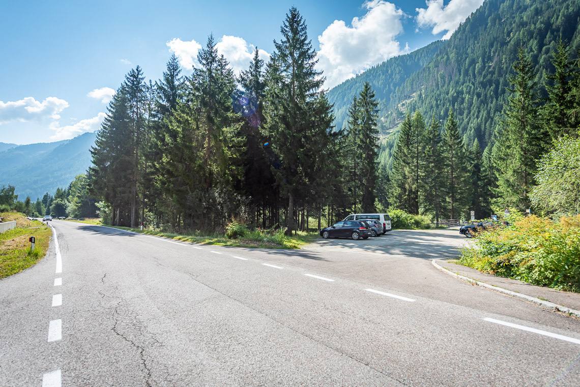
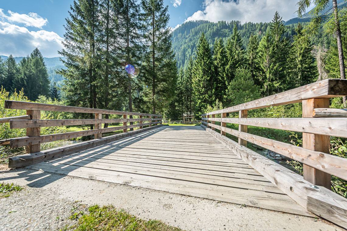
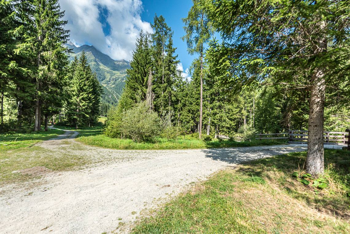
The Mühlwald Valley is known as the “Valley of Water”, a feature that is ever-present throughout the municipality and to which several family-friendly themed trails have been dedicated. The valley comprises three small mountain villages, several water mills, rushing springs and mountain streams, and captivates visitors with its rustic, unspoilt natural landscape.
At the bottom of the valley, just before Mühlwald, lies the tranquil Lake Mühlwald, a small reservoir that can be comfortably circumnavigated in half an hour via a barrier-free circular walk (to the Lake Mühlwald circular walk). Along the way, numerous rest areas with shaded seating invite you to linger.
Accessibility
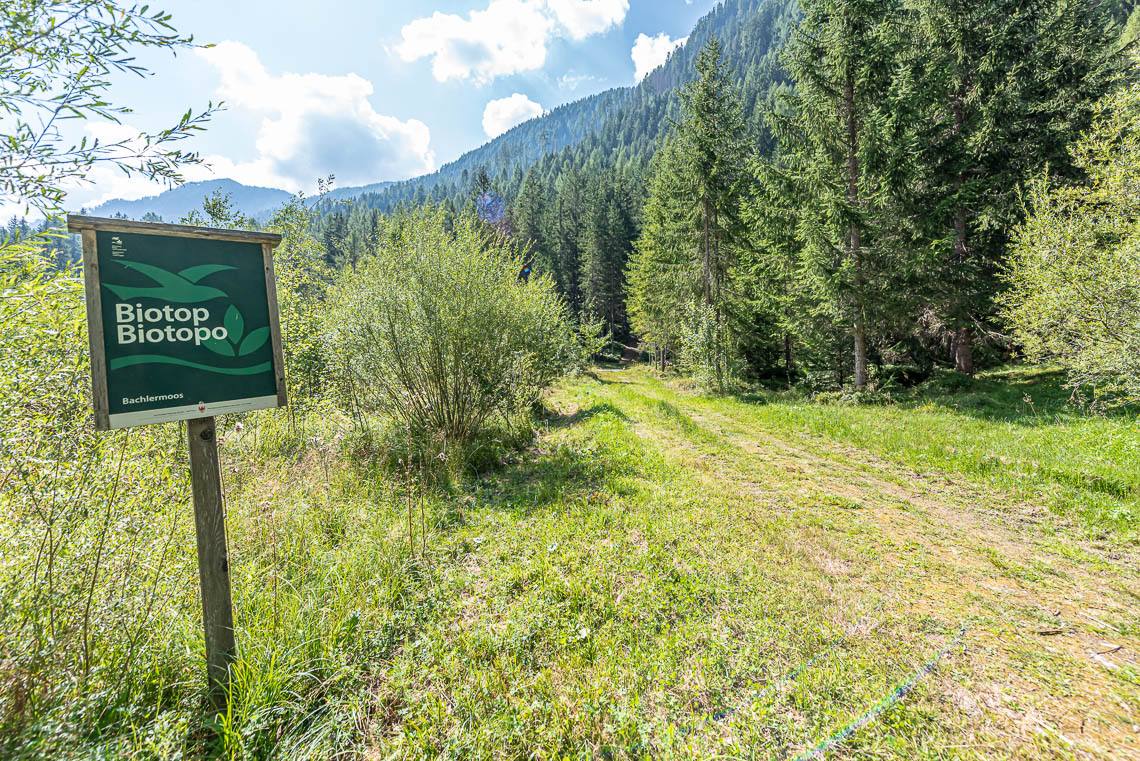
This rewarding hike in the Mühlwaldertal, a quiet side valley of the Tauferer Ahrntal, begins behind the mountain village of Mühlwald, at an altitude of around 1,230 m, at the Goschta Säge biotope and follows the popular valley path out of the valley to the child-friendly Sportbar leisure area (picnic spots and a small stream) and on to the idyllic Lake Mühlwald (barrier-free lakeside path).
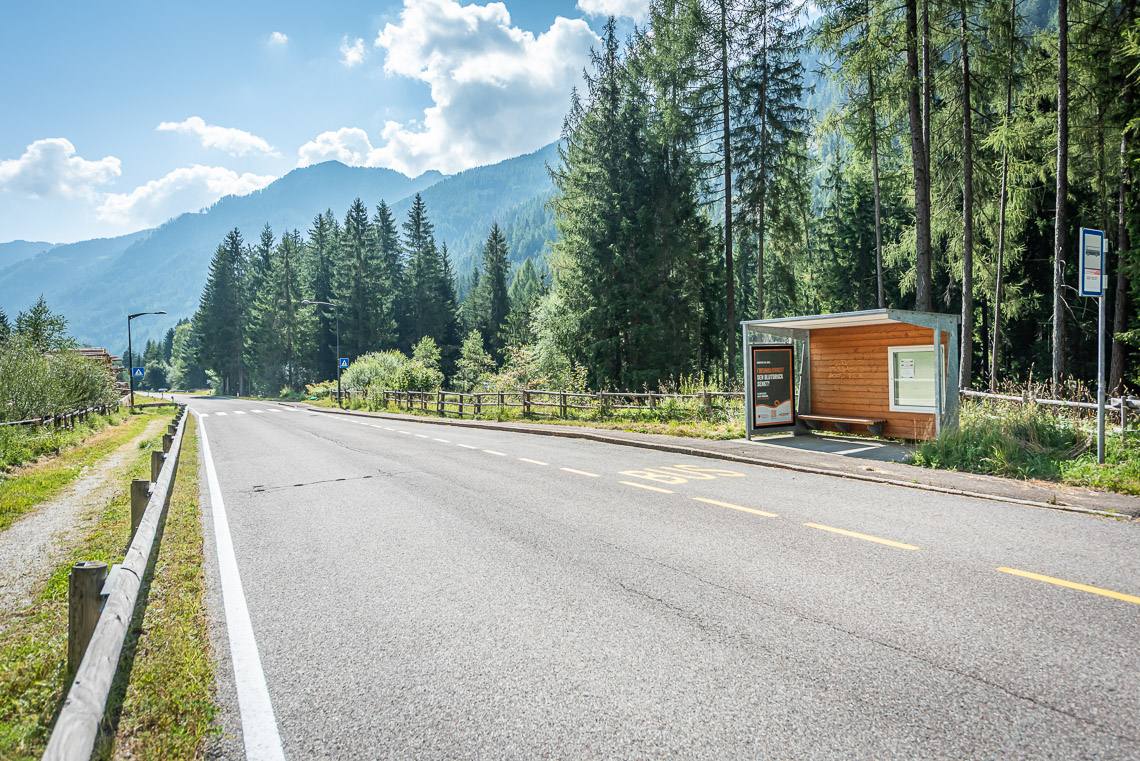
The route, which is around 3.5 km long in total, can also be divided into 3 shorter sections, each of which is accessible by public bus (line 451):
1. Goschta Säge (Venezianersäge) – Sportbar leisure area
2. Sportbar leisure area – Mühlwald village
3. Mühlwald village – Lake Mühlwald
Description
1. Section Goschta Säge – Sportbar leisure area (suitable for families with pushchairs, older people and sports wheelchairs or wheelchairs with electric motors).
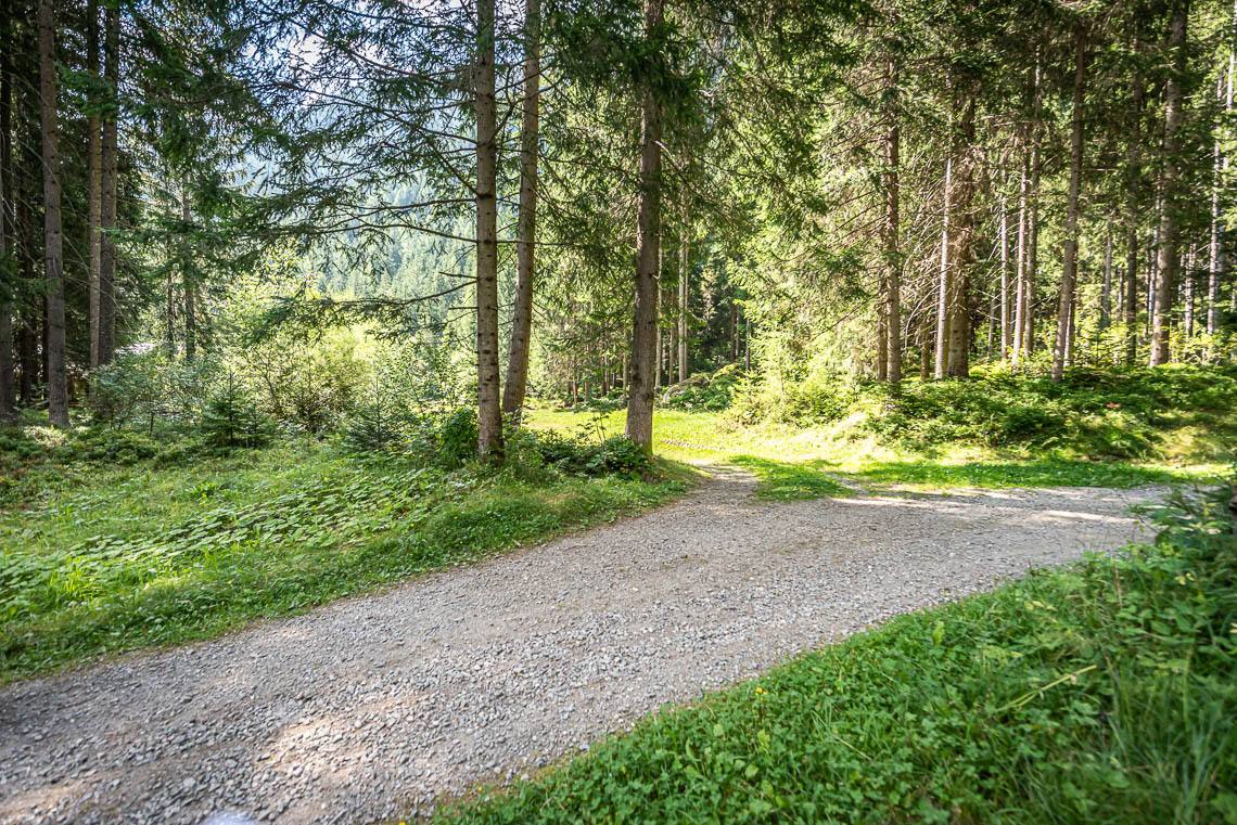
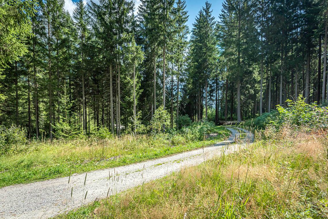
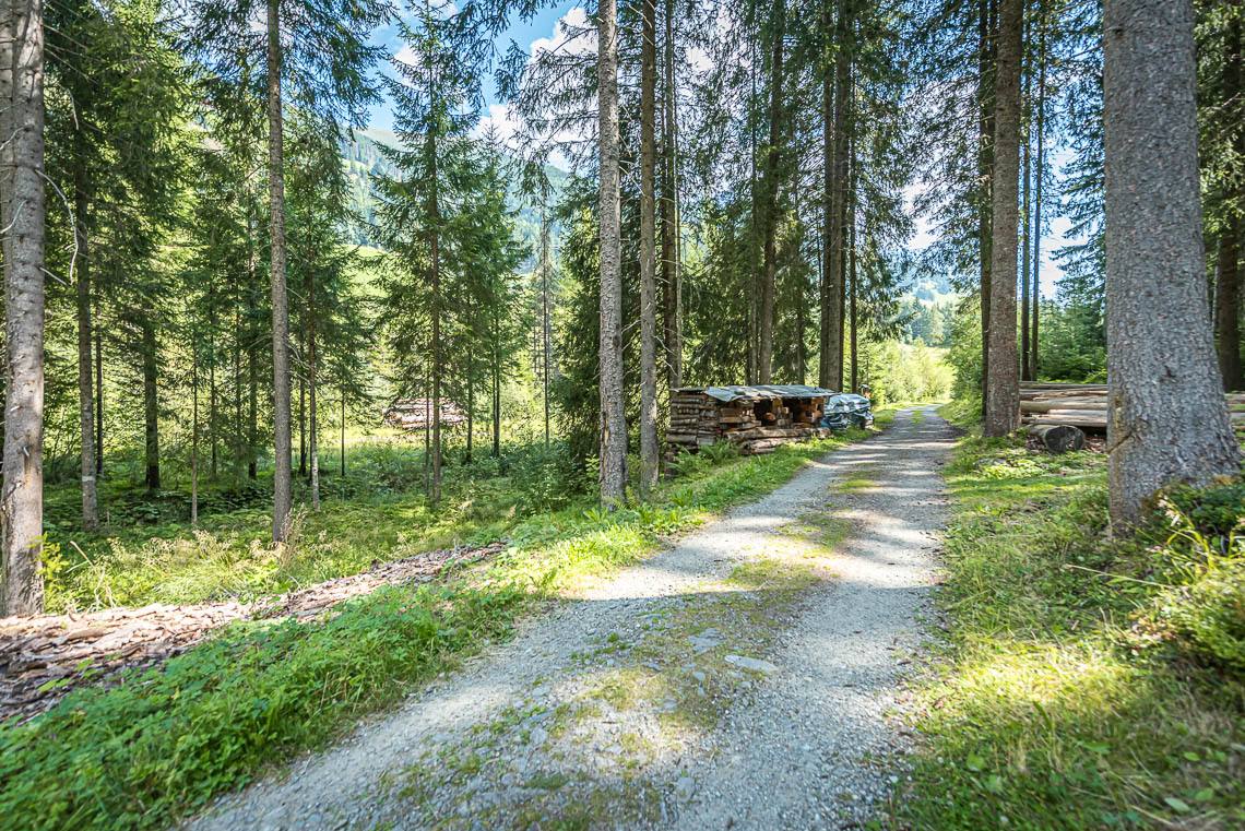
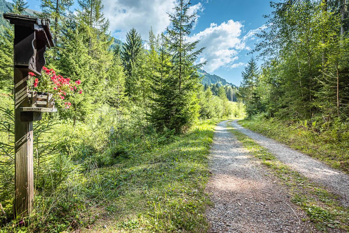
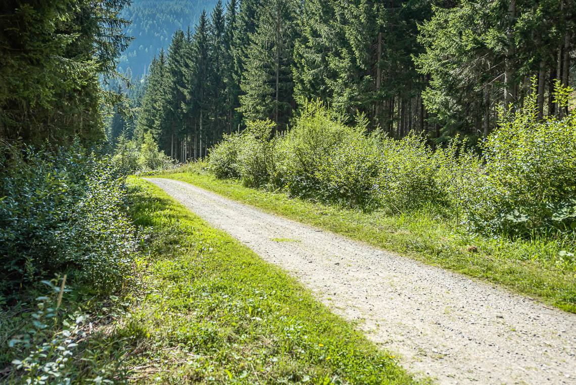
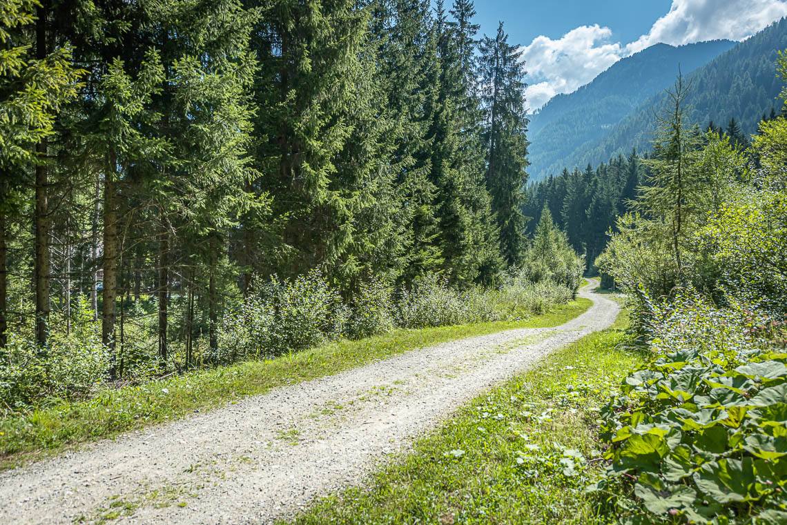
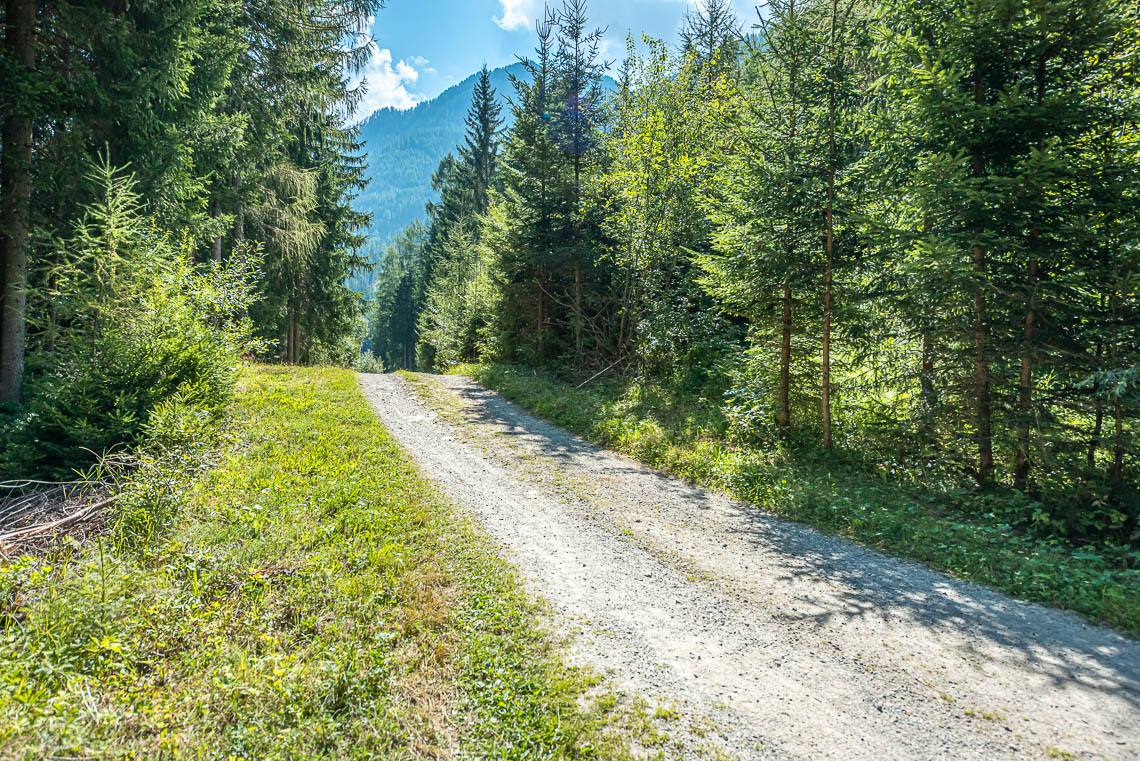
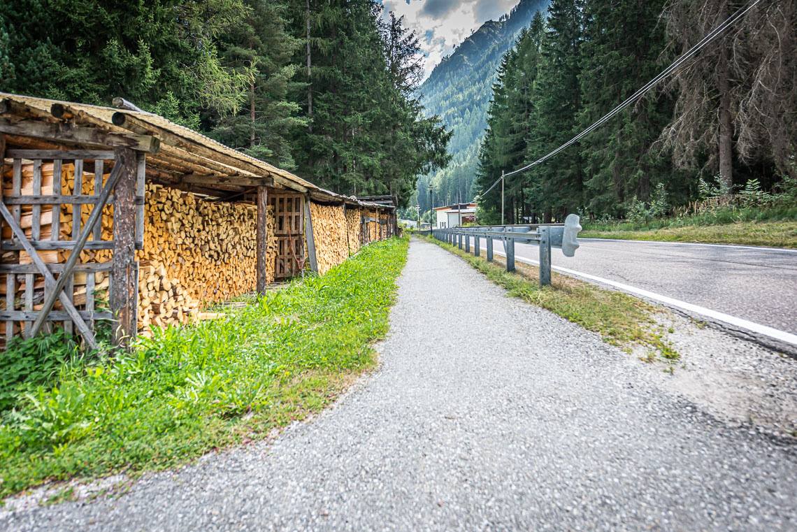
Surface: wide gravel path with grass growing in the middle, gravel ranging from fine to coarse, slight ups and downs, occasionally bumpy, final section on a tarmac footpath.
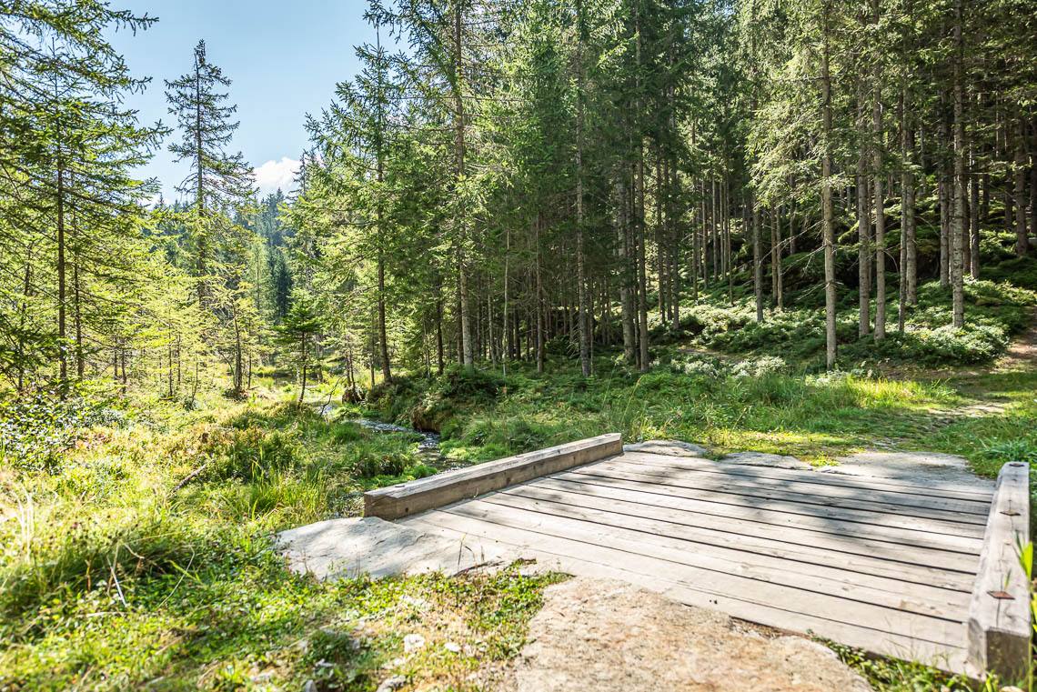
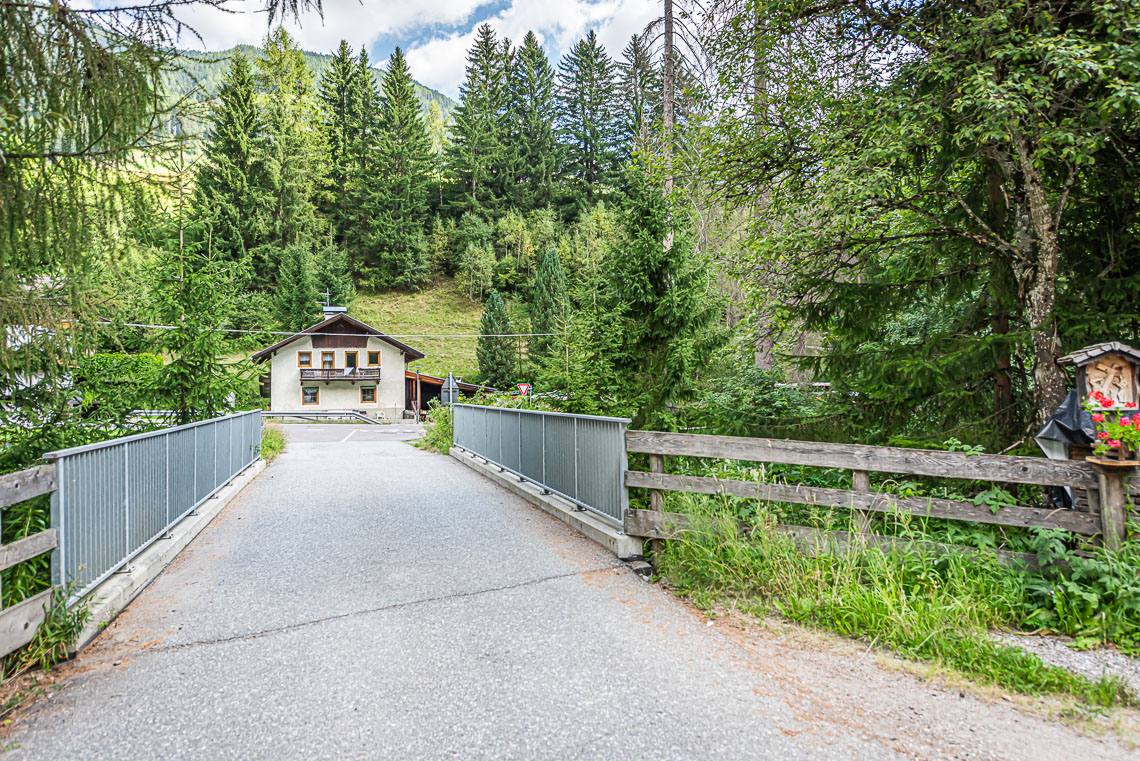
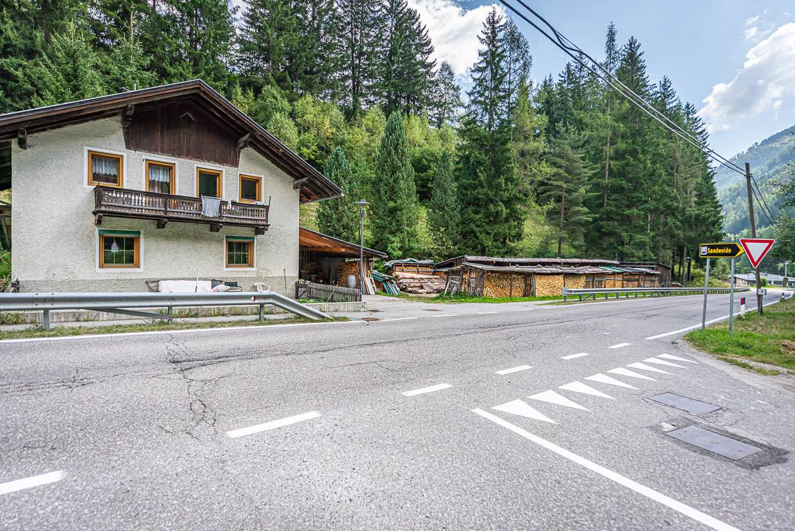
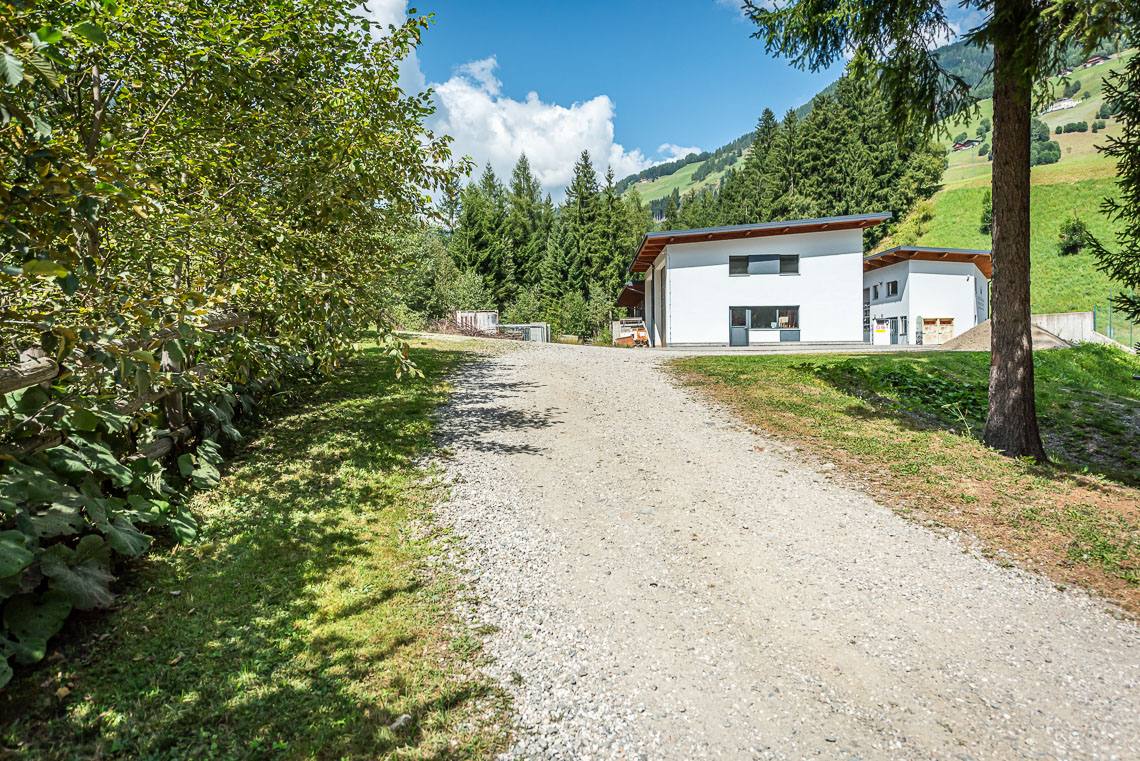
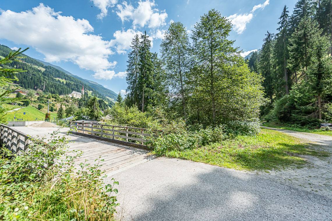
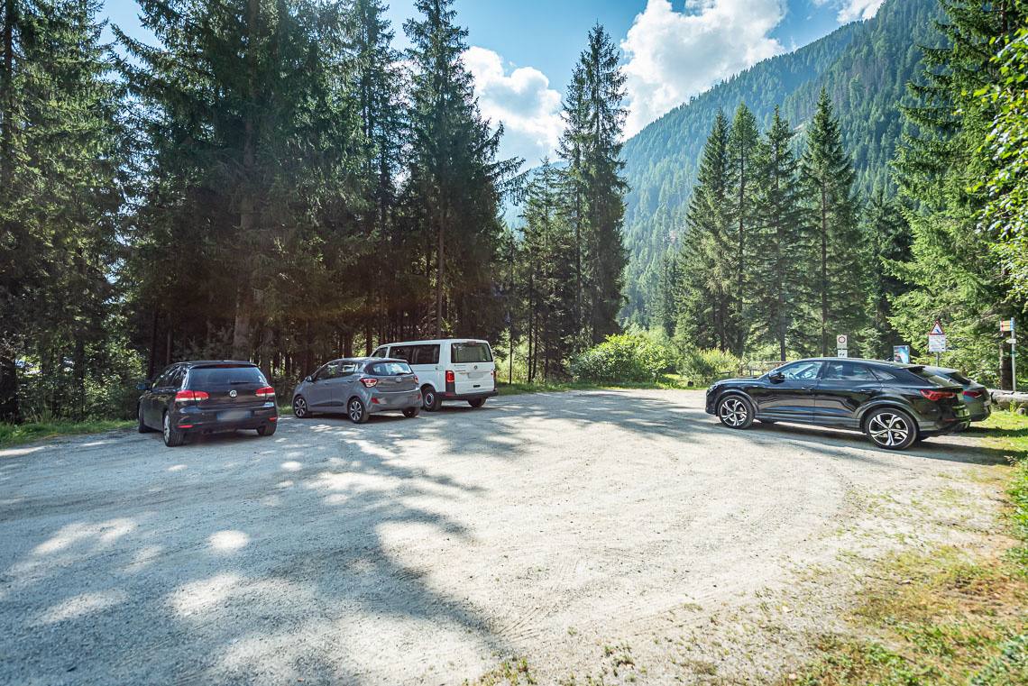
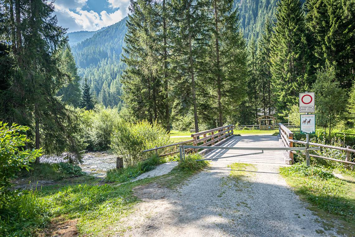
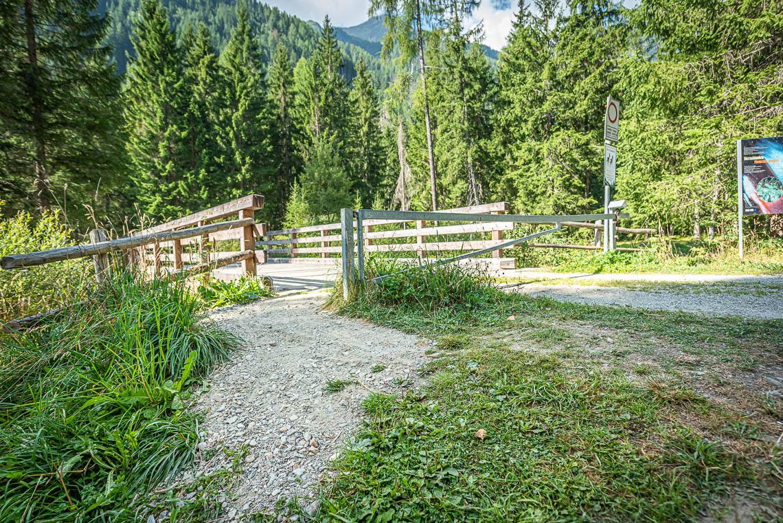
Starting from the small car park at the Goschta Säge biotope (Gasteiger Säge, Viertler – heading into the valley on the left-hand side of the road, no reserved parking space for people with disabilities, accessible Wassermann bus stop), we pass a barrier (side passage >120 cm, cross-slope 10%) and cross the Mühlwalderbach on a wooden bridge.
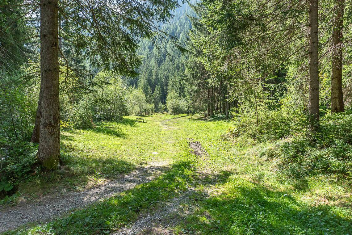
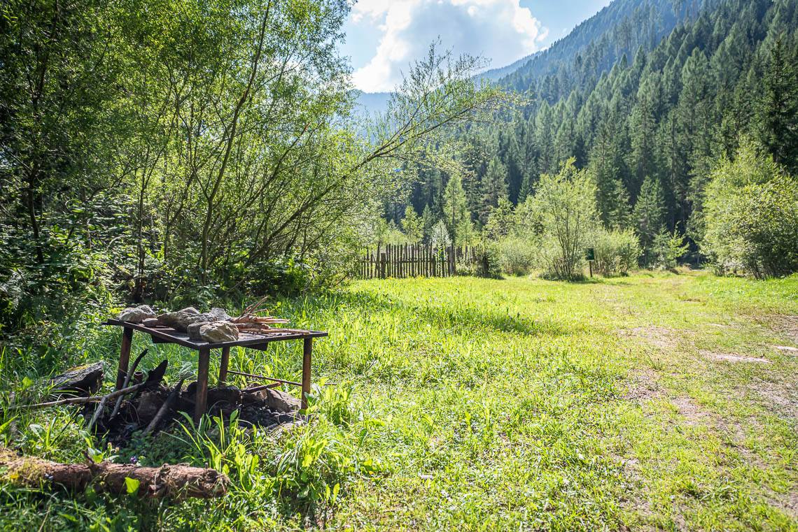
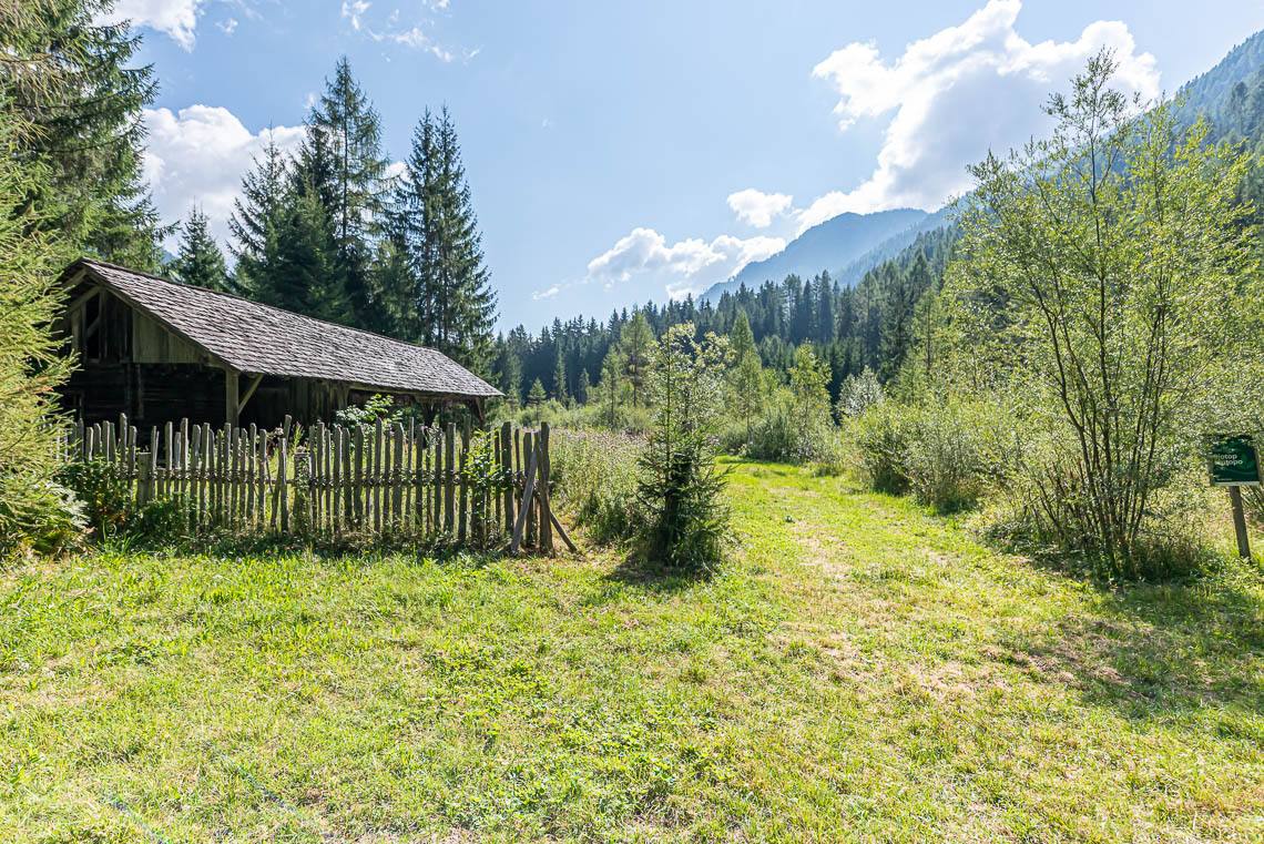
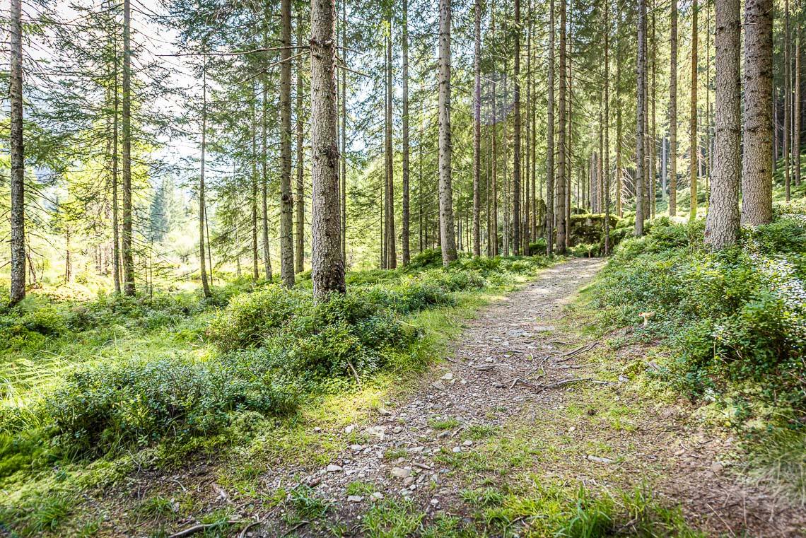
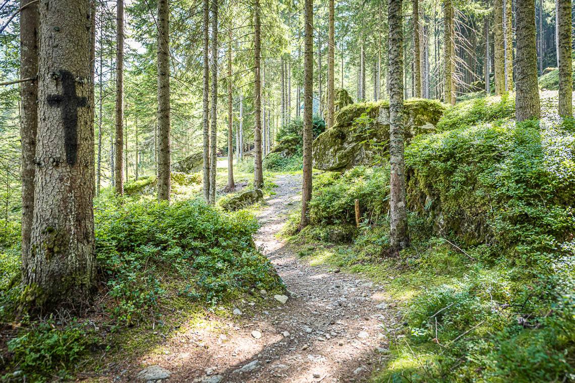
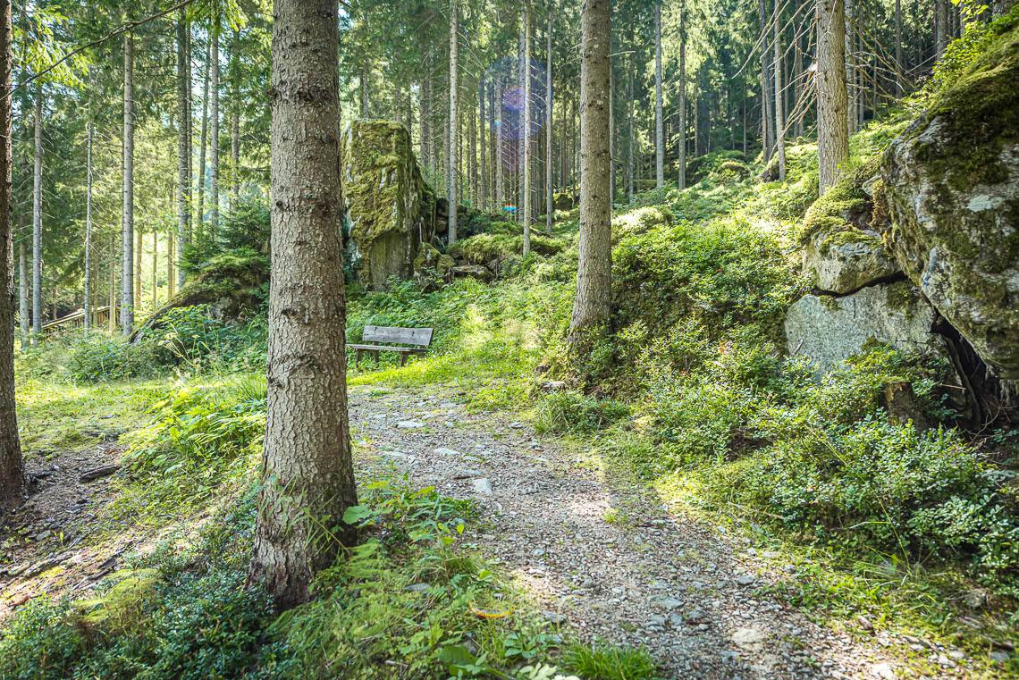
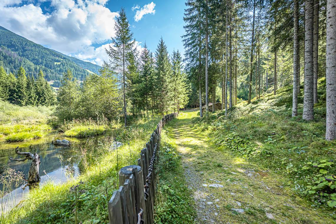
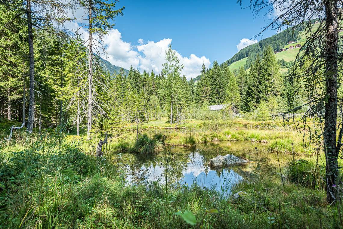
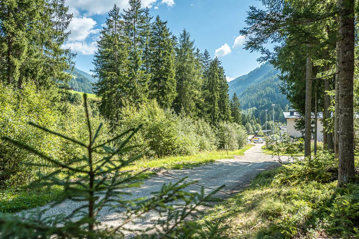
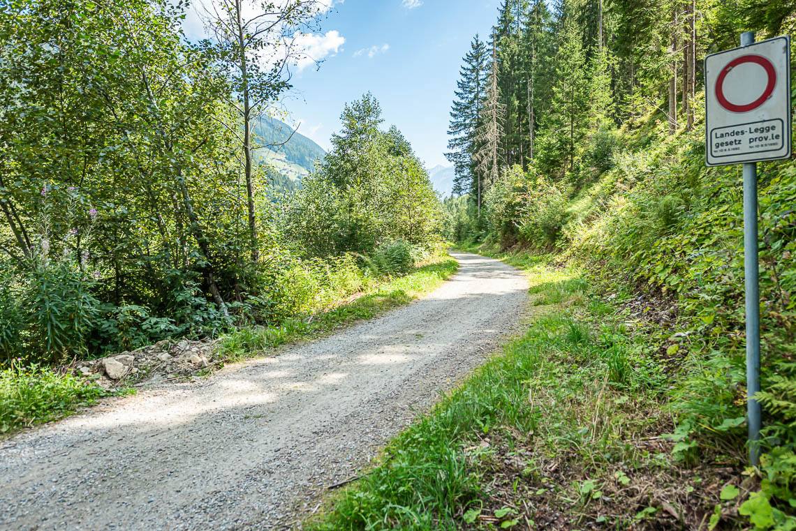
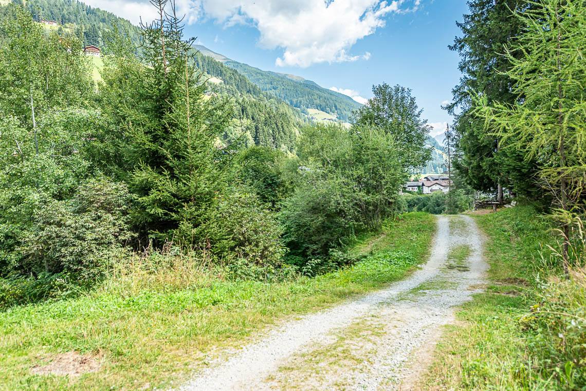
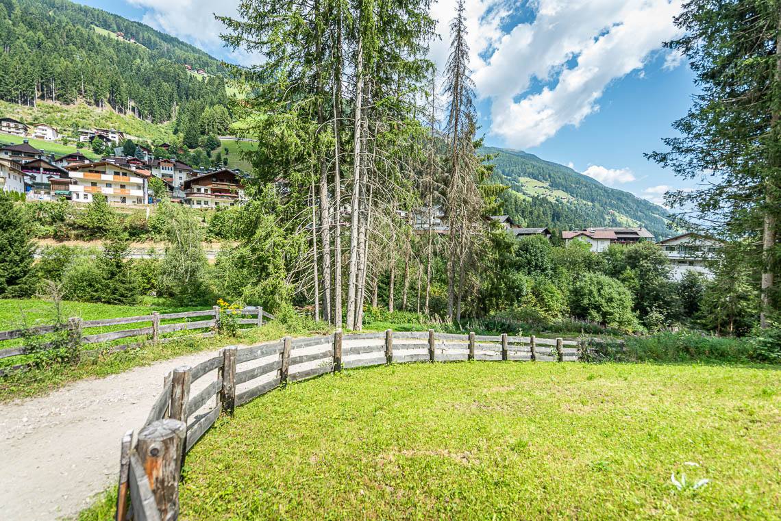
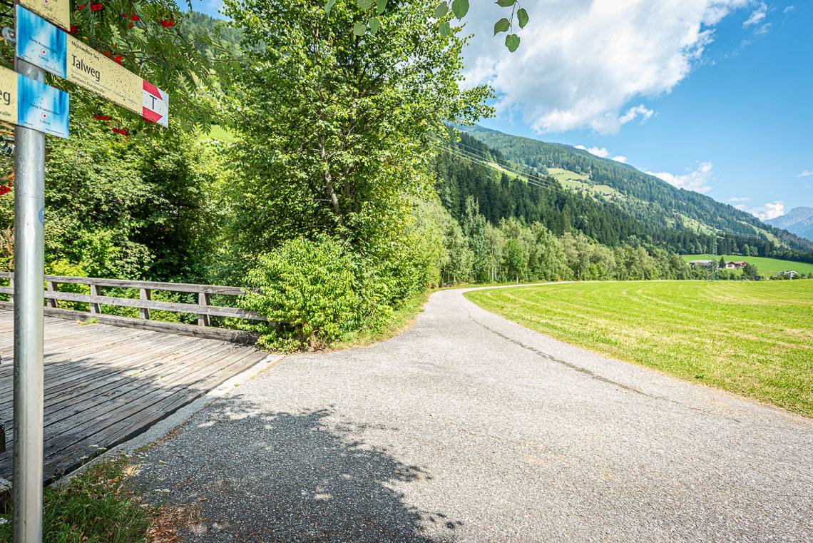
A rewarding circular walk around the Goschta Säge nature reserve: Just after the wooden bridge, we turn right and follow the sign for ‘Talweg’, initially heading into the valley along a wide, unpaved forest track (with two short sections featuring an 8–10% gradient). After just 100 m, we leave the forest track and turn left into the Goschta Säge biotope. The path to this unspoilt moorland biotope, on the edge of which stands the former Venetian sawmill Goschta Säge (not accessible), runs through a sunny woodland meadow along an unpaved track with a grass surface, which has a few bumpy sections and may have sections that become soft, particularly when it rains. After crossing a small stream via a wooden footbridge, we leave the track we have been following and turn left onto the narrower forest path heading out of the valley (> 120 cm, uneven surface due to roots and stones, 2 m long incline at 15%, followed by ups and downs with a section of around 25 m at 10–15%).
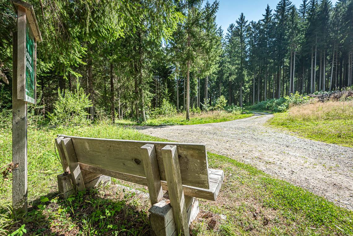
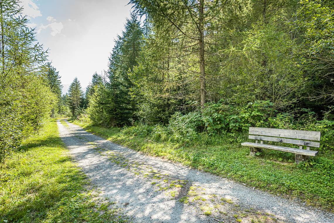
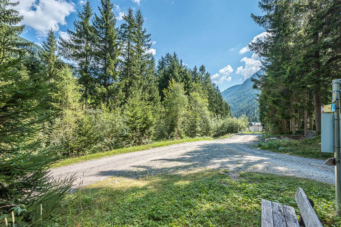
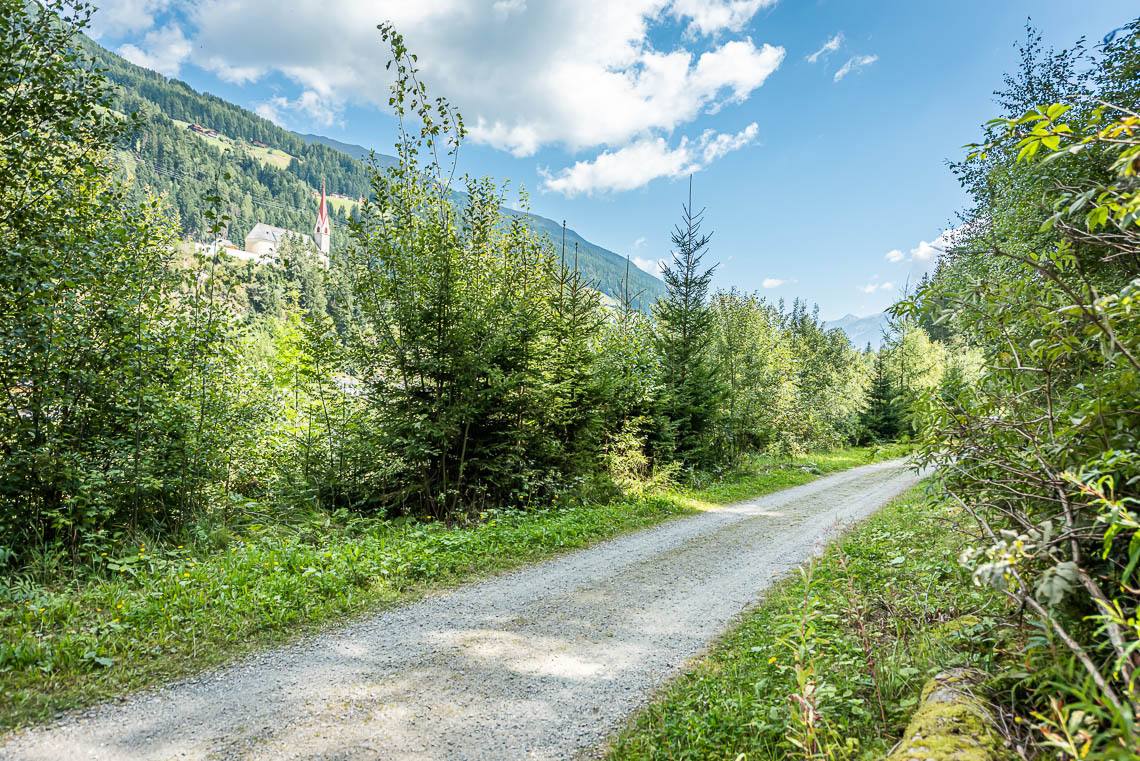
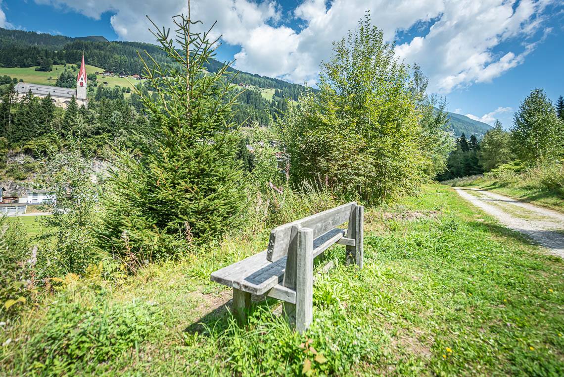
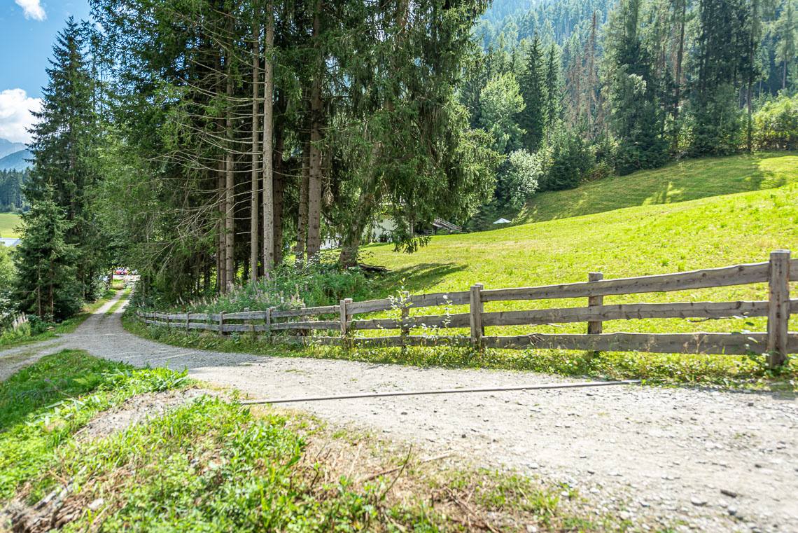
We now follow the wooden fencing of the biotope on the left-hand side until, a short while later, we come to a bench and rejoin the original valley path, which from here leads us further down the valley along a wide, gravel-surfaced forest track. If the circular route around the Goschta Säge biotope described above proves too difficult, you can simply turn left at the wooden bridge by the Goschta Säge car park and follow the signposted valley path (gravel forest track) down into the valley. The rest of the forest track (gravel path, with grass growing in the middle) features several steady climbs (50 m at 8%, 20 m at 8%, 15 m at 12%) followed by corresponding descents (50 m at 12%, 20 m at 10%, 15 m at 12%).
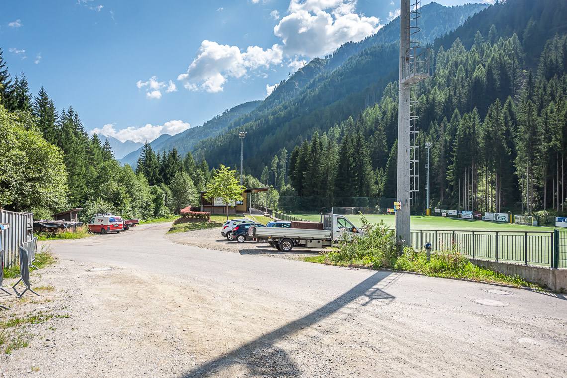
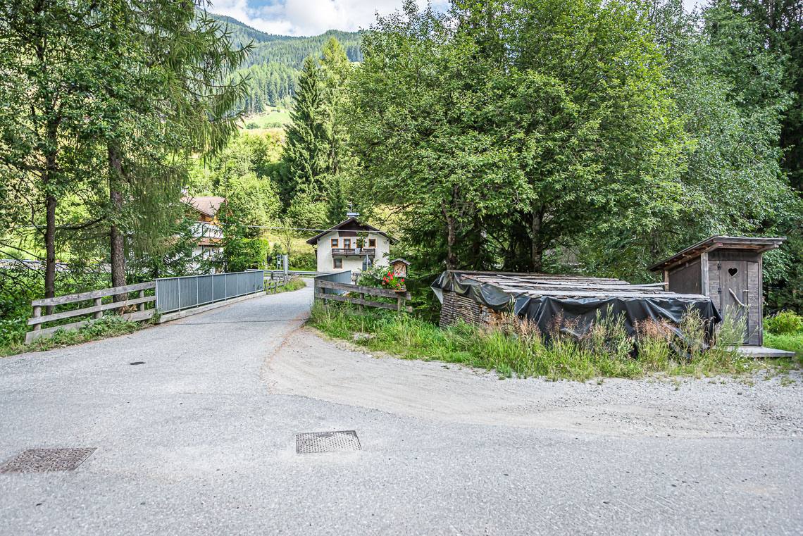
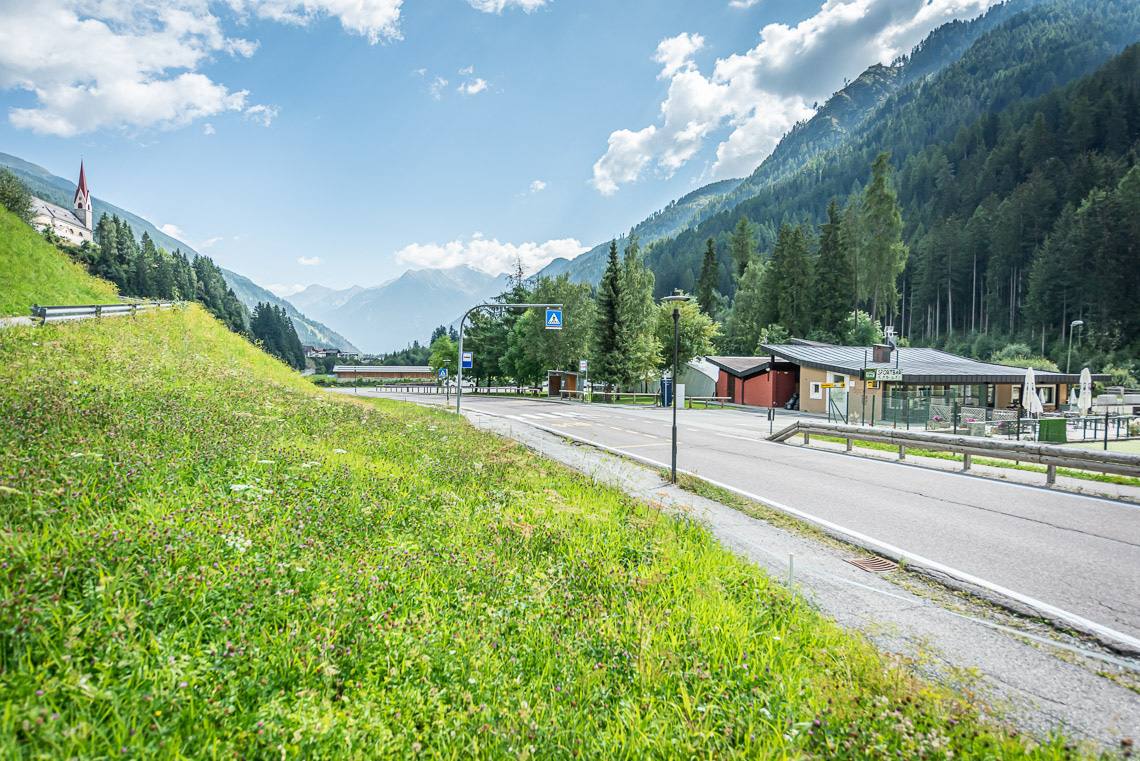
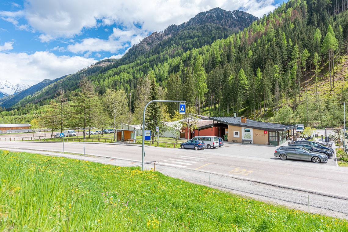
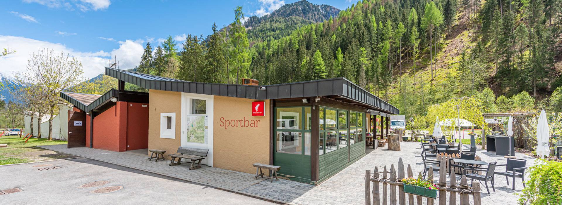
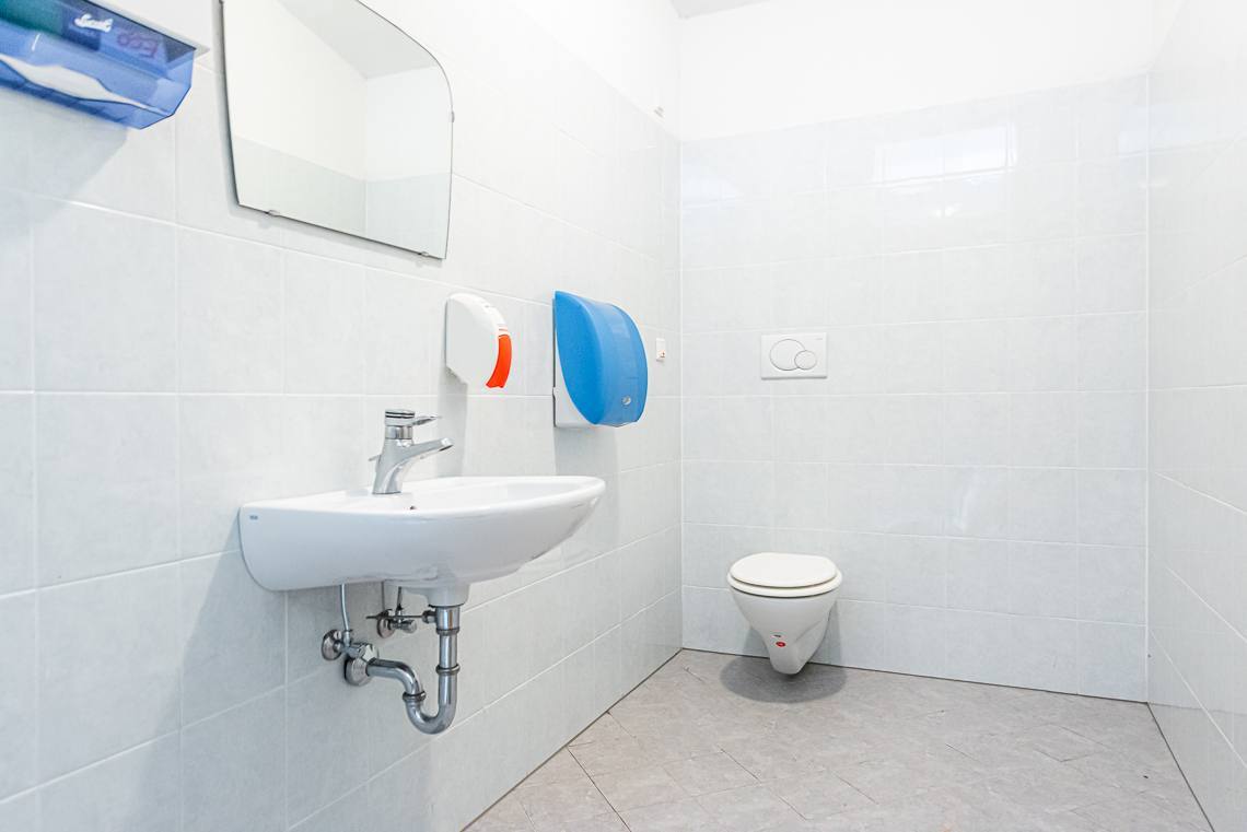
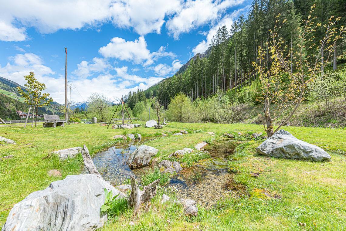
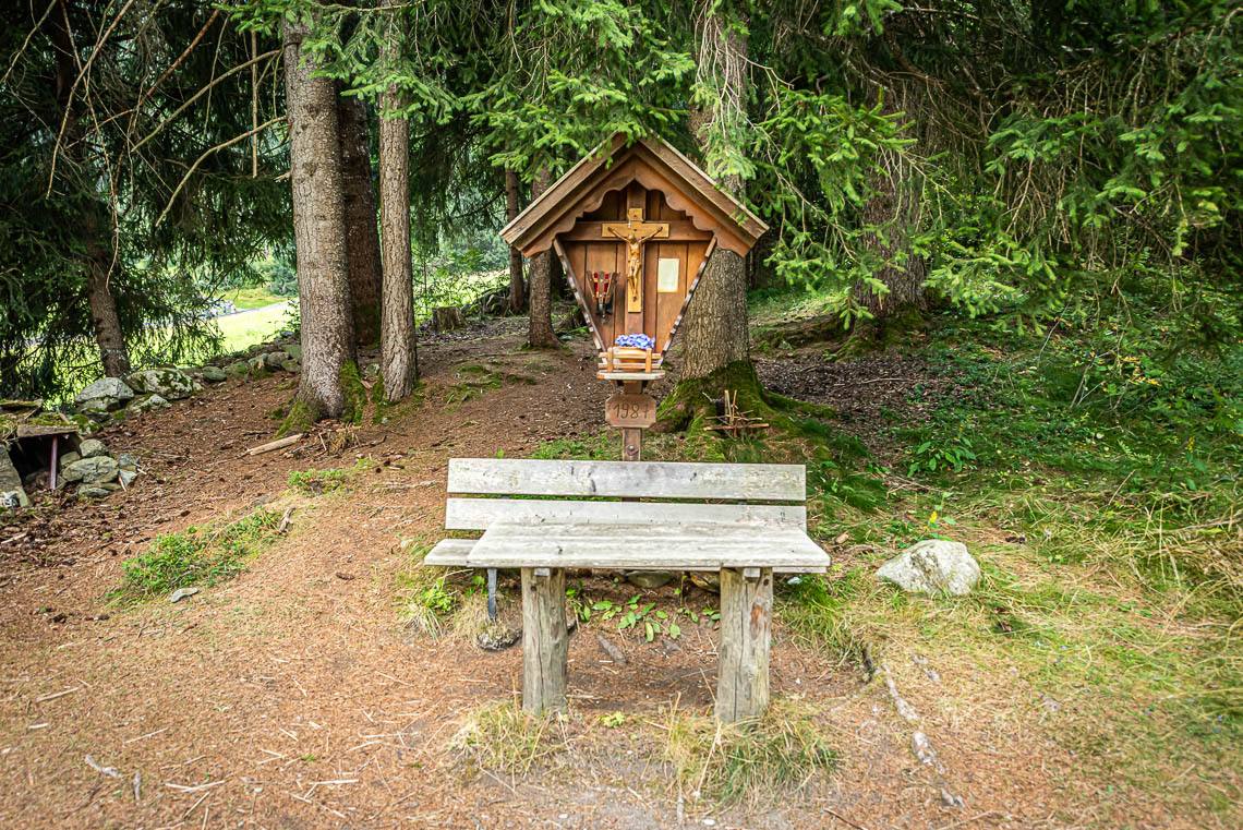
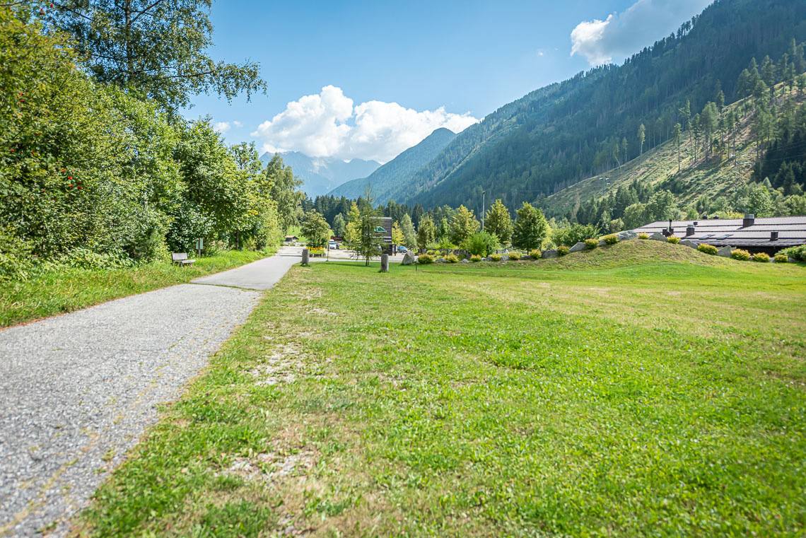
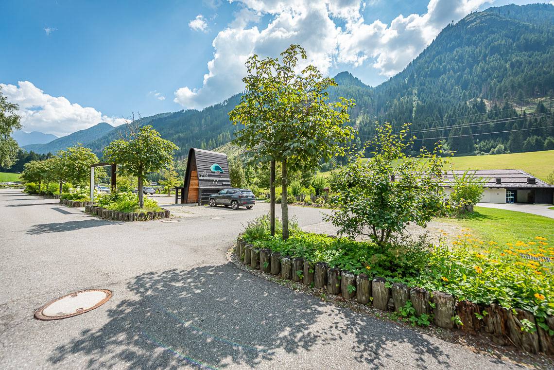
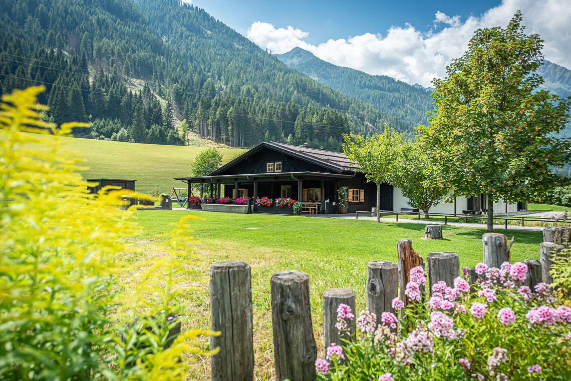
Benches are placed at regular intervals along the path, inviting you to take a break. Before we reach the football pitch, the forest path becomes slightly steeper again for about 150 metres (8–10% gradient, up to 15% in places). Once we reach the football pitch (toilets in a wooden hut | not accessible), we turn left and cross the bridge over the Mühlwalderbach stream and the adjoining main road (no zebra crossing) to follow the pavement along the road down to the Sportbar leisure area (picnic areas, playground, small stream, accessible toilet without handrail, accessible bus stop, 2 charging points for electric cars).
The stage so far is just under 2 km.
-----------------------------------------------------------------------------------
Section 2: Sportbar Leisure Area – Mühlwald Village (suitable for families with pushchairs, older people, and those using sports wheelchairs or wheelchairs with electric motors).
Terrain: a wide gravel path with grass growing down the middle; the gravel ranges from fine to coarse; the path undulates slightly and is occasionally bumpy.
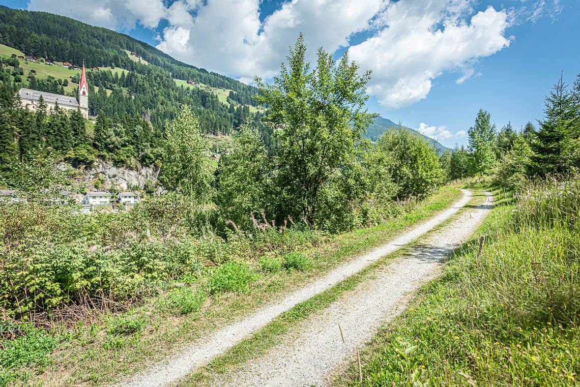
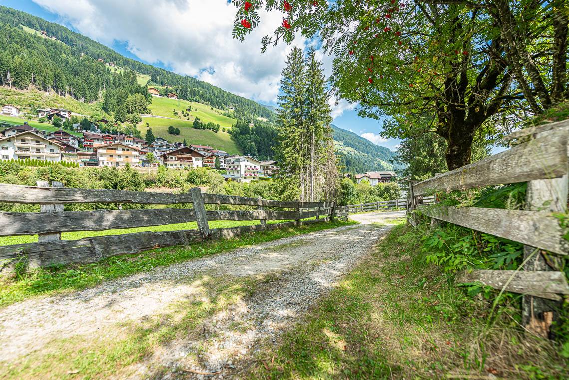
At the Mühlwald municipal works yard, above the Sportbar leisure area, we cross the Mühlwalderbach stream via a wooden bridge and follow the signposted valley path to the left, heading out of the valley: the gravel-surfaced forest track runs along the edge of the woodland on the other side of the Mühlwalderbach, through a varied landscape teeming with orchids. There are benches at regular intervals along the route. The path is mostly fairly even, but includes a moderate climb (100 m, 8%) and two consecutive sections where the path drops steeply (20 m, 15%, 50 m at 15%) until we finally descend via a fenced S-bend, around 200 m long, to the Seeber garage in Mühlwald village (accessible bus stop).
The section from the Sportbar leisure area to Mühlwald village is 1 km.
-----------------------------------------------------------------------------------
Section 3: Mühlwald village – Lake Mühlwalder (Suitable for everyone: families with pushchairs, older people and people in manual wheelchairs).
Surface: a wide, almost flat footpath with an asphalt surface.
-----------------------------------------------------------------------------------
Section 3: Mühlwald village – Lake Mühlwalder (Suitable for everyone: families with pushchairs, older people and people in manual wheelchairs).
Surface: a wide, almost flat footpath with an asphalt surface.
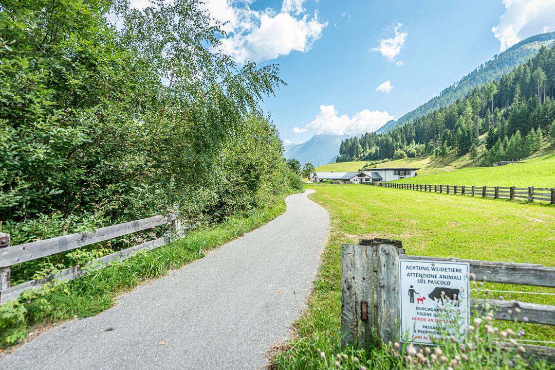
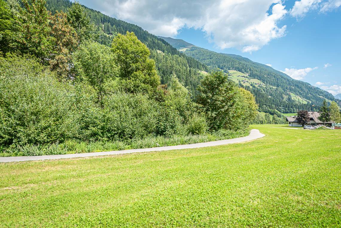
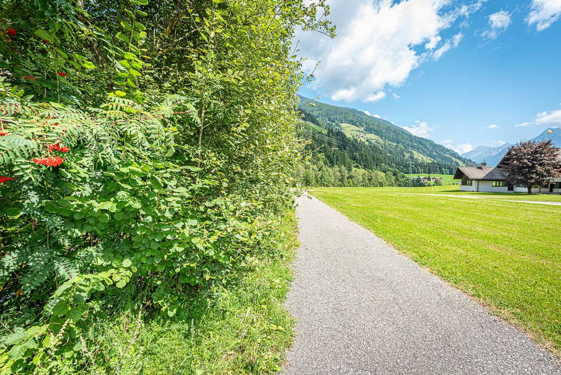
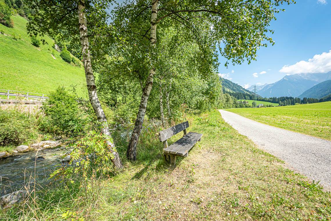
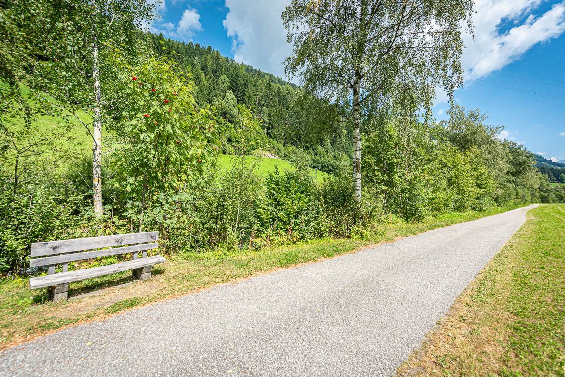
From Mühlwald (accessible bus stop at Mühlwald Dorf), we follow the wide, tarmac-surfaced Meggima Weg along the banks of the Mühlwalderbach, on almost level ground heading out of the valley, to Lake Mühlwalder See (accessible toilet at the Restaurant Meggima; bus stop at the Hotel am See – the stop heading into the valley has no raised kerb). There are numerous benches along the route.
The section from Mühlwald village to Lake Mühlwalder here is around 0.5 km.
Information about the walk
Suitable for:
Sections 1 and 2 are suitable for sportier wheelchairs or wheelchairs with a traction motor
Section 3 is fully accessible and suitable for everyone.
Section 3 is fully accessible and suitable for everyone.
Road surface:
Ghiaia, asfalto, passerella in legno
Bars/Restaurants:
Bar Restaurant Pizzeria Meggima am See
Sportbar
Sportbar
Public transport:
There will be 451
WC:
Sì
Sun/Shade:
Sun and shade