Olang Village Loop
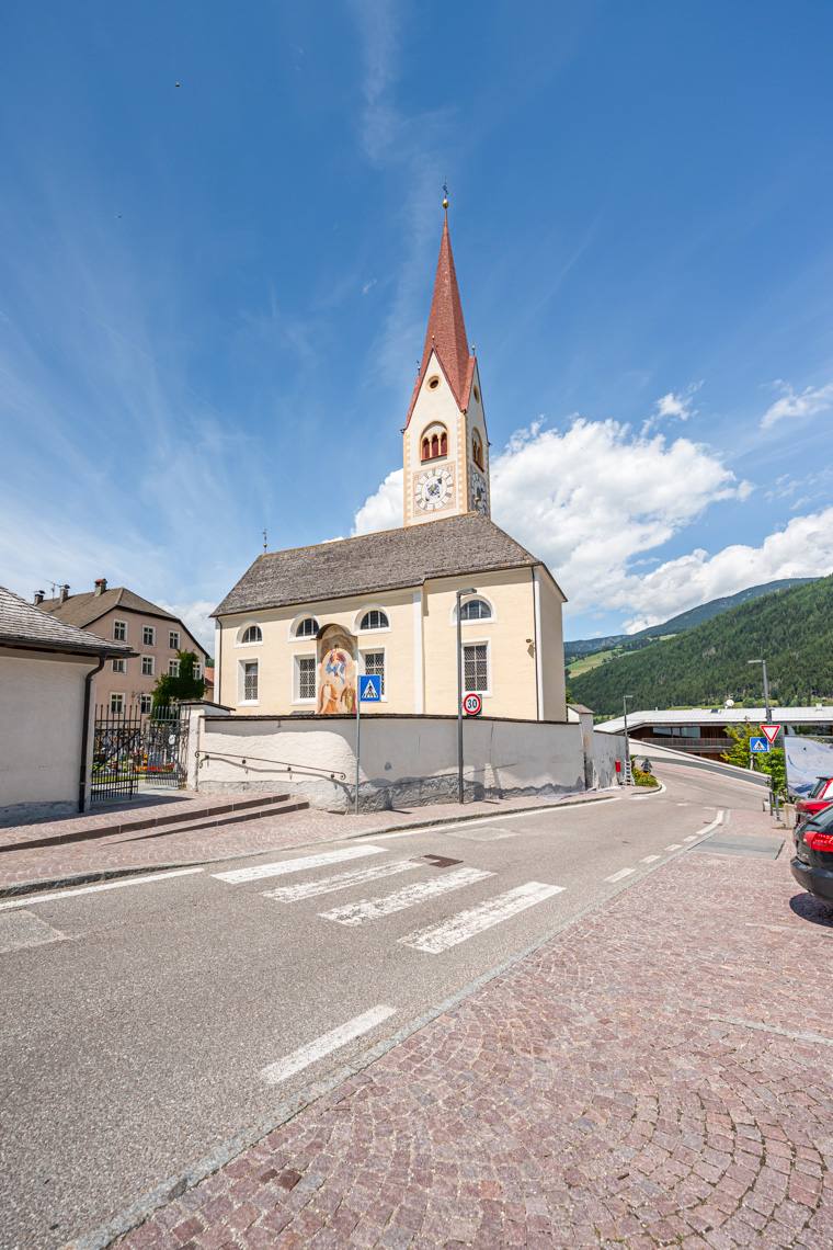
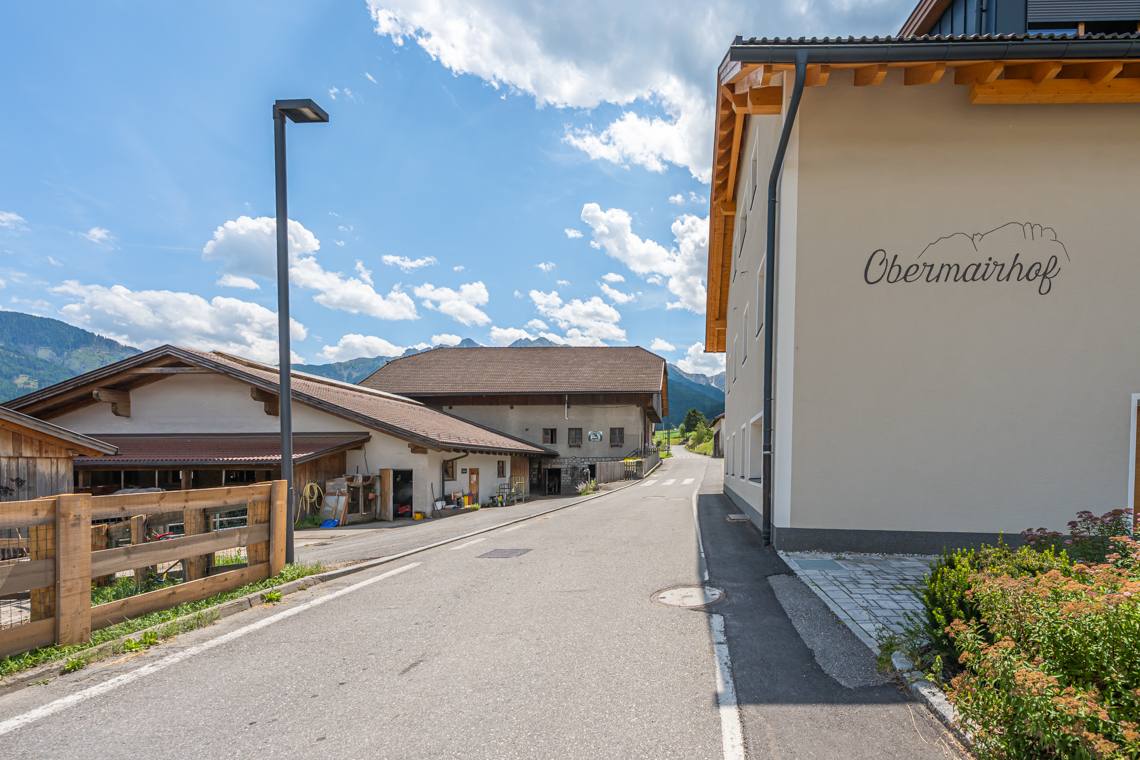
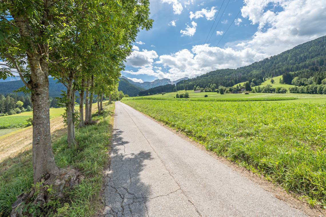
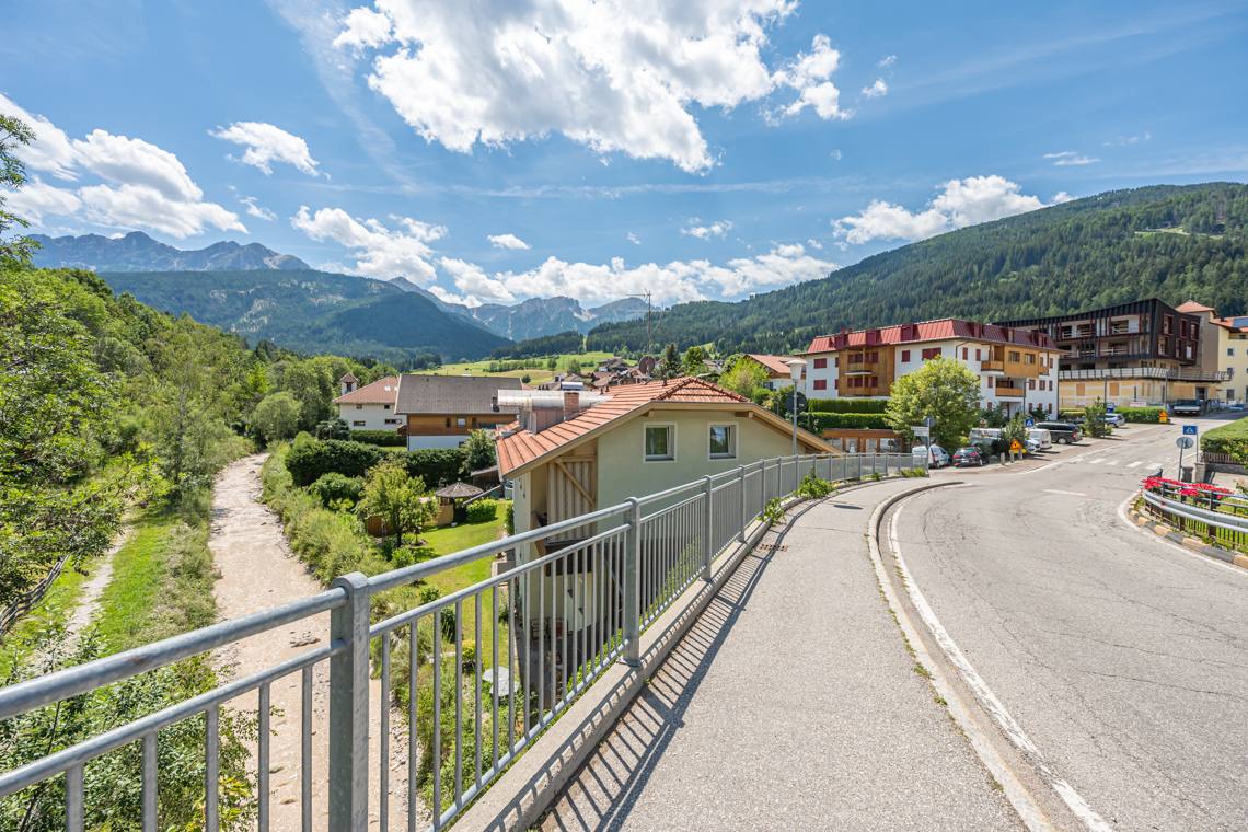
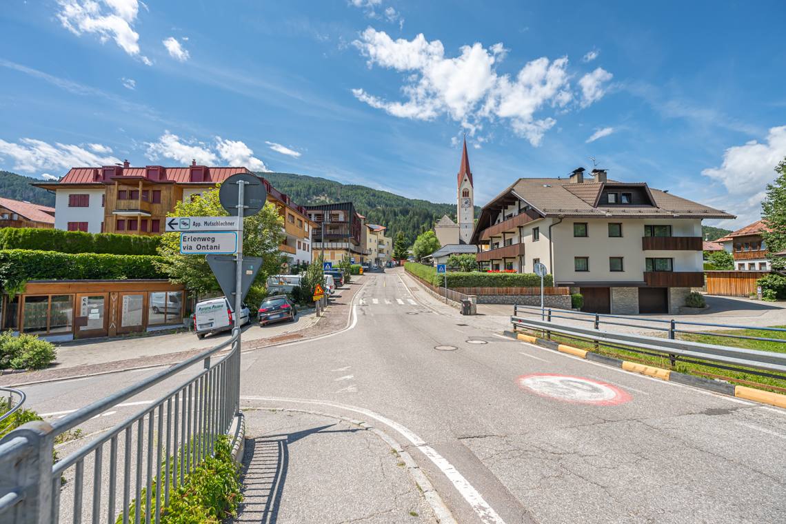
This beautiful circular hike invites visitors to explore local culture and valley landscapes along a varied, scenic itinerary connecting the three villages of Valdaora di Sotto, Valdaora di Sopra, and Valdaora di Mezzo. The route winds through historic village centers, sunny open meadows, and cultural landmarks, offering splendid views of the surrounding mountains.
Although it develops mostly on paved roads and protected pedestrian paths, the trail has a significant overall length and short stretches with steeper gradients. For this reason, the hike is ideal for families with children and strollers, while for wheelchair users the use of a power wheelchair or an electric pulling device is recommended.
Accessibility
By car: From Brunico, take the SS49 main road to Valdaora, continuing to the parking area near the Church in Valdaora di Sotto (Niederolang).
By public transport: Citybus line 435.2 and CallBus service (bus stop Niederolang, Church).
Description
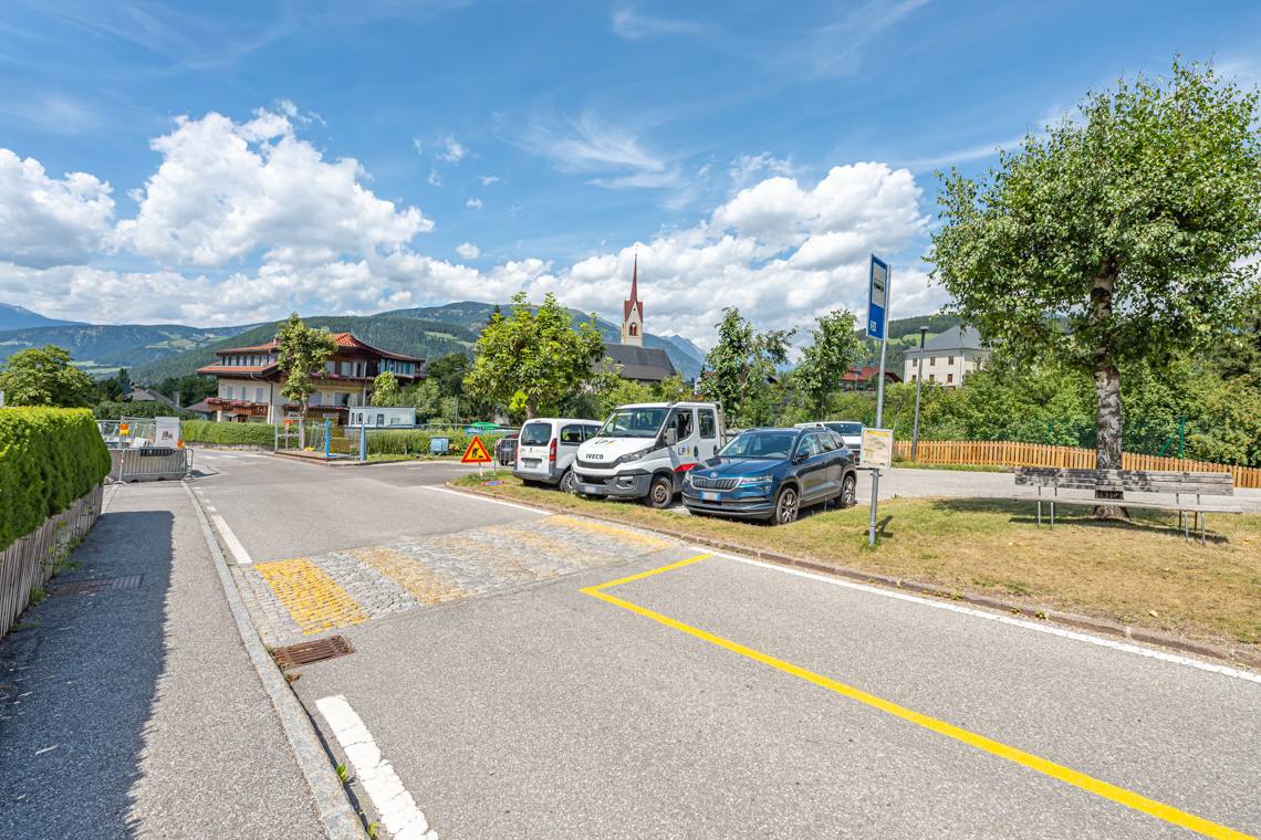
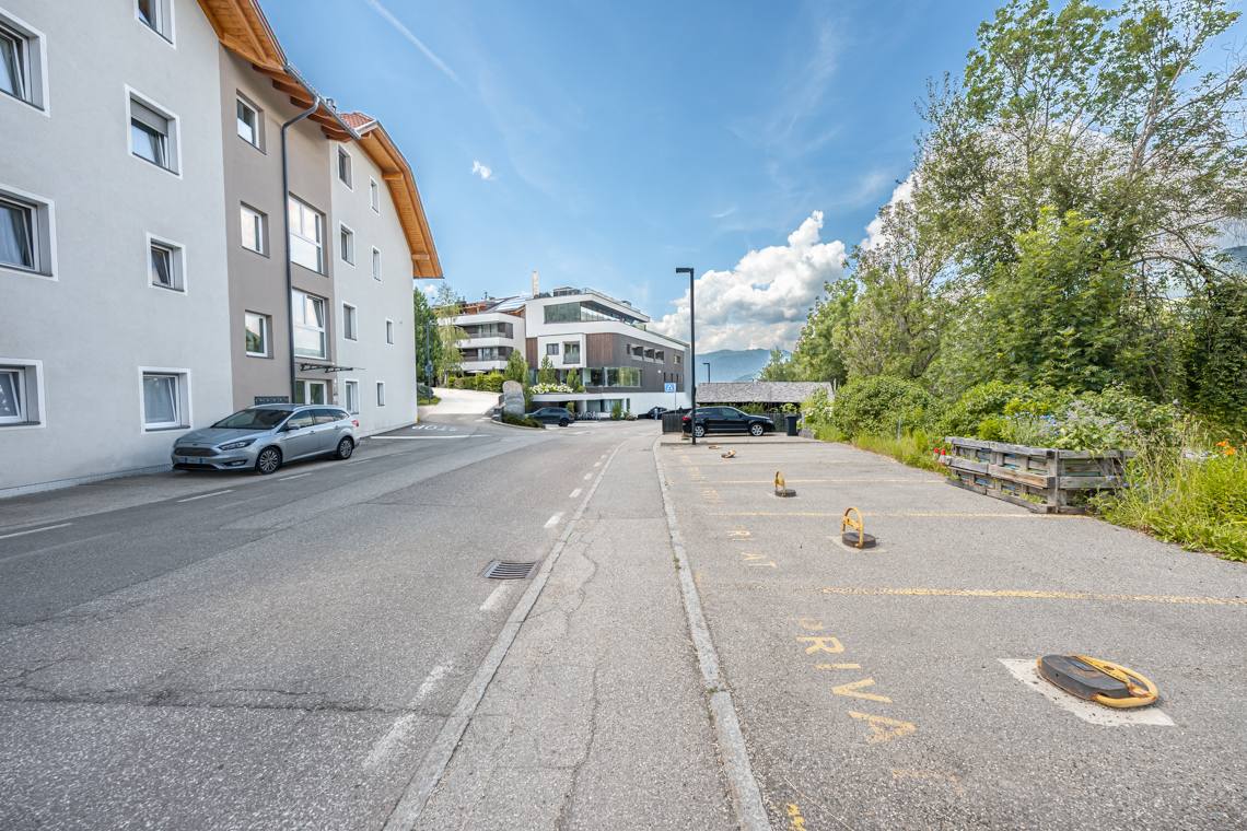
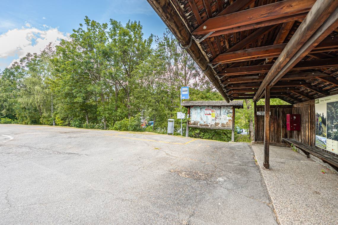
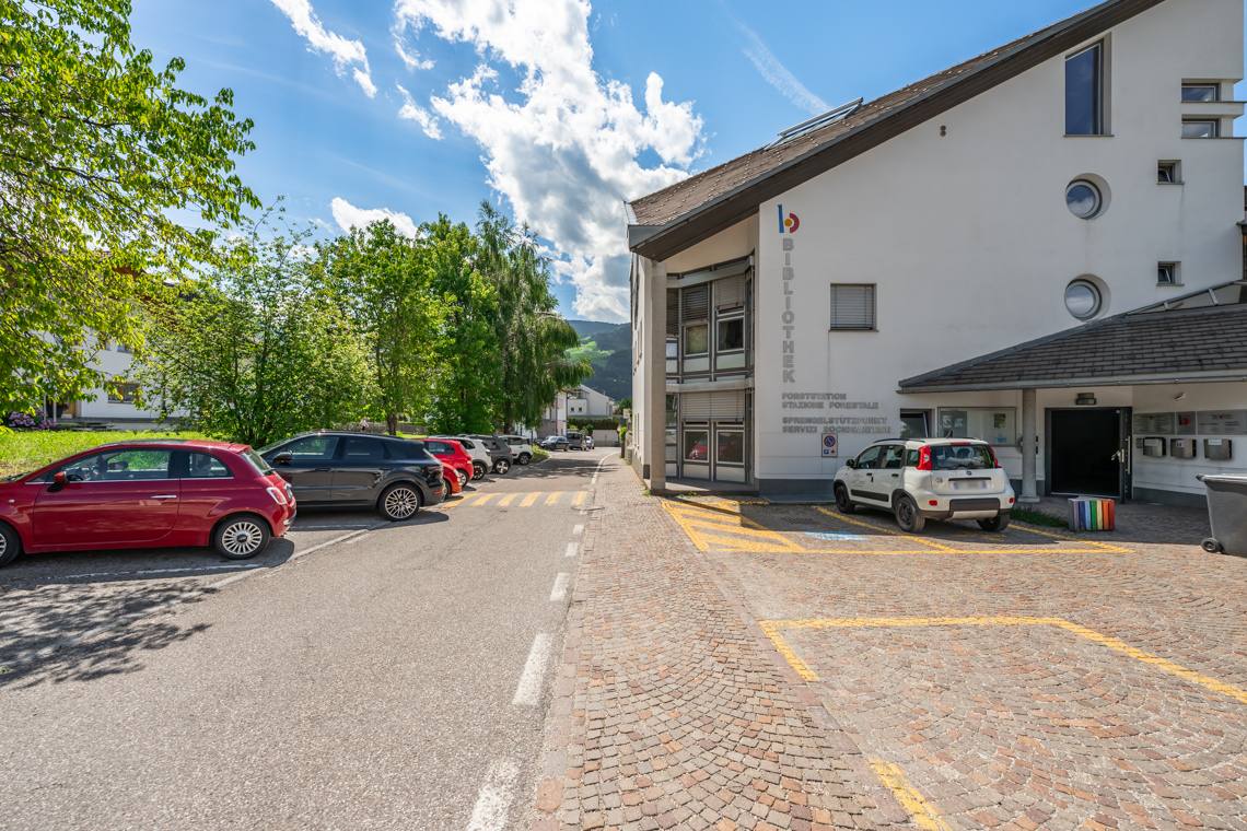
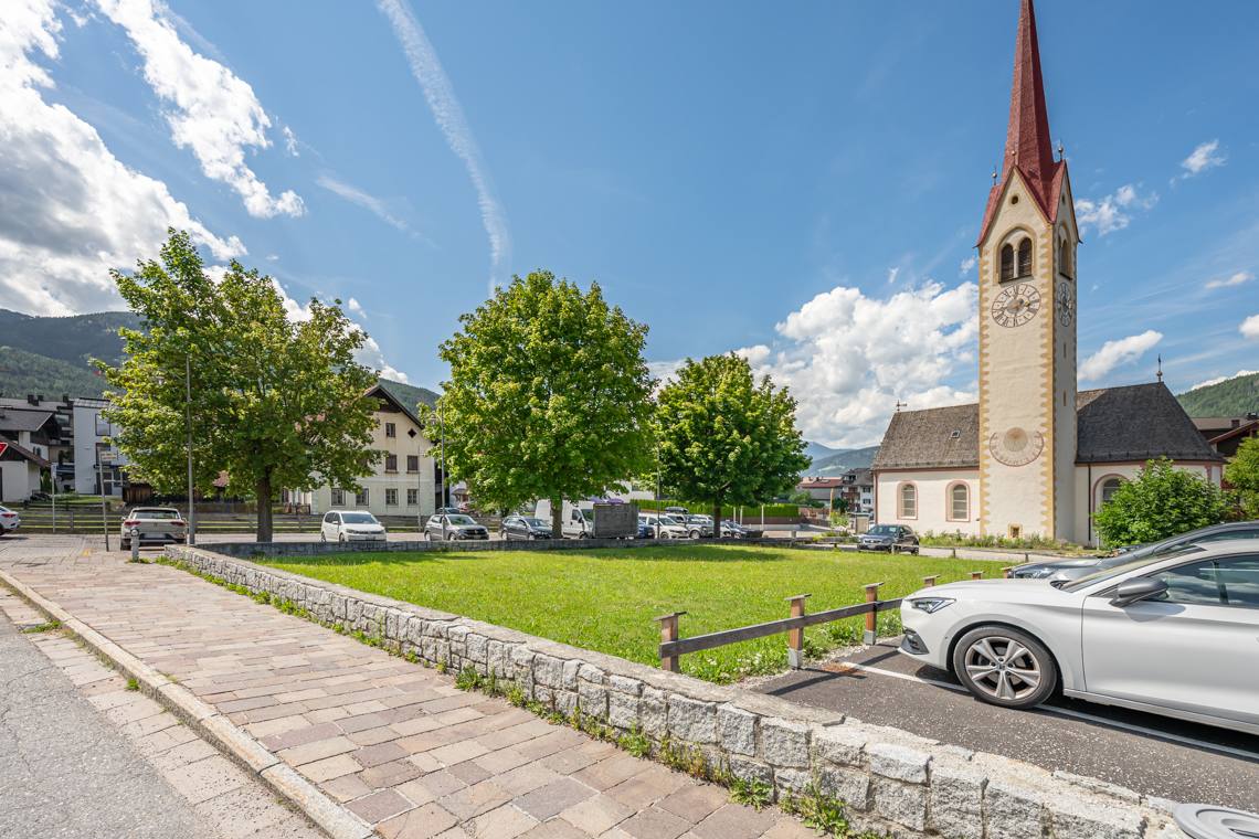
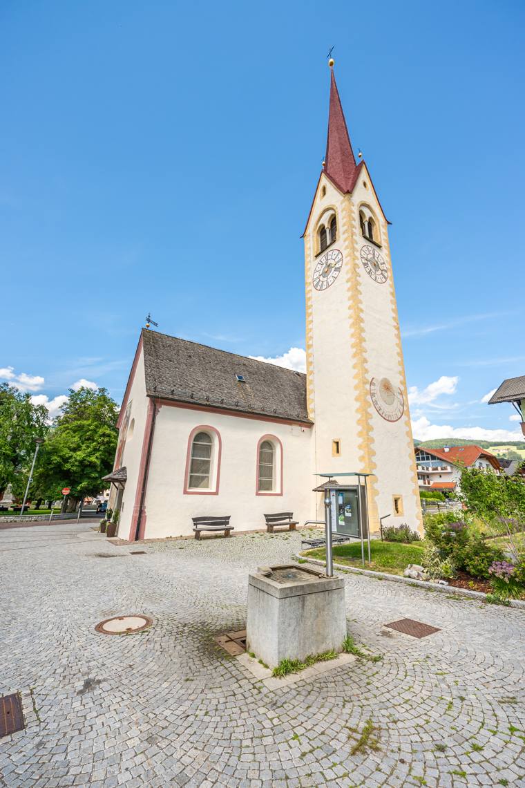
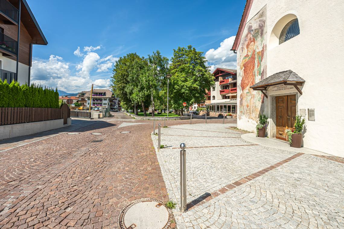
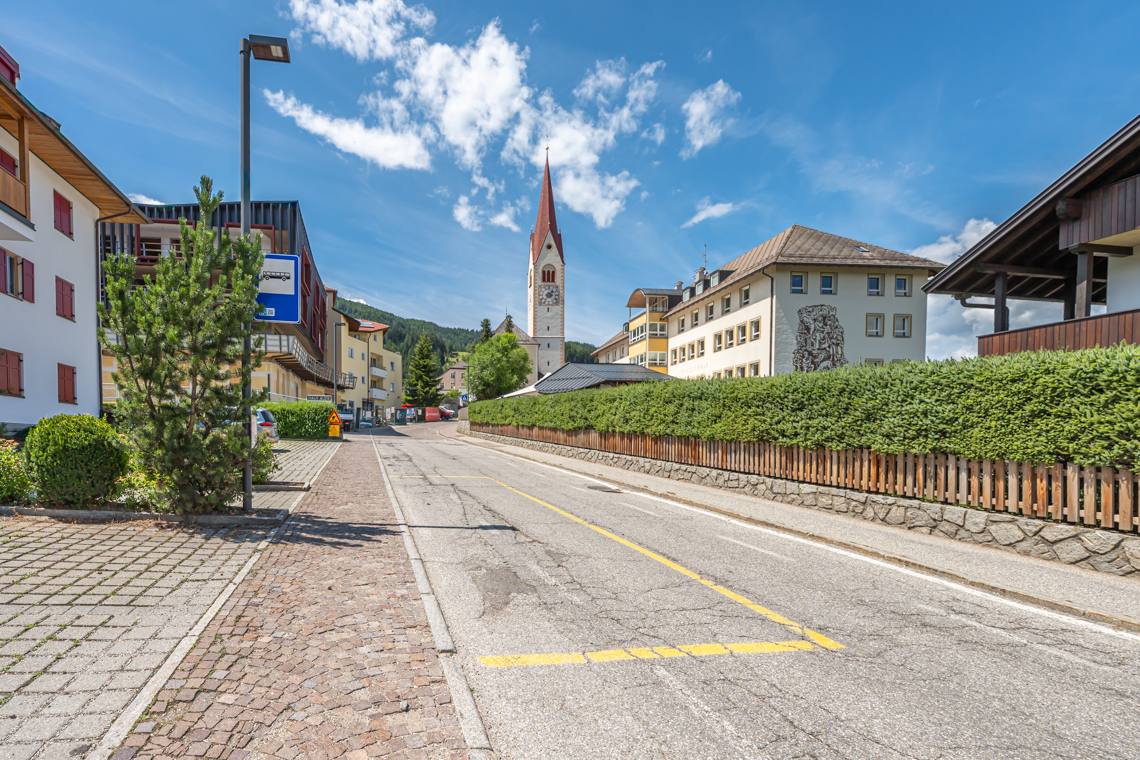
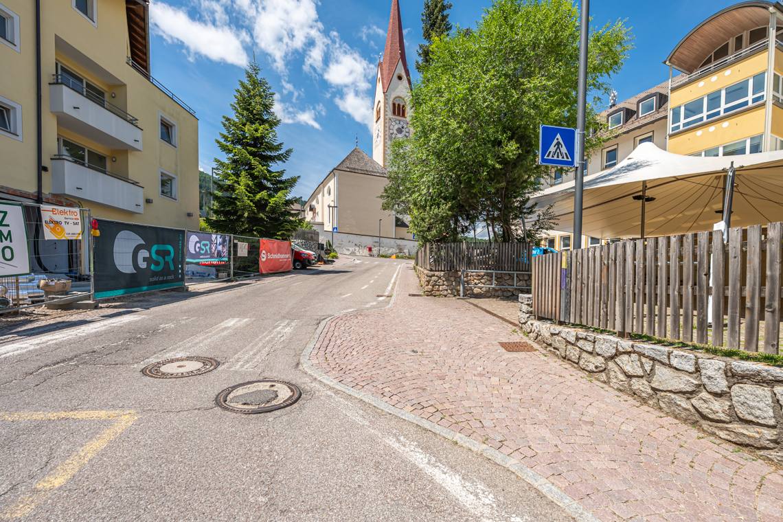
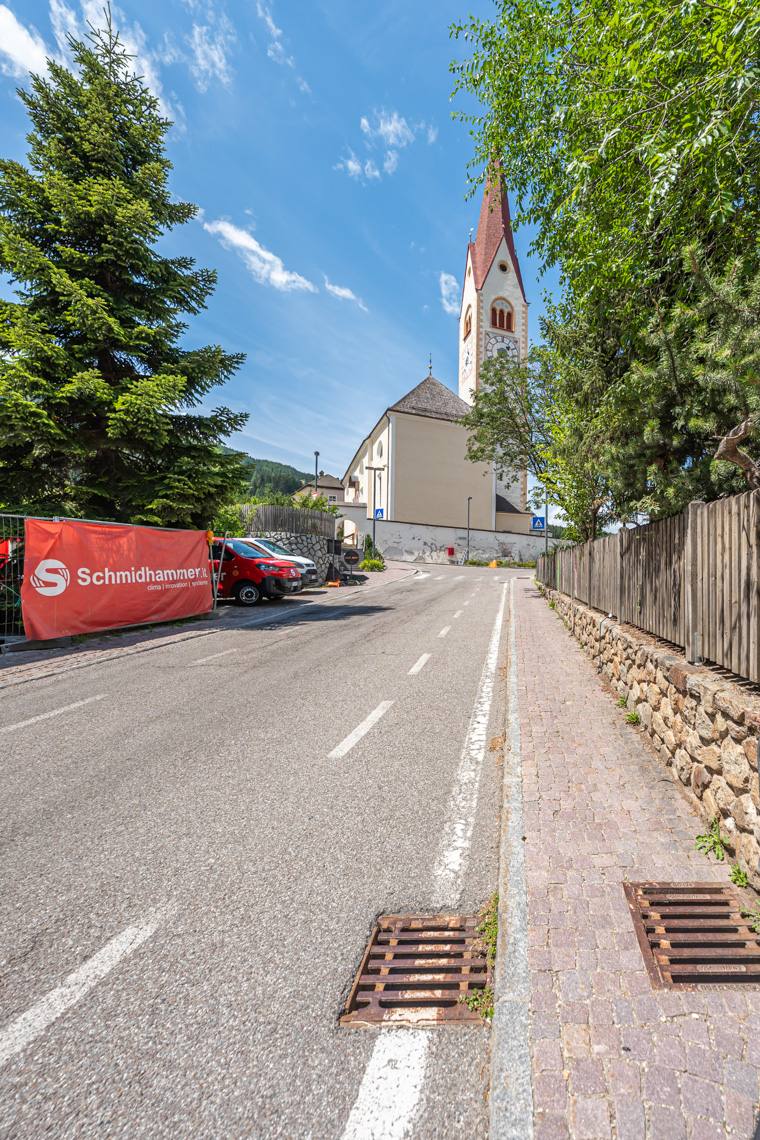
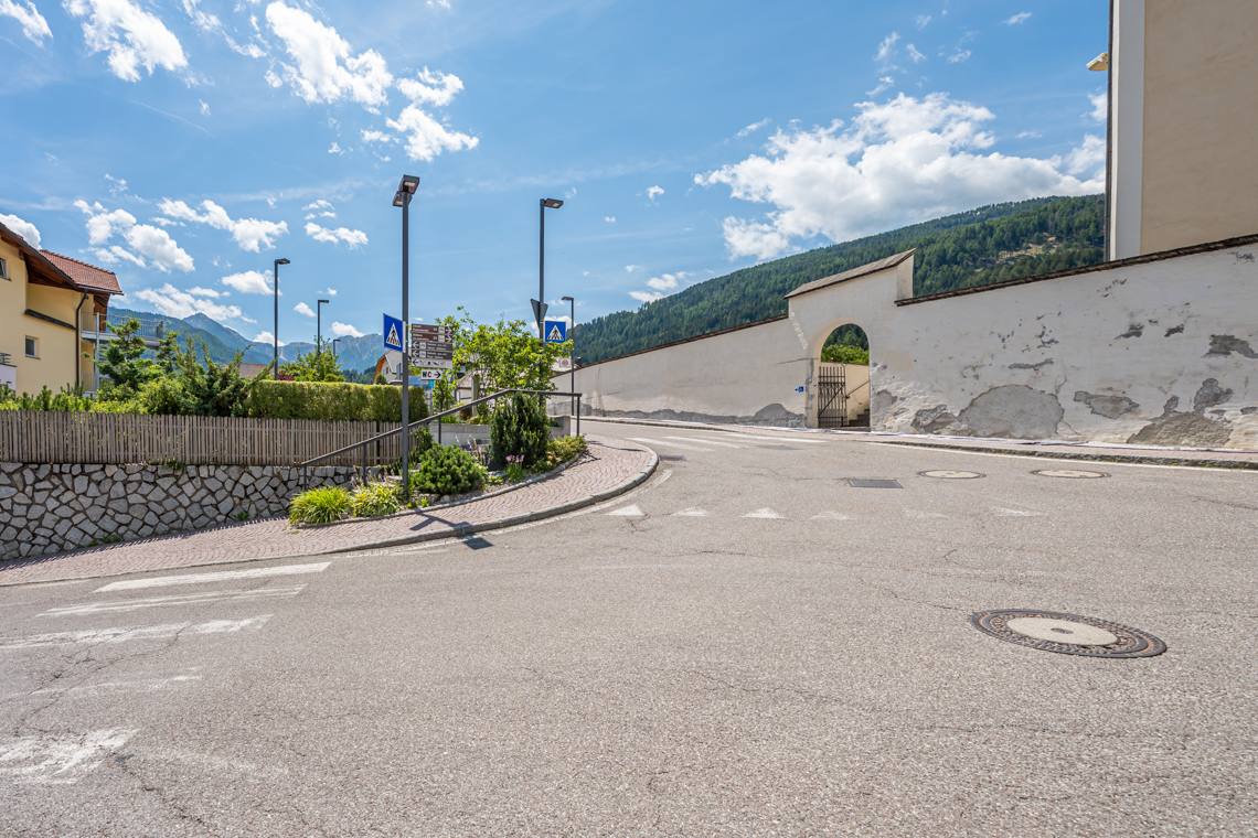
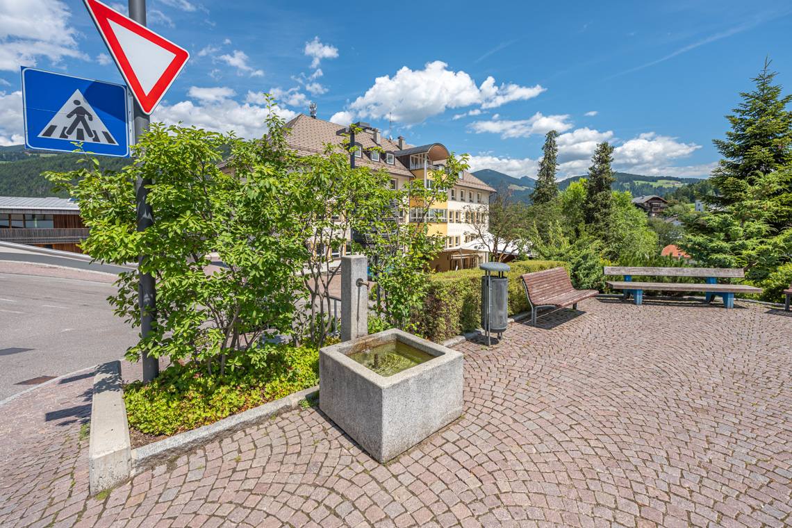
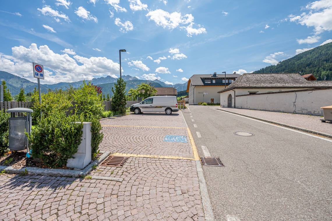
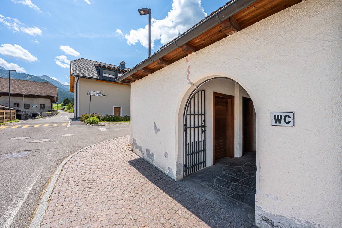
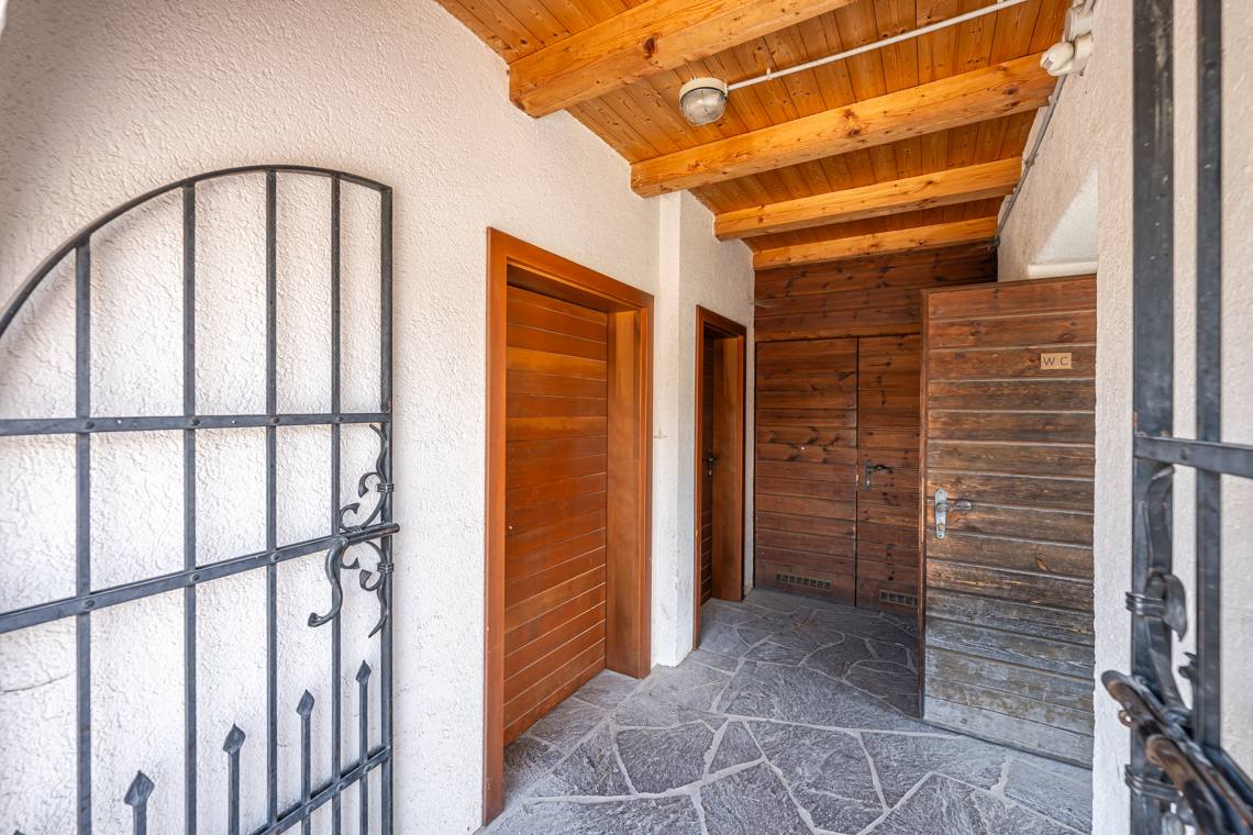
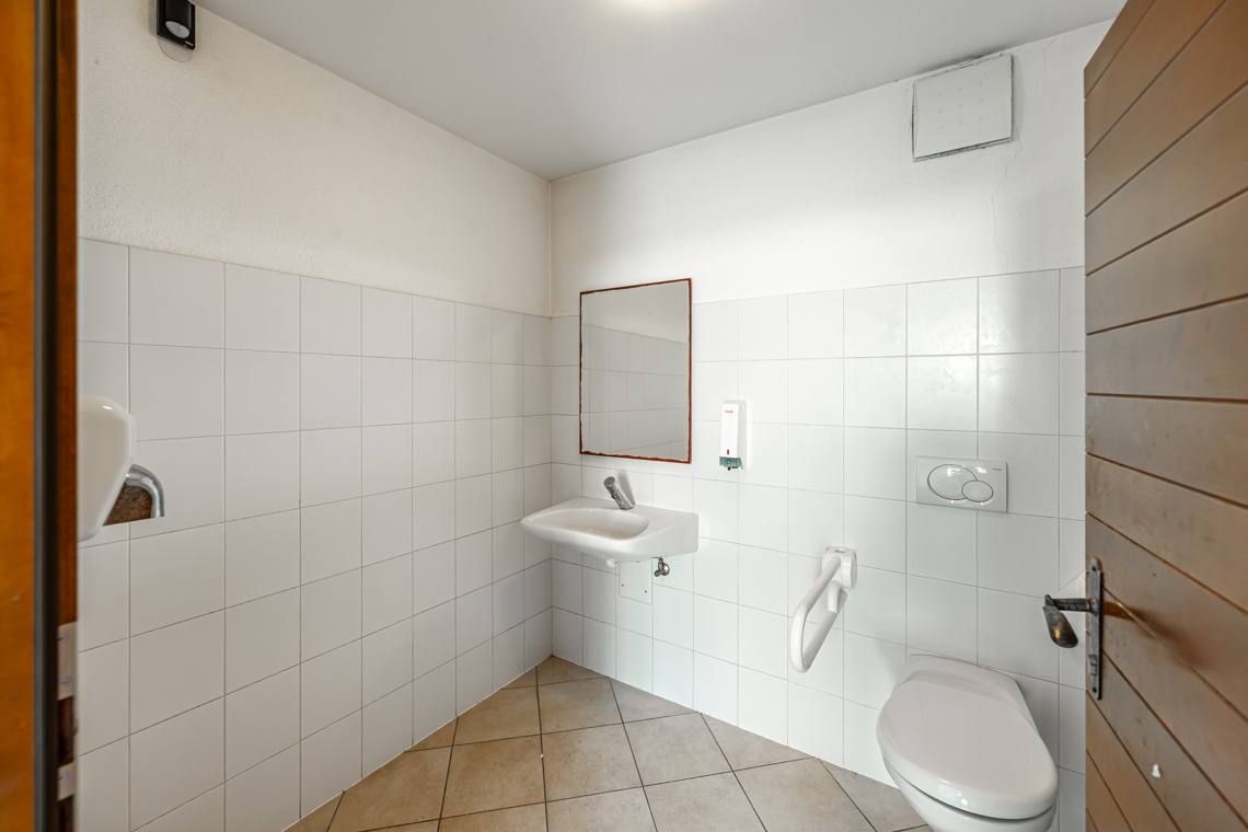
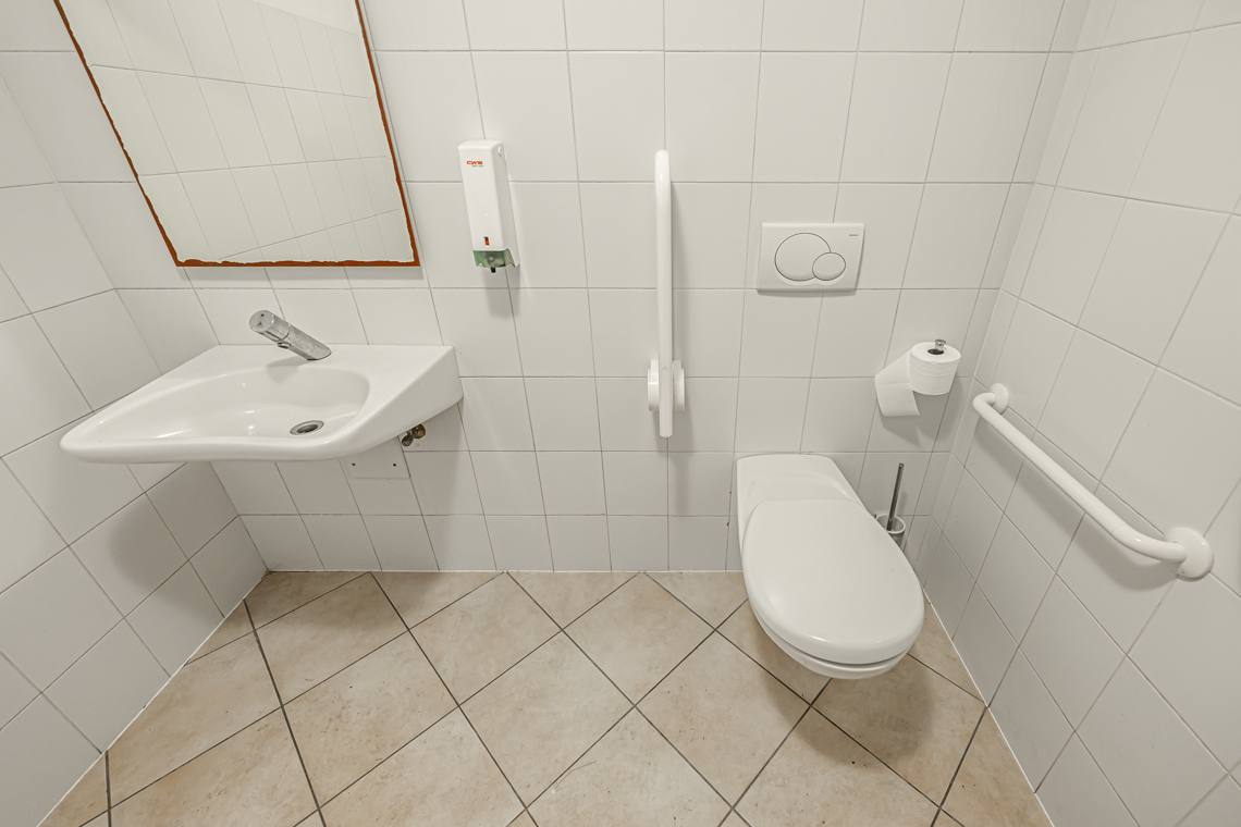
This 7.2 km loop trail starts at the Church of Valdaora di Sotto (Niederolang), where you will find a parking lot with a reserved space for people with disabilities, benches, a water fountain, and an accessible public restroom (100 cm door width, grab bars, and lateral transfer space).
Urban Section and Climb Towards Gassl
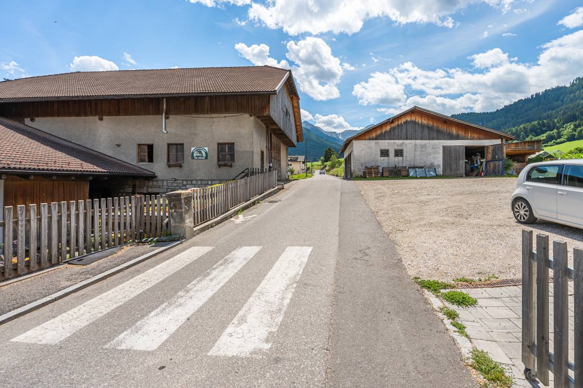
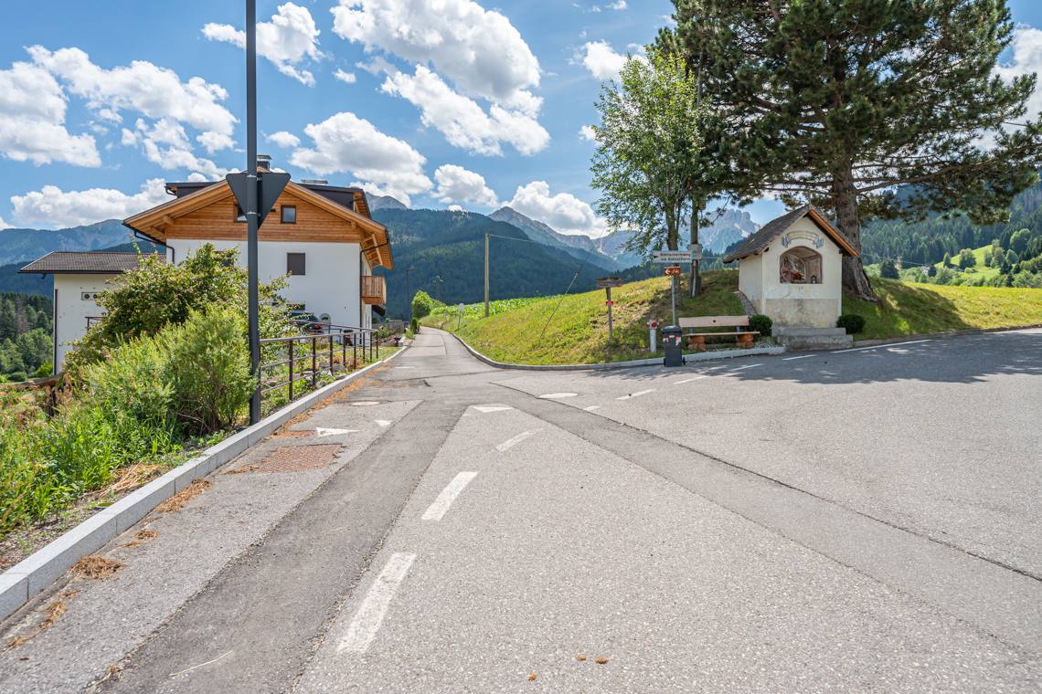
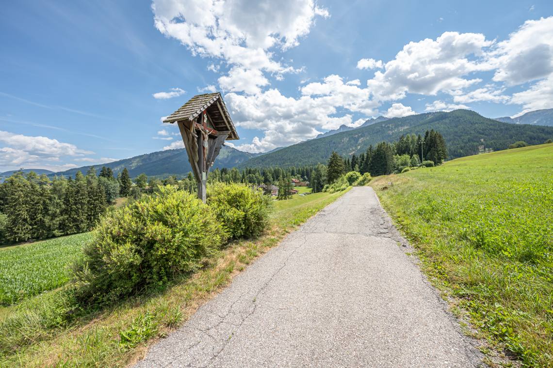
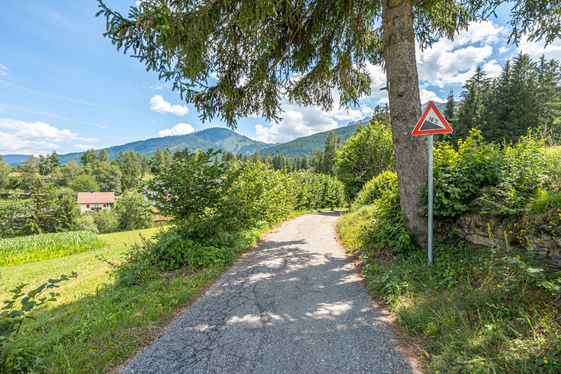
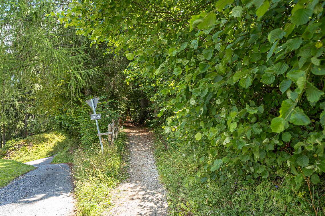
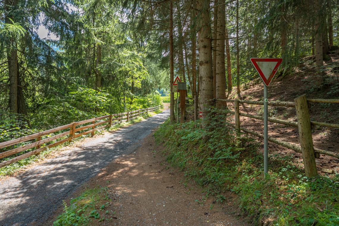
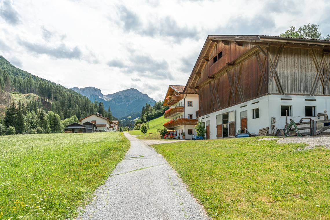
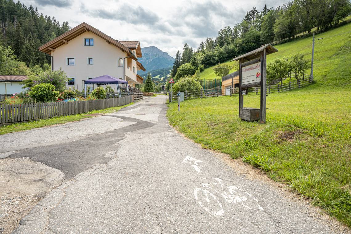
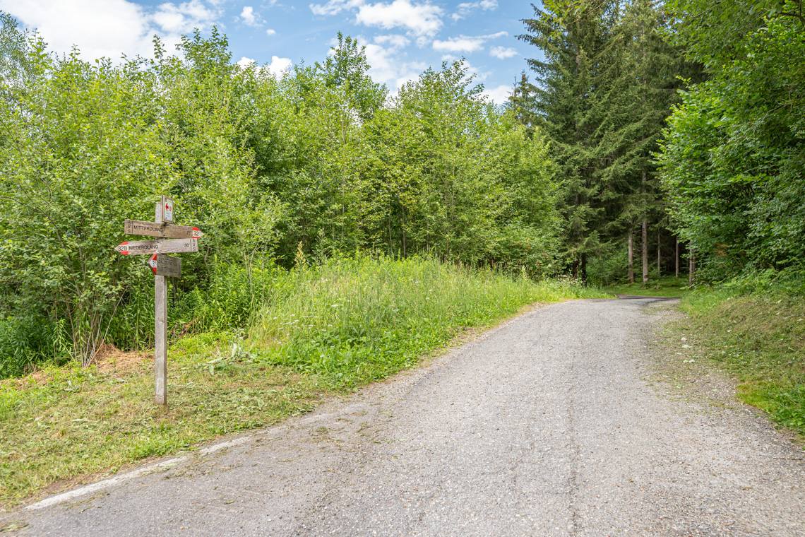
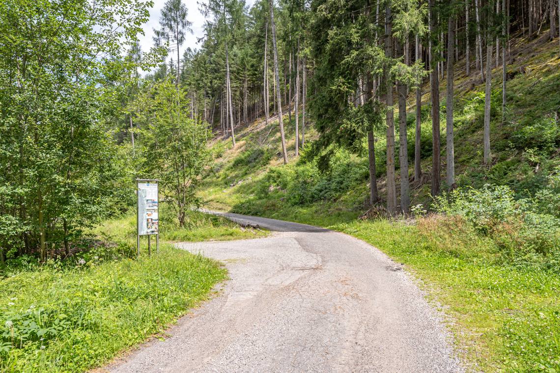
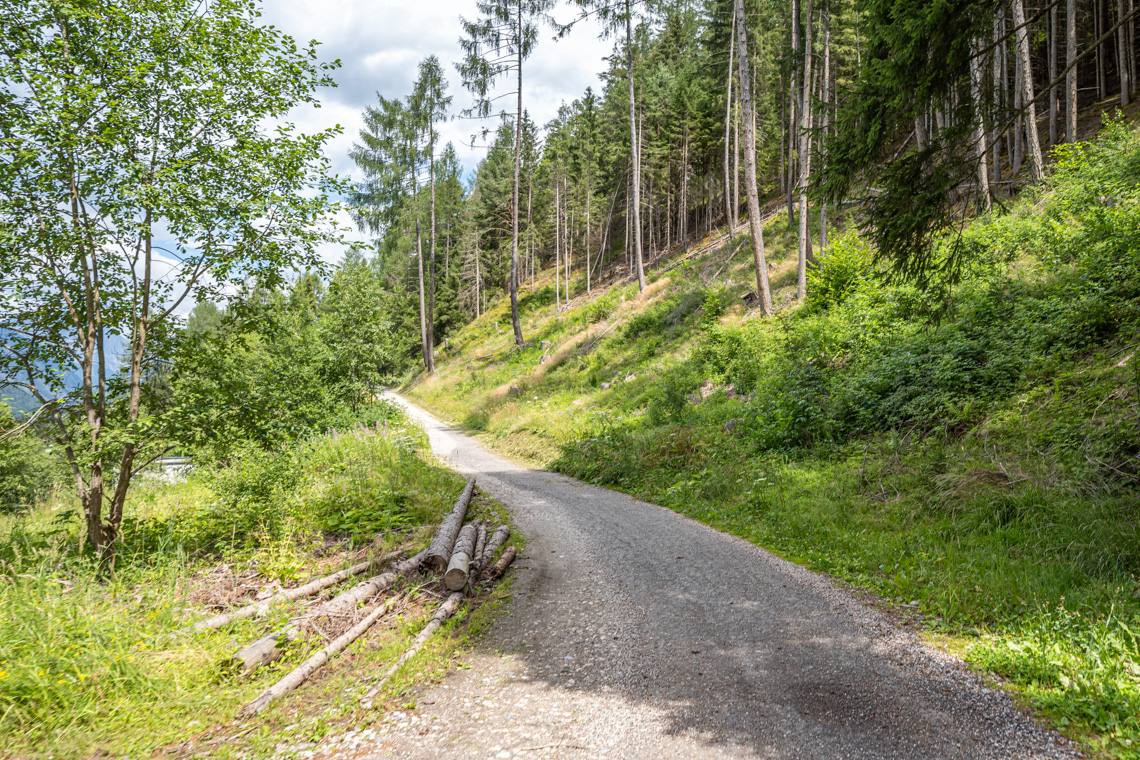
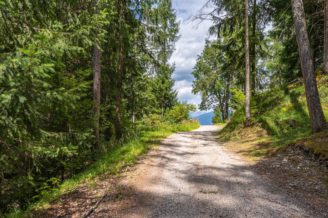
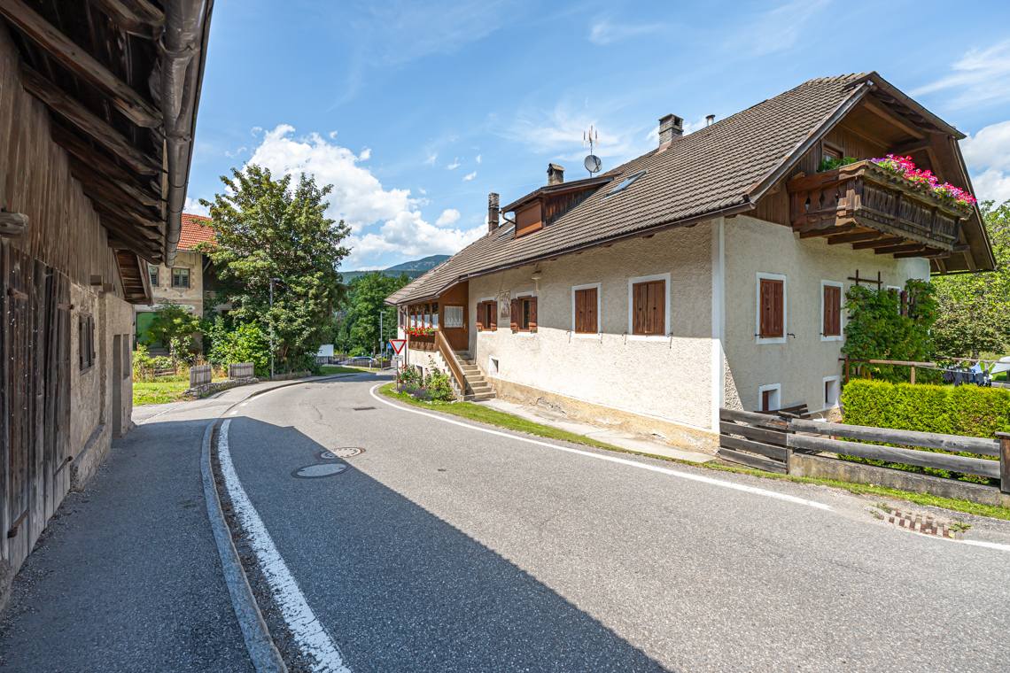
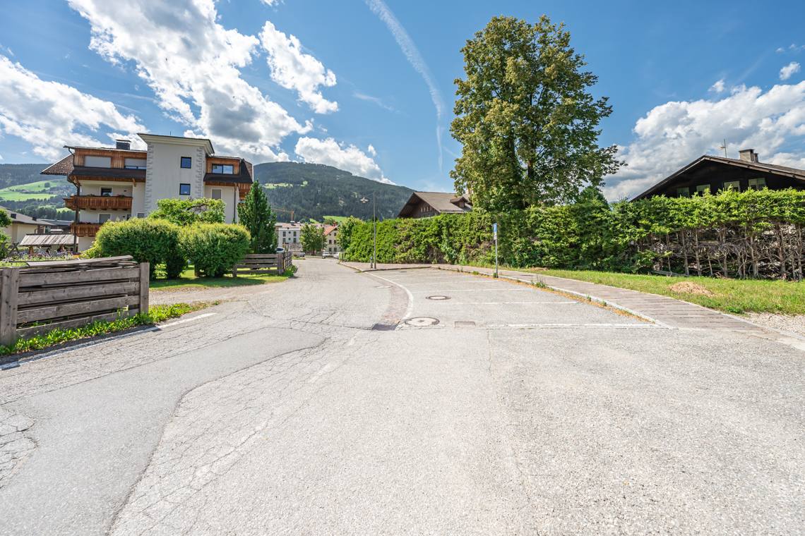
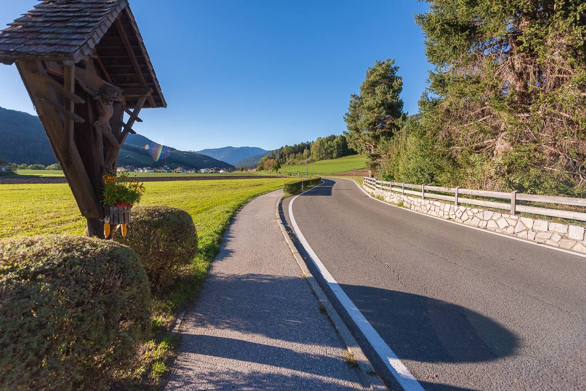
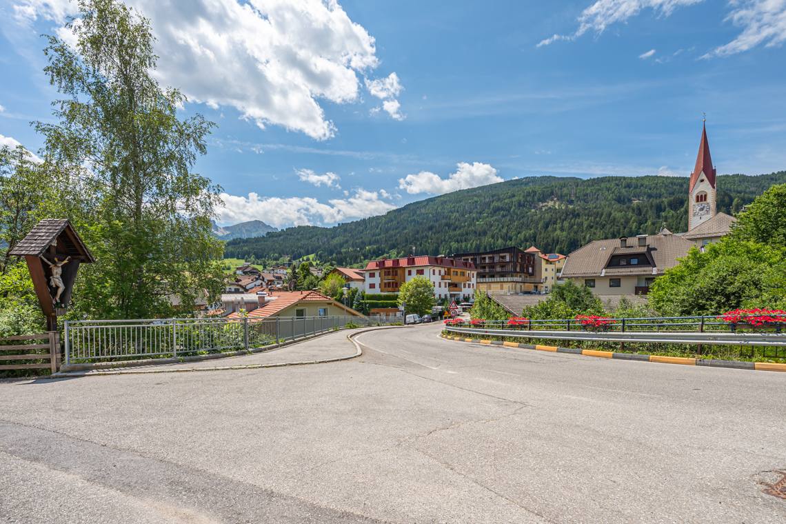
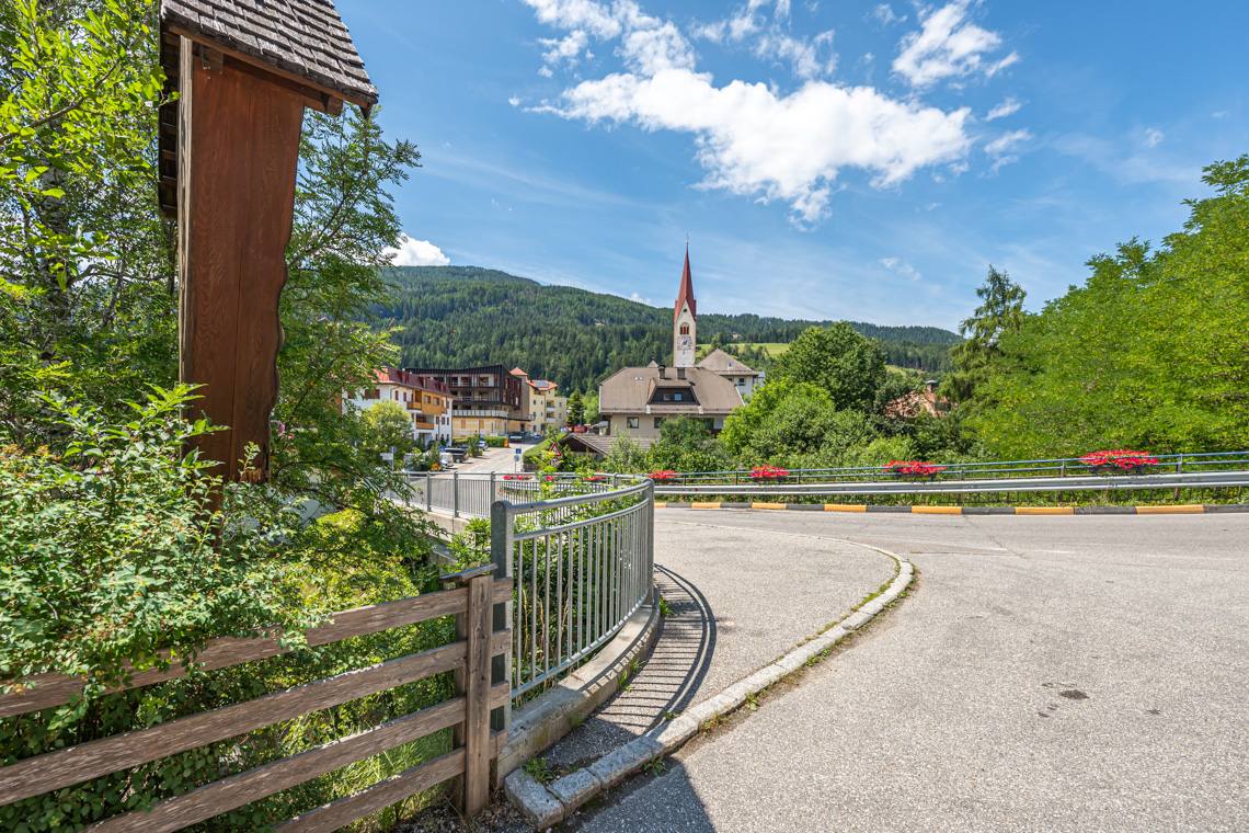
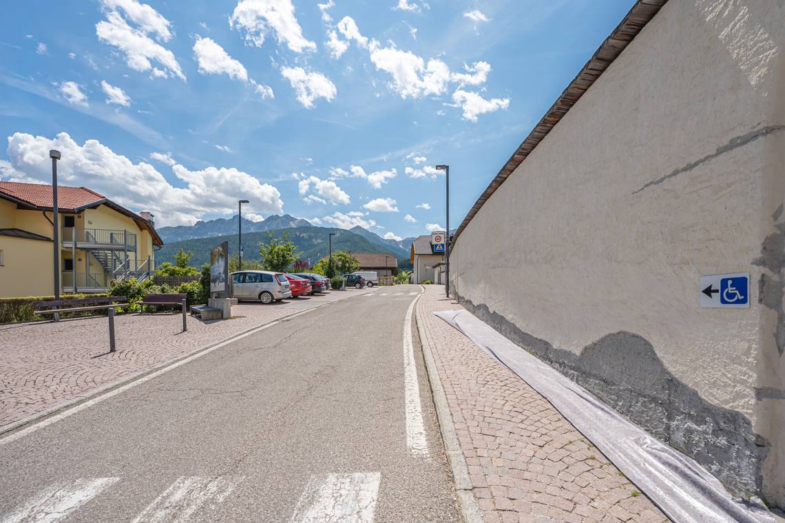
The itinerary begins immediately with a gentle, steady climb on a paved road: the incline does not feature extreme gradients but requires continuous effort, with slopes between 8% and 10%. Past a roadside cross with benches and a fine panoramic view, you reach a danger sign indicating a subsequent 16% steep section. It is possible to continue downhill on the steep asphalt or avoid this slope by taking a dirt shortcut on the right through the woods, which reconnects to the paved road that continues uphill to several high-altitude farms (including the Mittermühlbacher Hof).
Road Crossing and Return Towards Valdaora di Sopra
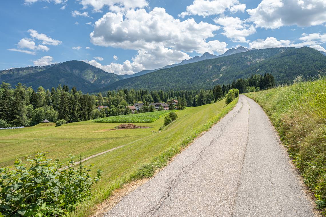
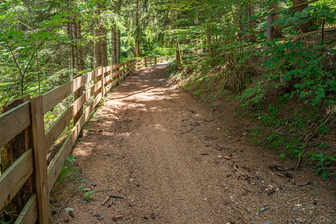
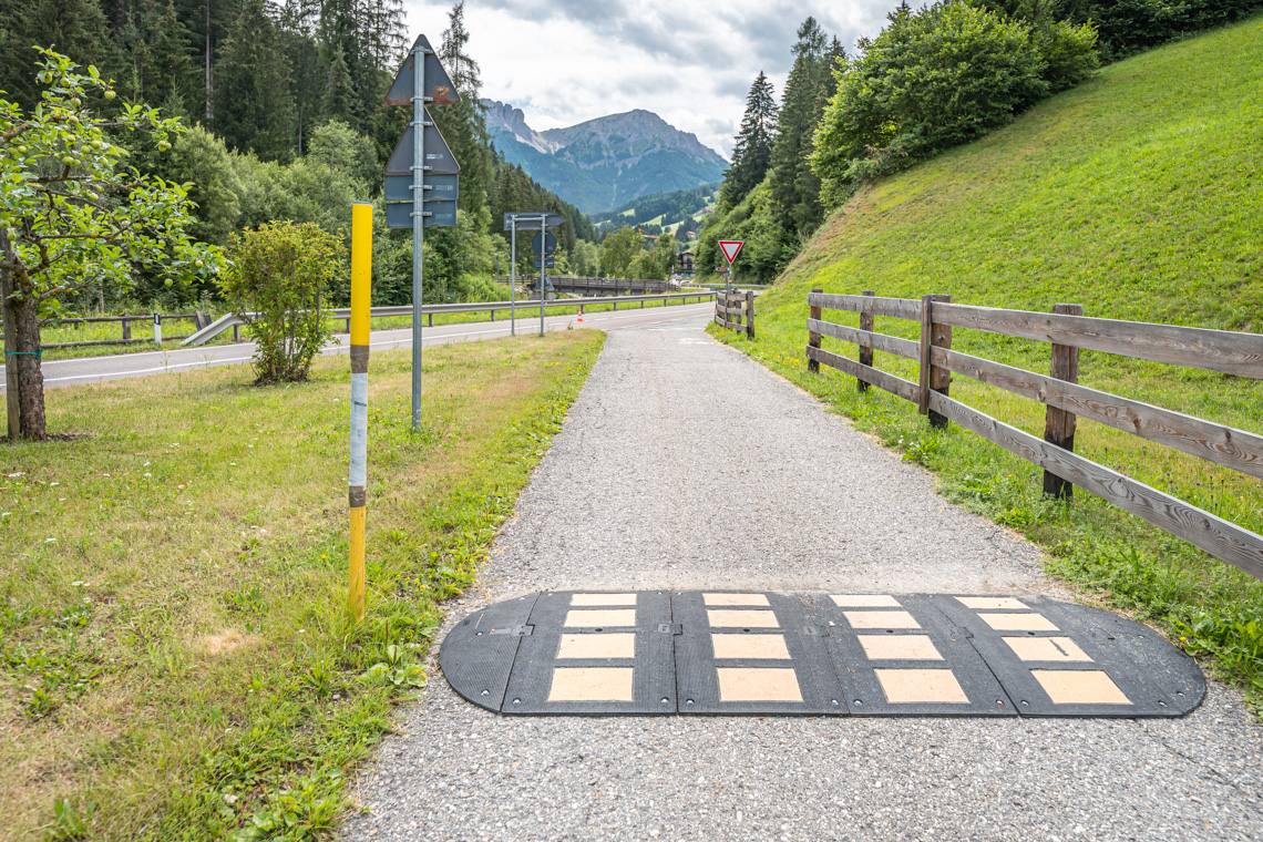
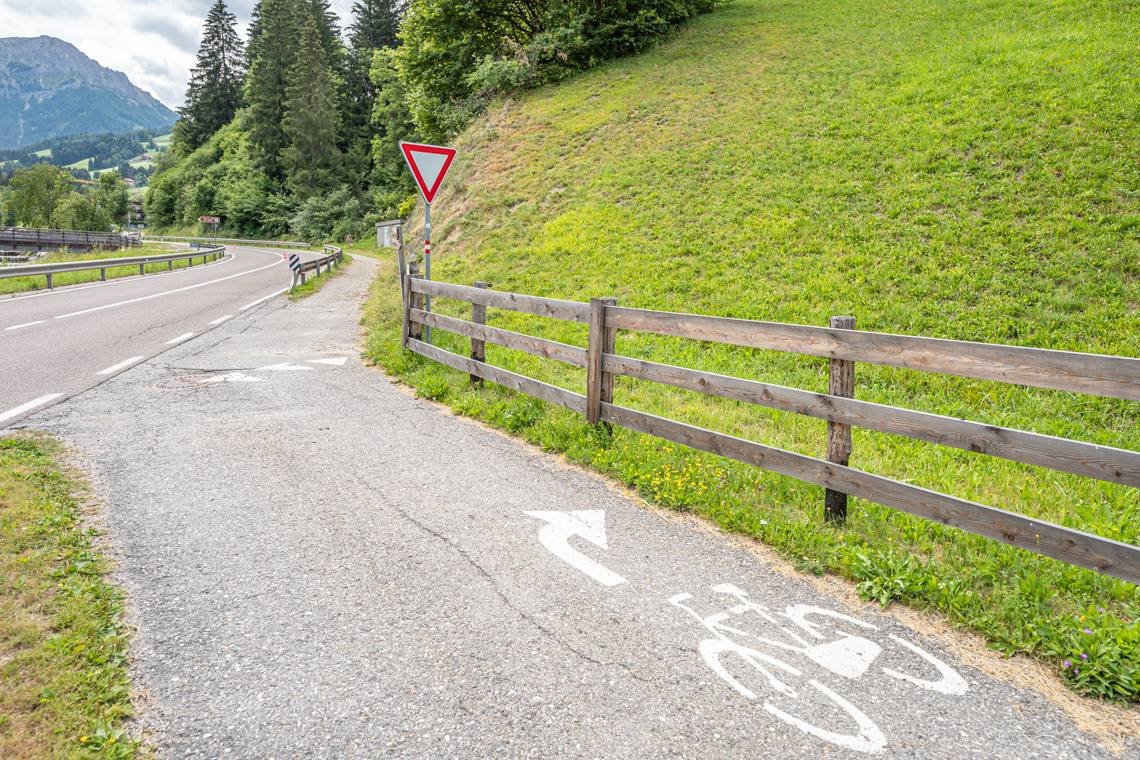
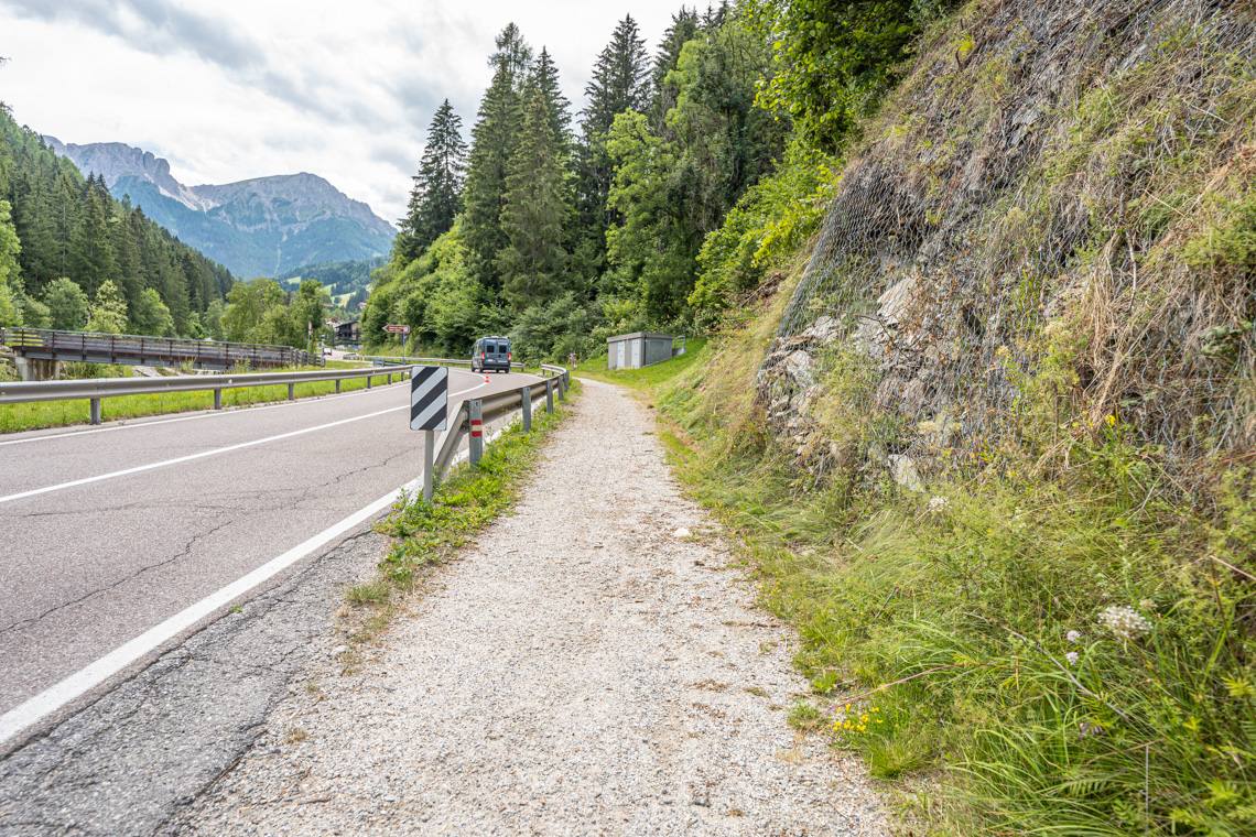
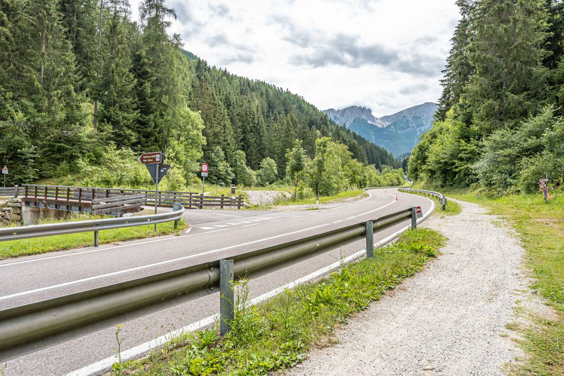
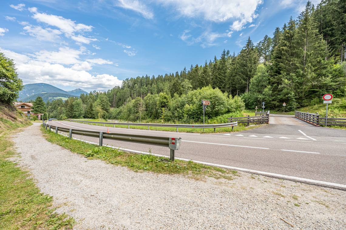
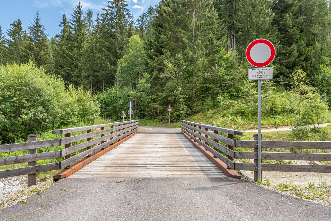
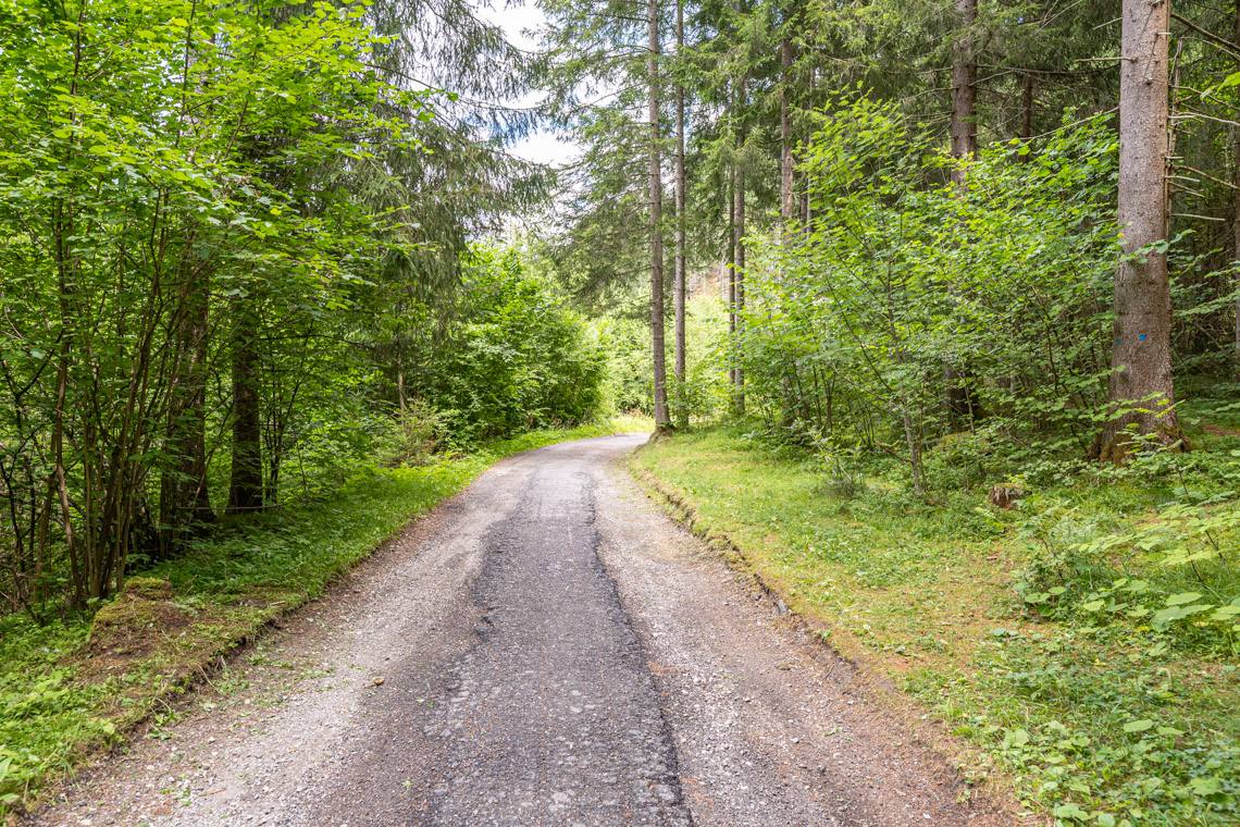
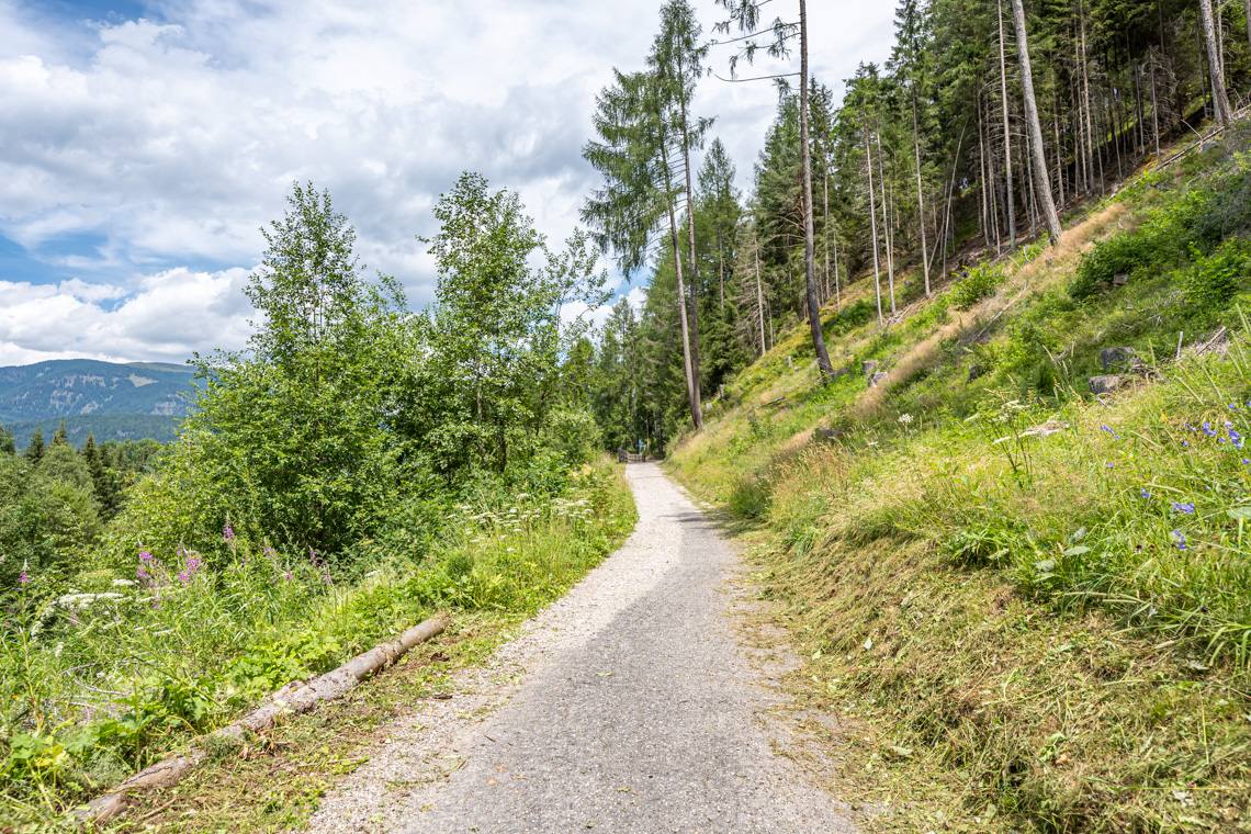
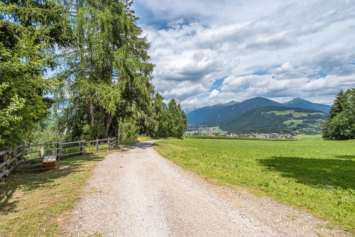
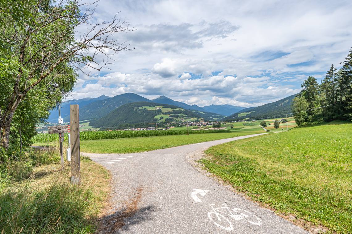
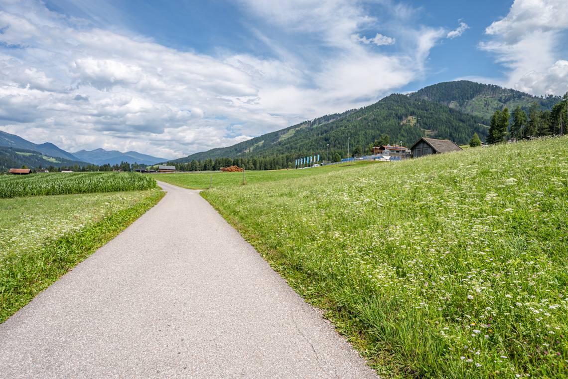
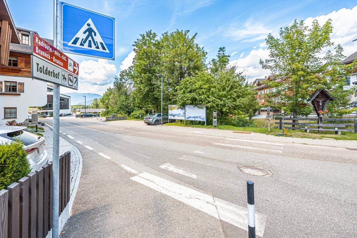
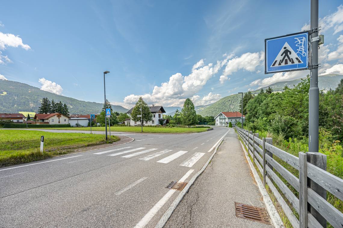
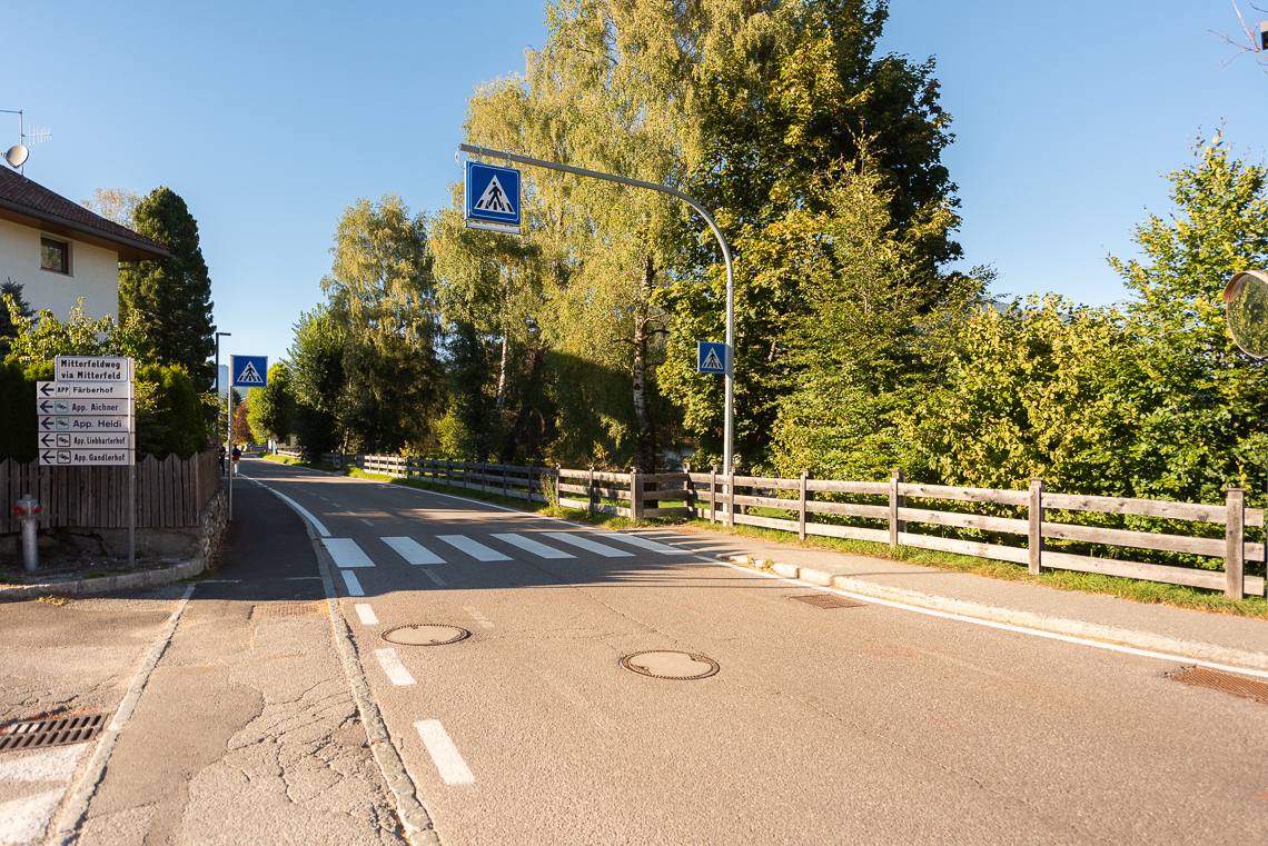
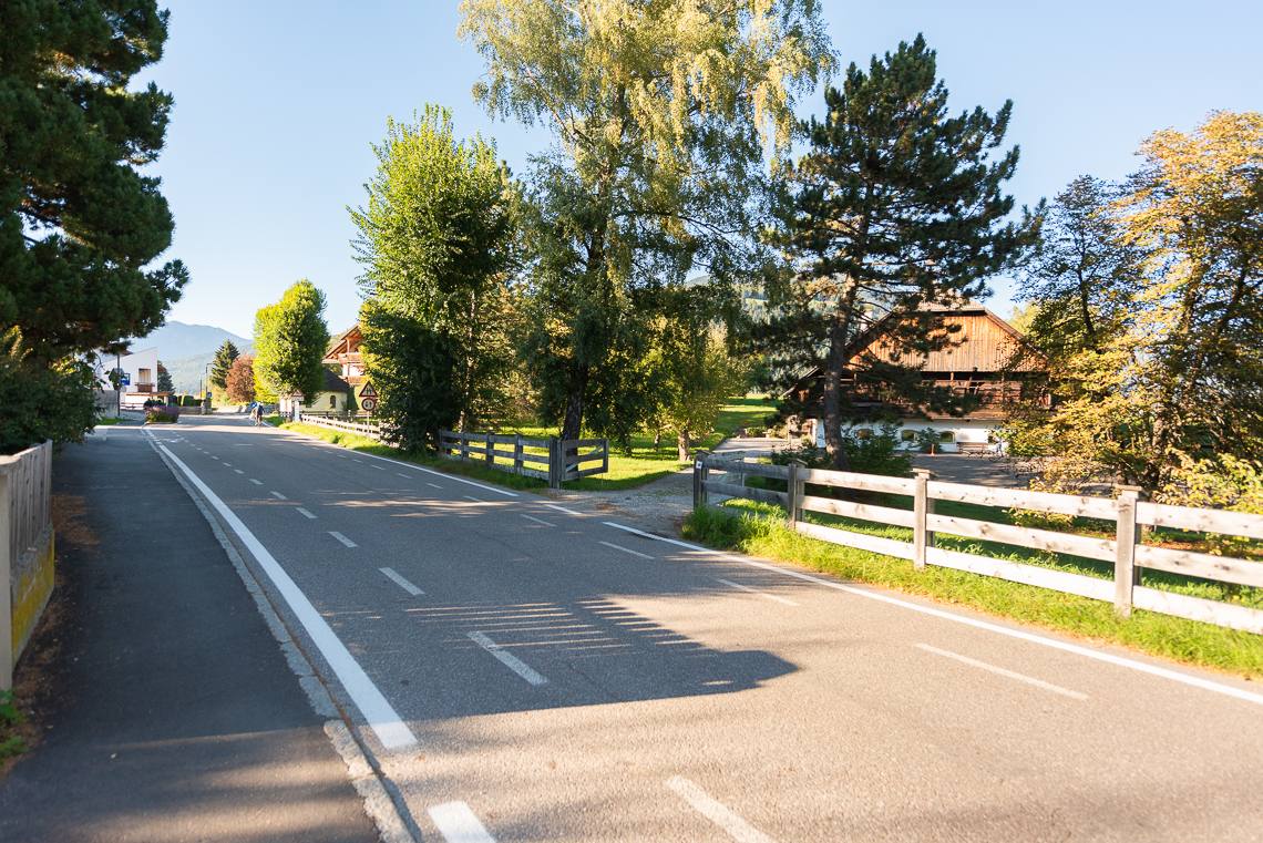
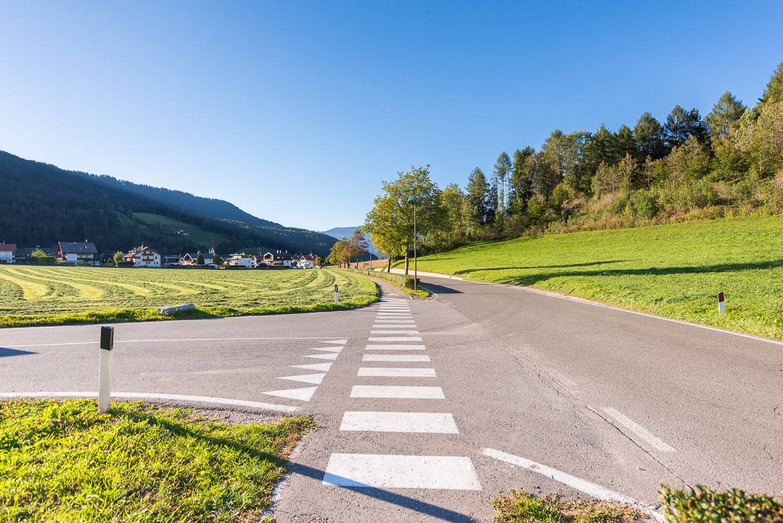
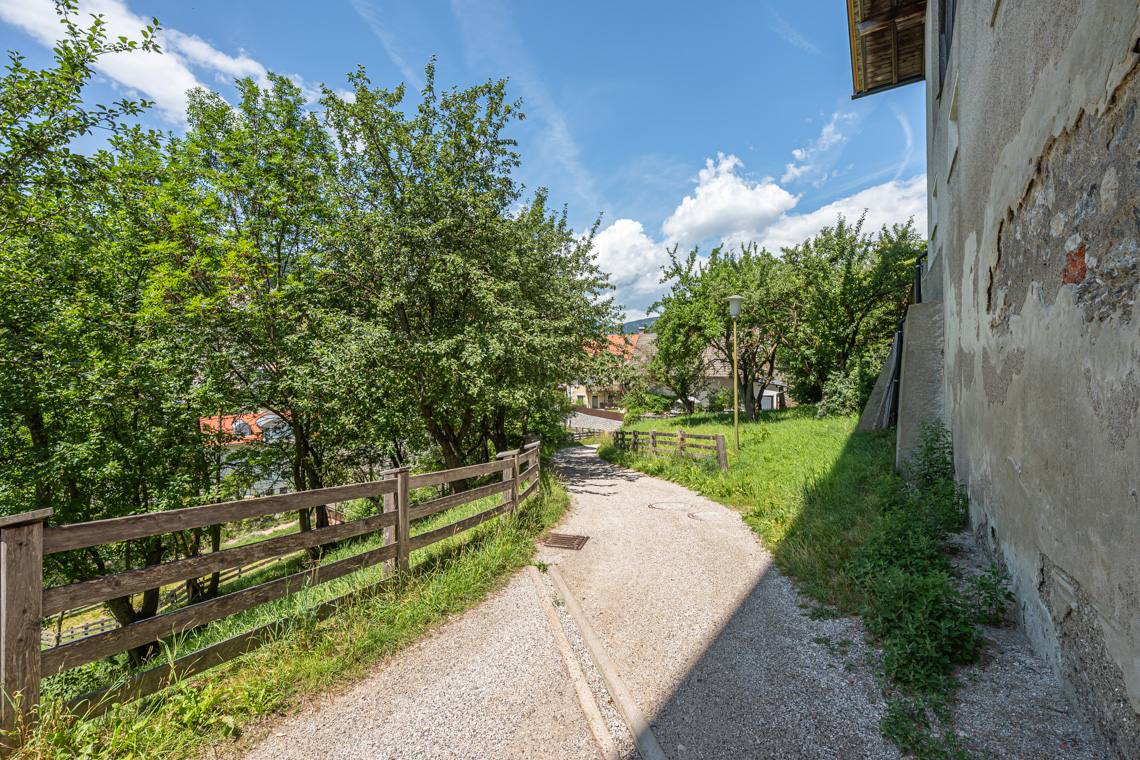
Upon reaching the Passo Furcia main road, you follow it along a short gravel stretch. Here you encounter a point requiring utmost caution: the road crossing to enter the cycle path is un-signposted and lacks a pedestrian crossing. After crossing the bridge over the Brunsbach river, you join trail 32 on a gentle descent, before continuing uphill markedly on a dirt surface with drainage channels (11-13% gradient). At the top of the climb, you can rest and enjoy the scenery opening up over the meadows towards Valdaora di Sopra.
Valdaora di Sopra and Valdaora di Mezzo
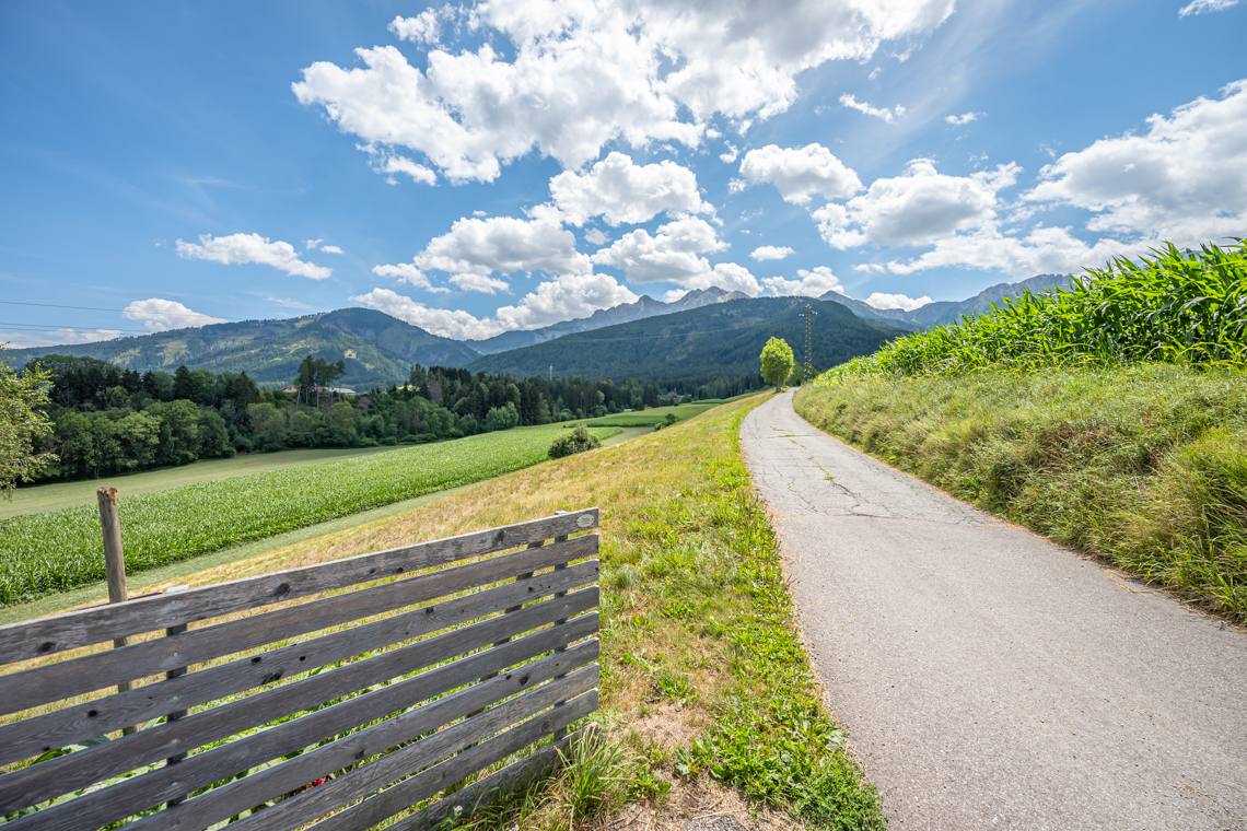
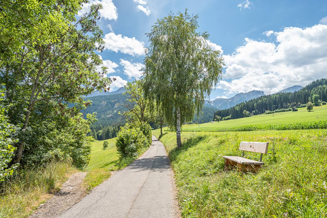
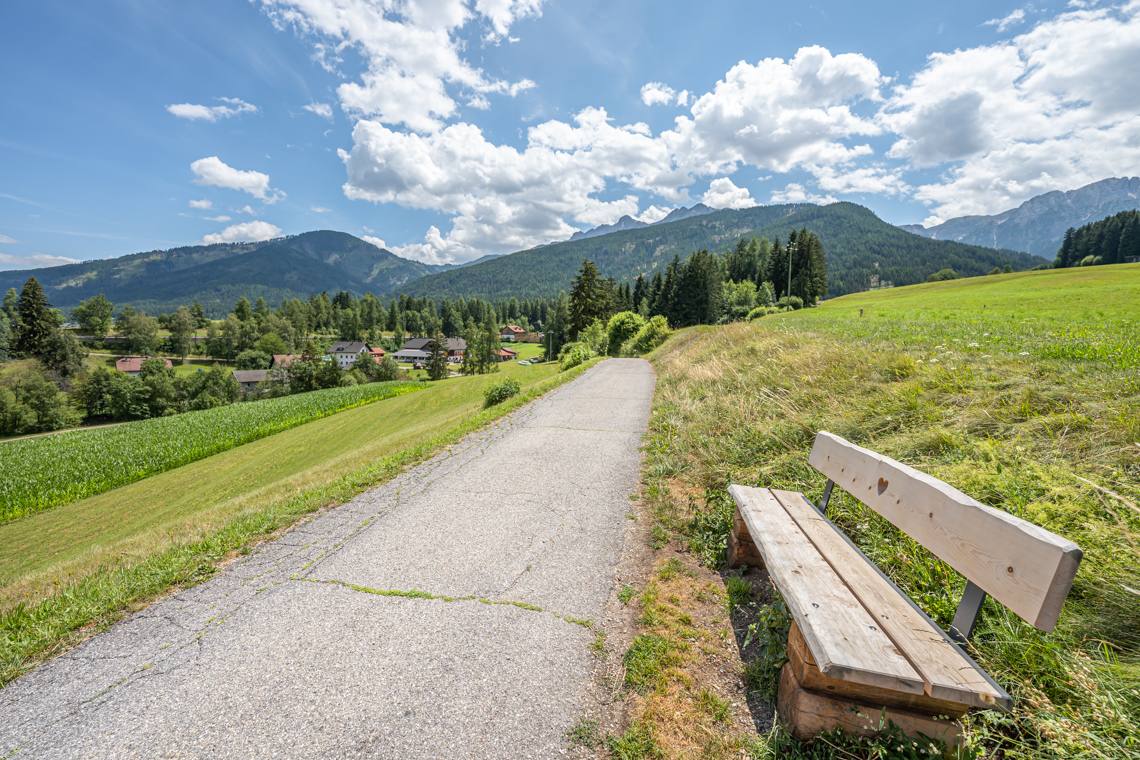
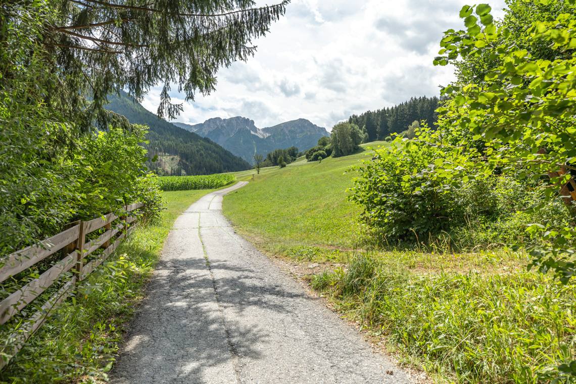
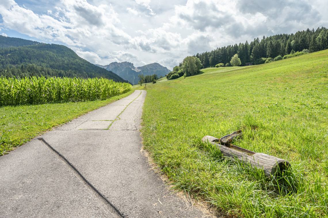
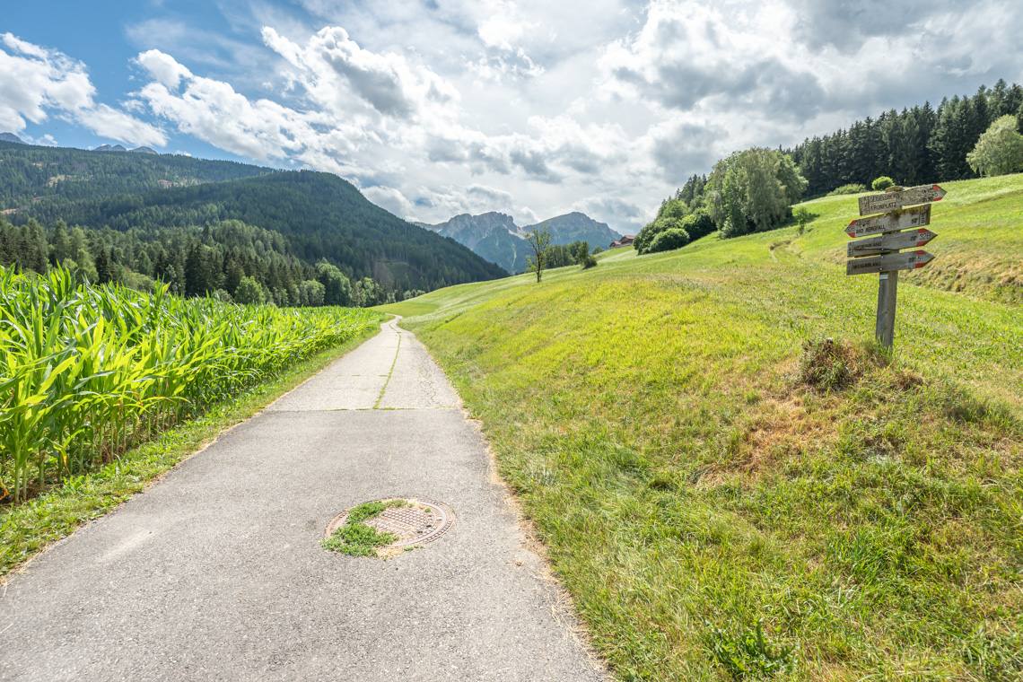
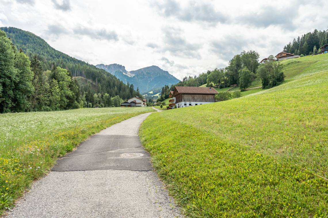
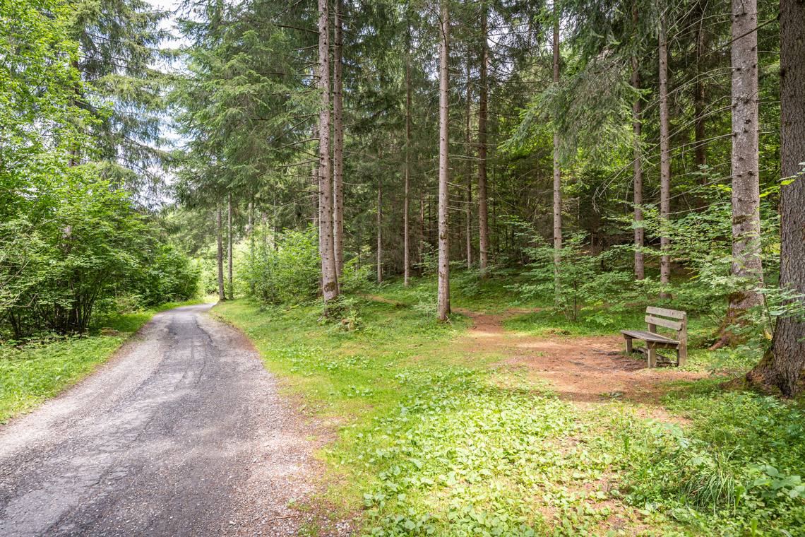
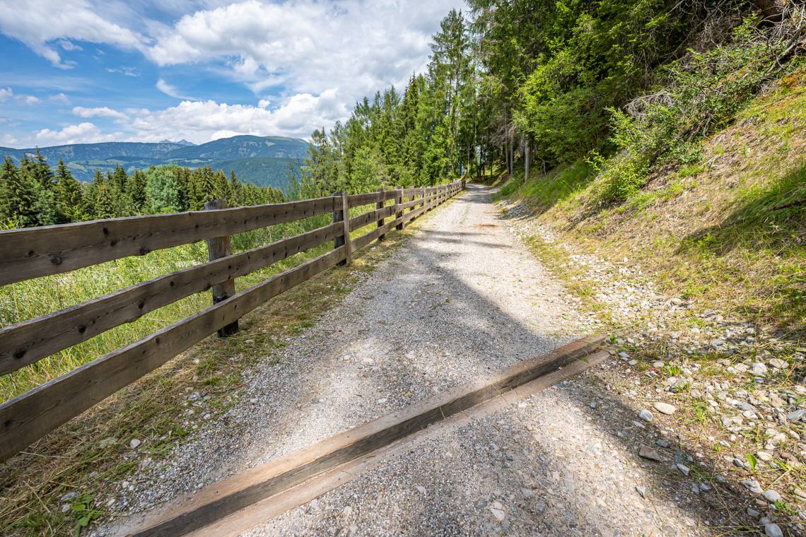
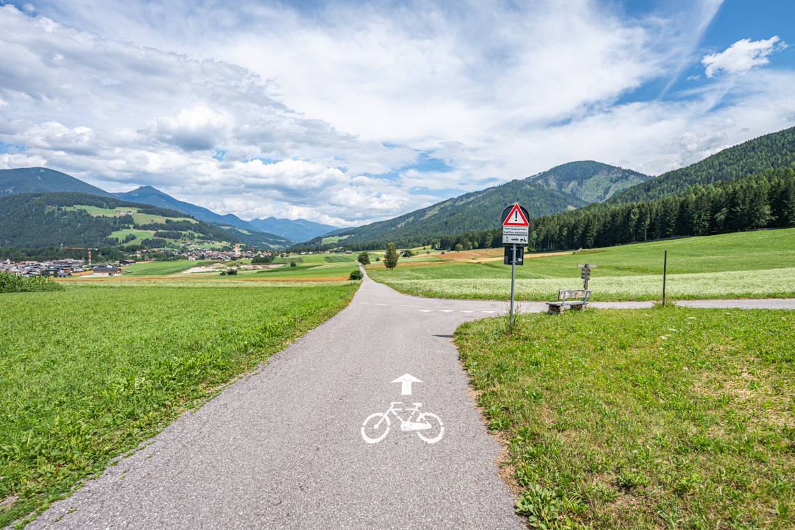
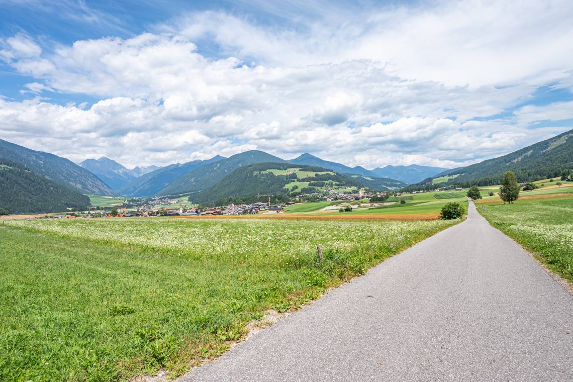
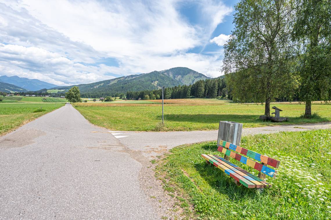
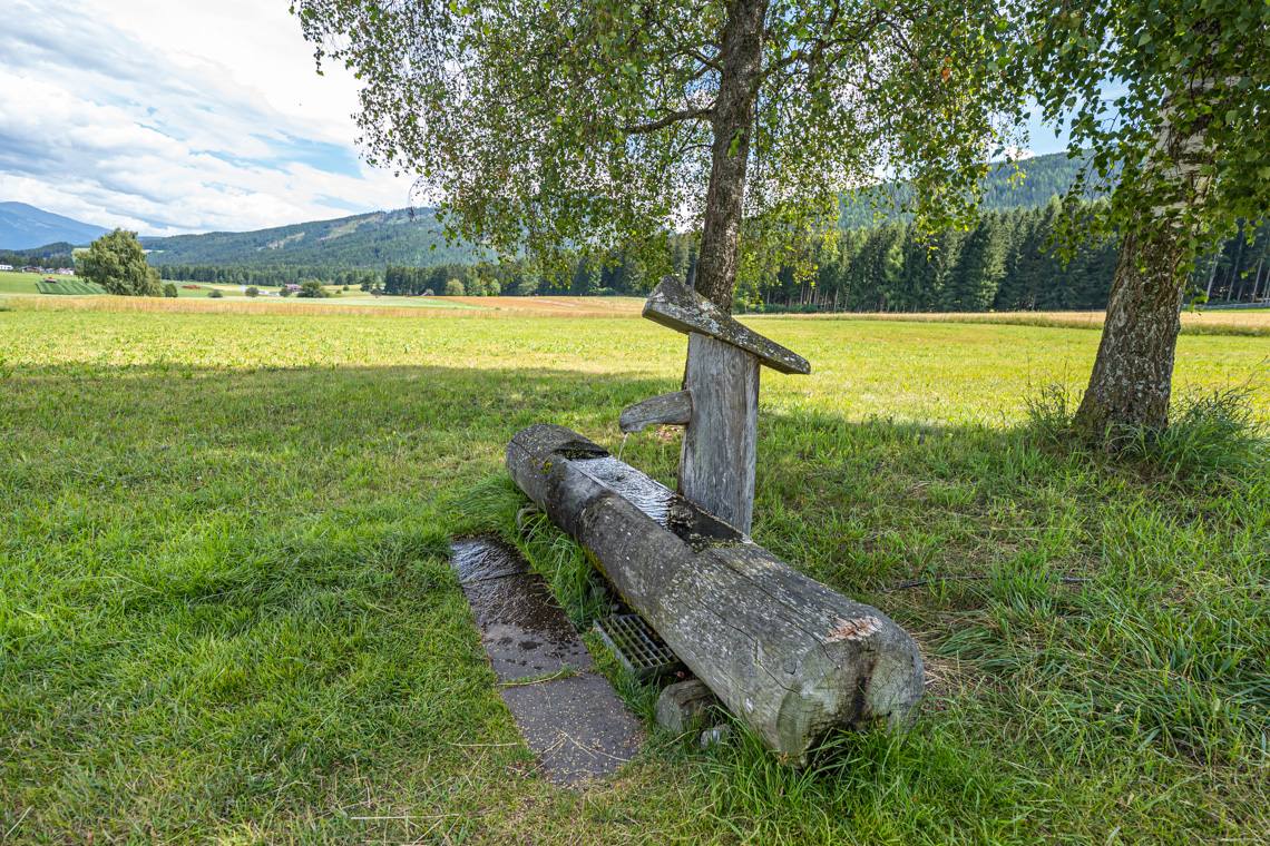
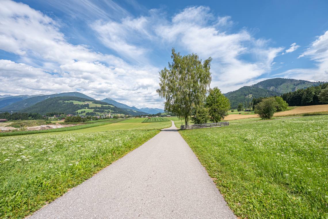
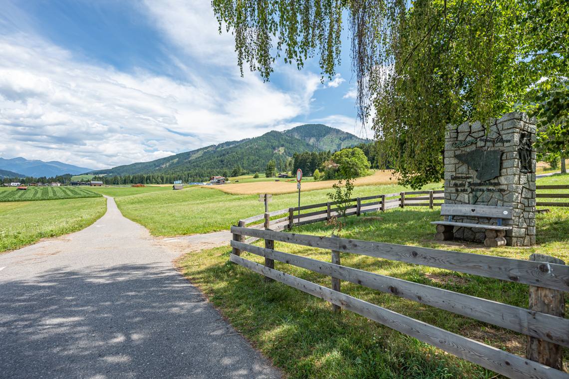
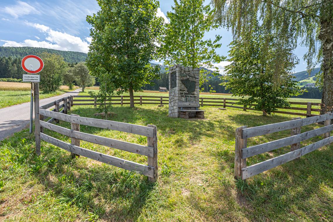
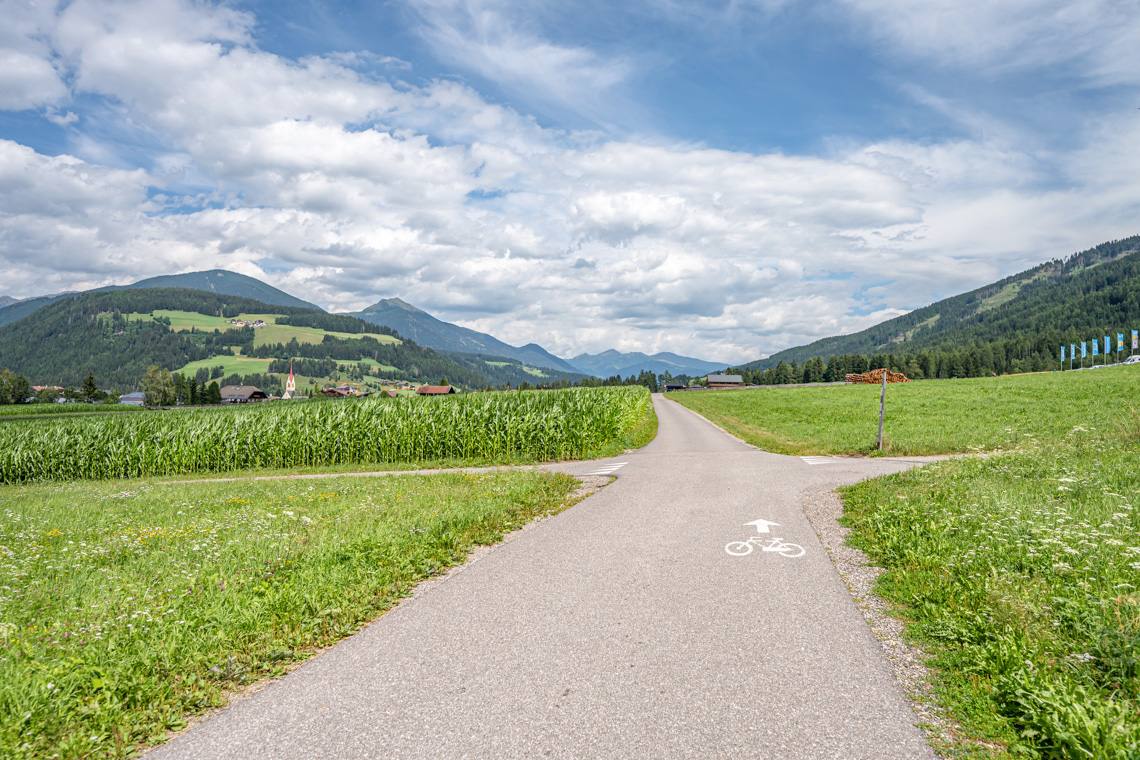
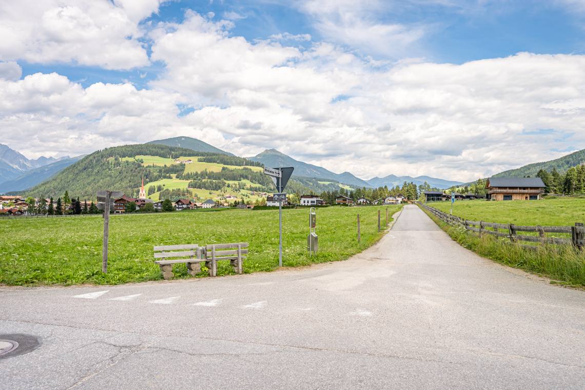
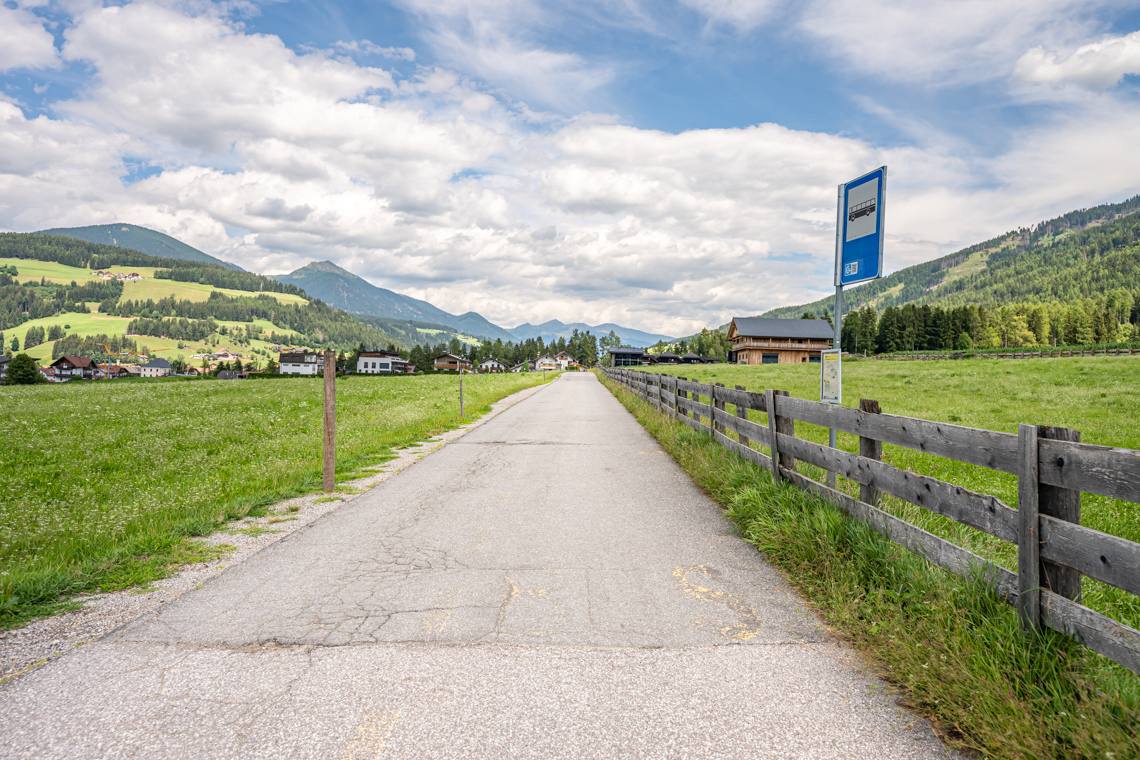
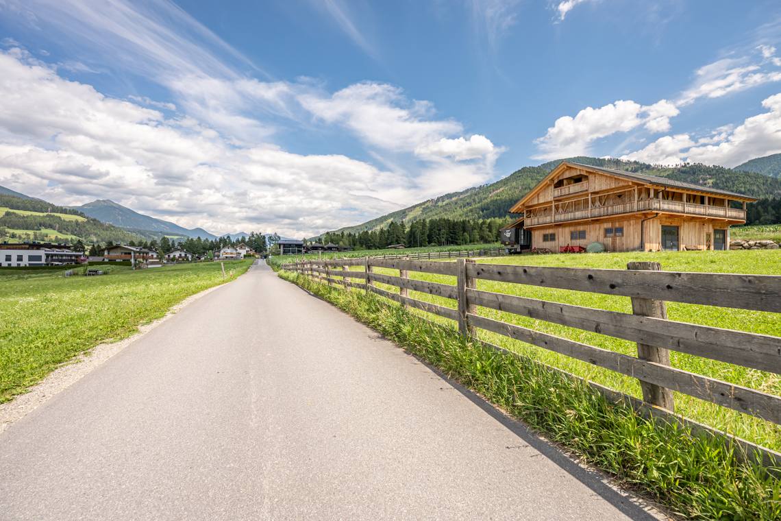
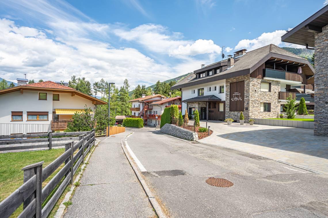
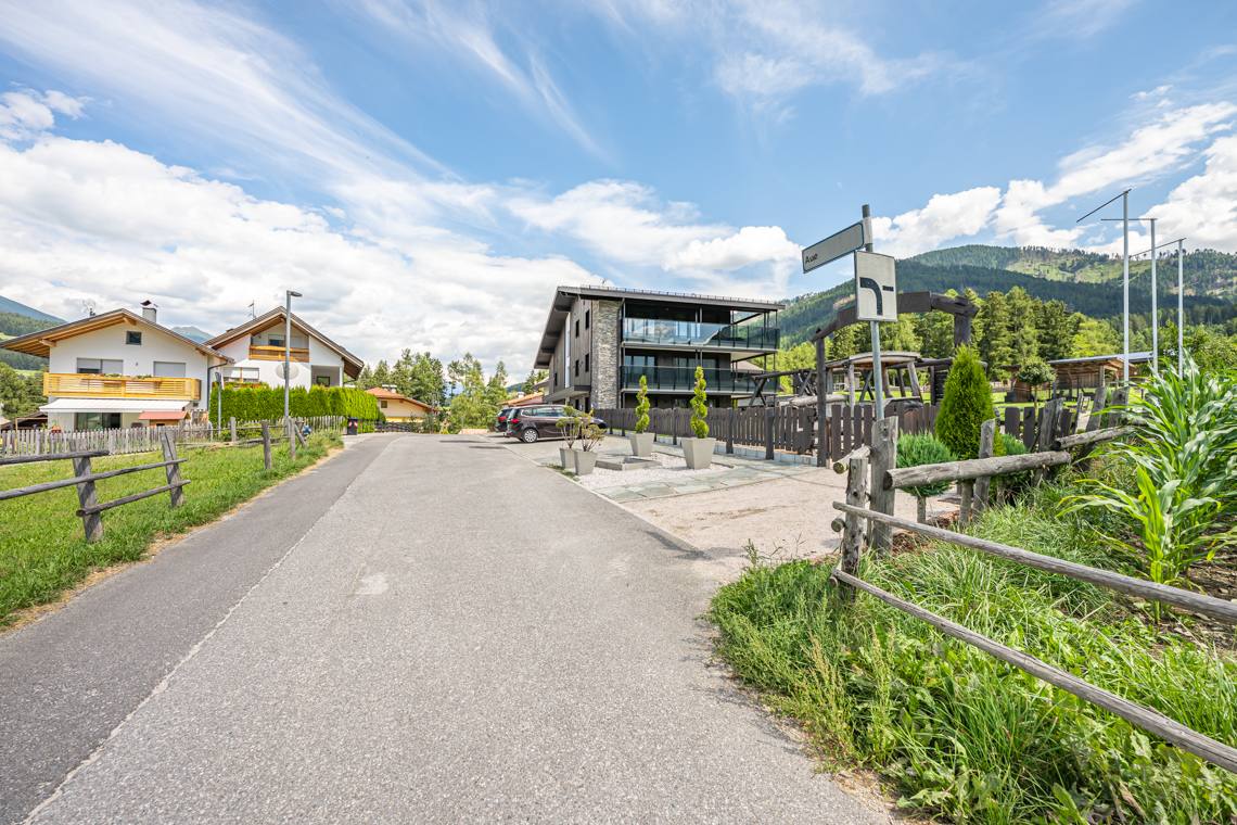
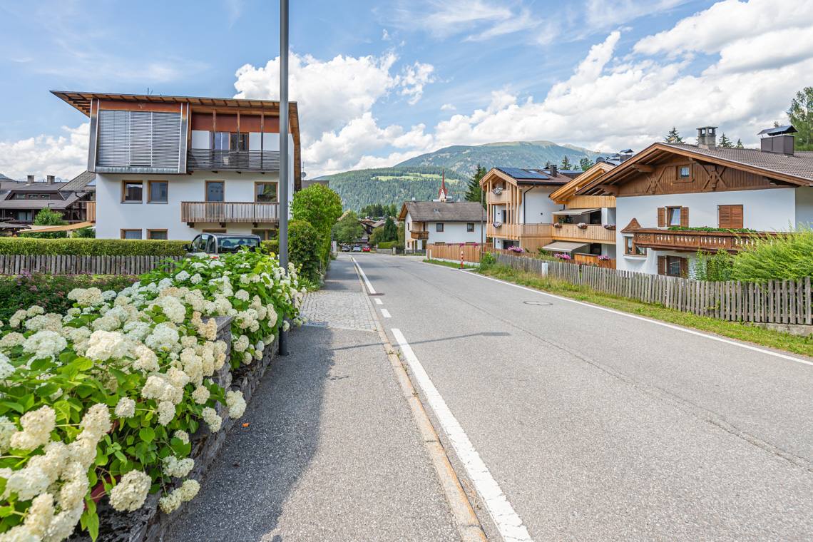
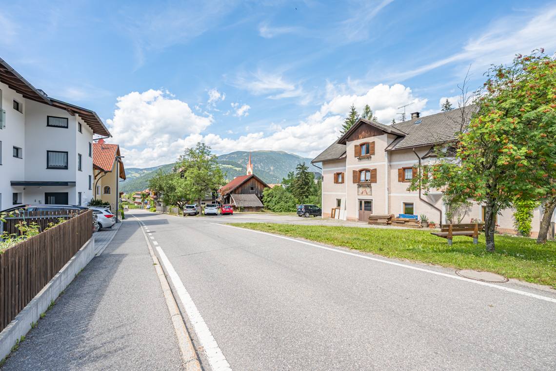
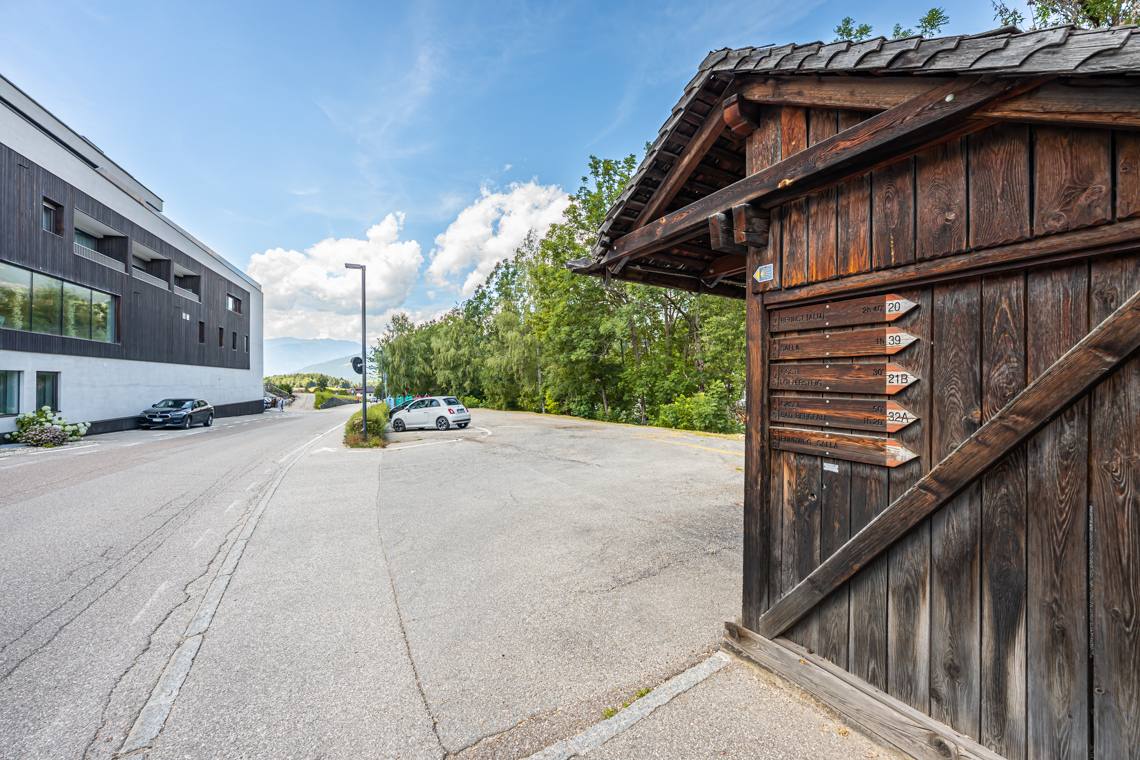
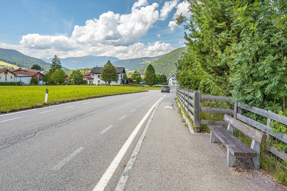
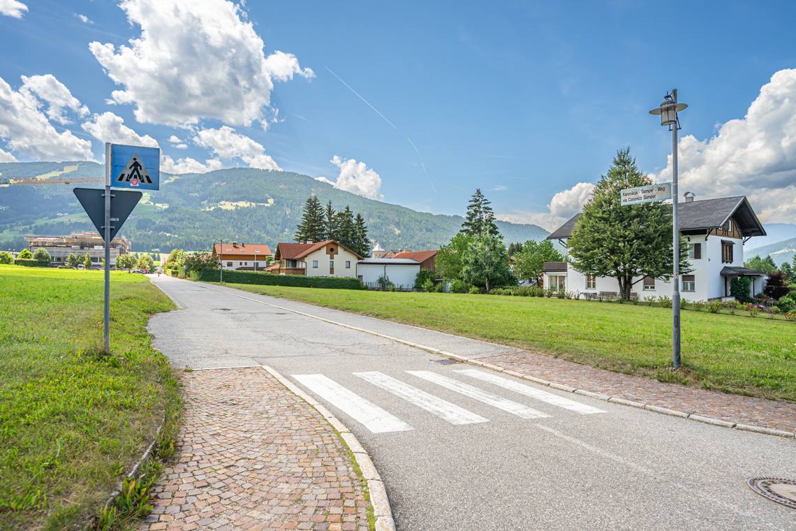
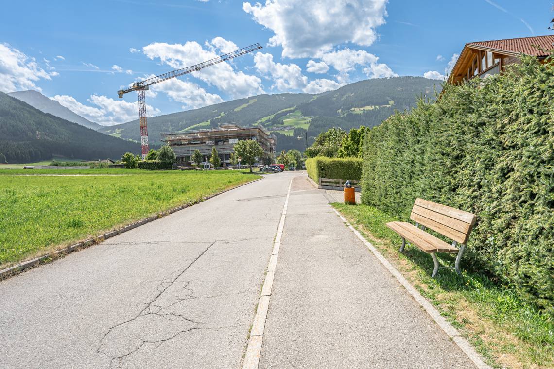
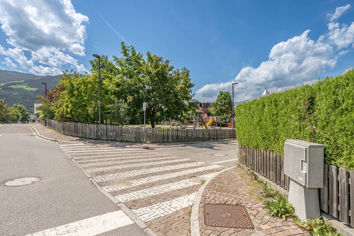
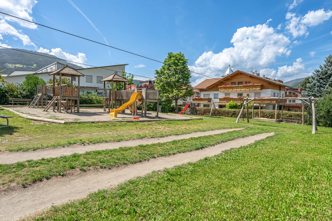
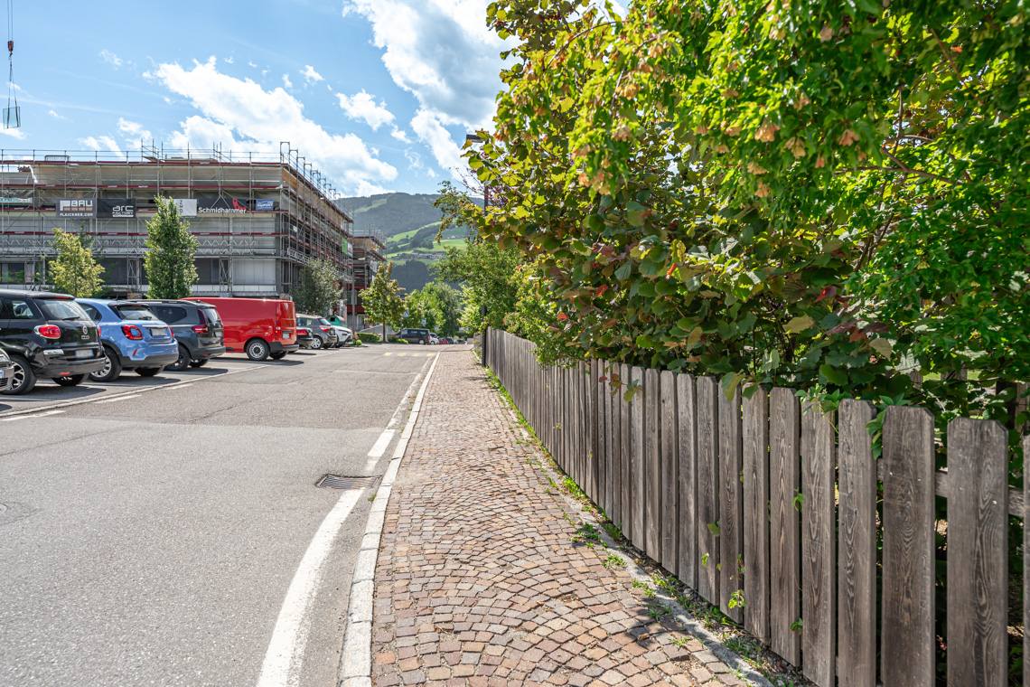
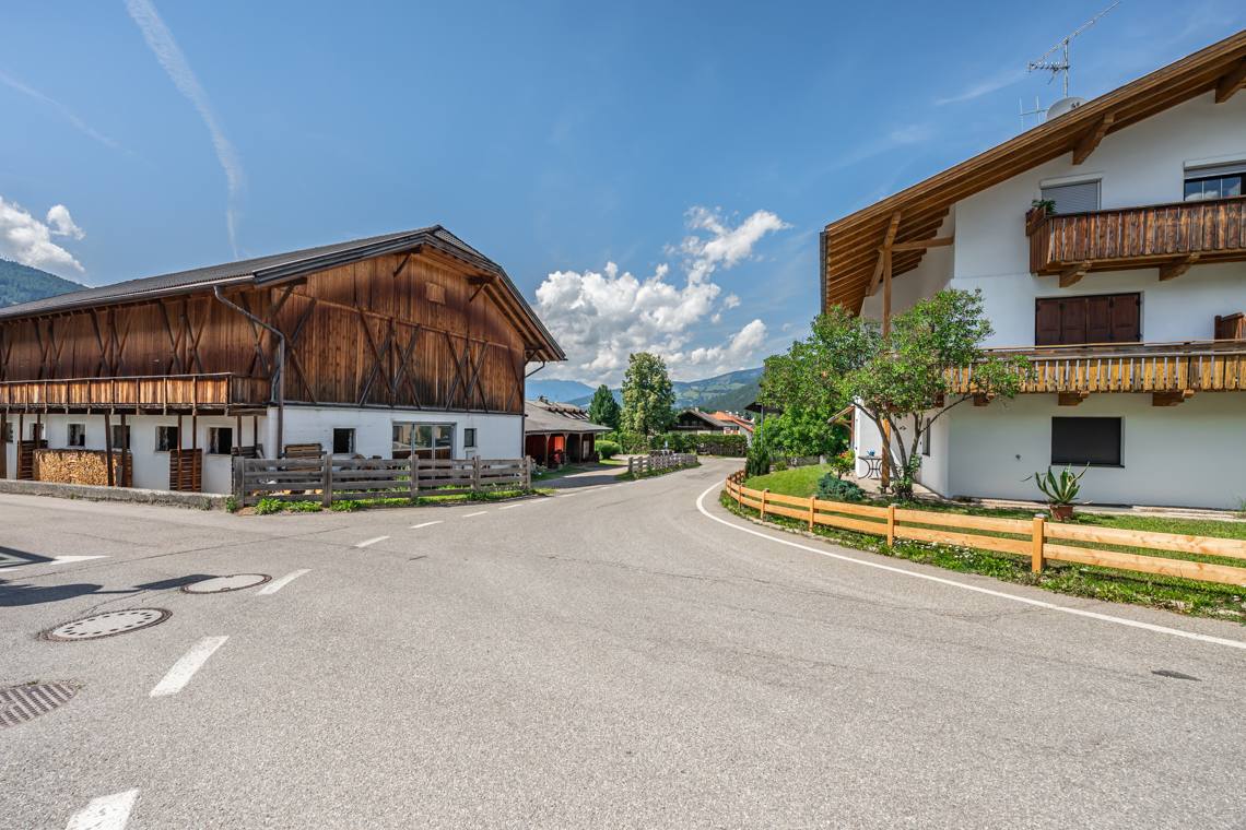
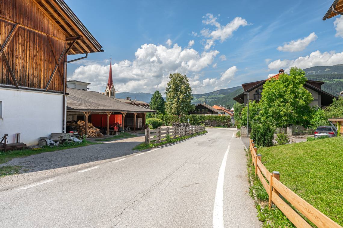
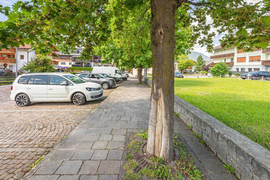
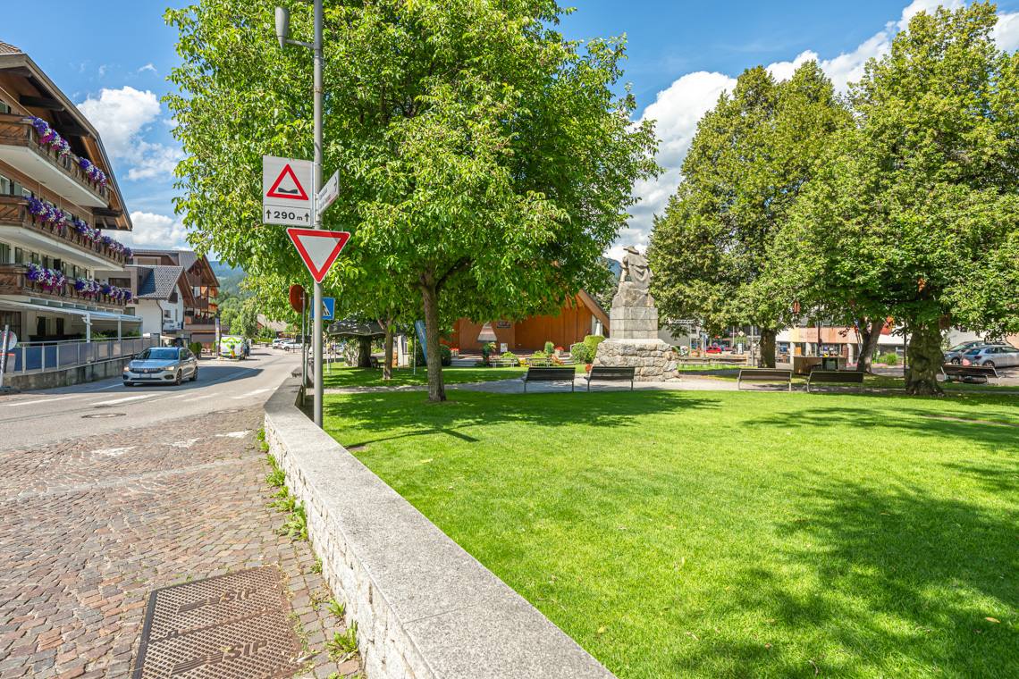
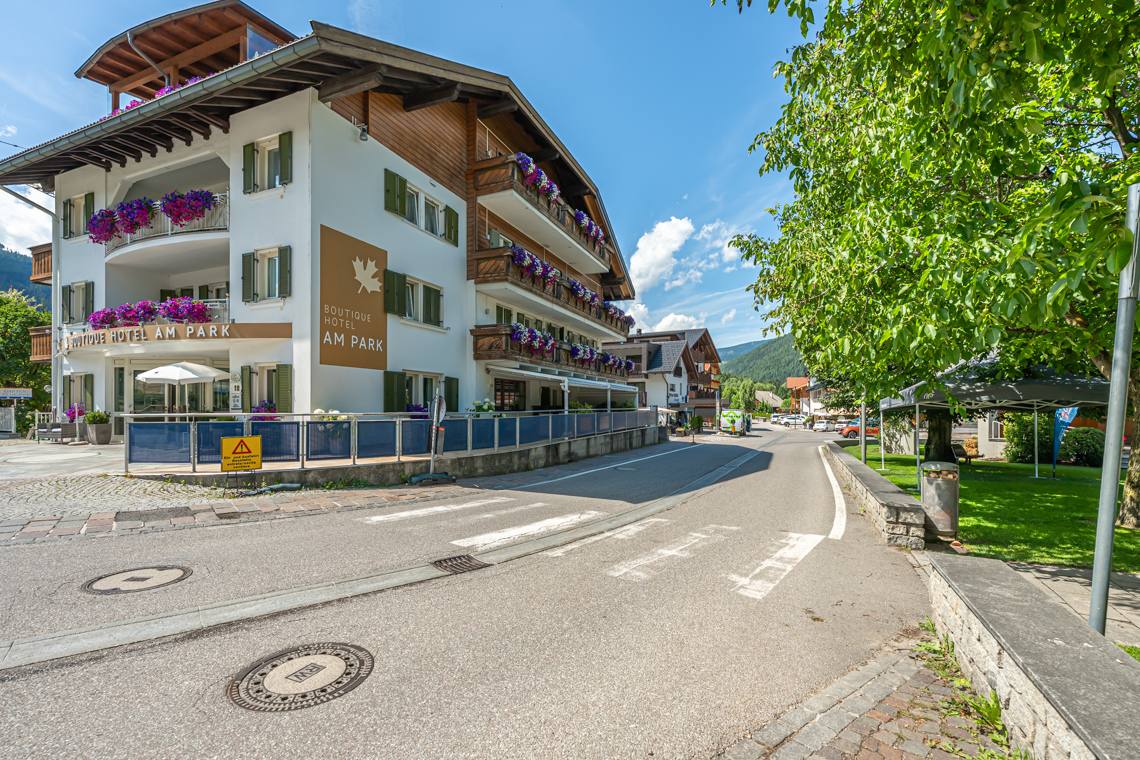
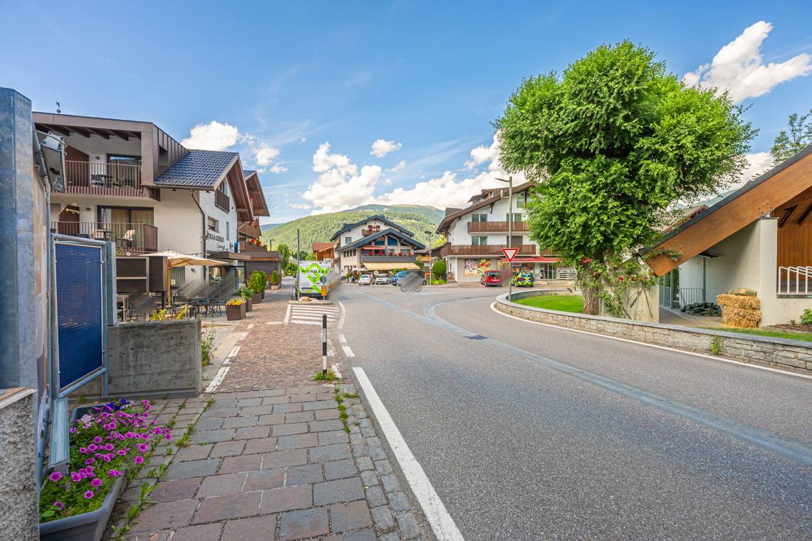
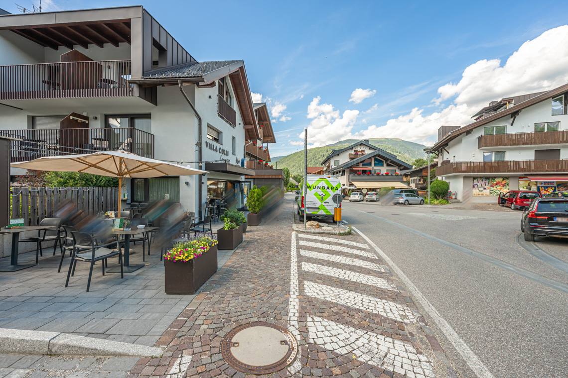
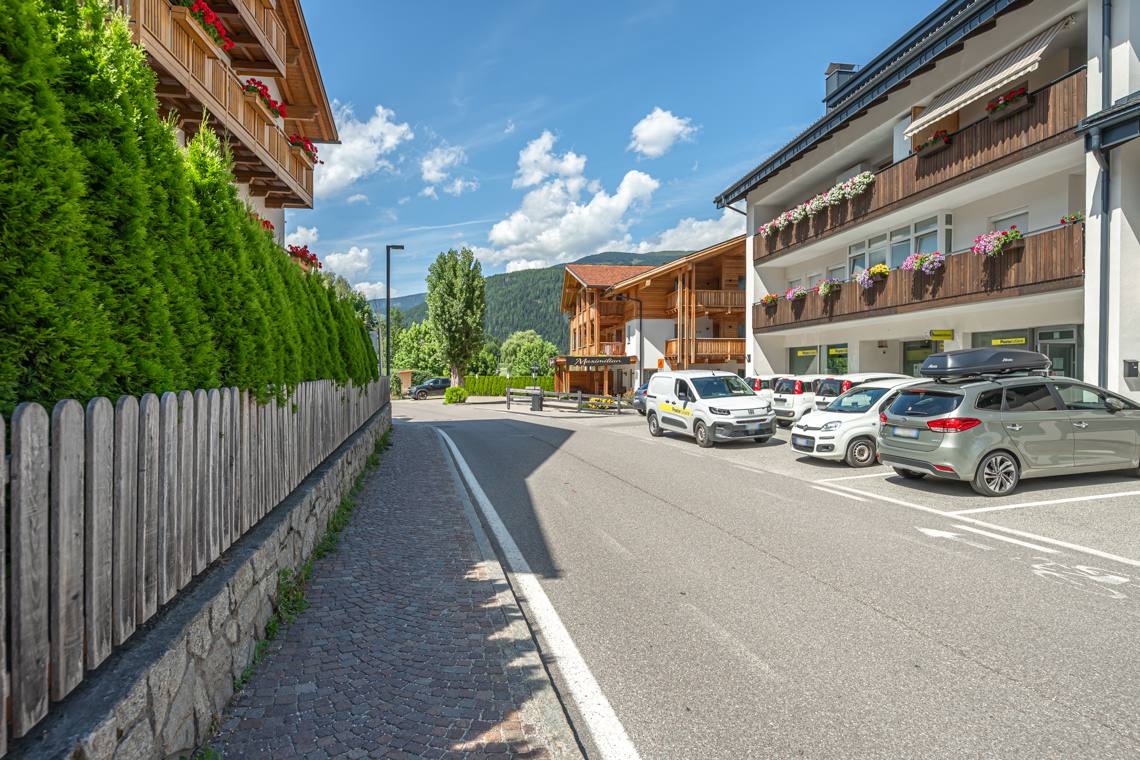
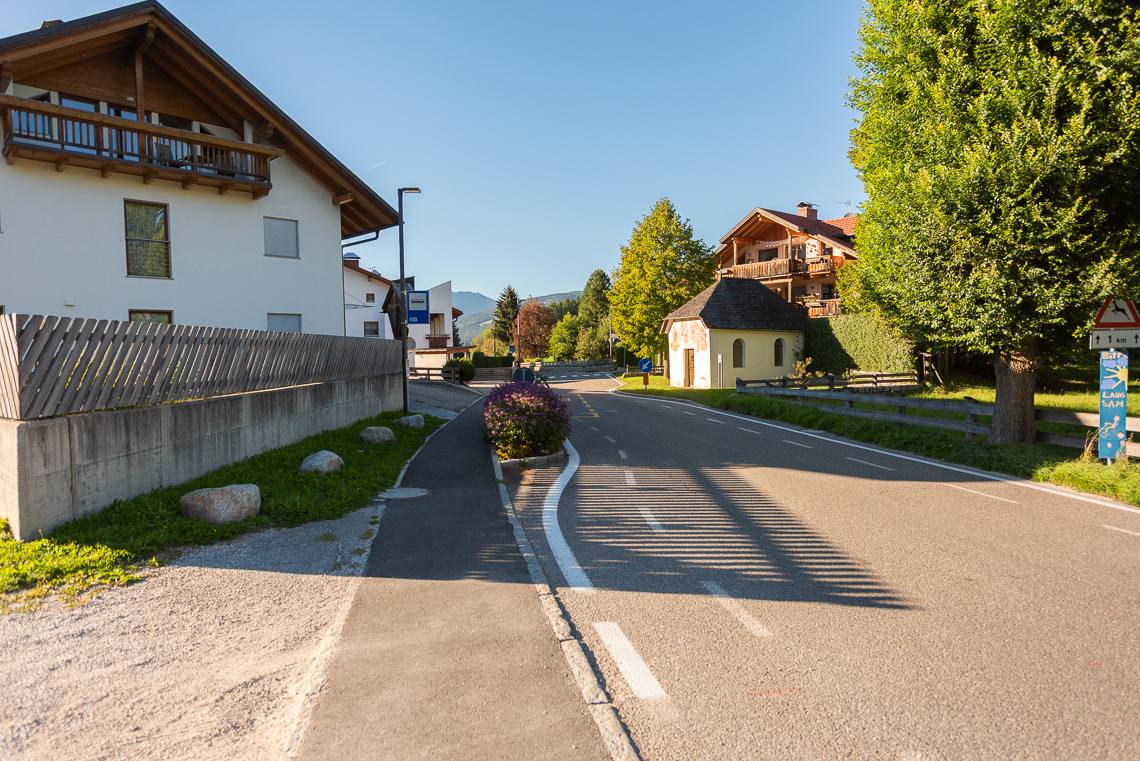
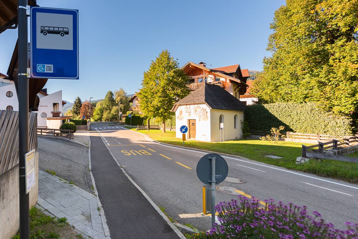
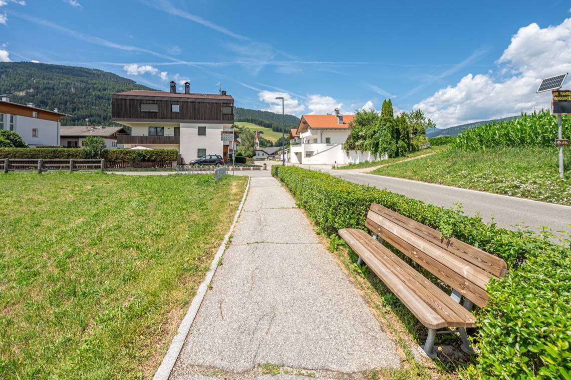
The road becomes paved again and winds very pleasantly along flat terrain through wide green spaces, offering splendid panoramic views, benches at every intersection, a drinking fountain, and a memorial monument. This is the most accessible section of the entire route. Passing below Restaurant Pizzeria Panorama, you reach the first bus stop and enter Valdaora di Sopra along a continuously descending sidewalk. Here, continue straight between the village houses for about 500 meters, then turn left onto via Canonico Gamper. Along this street, a cobblestone sidewalk passes a playground and the local health complex. Here, pay attention to a short stretch not protected by a sidewalk, until reaching a large parking lot and the church in the center of Valdaora di Mezzo.
Return on the Pedestrian-Cycle Path and Final Stretch
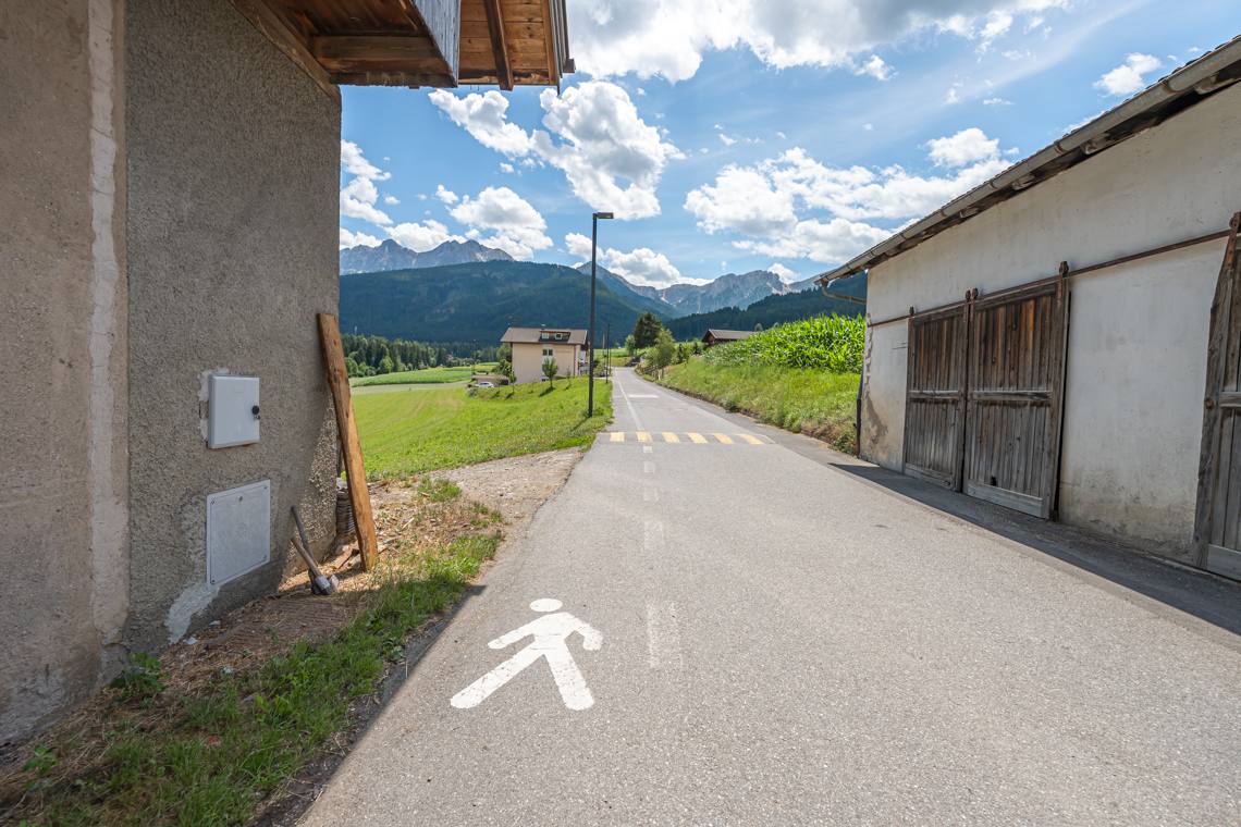
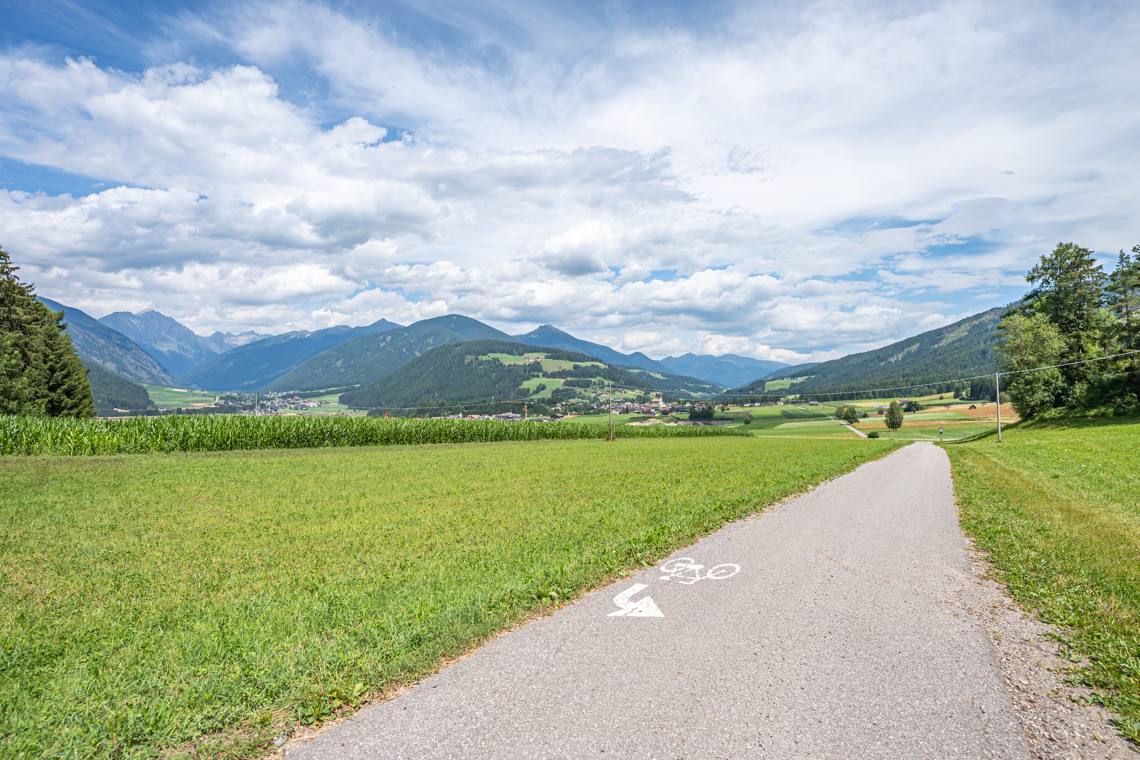
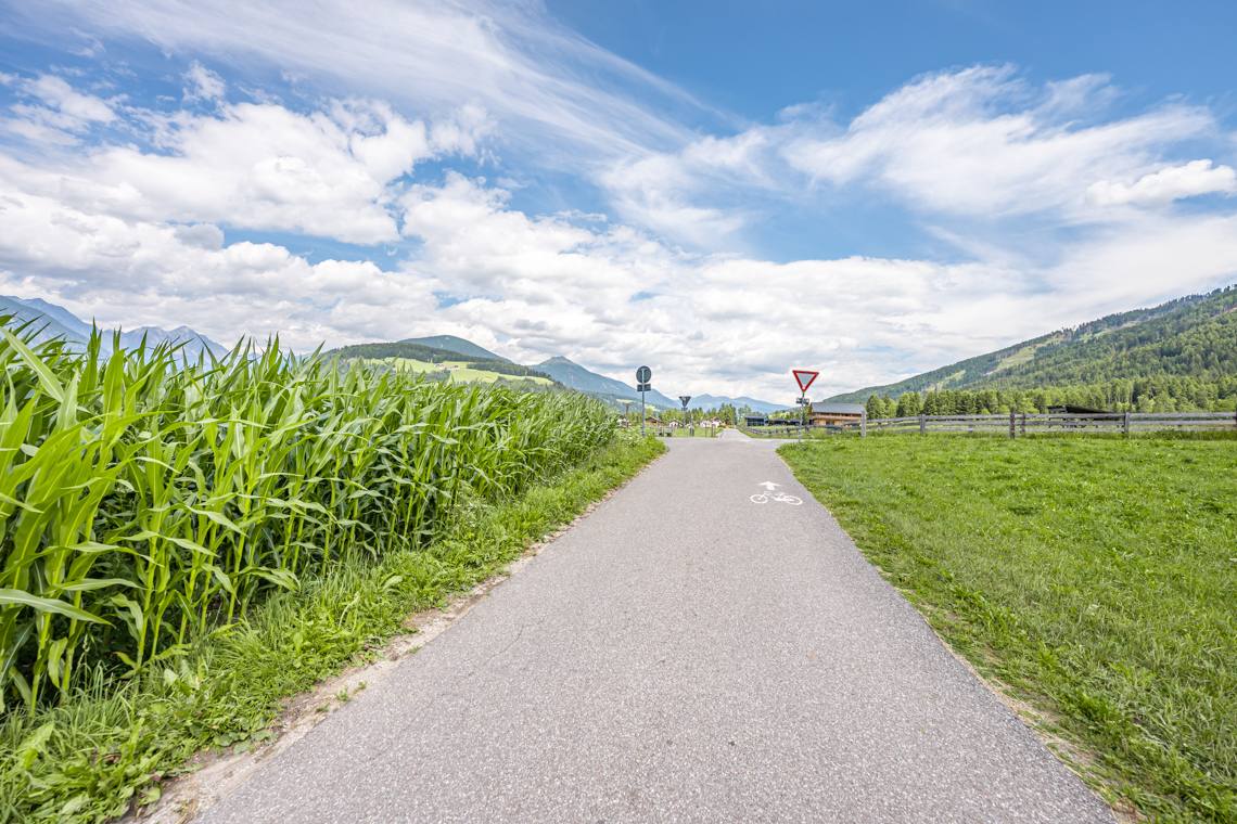
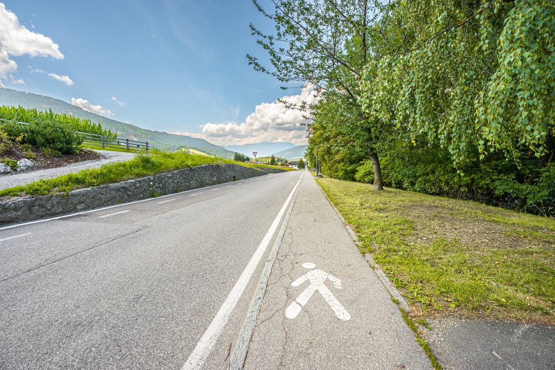
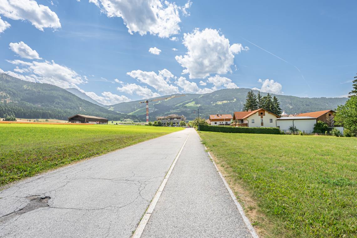
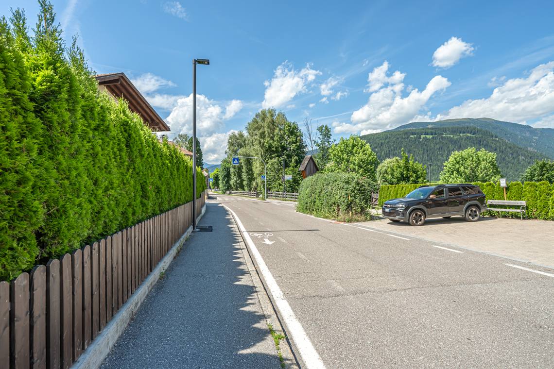
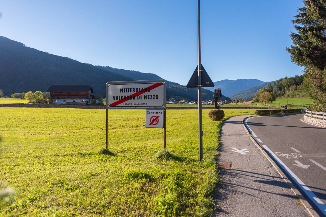
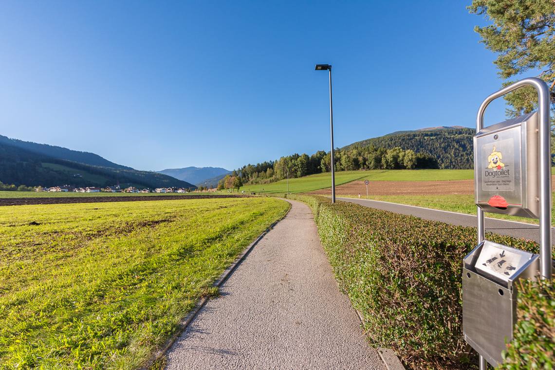
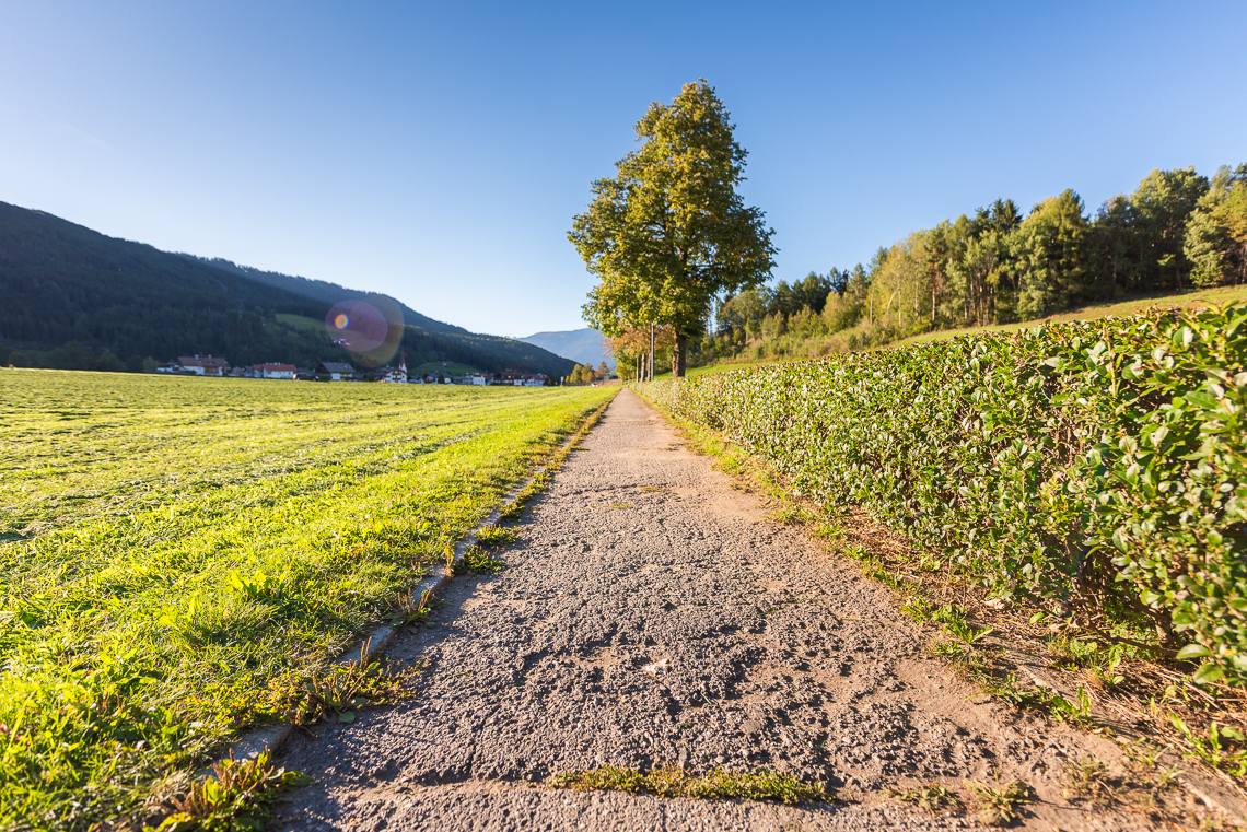
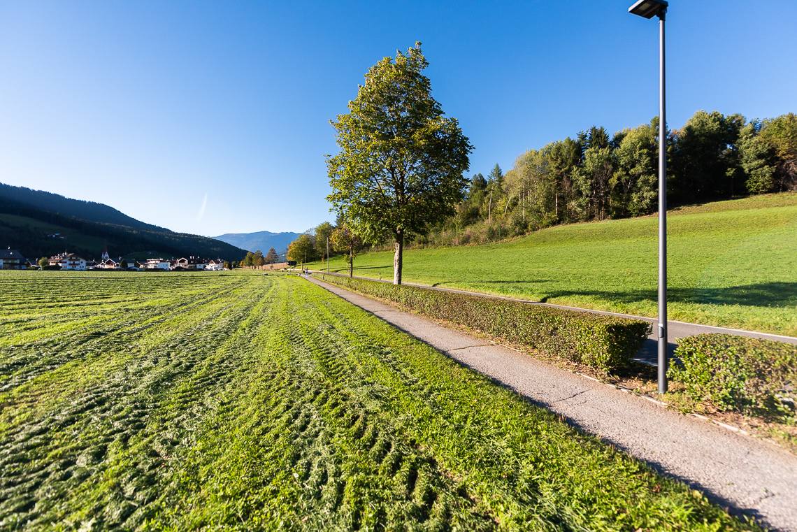
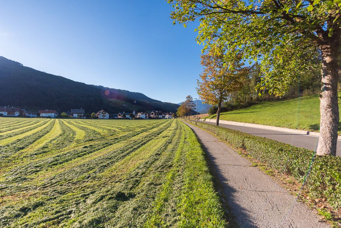
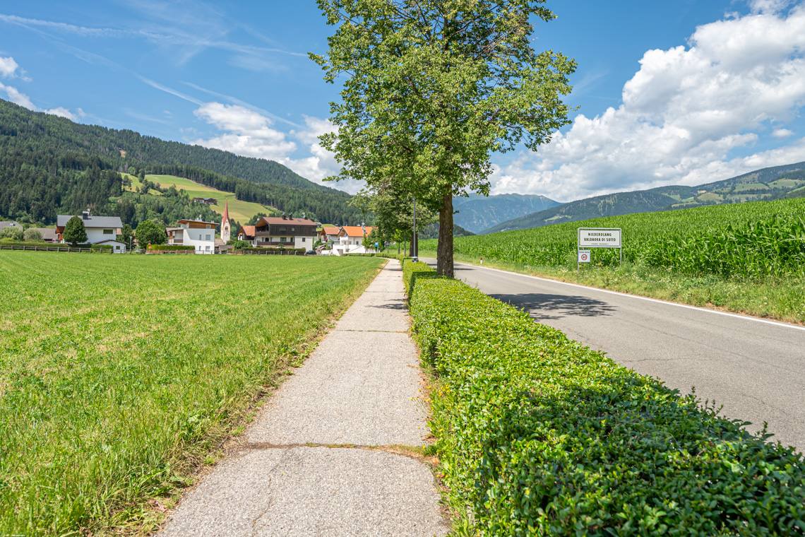
For those continuing on foot, from the center of Valdaora di Mezzo you pass the public gardens and keep straight on the protected pedestrian-cycle path: a straight, flat stretch that safely leads to the entrance of Valdaora di Sotto.
Recommendation for shortening the route: Starting from Valdaora di Sopra and throughout the center of Valdaora di Mezzo, there are numerous Bus and CallBus stops. For those wishing to avoid the strenuous final stretch, we recommend ending the walk here and returning comfortably to the starting point in Valdaora di Sotto by public transport (avoiding the last section in Valdaora di Sotto).
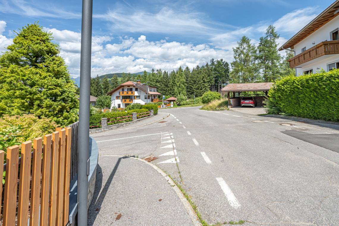
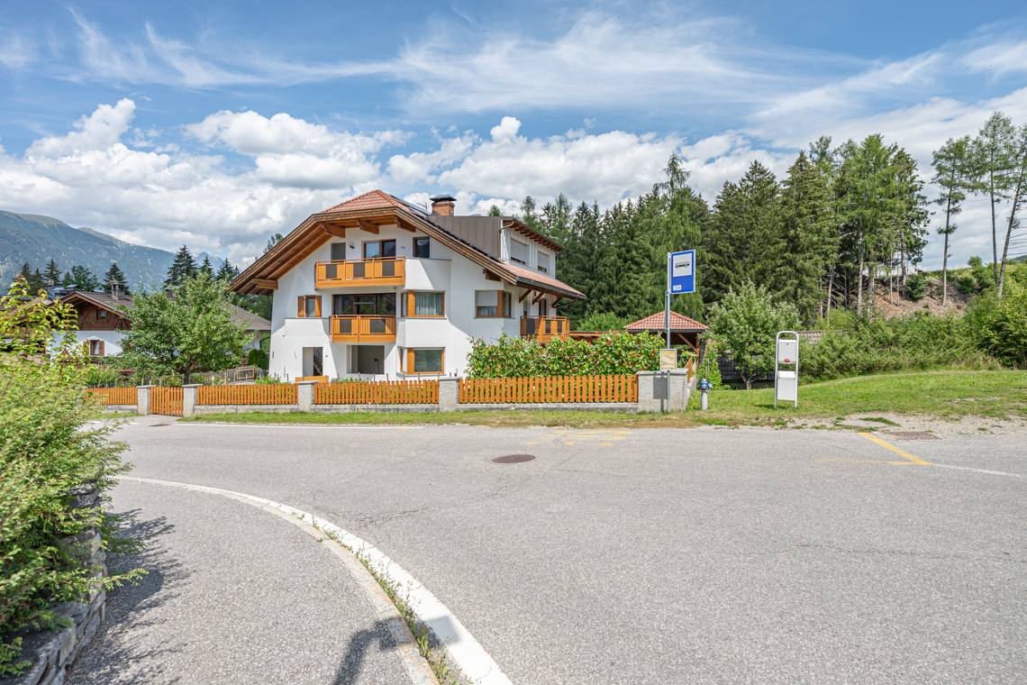
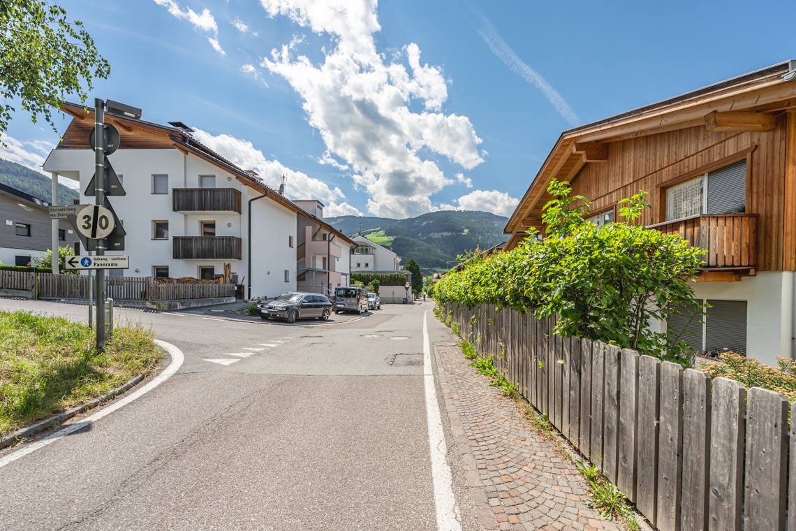
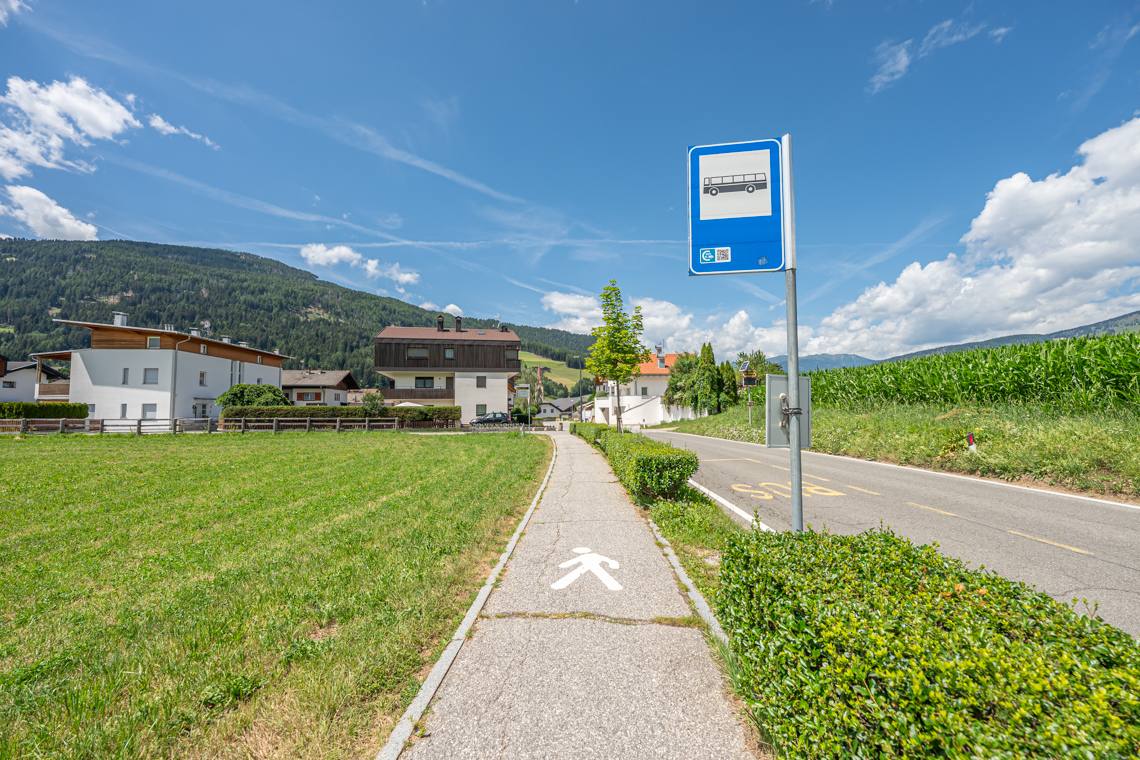
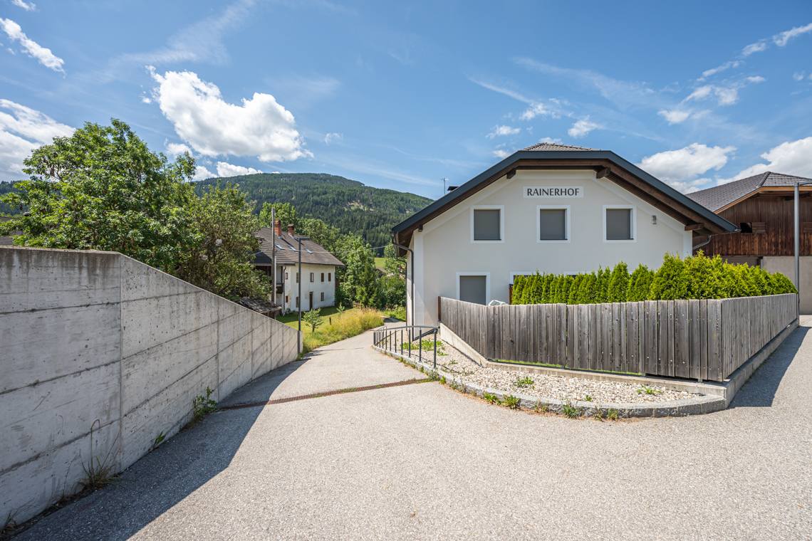
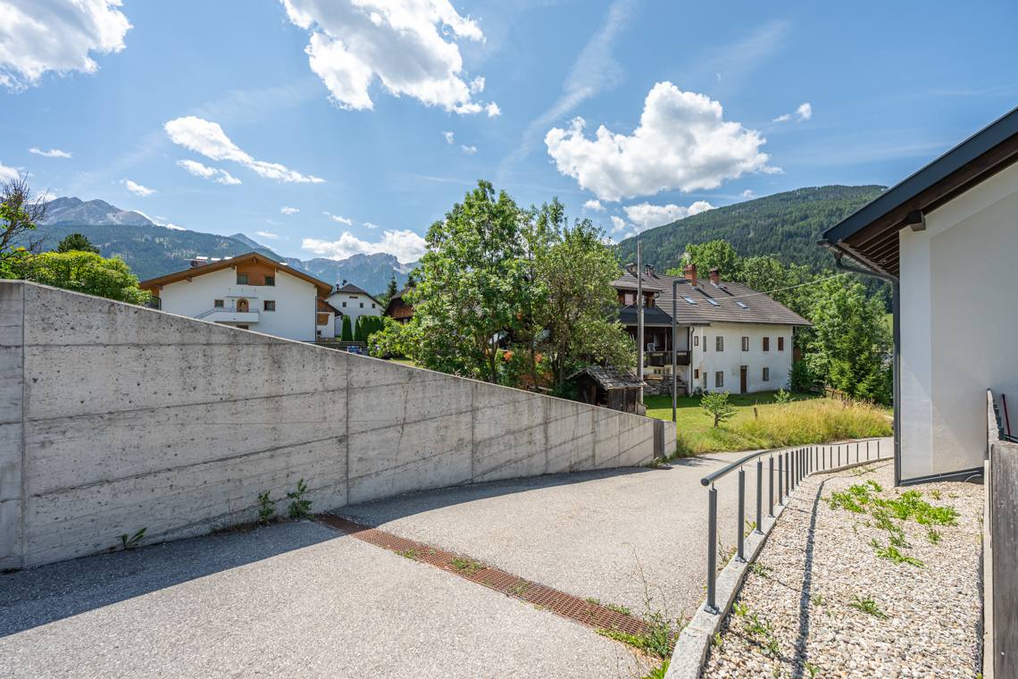
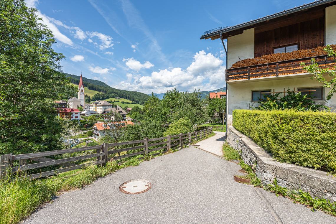
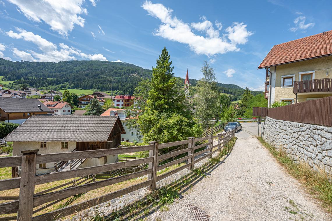
At the bus stop at the village entrance, you enter the final stretch, which requires extreme caution: near the Rainerhof, turn left onto a side street with a very steep ramp reaching an 18-20% gradient (equipped with a handrail). This leads to the "Höhenweg" dirt path, which descends steeply to the Valdaora di Sotto bridge, where there is an unramped step of about 3 cm. After crossing the bridge, a final steep climb on cobblestones brings you back to the church parking lot, completing the loop.