Along the Via Claudia Augusta from Salurn to Laag
Foto (58)
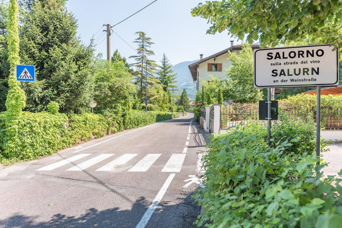
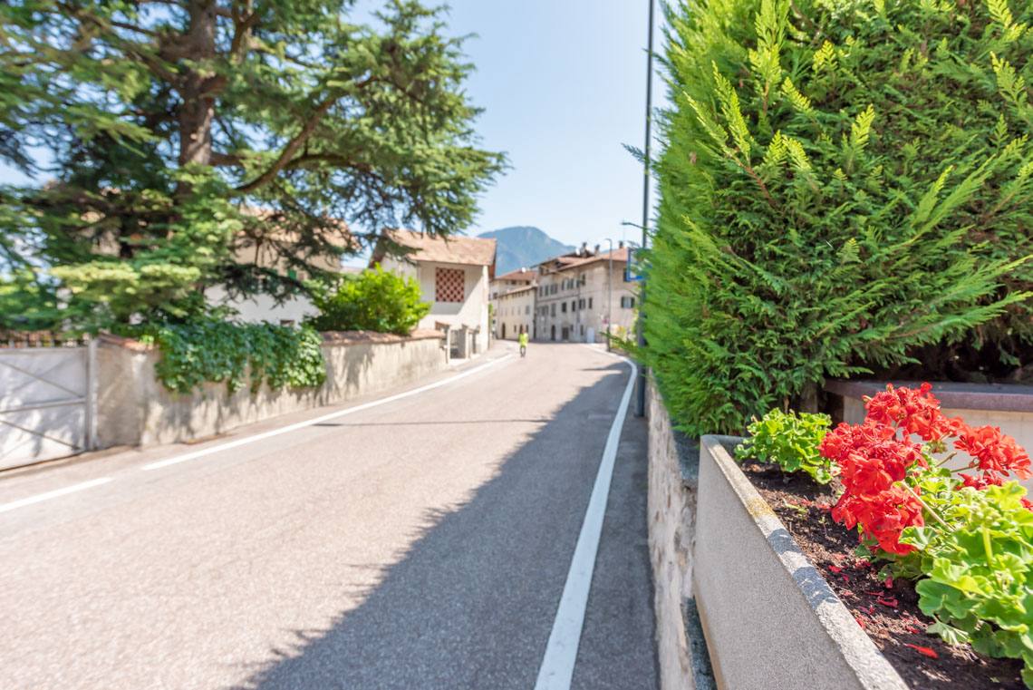
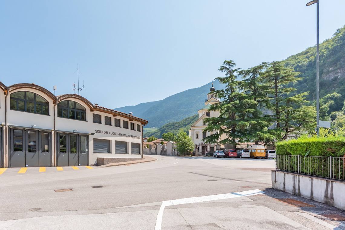
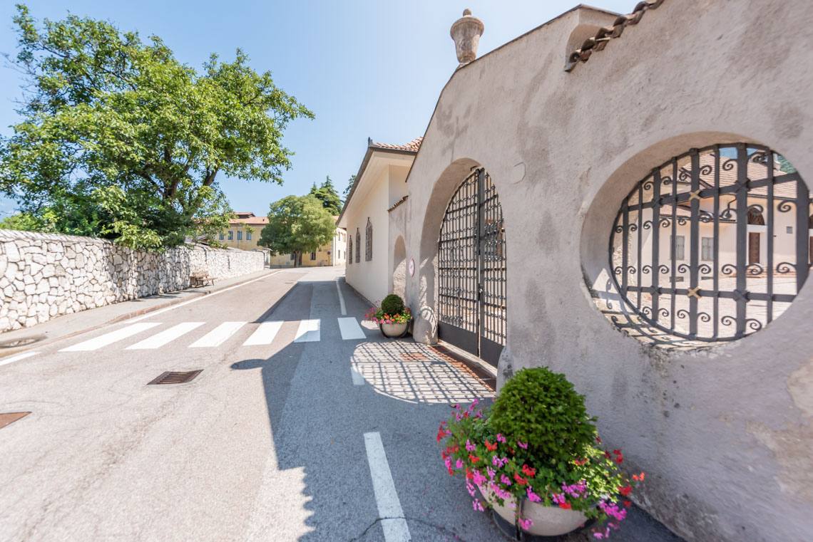
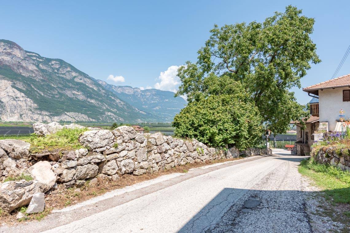
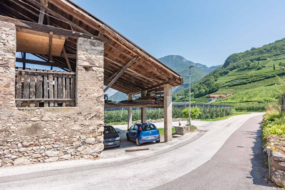
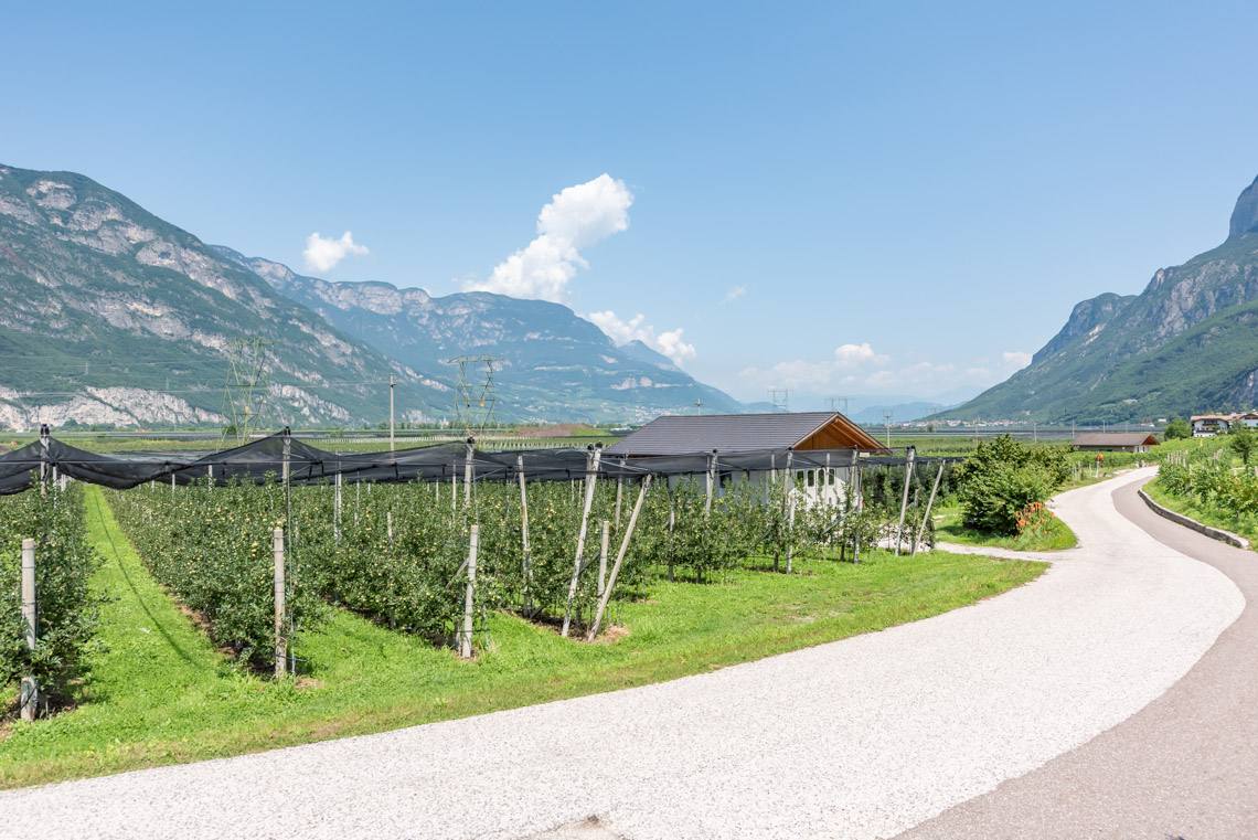
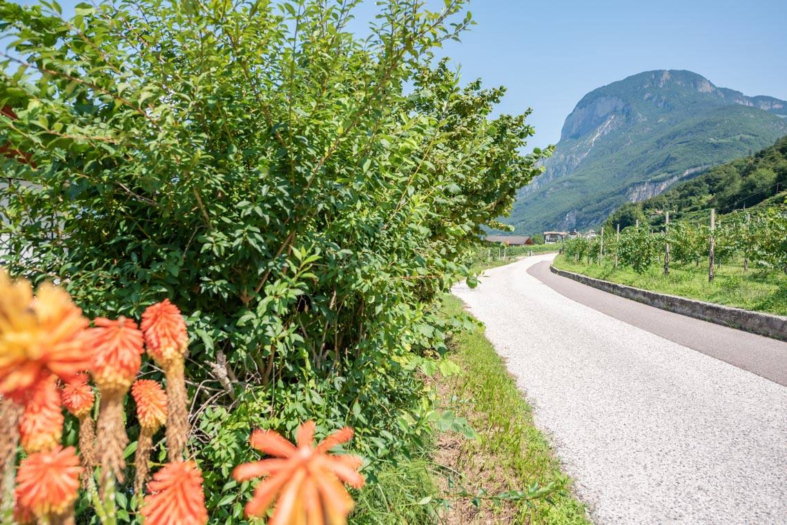
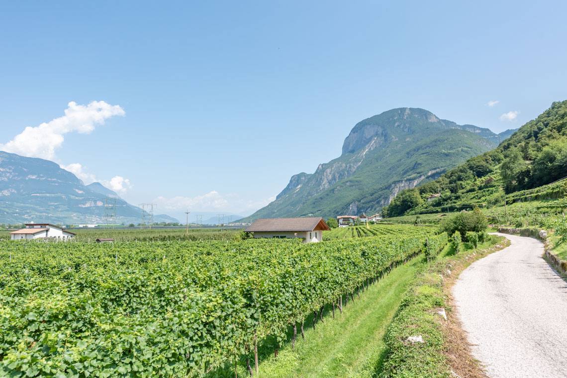
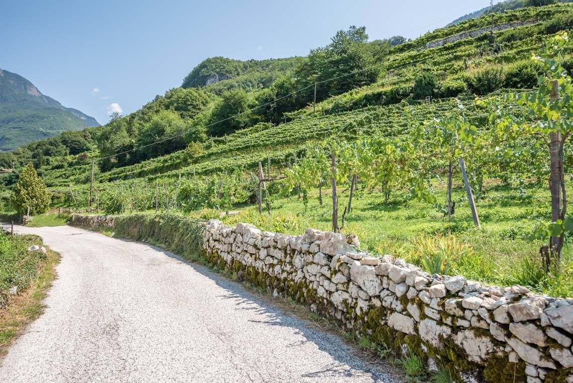
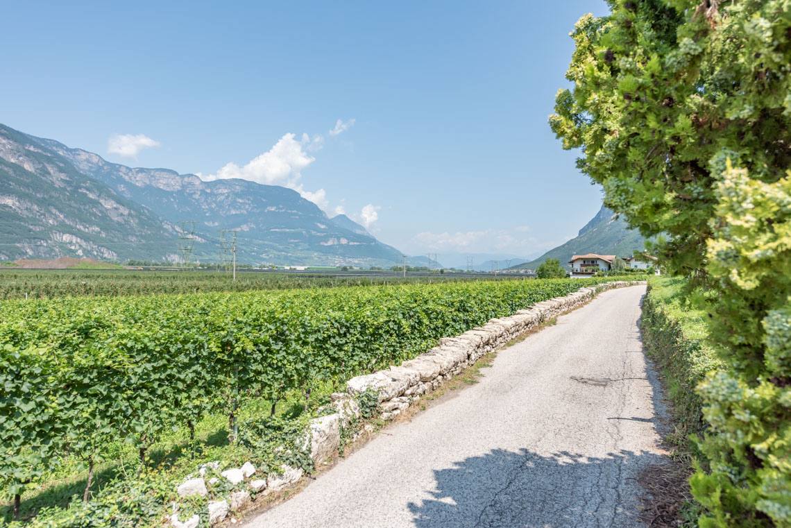
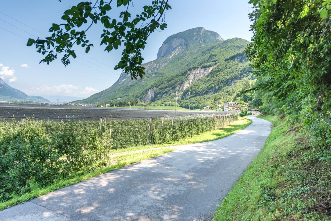
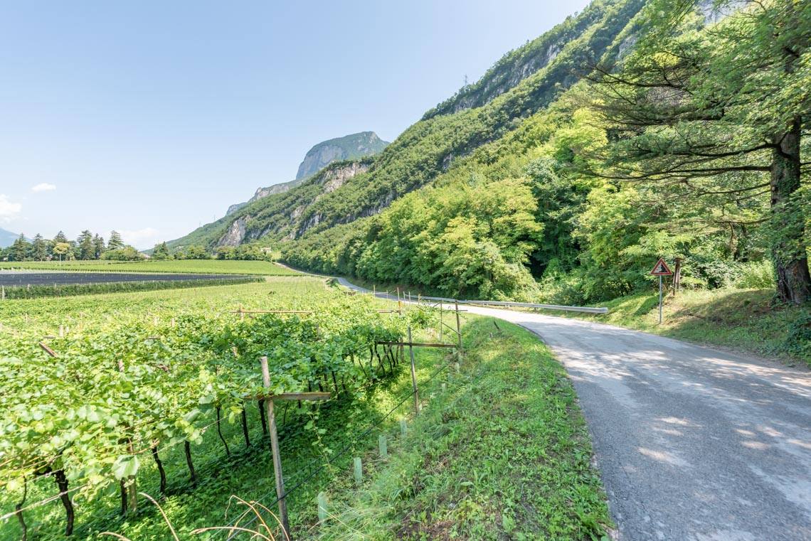
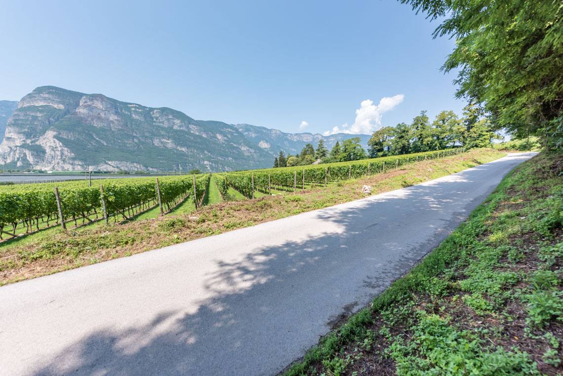
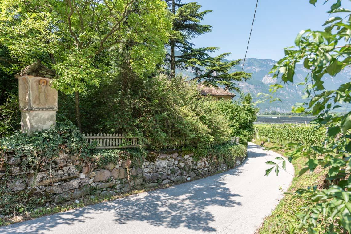
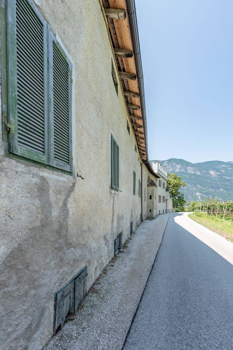
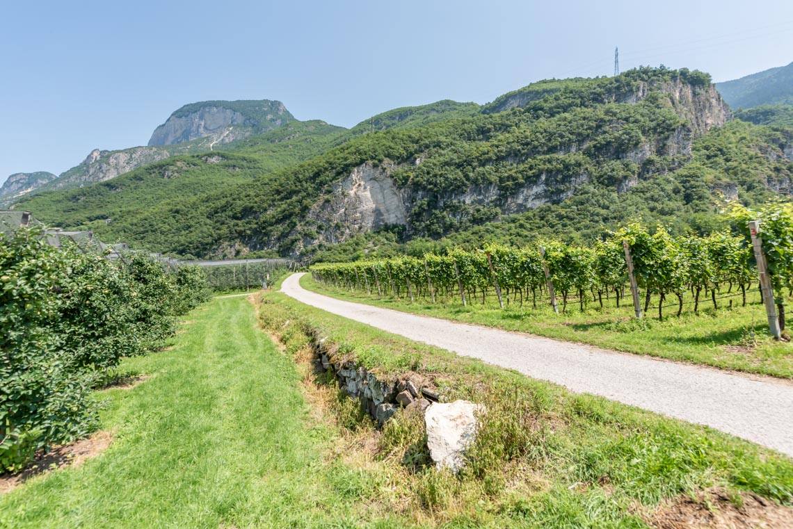
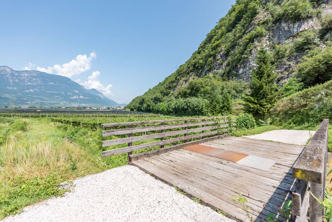
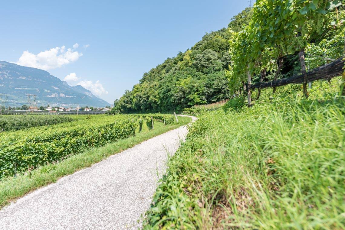
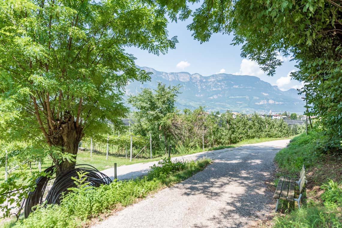
This sunny walk takes us along the Romans’ former ‘North-South Motorway’, the Via Claudia Augusta, through the South Tyrolean lowlands from Salurn to Laag (a hamlet of Neumarkt). Thanks to the continuous tarmac surface, this leisurely walk is particularly suitable for families with pushchairs and people with disabilities; apart from a few short inclines, the route runs almost flat across the extensive valley floor. In addition to the picturesque little village centres of Salurn and Laag, the walk offers sweeping, unobstructed views of the well-tended South Tyrolean cultural landscape with its apple trees and vine-covered slopes.
Accessibility
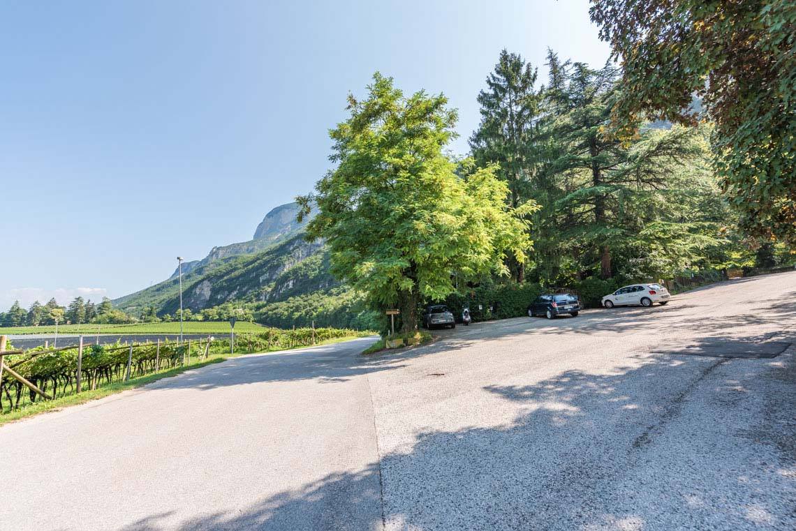
From Bolzano, take the main road towards Trento as far as Salurn; alternatively, from the A22 Brenner motorway (Neumarkt exit), head towards Salurn, where you can park in the public car park by the fairground/Haderburg on the southern edge of the town, at the roundabout.
Those who prefer to do the circuit by bike will also find an e-bike hire service in Salurn called “SummerBike”.
Description
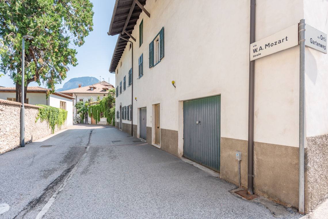
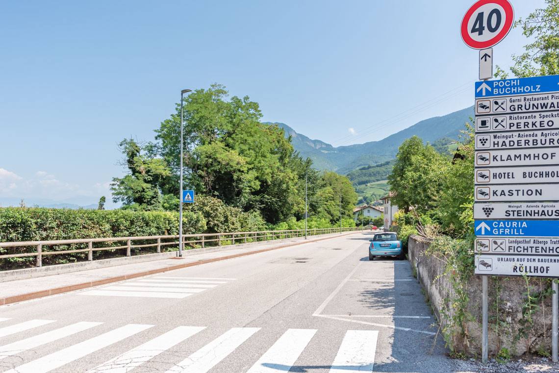
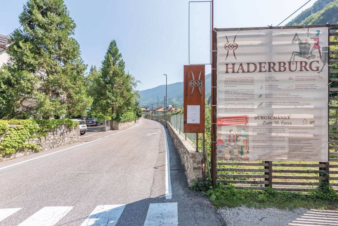
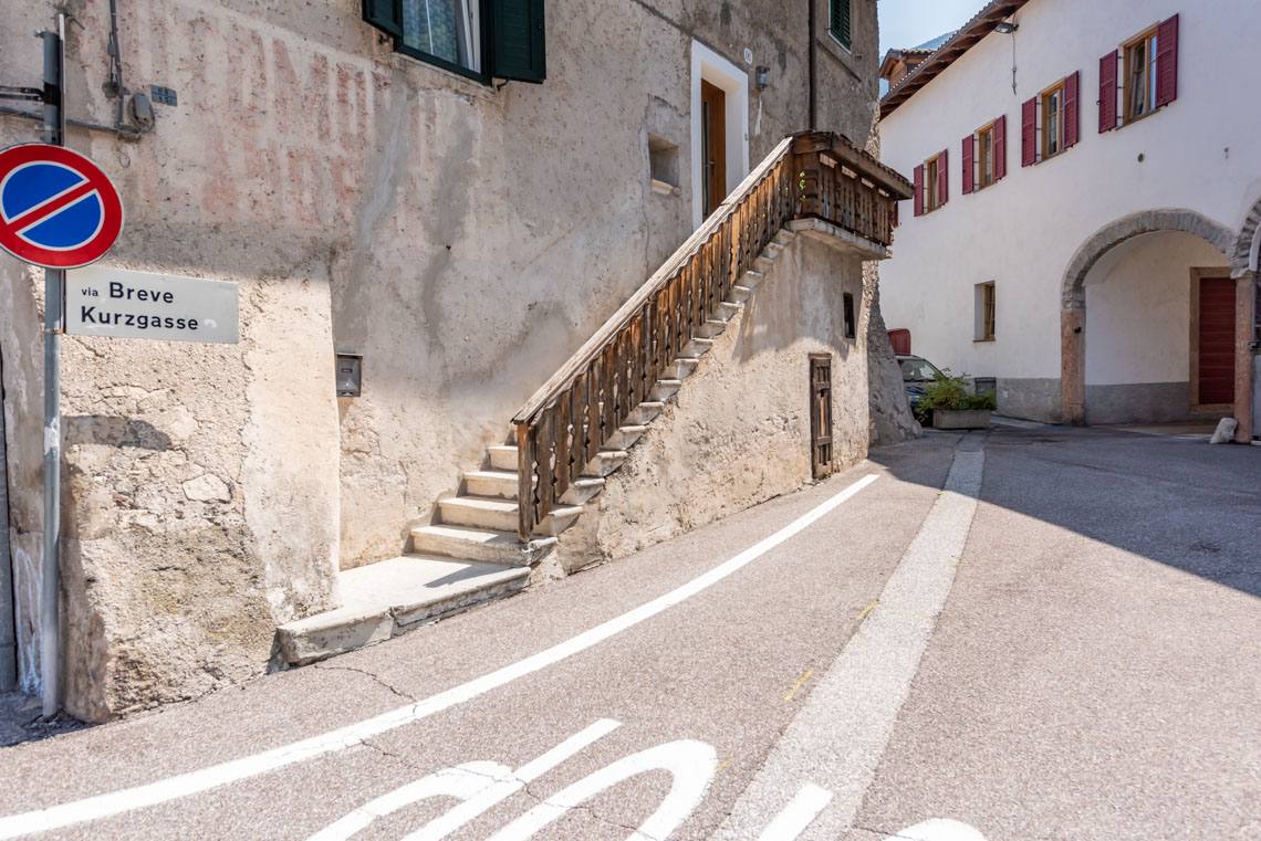
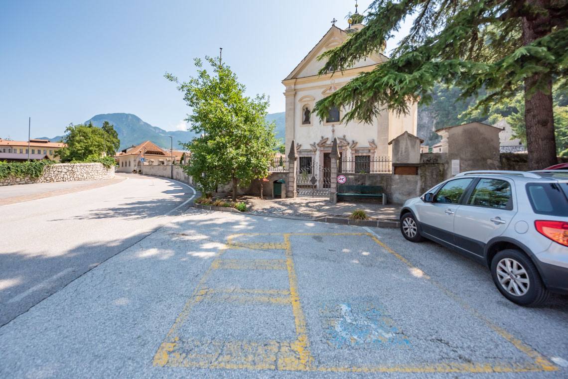
Starting from the public car park at the fairground/Haderburg, we set off along Trientstraße towards Salurn. Passing the entrance to Haderburg, we turn right shortly afterwards into Kurzgasse and eventually reach Schießstandstraße (1 reserved parking space for people with disabilities by the cemetery church). From here, we follow Mozartstraße further towards the village centre until we reach Rathausplatz.
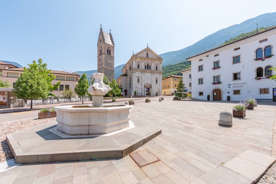
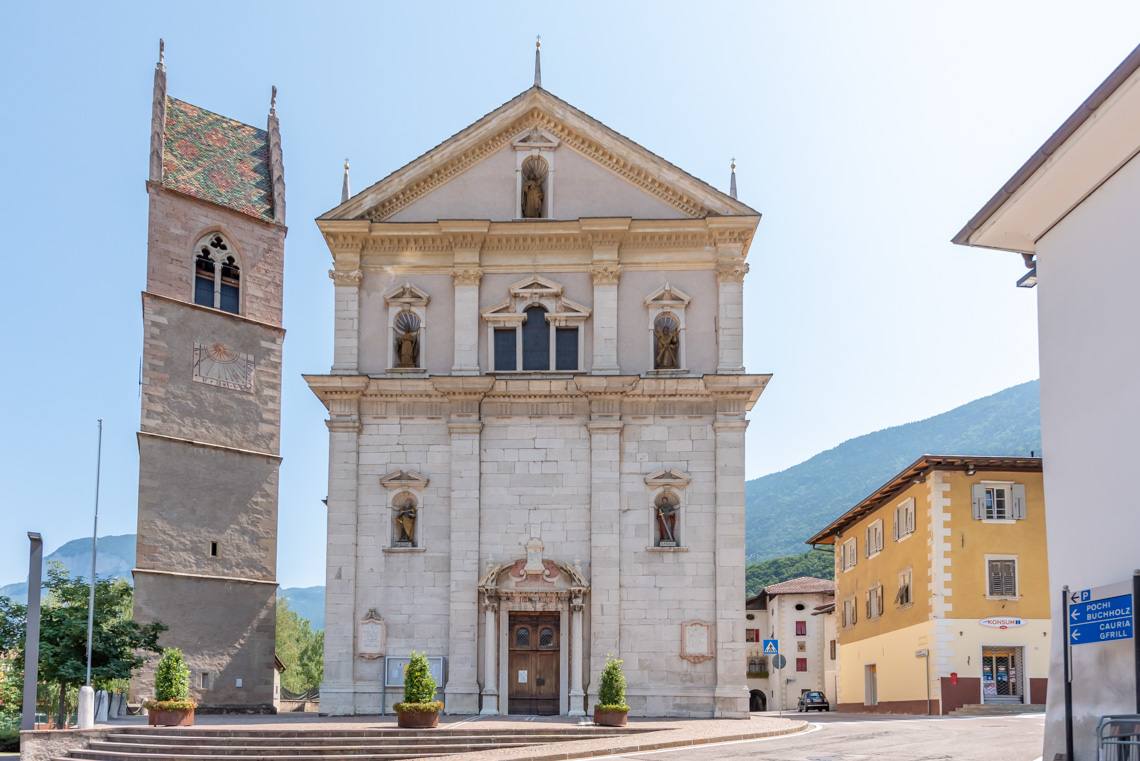
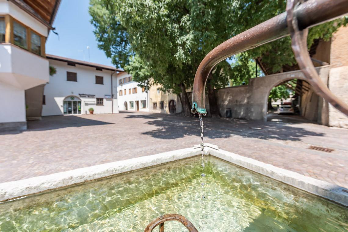
This square is adorned with the imposing parish church of St. Andreas and the white marble Dolphin Fountain. The original fountain also featured a statue of Hercules supported by dolphins. Hercules symbolises victory over water, which is embodied by the dolphins. The new fountain lacks the statue of Hercules because Salurn has so far been denied a definitive victory over water. The last devastating flood in the village, to which many photo panels along our route bear witness, dates back to 1981.
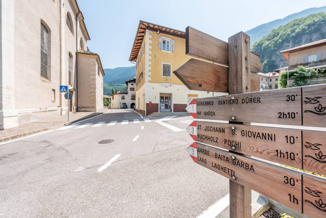
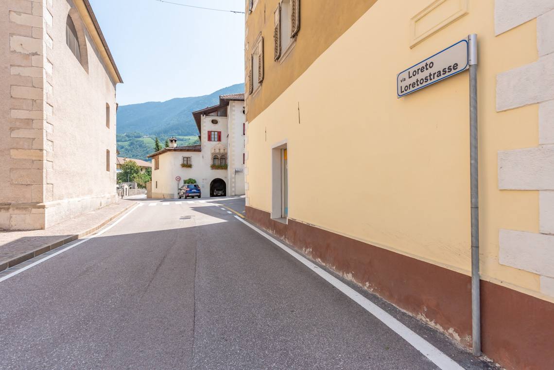
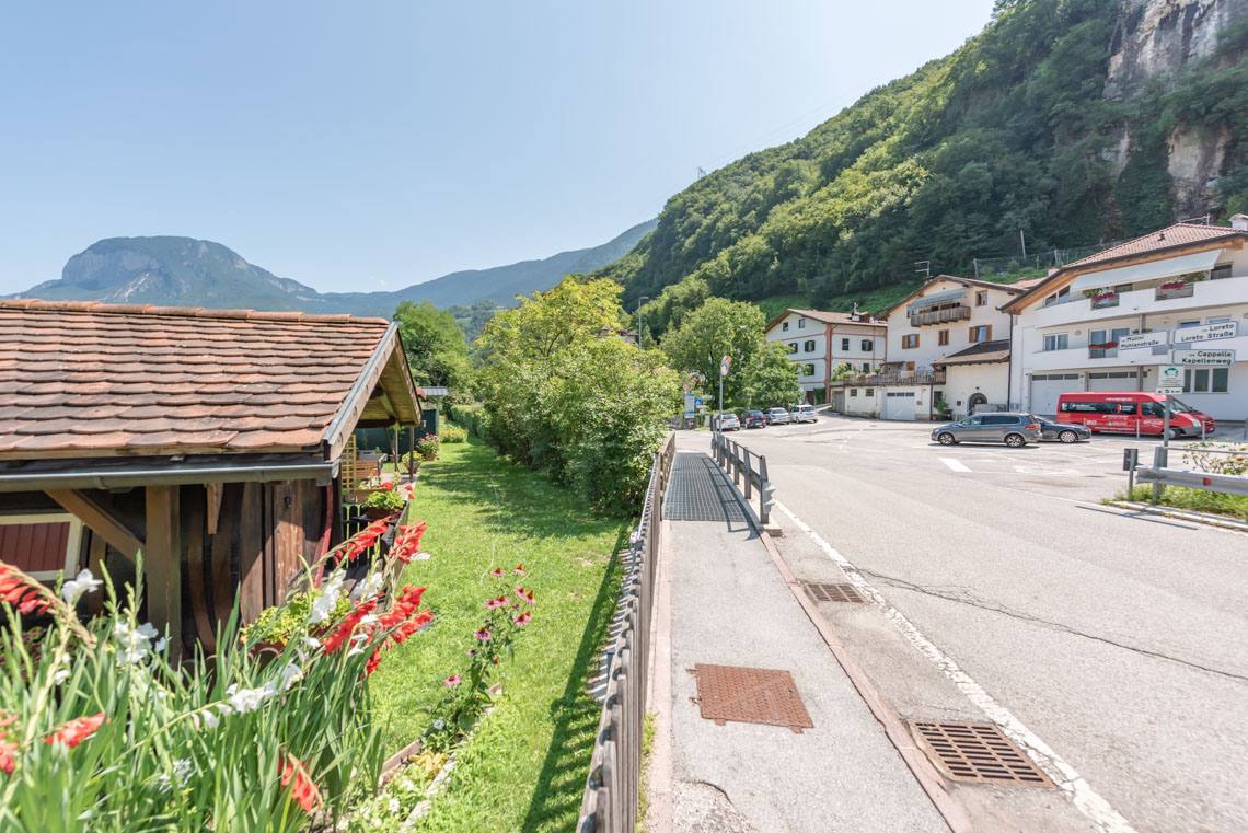
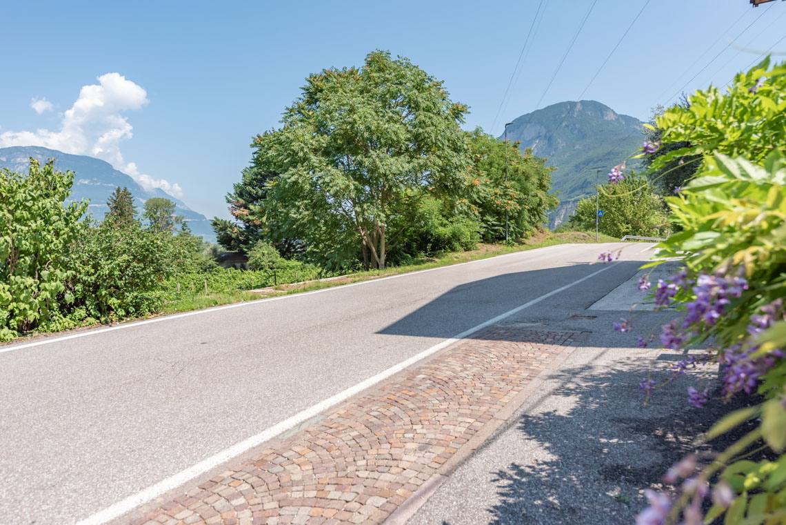
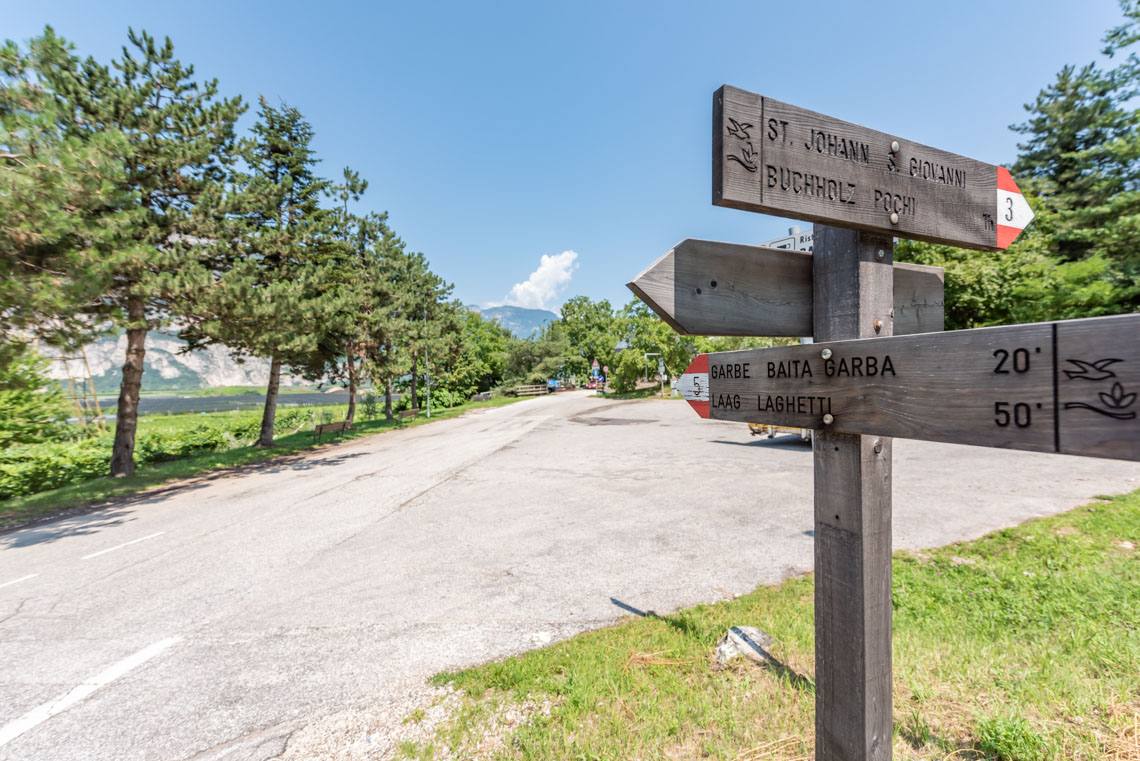
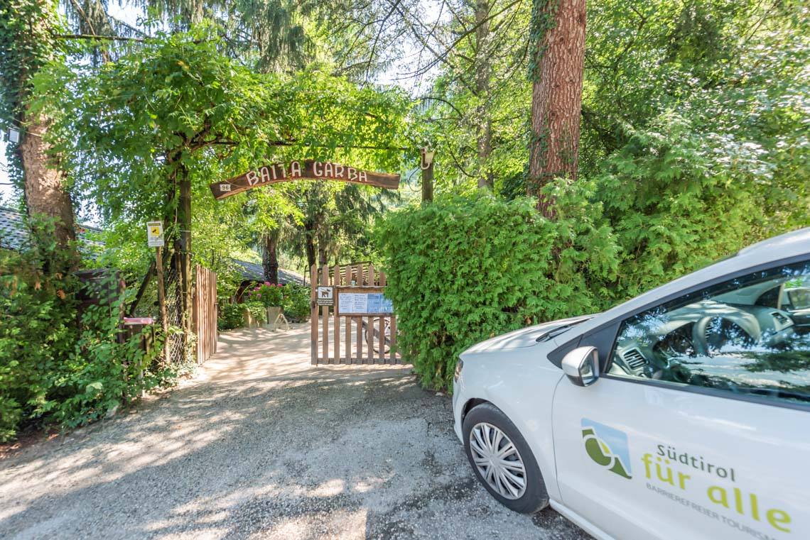
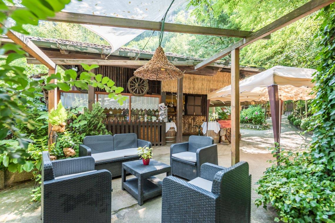
We now walk along Loretostraße (trail marker no. 3) on the pavement out of the village (a 100-metre climb with a 5% gradient) until we turn left onto Mühlenstraße (trail marker no. 5). After a short 8% descent on a bend between two farmsteads, the route continues on almost level ground until, after just under a quarter of an hour, we reach the Baita Garba snack bar (20 m access path with a 15% gradient, no accessible toilet).
Just beyond this, the narrow tarmac road winds its way up a small hill (an 8% gradient over a distance of around 150 m), from where the path descends at the same gradient to the Karneid country house (an 8% gradient over a distance of around 150 m).
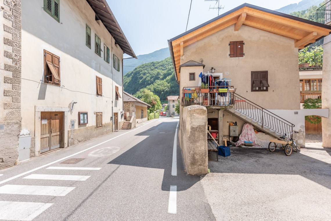
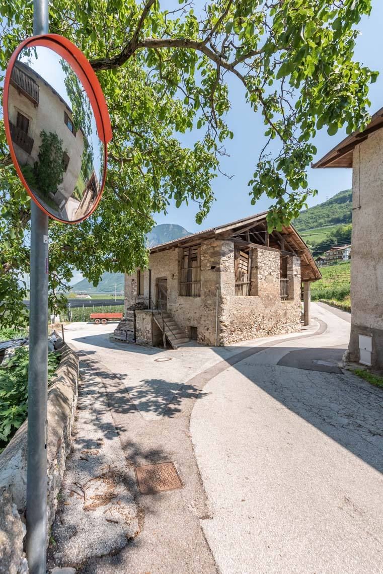
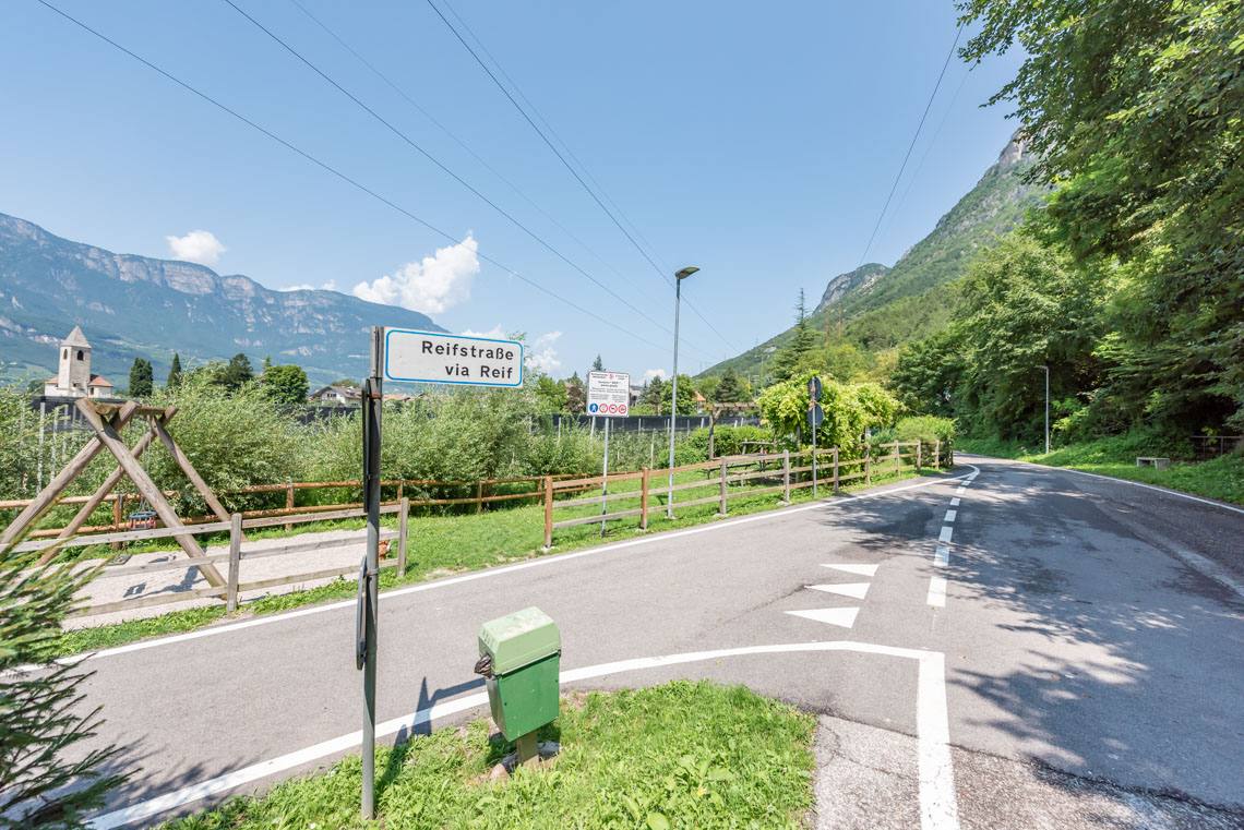
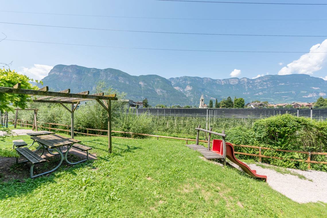
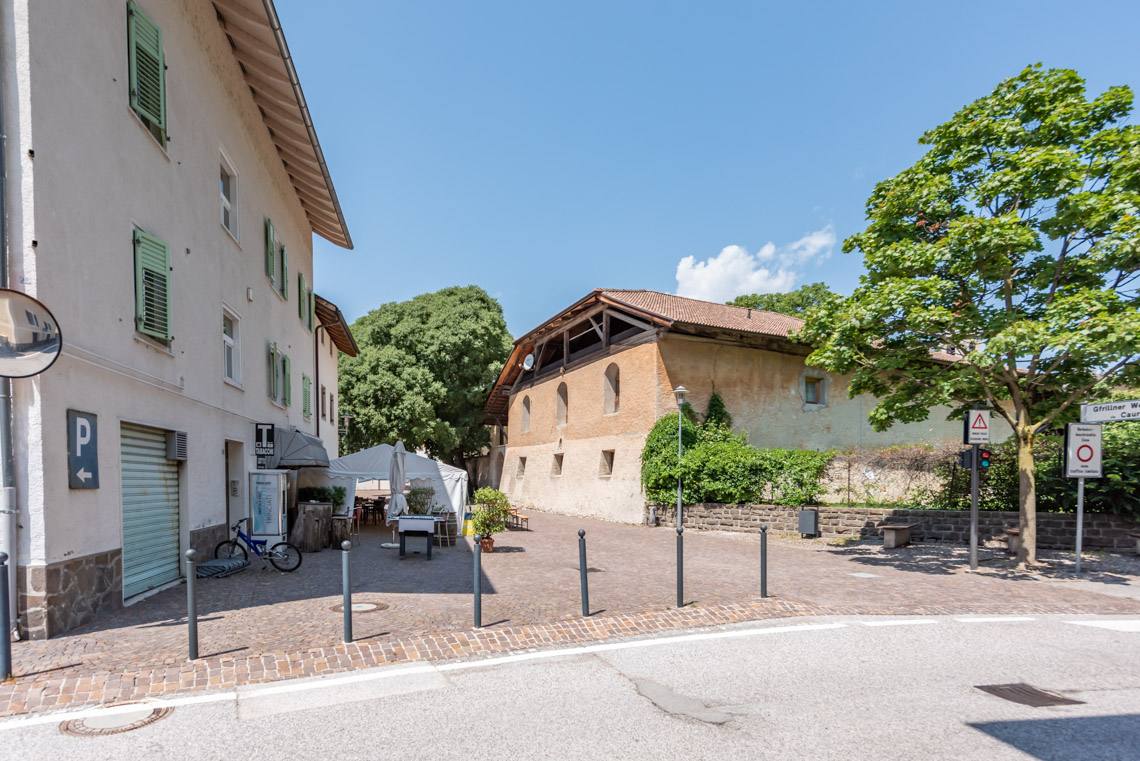
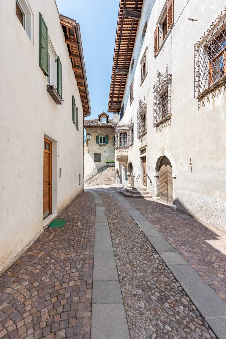
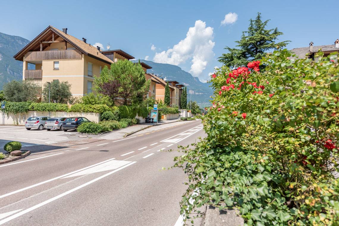
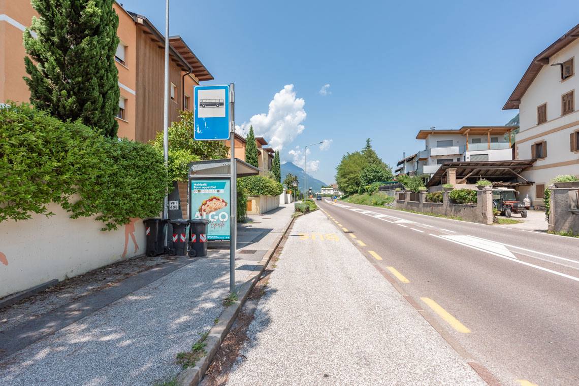
At a left-hand bend, turn right onto forest track no. 5, which takes us to Laag. Staying on the same path, we reach the small children’s playground on Reifstraße. Passing through the small historic village centre (Gfrillnerstraße), we reach the nearby bus stop on the main road. Alternatively, we can walk back along the same route to our starting point in Salurn.
Information about the walk
Suitable for:
For families with pushchairs, older people, people with disabilities, and cyclists
Road surface:
Asphalt
Bars/Restaurants:
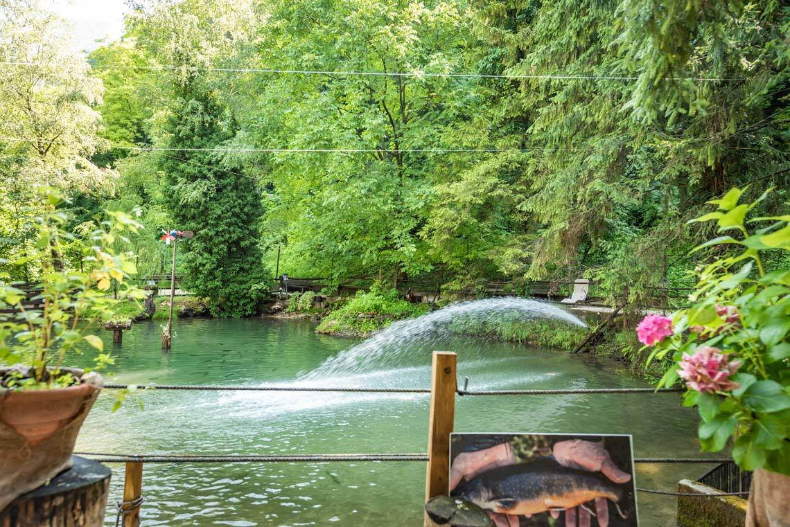
Baita Garba Restaurant (specialising in trout)
Public transport:
Bus route 120 Bolzano–Auer–Neumarkt–Salurn
WC:
/
Sun/Shade:
A hike with sunshine all the way