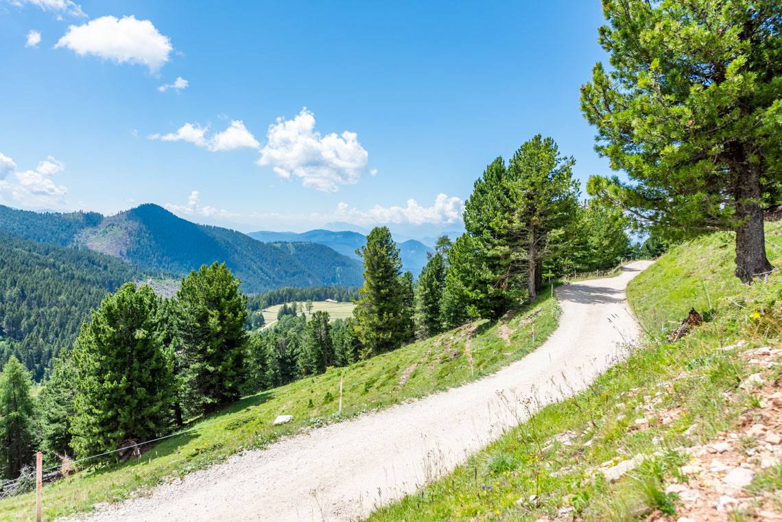
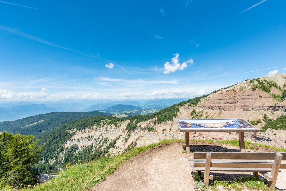
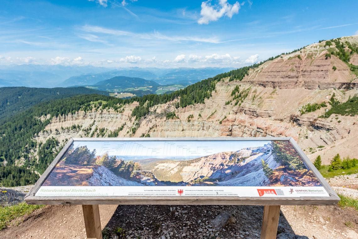
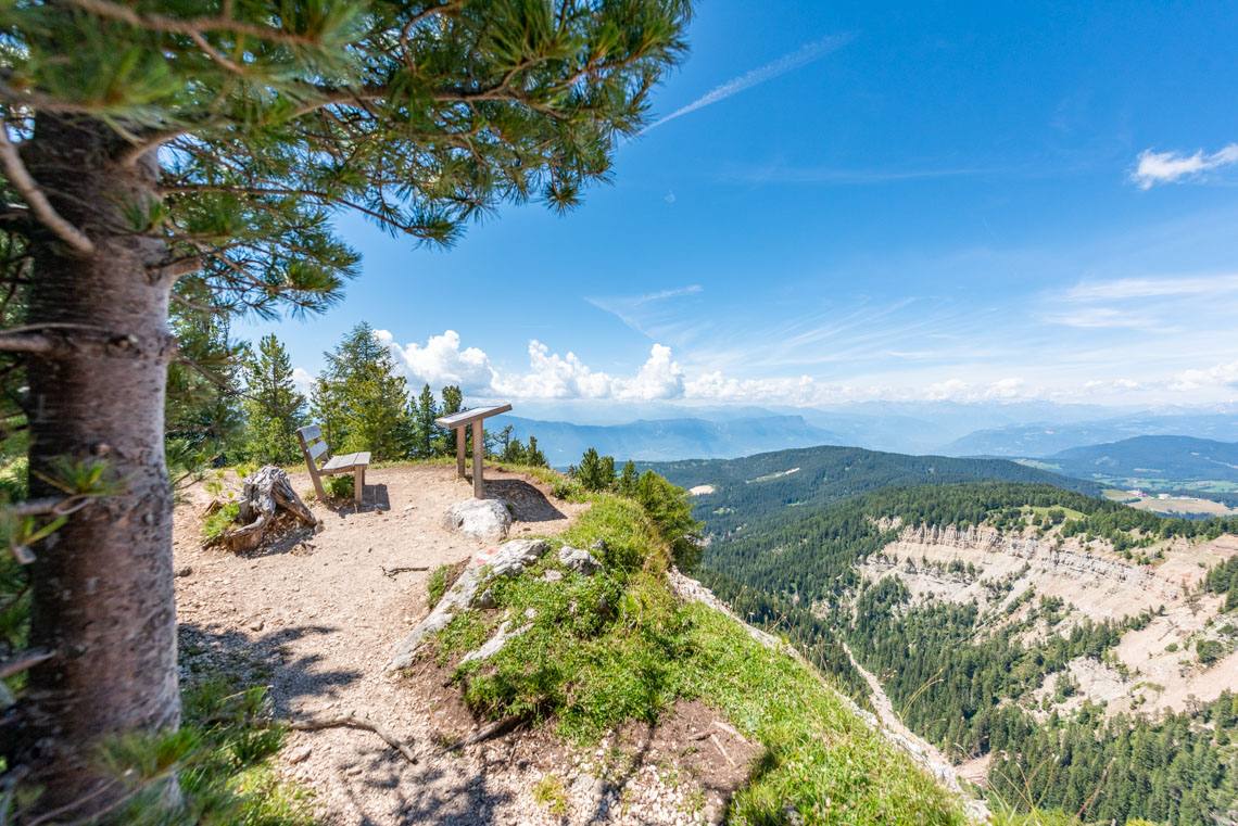
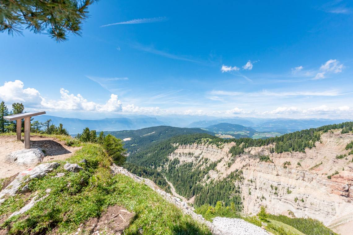
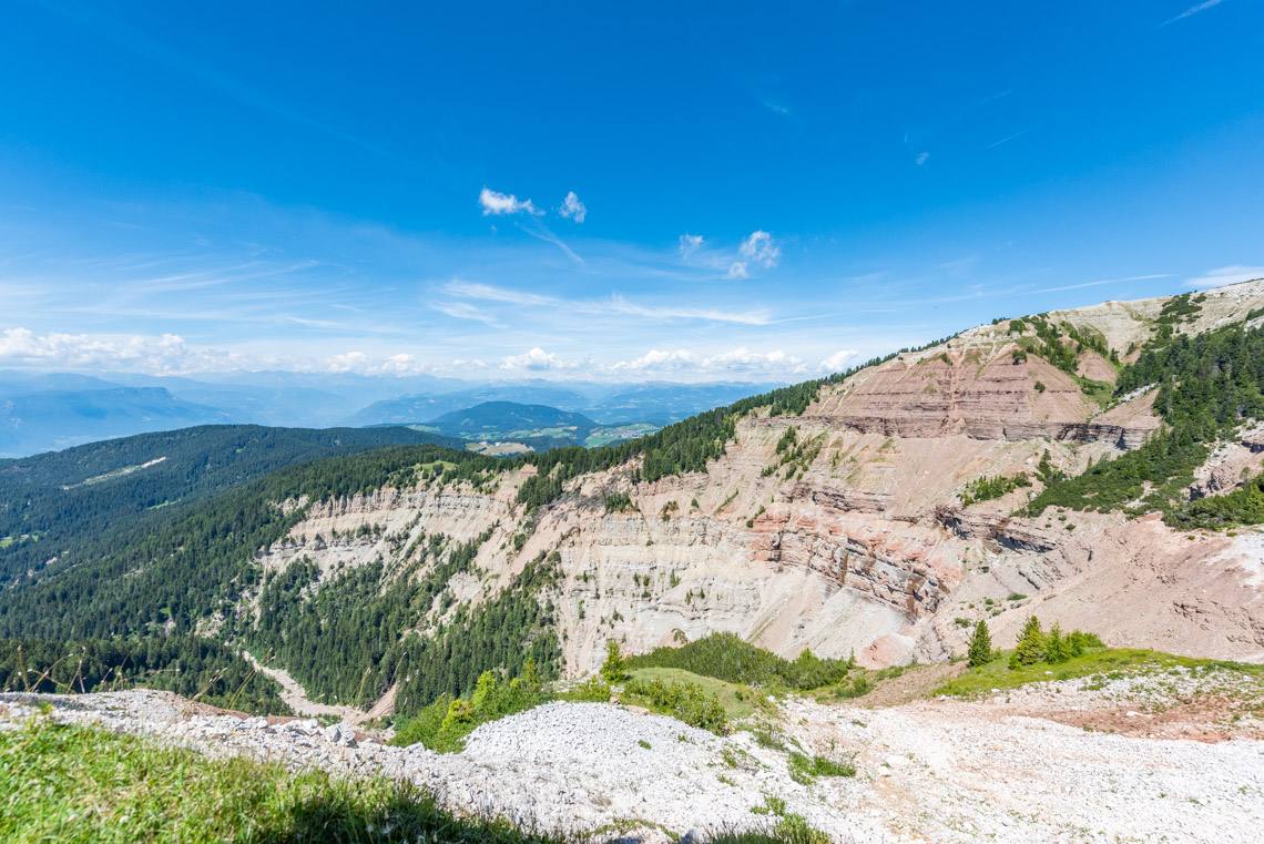
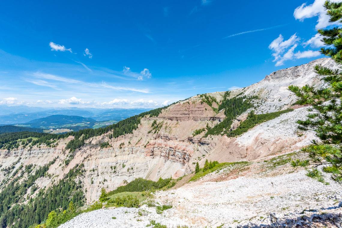
Panoramic trail from Jochgrimm to Gurndin Alm
Foto (50)
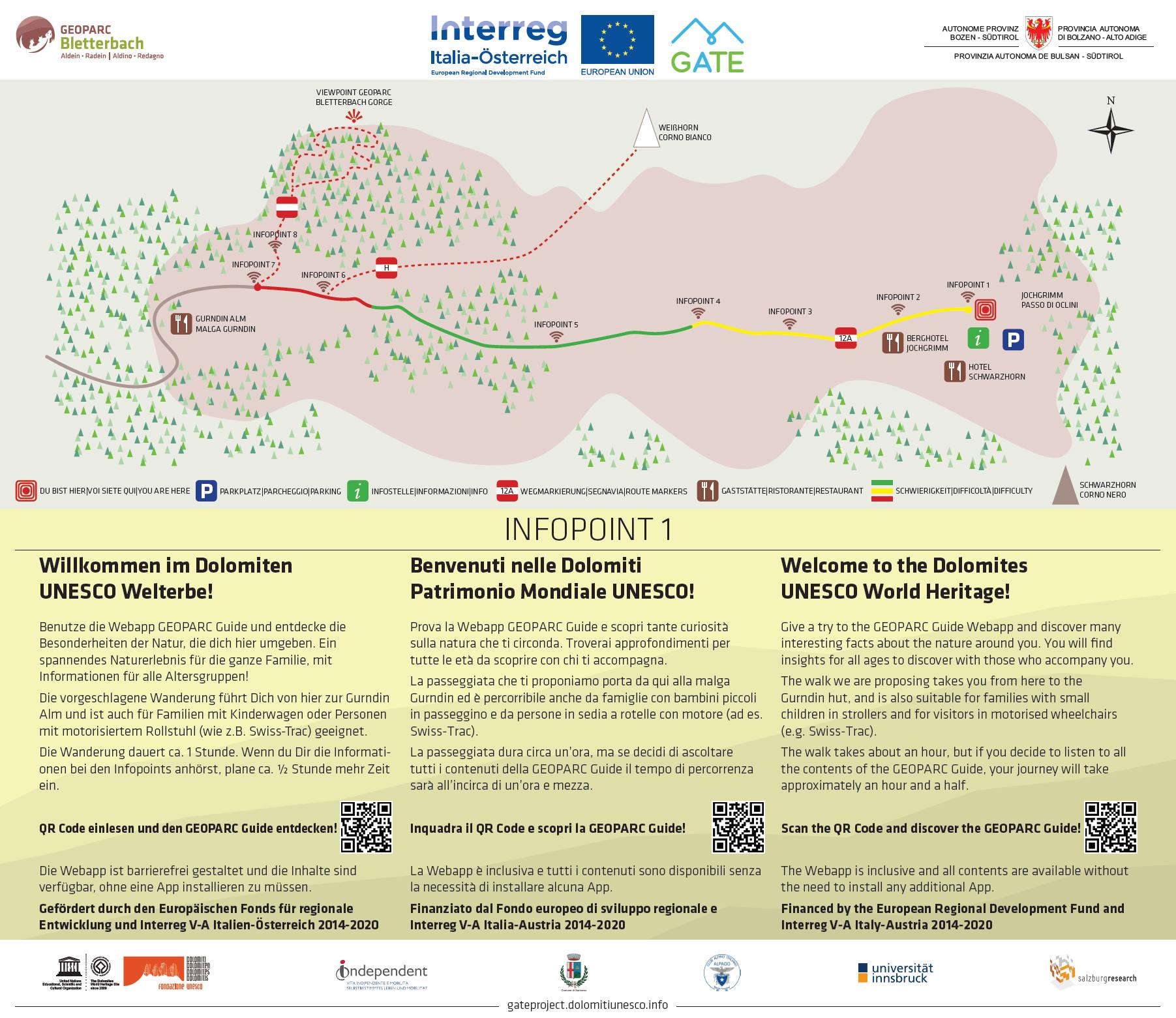
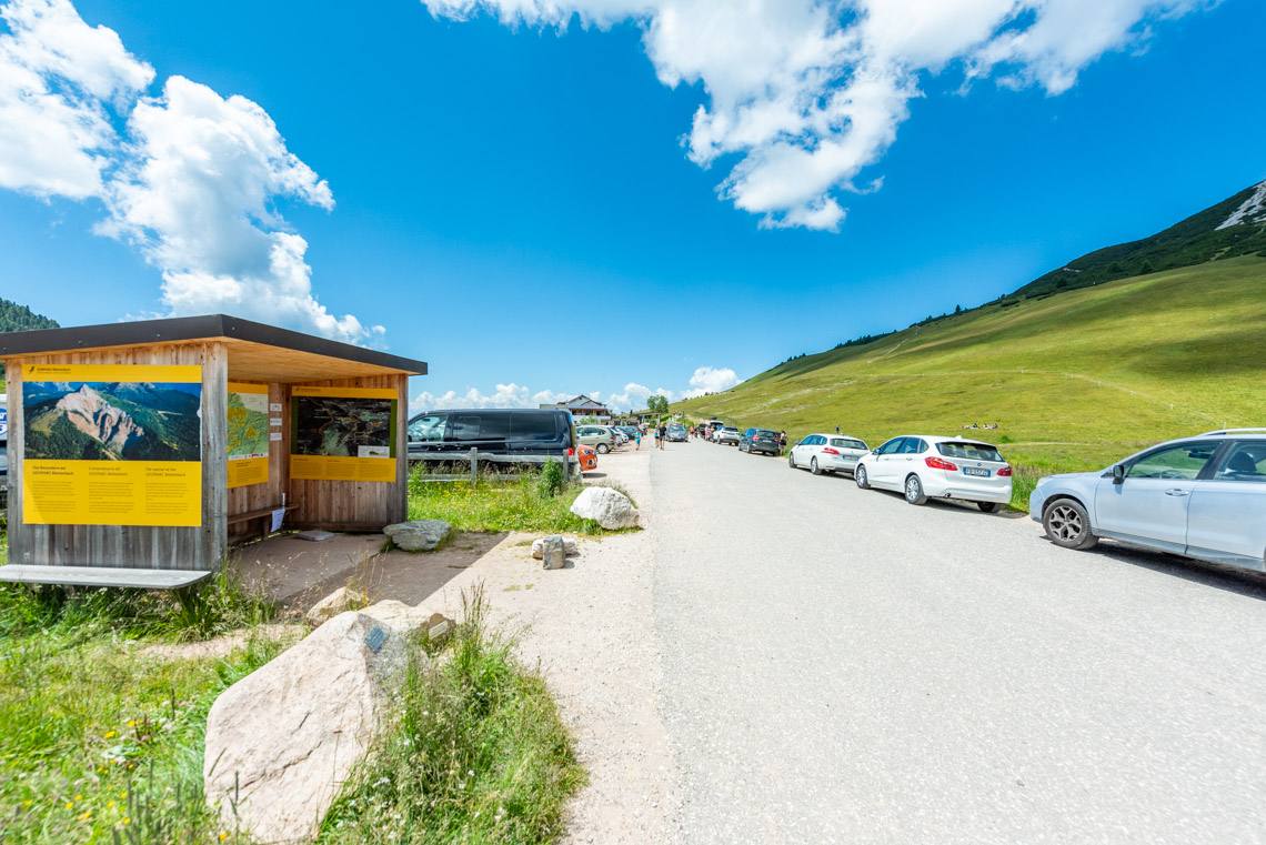
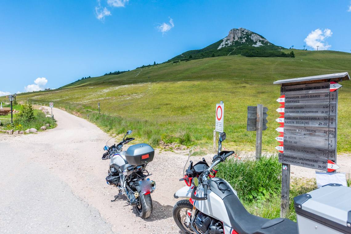
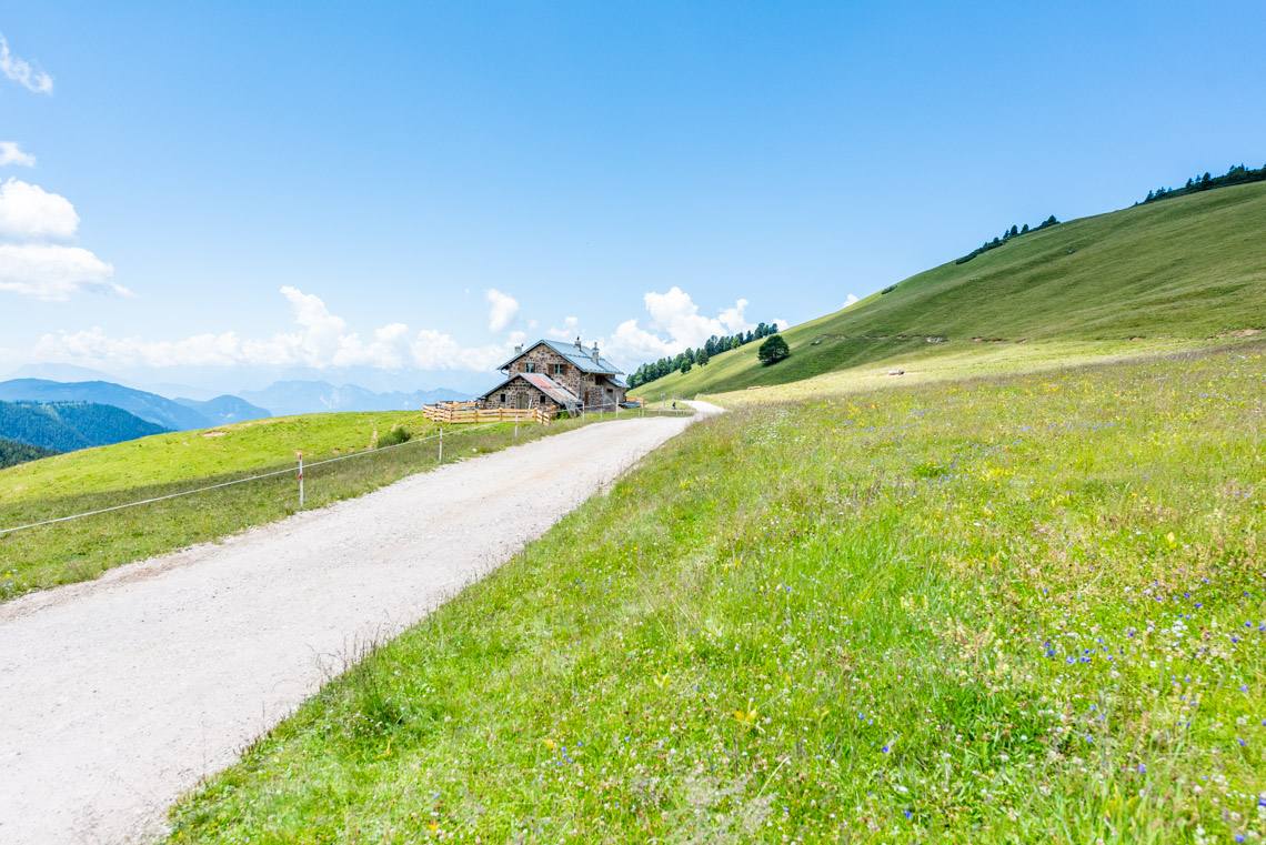
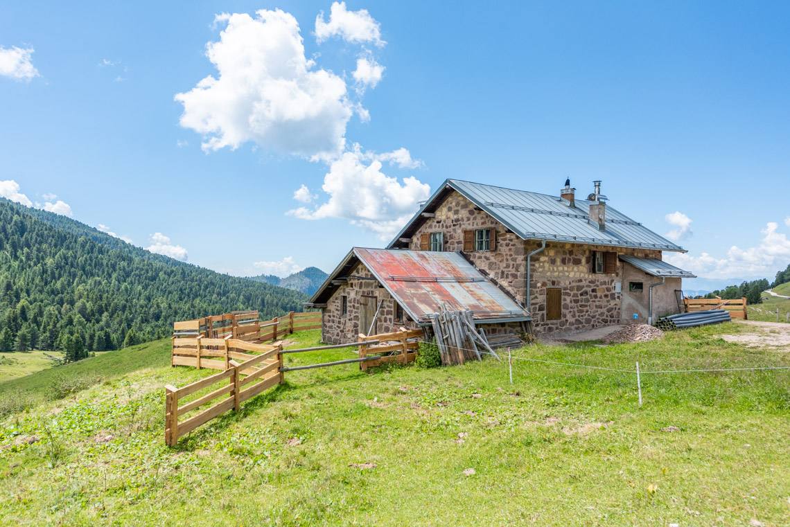
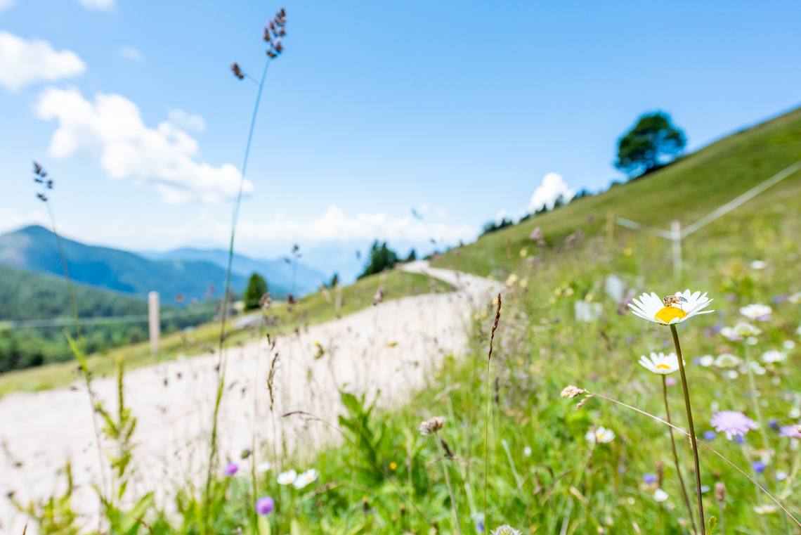
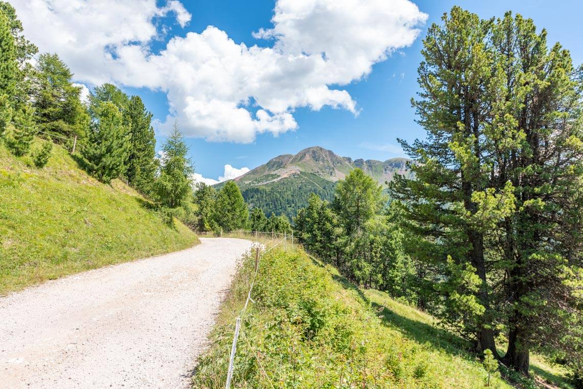
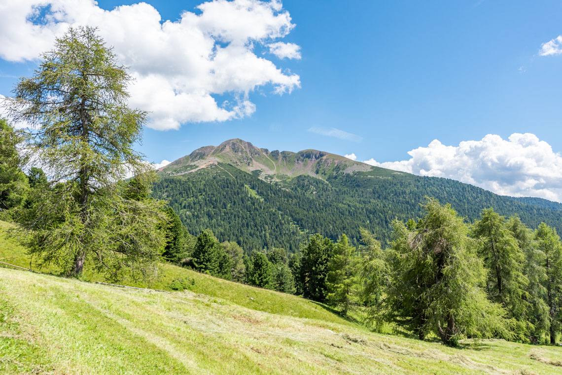
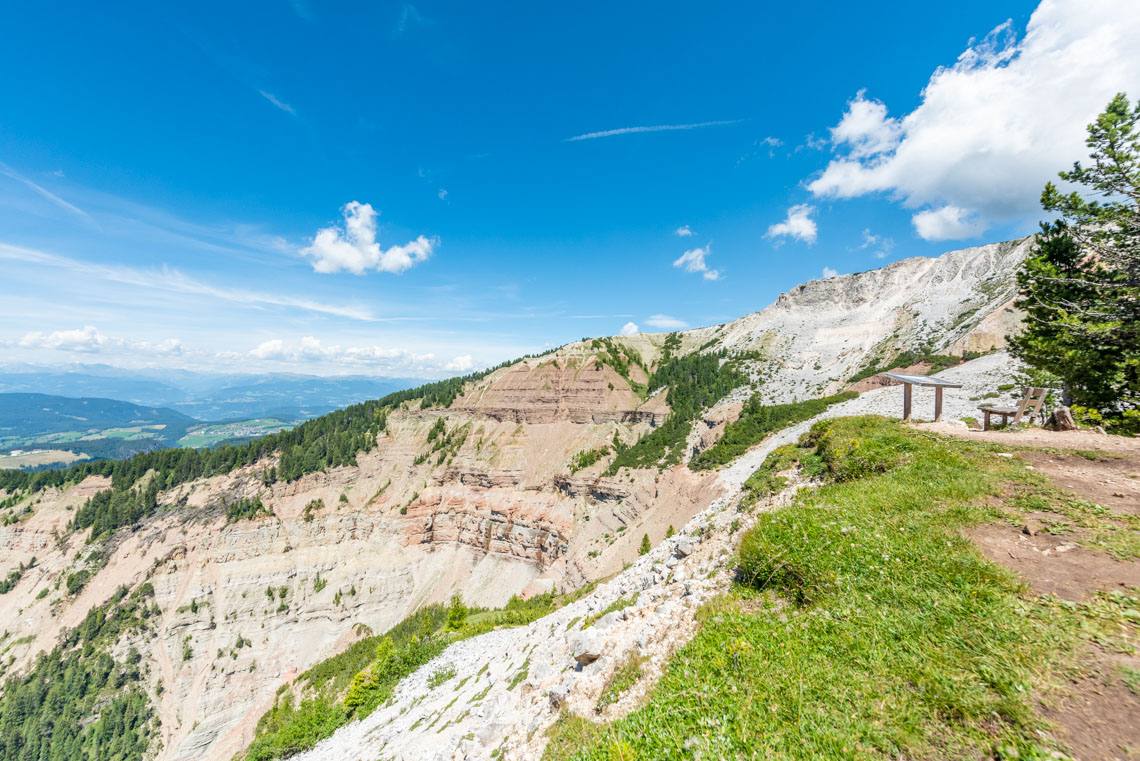
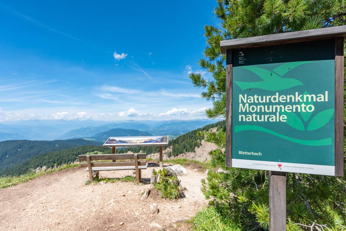
On this sunny hike from Jochgrimm to the Gurndin Alm, you can explore our new digital hiking guide, the "GEOPARC Guide", and discover lots of interesting facts about the natural world up here on Jochgrimm: an exciting nature experience for the whole family, with in-depth information for all age groups.
Accessibility
There are two ways to get to Jochgrimm:
Coming from the north:
From the A22 motorway exit at Bolzano North, follow the signs to the Eggental valley and continue towards the Lavazè Pass, where you turn right towards Jochgrimm (journey time from Bolzano North is around 40 minutes).
Coming from the south:
From the Neumarkt/Auer exit on the A22 motorway, we drive via Montan into the Fleimstal valley, continuing towards Cavalese, where, at the roundabout at the entrance to the village, we take the turn-off towards Varena and the Lavazè Pass, where we turn left towards Jochgrimm (Italian: Passo Oclini) (journey time from Auer: approx. 45 minutes).
Description
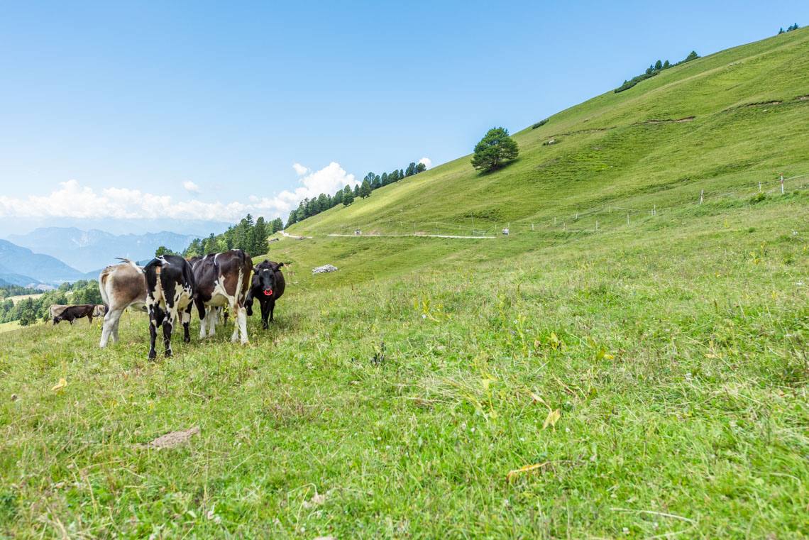
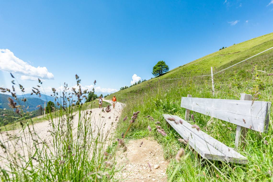
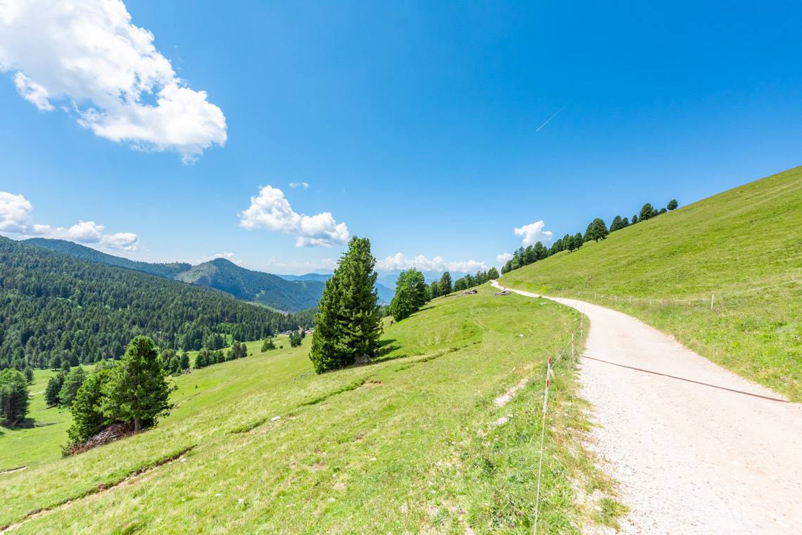
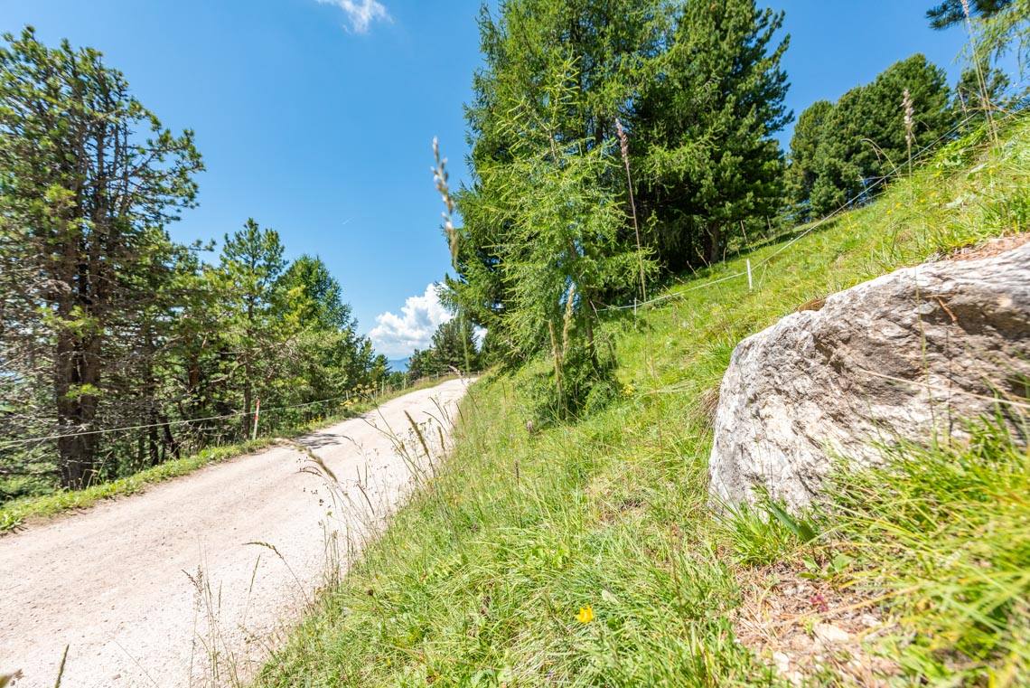
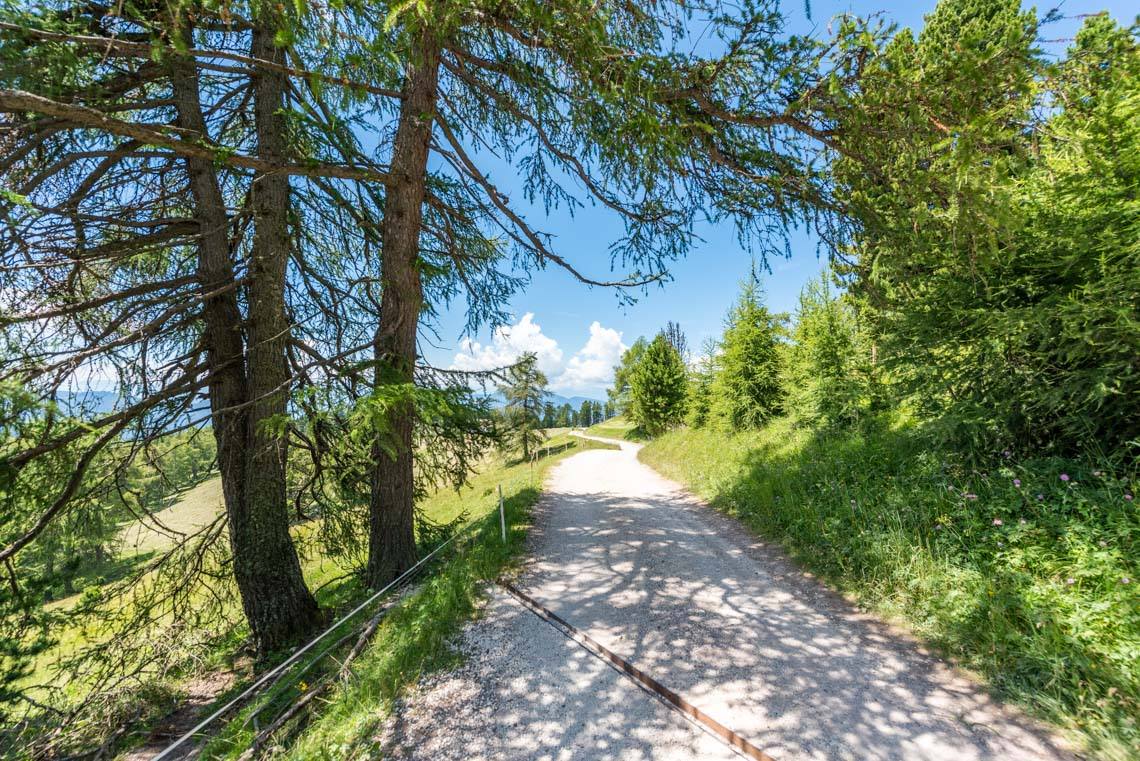
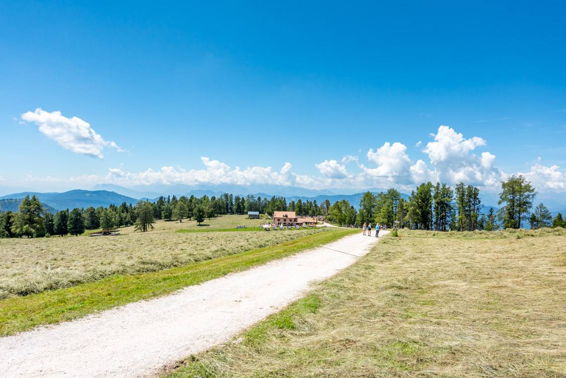
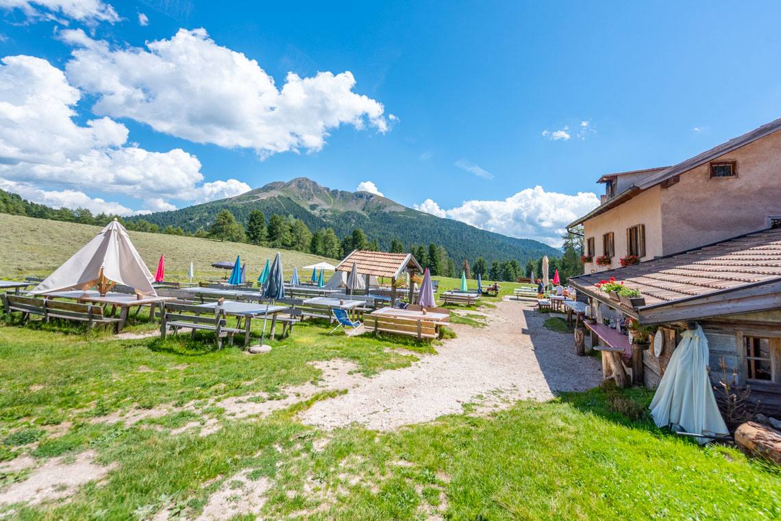
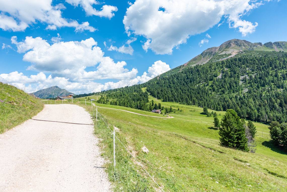
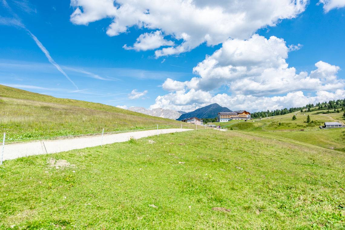
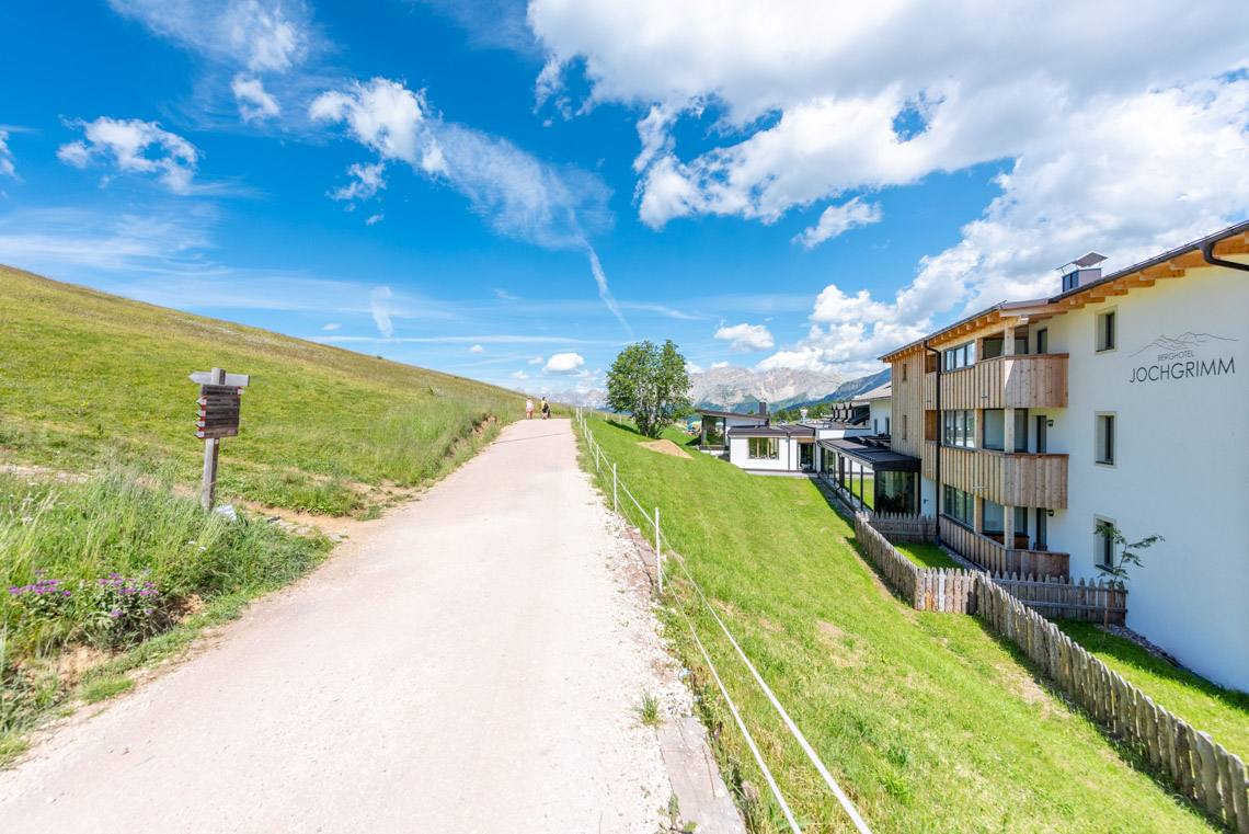
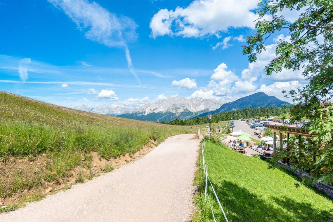
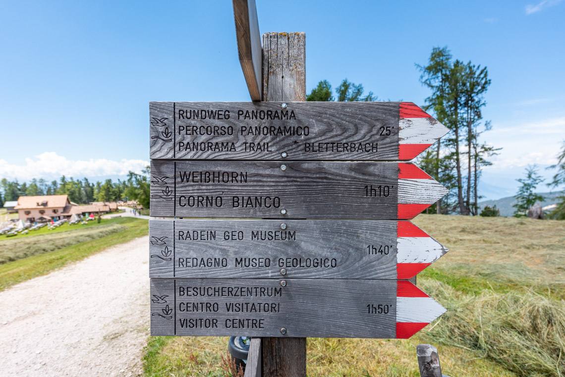
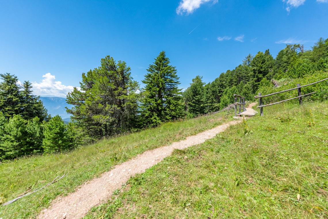
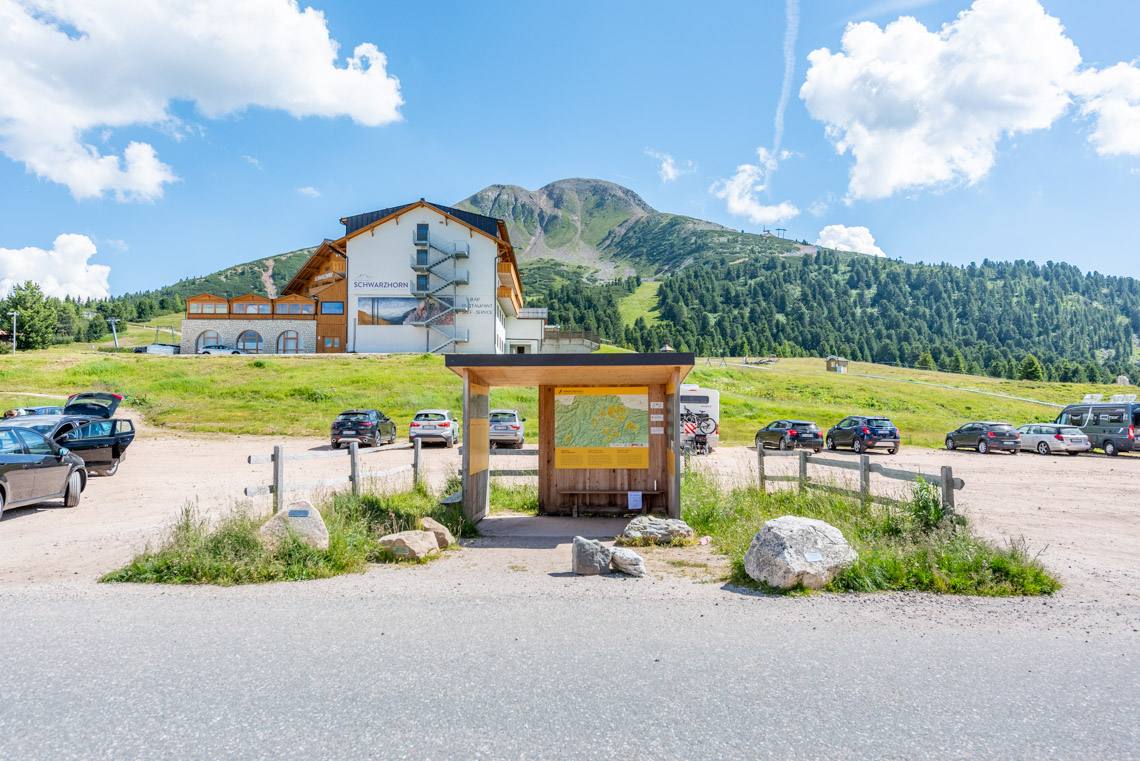
The suggested walk starts at the information kiosk in the Jochgrimm car park (GATE Project information board). From there, seven further digital information points with QR codes guide us to the Gurndin Alm, which serves refreshments. The gentle alpine path is also suitable for families with pushchairs and people using motorised wheelchairs (such as Swiss-Trac):
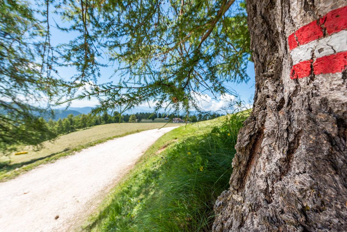
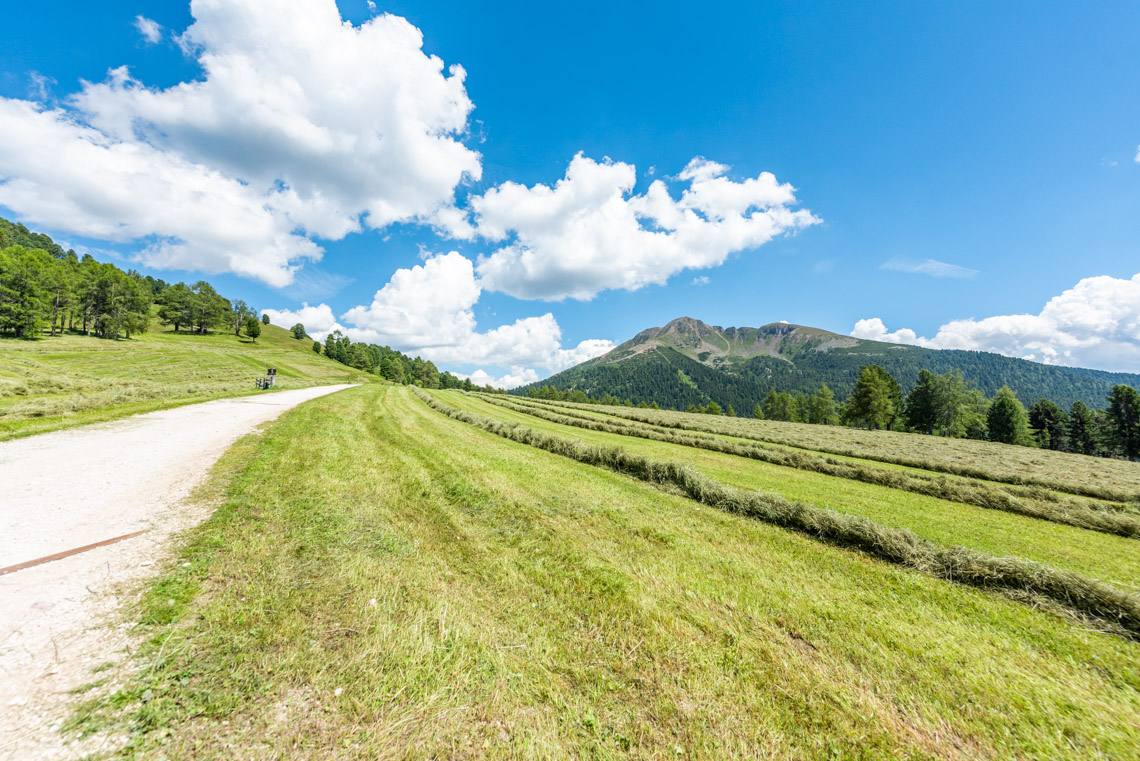
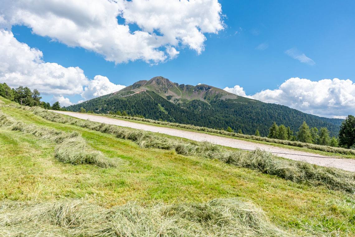
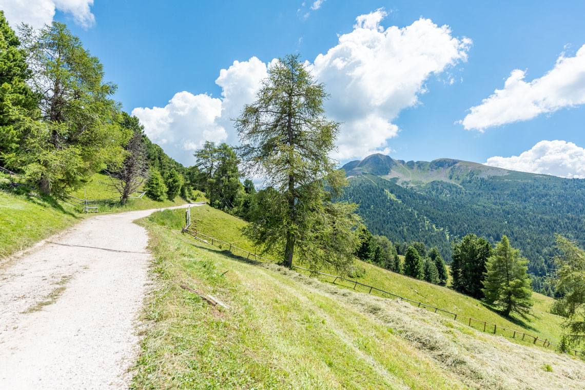
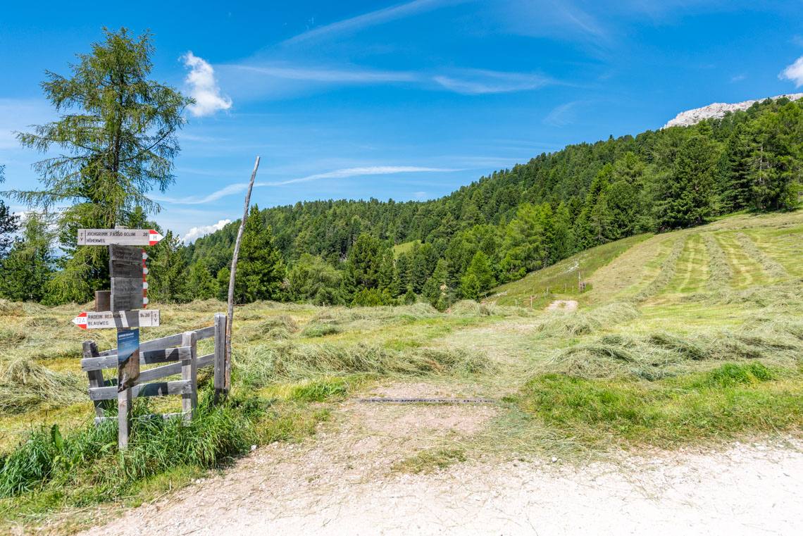
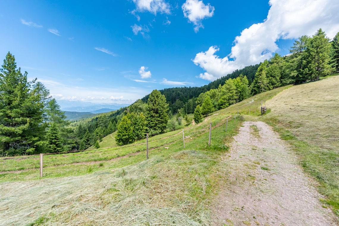
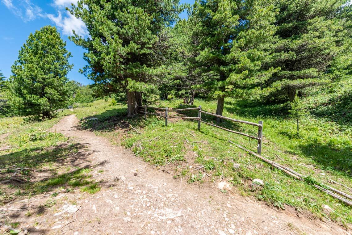
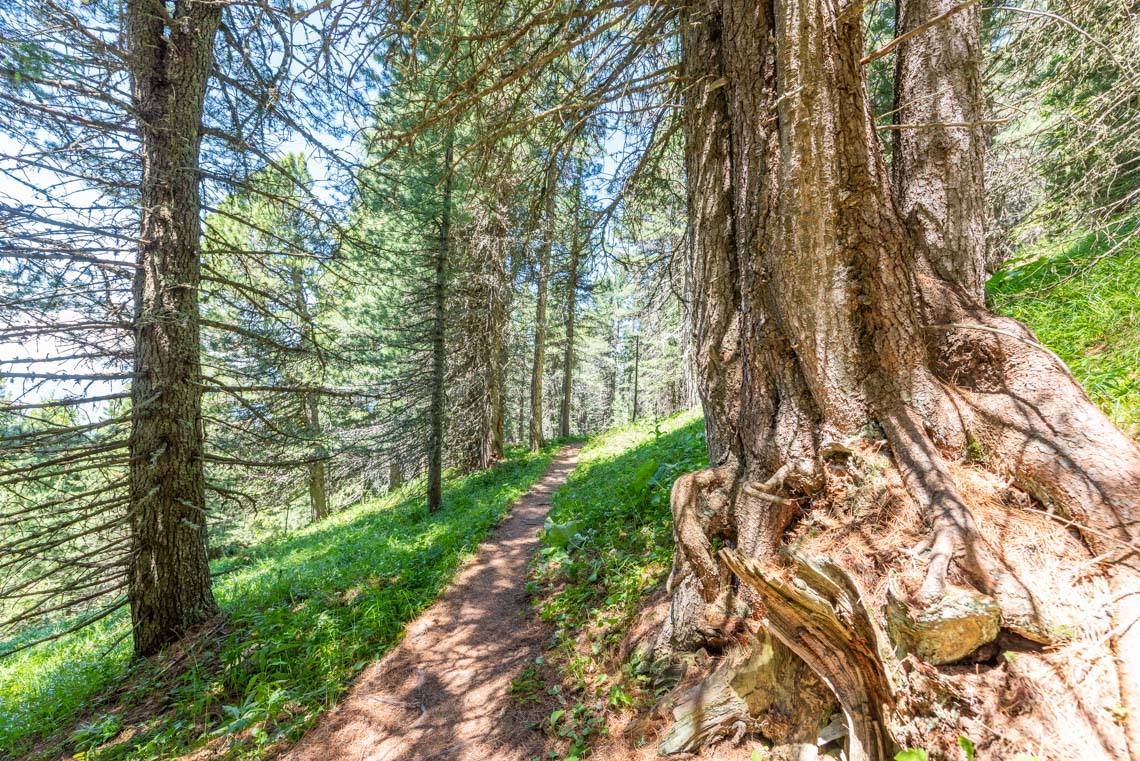
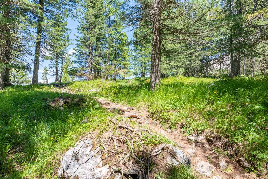
The trail runs entirely along a wide, gravel-surfaced forest track with only moderate gradients. The final section down to the alp (around 300 m), however, has a gradient of 12–15%. We then return to our starting point via the same route. The total walking time is just under an hour, but if you listen to all the information at each information point, the hike takes about 1.5 hours.
The Gurdin Alm has a large sun terrace. The dining room and toilets, however, are not wheelchair accessible.
The hiking trail from Jochgrimm to the Gurndin Alm has been equipped with a digital hiking guide as part of the Interreg GATE project:
The free web app "GEOPARC Guide" is available in three languages (German, Italian, English) and features an inclusive, accessible, responsive web design (an easy-to-understand tutorial to introduce the web app, adjustable font size, accessible page navigation, podcast audio content, text-to-speech function, in-depth topics for adults and children, and content in LIS sign language for people with hearing impairments).
The GATE project – Granting Accessible Tourism for Everyone (ITAT2034) – is a collaborative initiative aimed at promoting cross-border cooperation and was funded by the European Regional Development Fund and Interreg Italy-Austria V-A 2014–2020.
Information about the walk
Suitable for:
Famiglie con passeggini, anziani e persone su sedia a rotelle motorizzata
Road surface:
Strada forestale con fondo in ghiaia
Bars/Restaurants:
Gurndinalm, Hotel Schwarzhorn, Berghotel Jochgrimm
Public transport:
Linea di autobus 184 (Weissenstein - Petersberg - Deutschnofen - Jochgrimm - Obereggen - Birchabruck - (Carezza) - Bolzano)
WC:
Sun/Shade:
Escursione in malga prevalentemente soleggiata