Alpine pasture walk in Deutschnofen
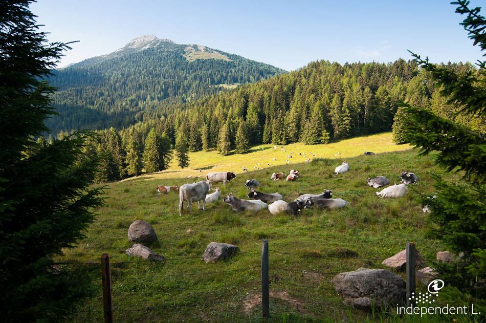
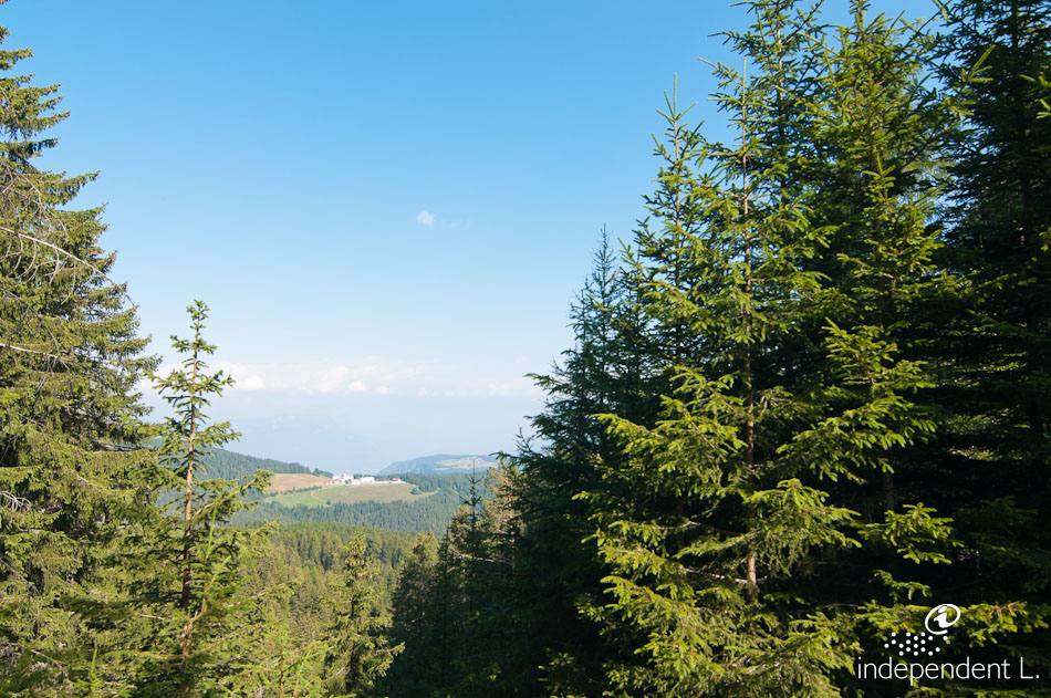
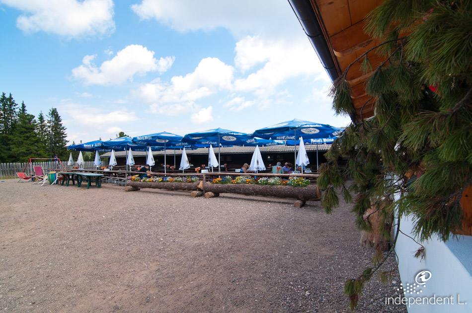
The trail winds through the forest over the gentle slopes of the Regglberg, at the foot of the Weißhorn, offering magnificent views of the Rosengarten, the Latemar and the Brenta range. There are places to stop for refreshments at the alpine pastures.
Accessibility
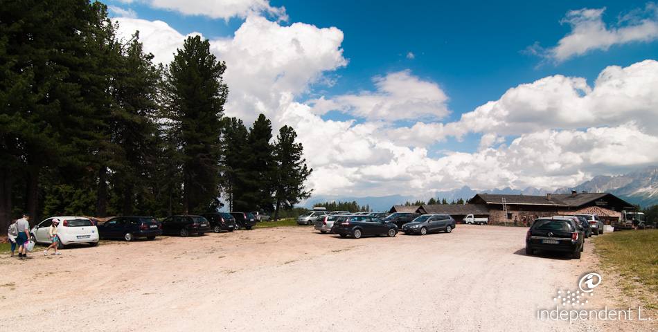
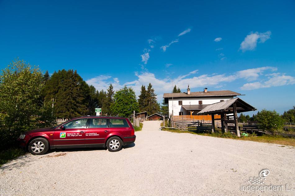
From Bolzano through the Eggental valley to Birchabruck. Here we turn right towards the Lavazè Pass and then right again towards Deutschnofen. At the junction at the entrance to the village, we turn left into the industrial estate and drive up a steep, tarmac road to the Laabalm, where we park.
Description
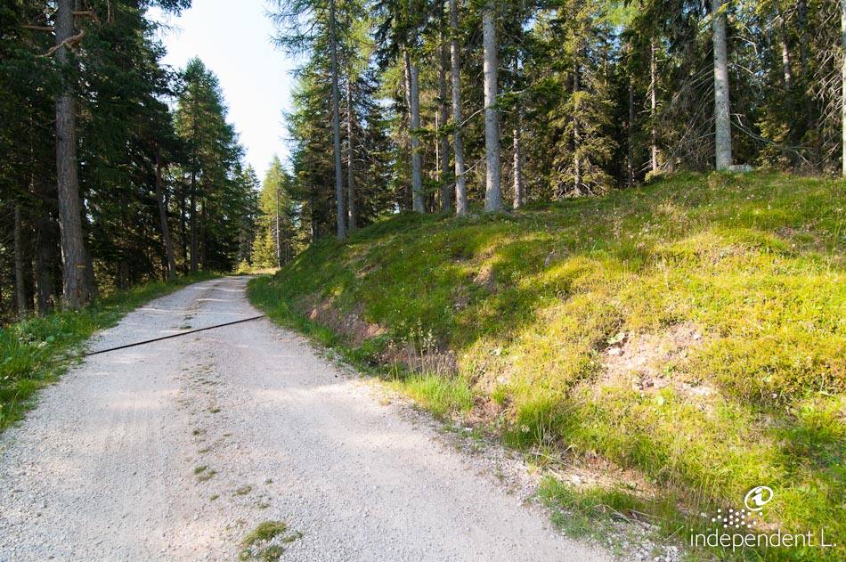
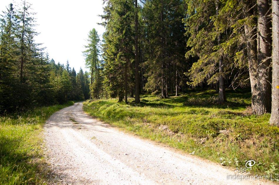
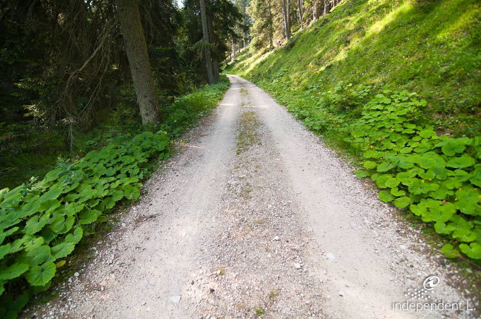
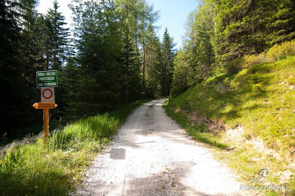
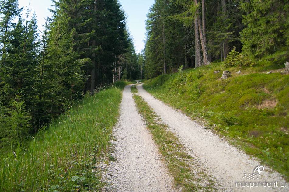
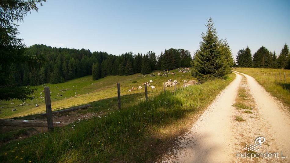
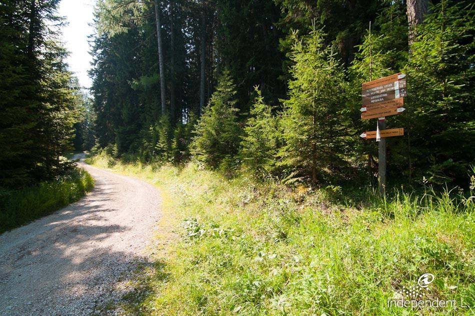
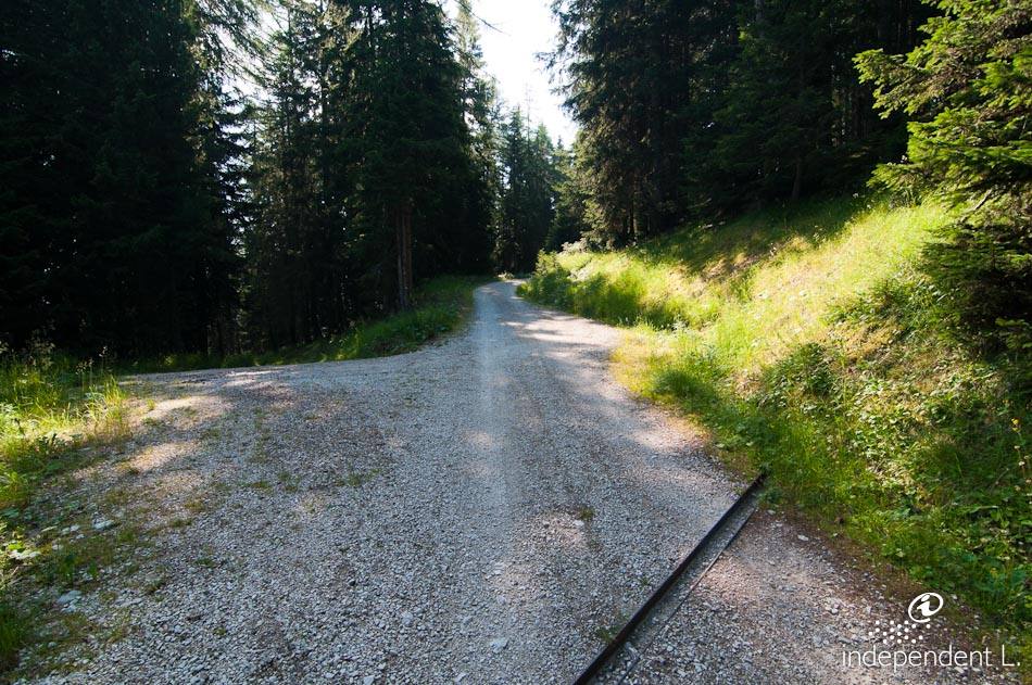
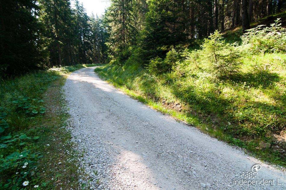
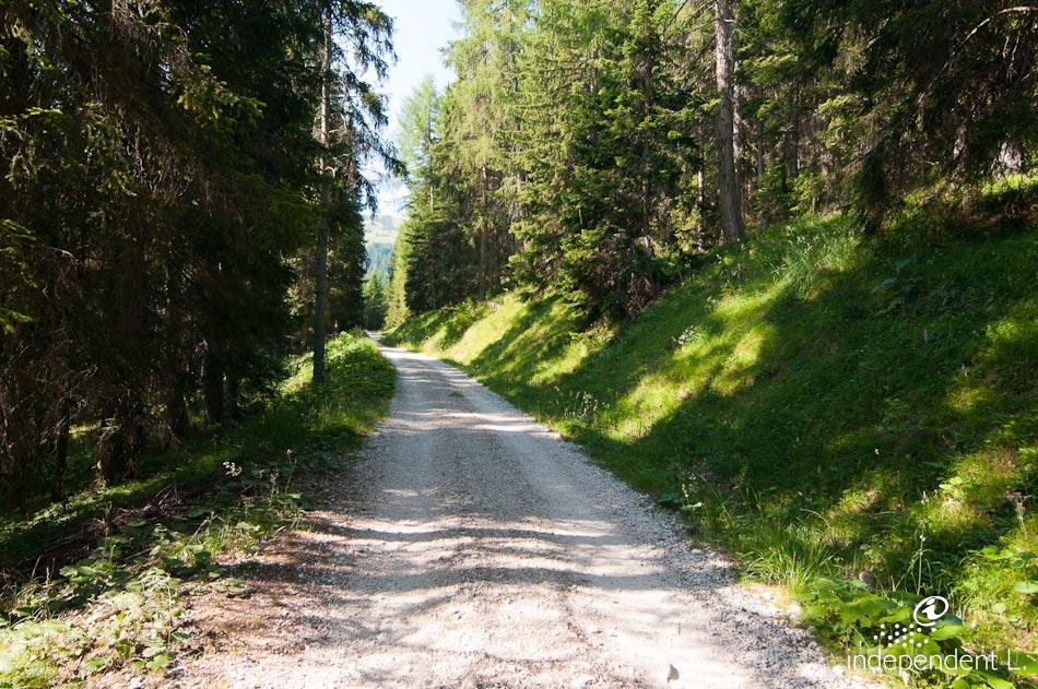
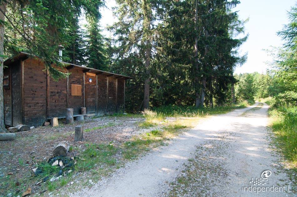
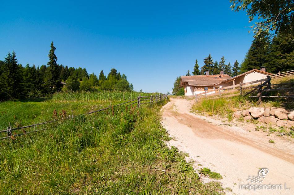
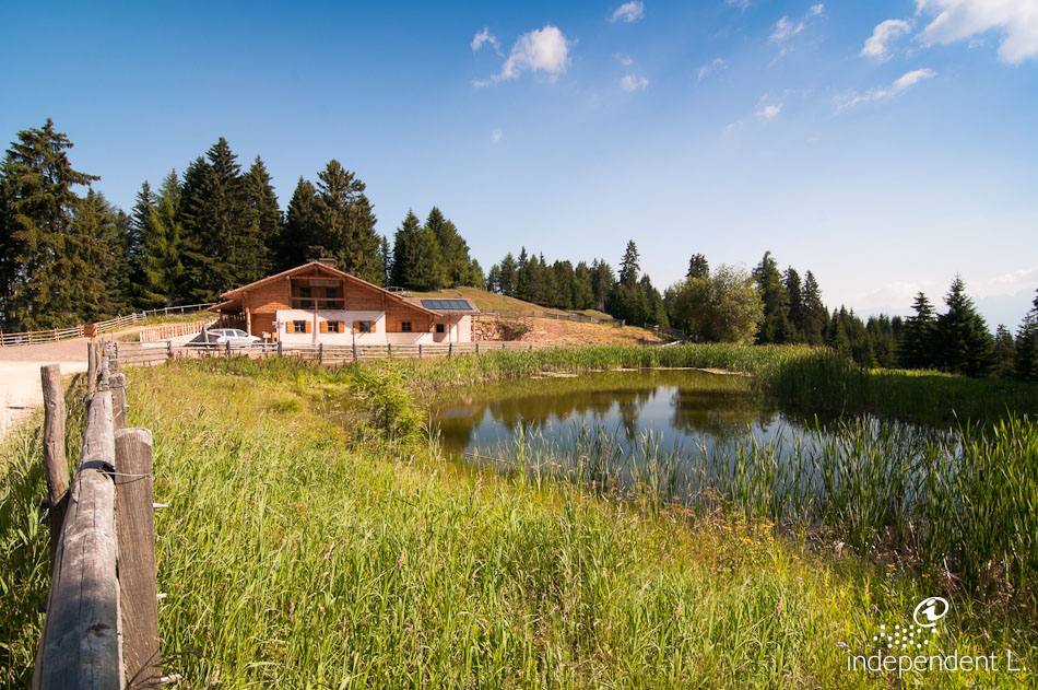
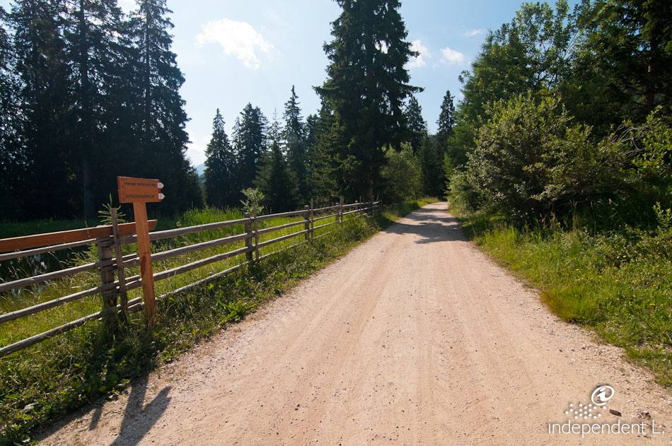
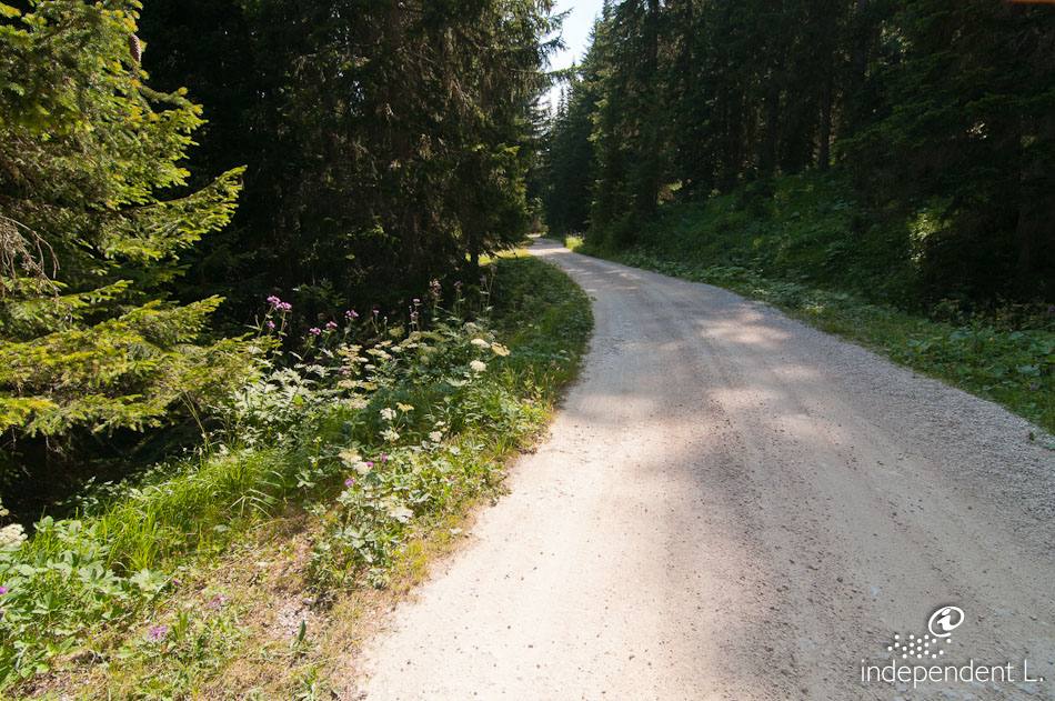
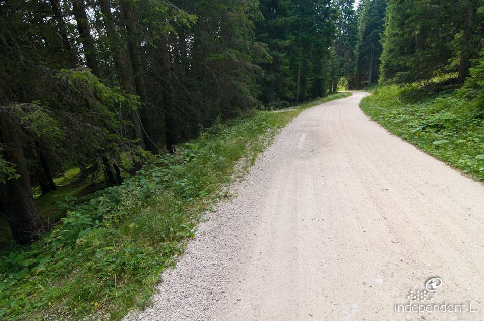
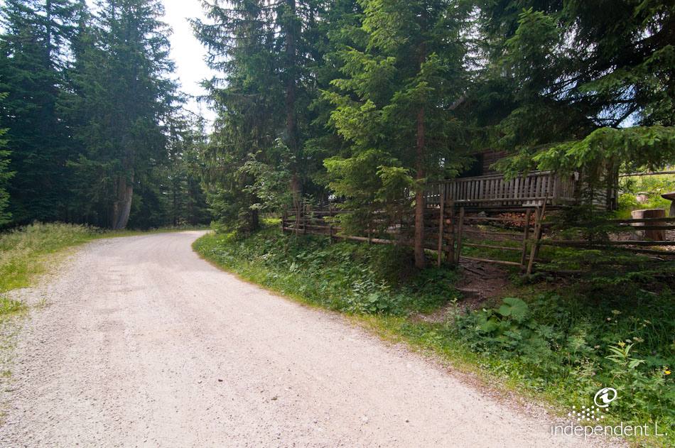
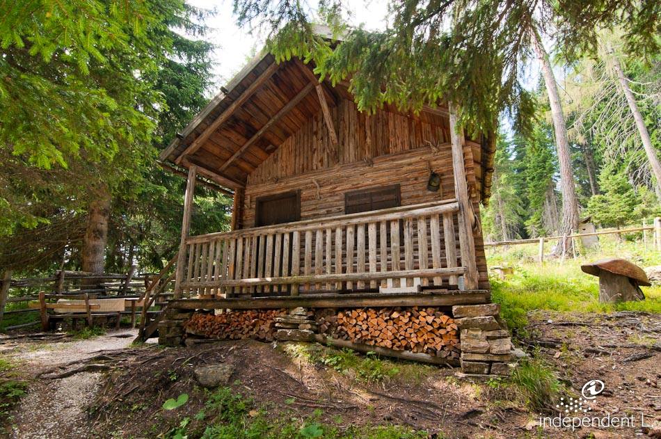
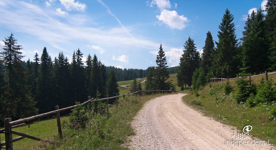
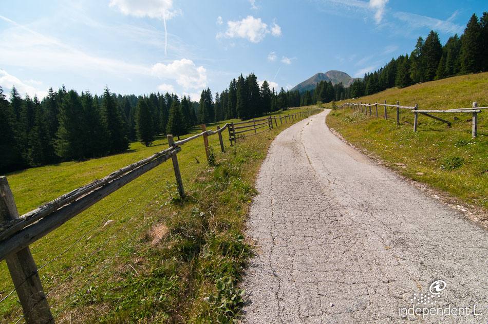
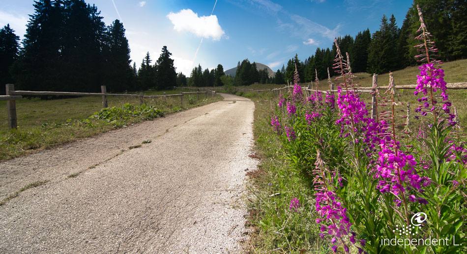
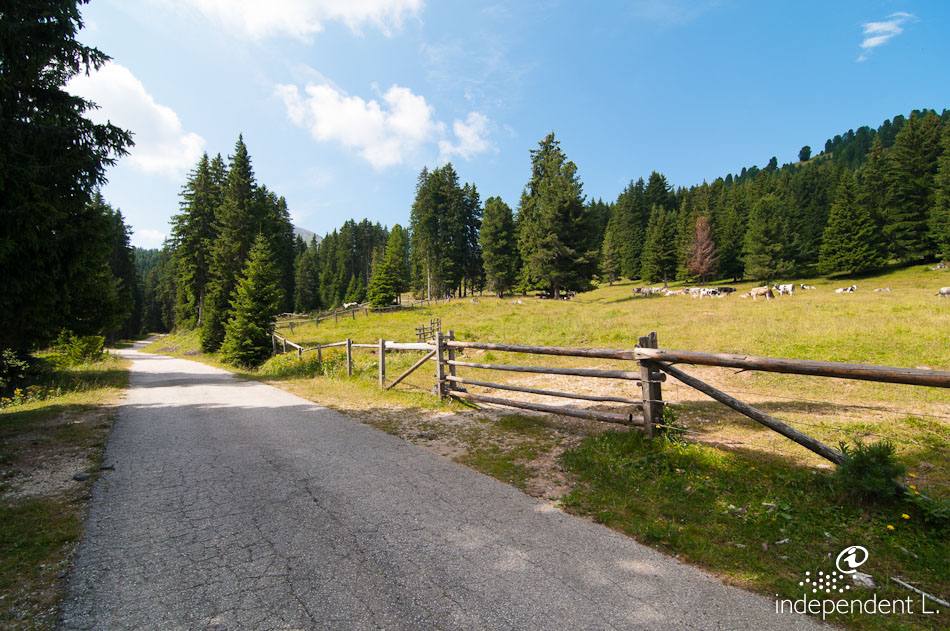
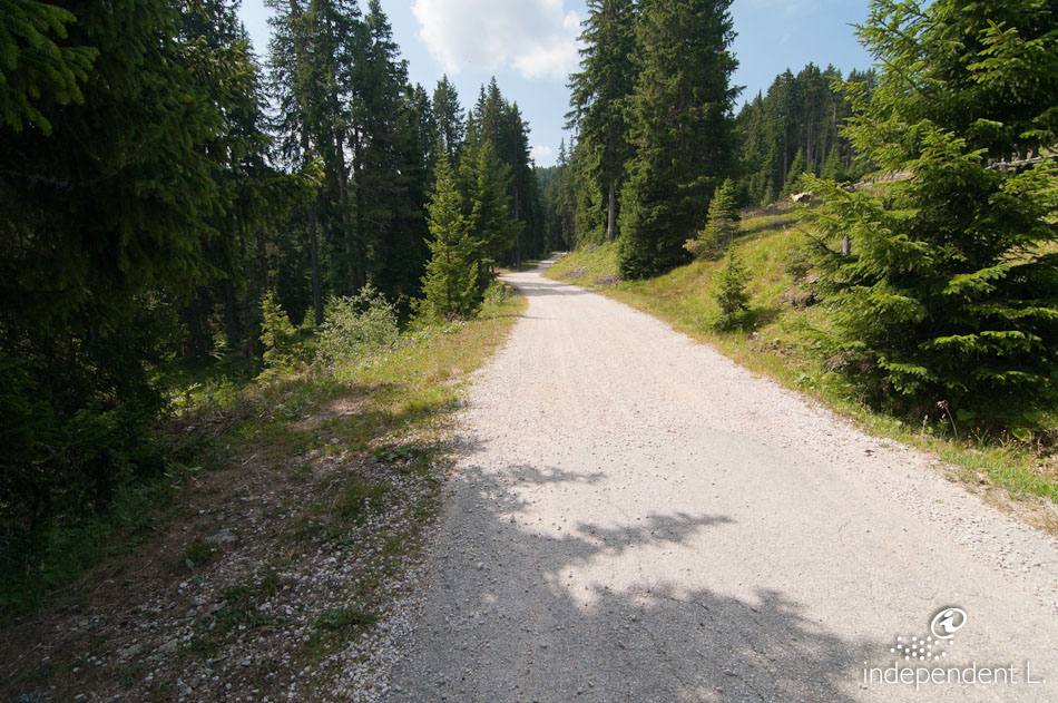
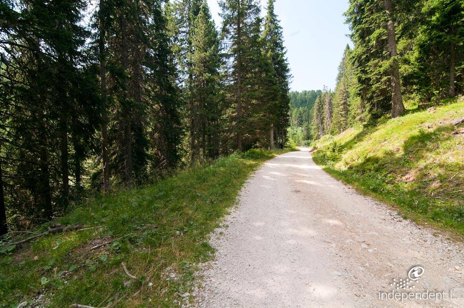
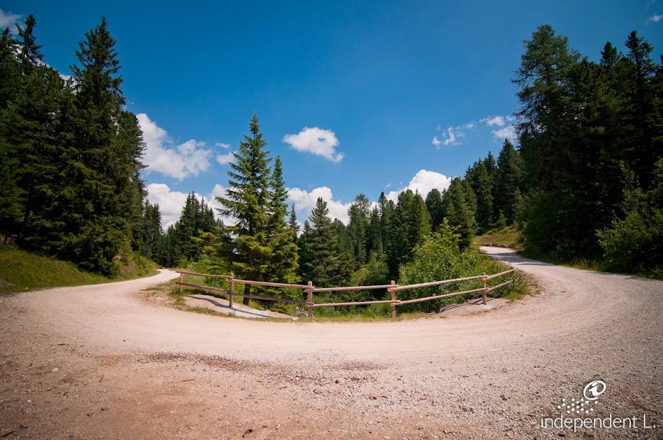
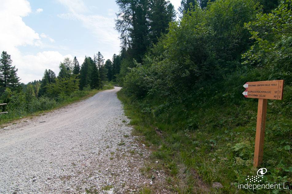
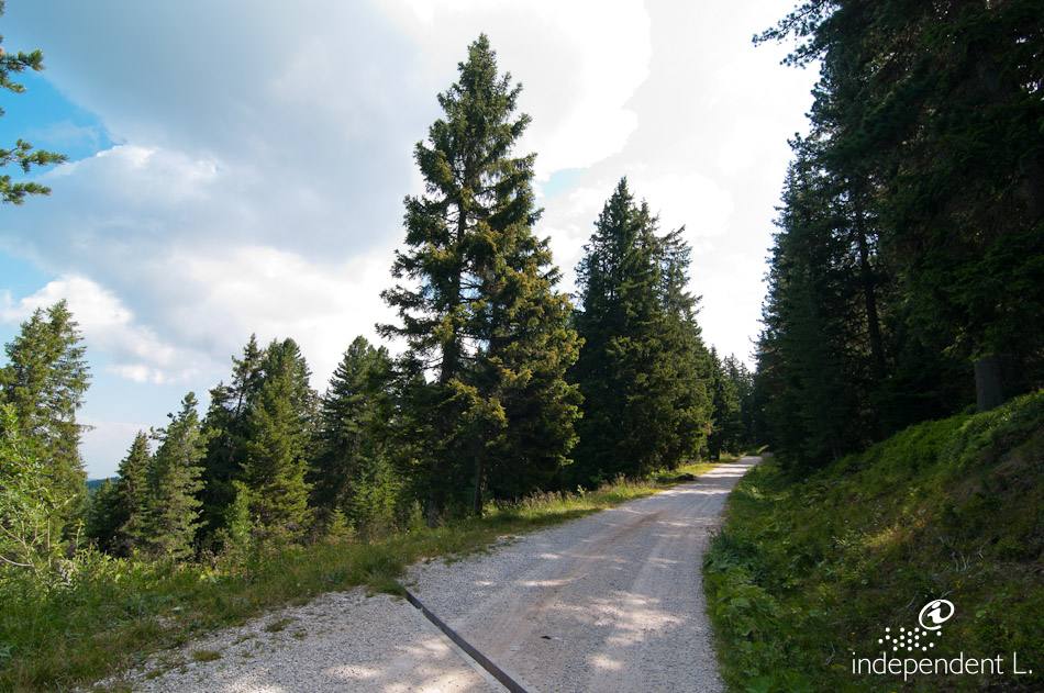
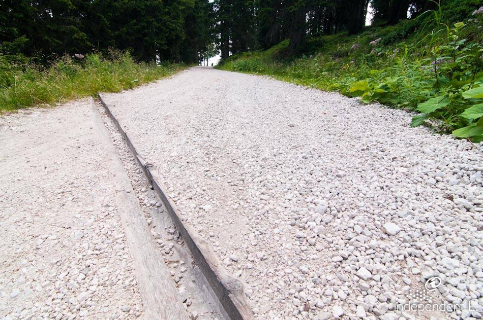
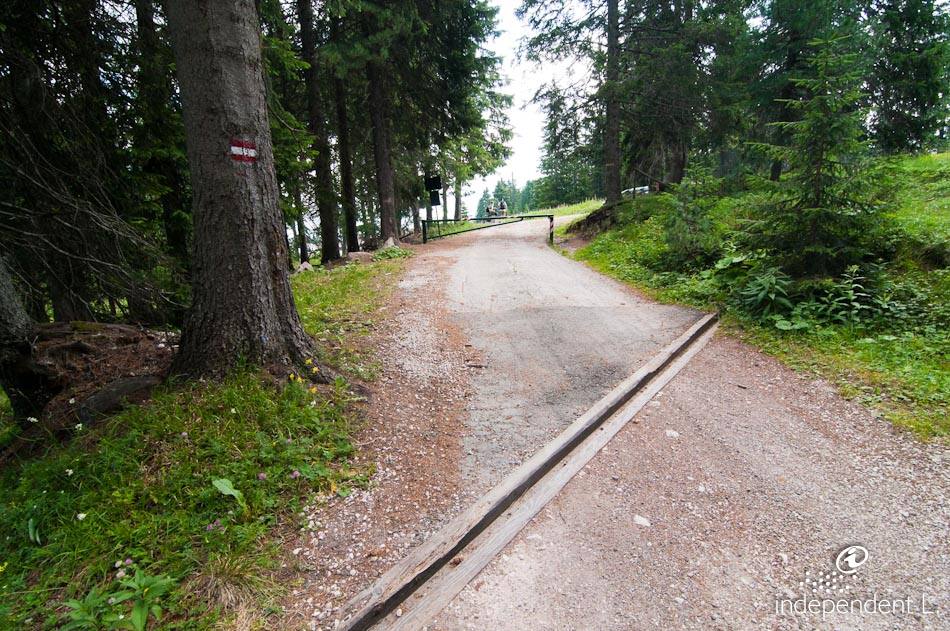
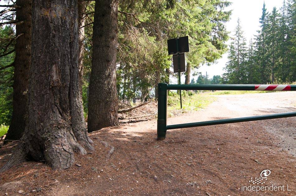
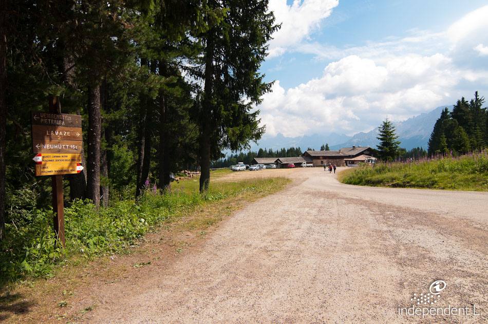
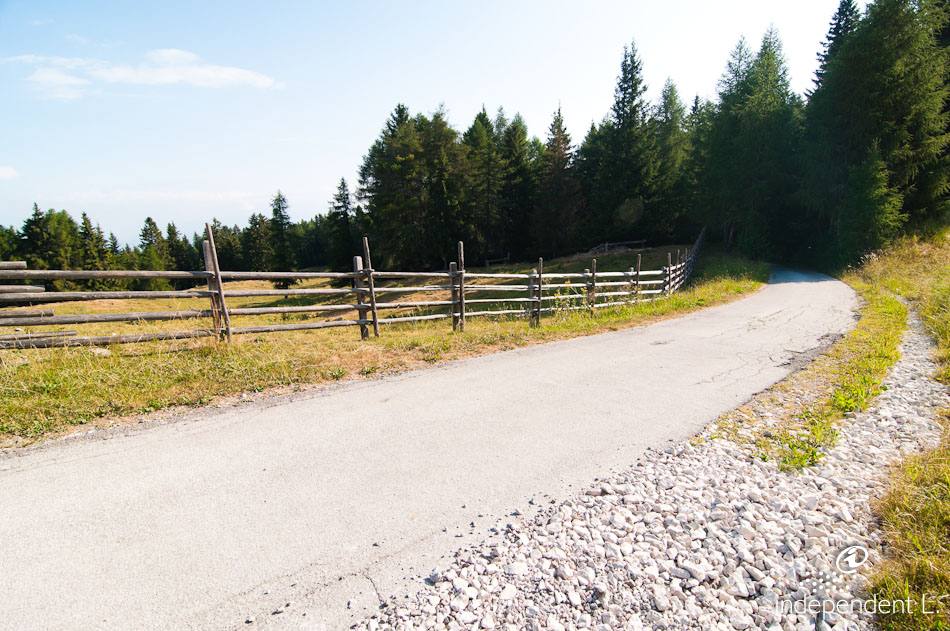
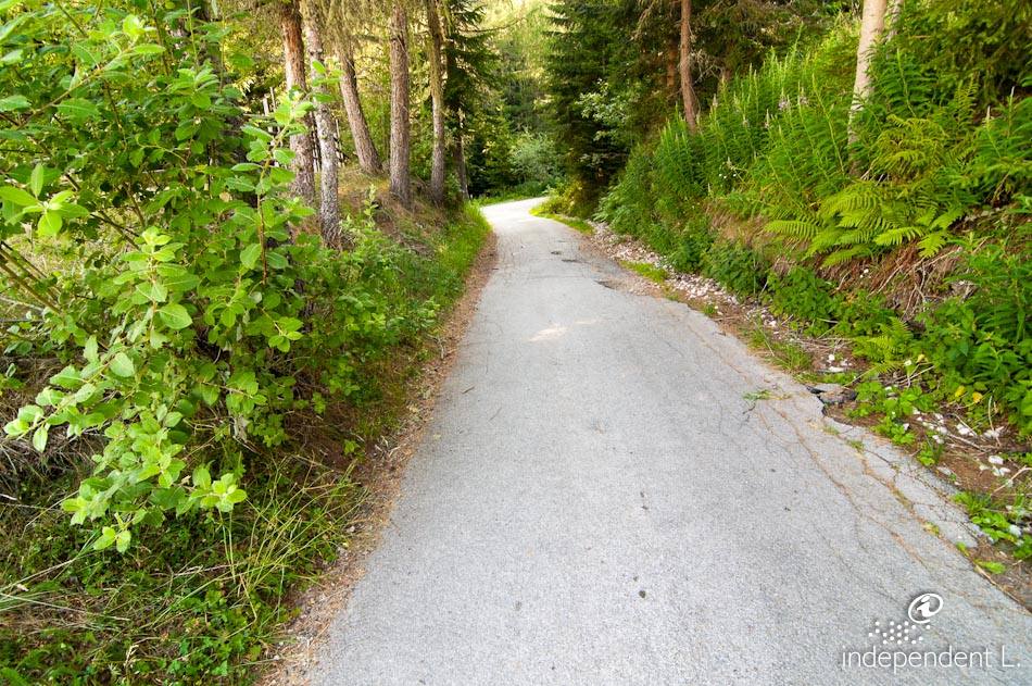
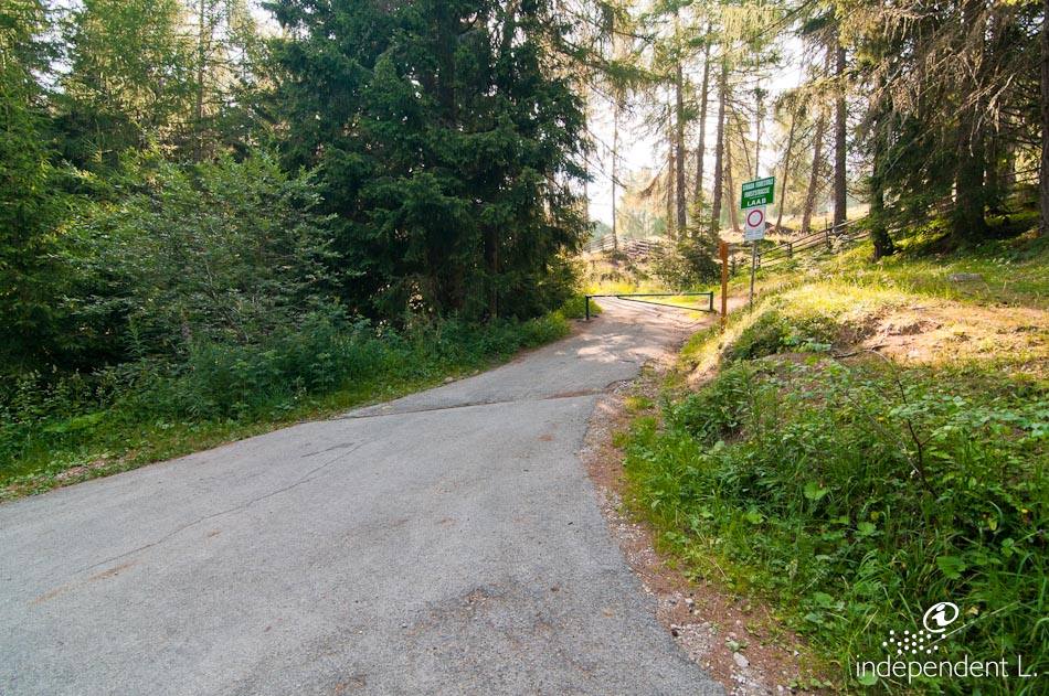
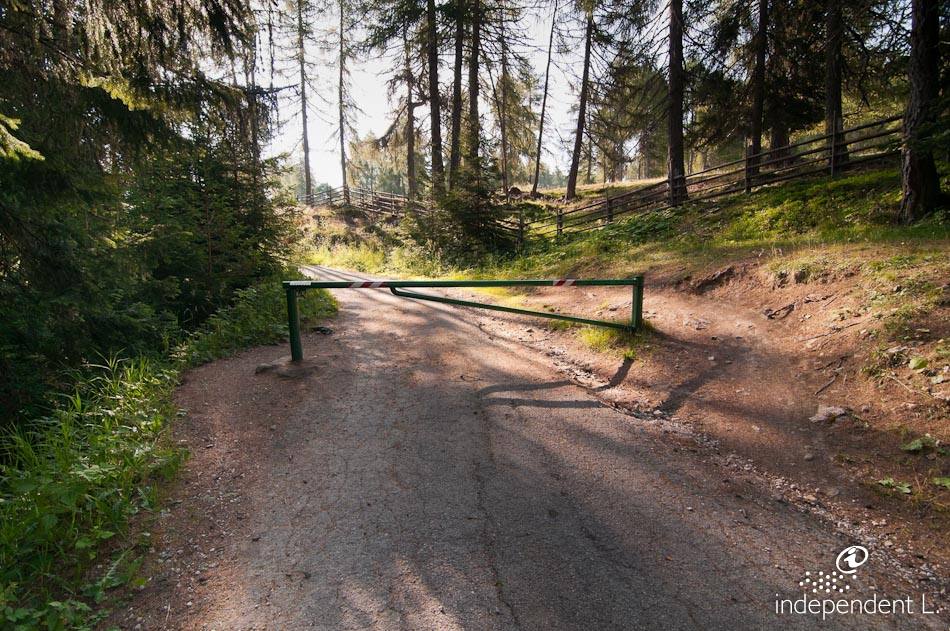
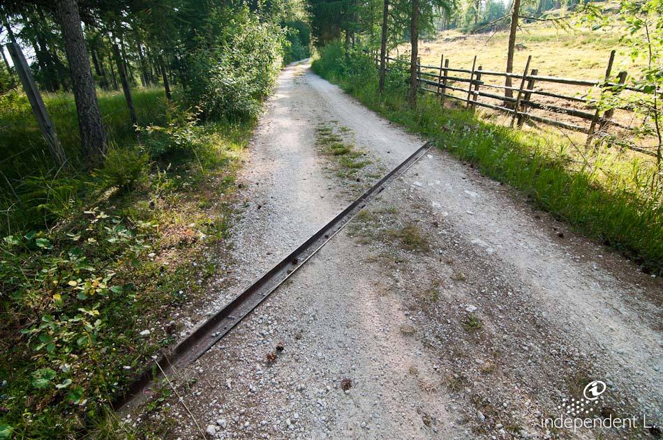
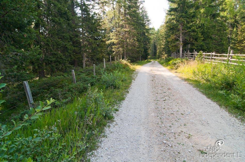
Starting from the Laabalm car park (1,652 m – accessible by car only during the summer months), we walk back a short distance along the tarmac road to the Laab forest track. The access is blocked by a forest barrier, but this can be bypassed with a little effort. The hiking trail is marked with signpost no. 2 “Neuhütt” and “Perlenweg”. The latter is a supra-regional hiking trail connecting the four holiday regions of Rosengarten Latemar, Deutschnofen, Welschnofen, Tiers and Steinegg. With a steady gradient (10–13%), the forest road leads eastwards over the gentle undulations of the Regglberg. Some sections of the path are a little bumpier due to stones and loose gravel. Shortly after a wide clearing, we reach a small rest area with a lovely view of the pilgrimage church of Maria Weißenstein. From here, the path (trail marker no. 1) climbs gently up to the saddle beneath the northern slopes of the Weißhorn, where the Neuhütt mountain pasture (1,791 m) is situated. At the fork by the pasture, we take the left-hand path (signpost no. 2 “Auerleger” and “Perlenweg”). This follows the terrain towards the east and runs almost flat on firm, smooth ground. After numerous bends through a dense spruce forest, the wide meadows of the Auer Leger (1,850 m) spread out before us. From here, the path climbs again (14% gradient on tarmac). The final short section up to the Auer Leger Alm (1,872 m) is somewhat bumpy, as the path consists of loose natural surface in the area of a wide hairpin bend. At the end of the road there is another forest barrier, which can be easily bypassed. This alp can also be reached by car or bus from the Lavazè Pass. The return to the Laabalm follows the same route.
senior citizens
families
mountain bikers
Neuhütt
Auer Leger Alm