Hike on the Rodenecker Alm
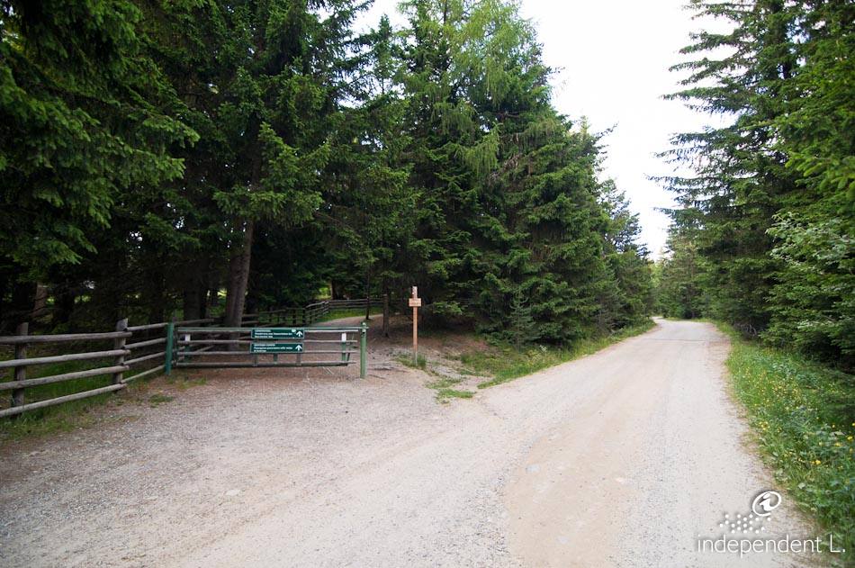
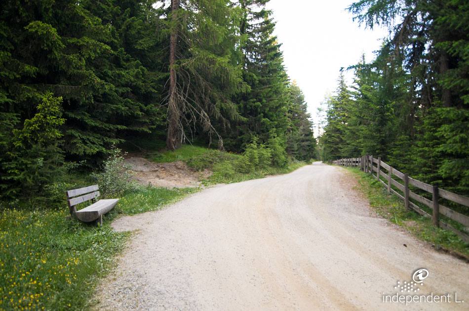
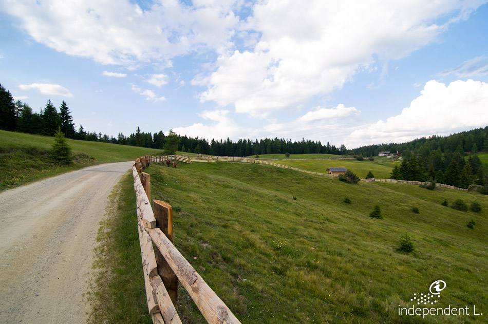
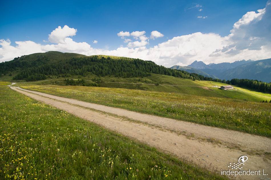
This pleasant walk takes you across the sun-drenched high plateau of the Rodenecker and Lüsner Alm and offers magnificent views of the vast Brixen basin, the Eisack Valley and the Dolomites (Peitlerkofel, Aferer and Villnösser Geisler).
Accessibility
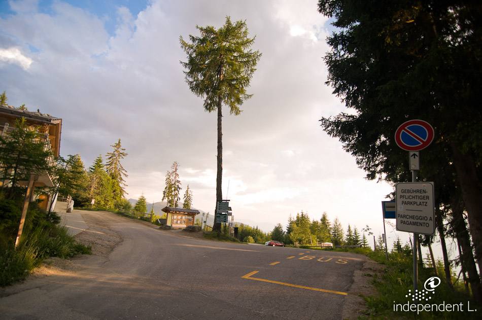
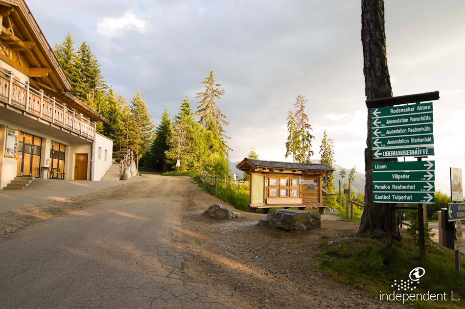
From Bolzano, take the A22 Brenner motorway, exit at Brixen-Nord, and continue along the Pustertal state road to Mühlbach, where we turn right onto the provincial road towards Rodeneck. Driving up to the hamlets of Gifen and Nauders, we follow the signs to the Rodenecker Alm and finally reach the Zumis car park (1,750 m).
Description
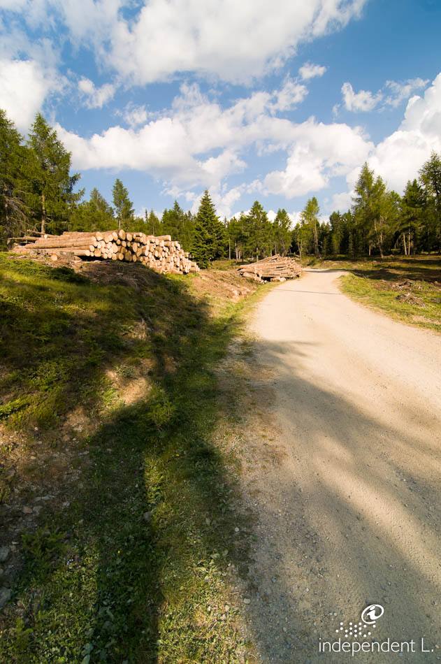
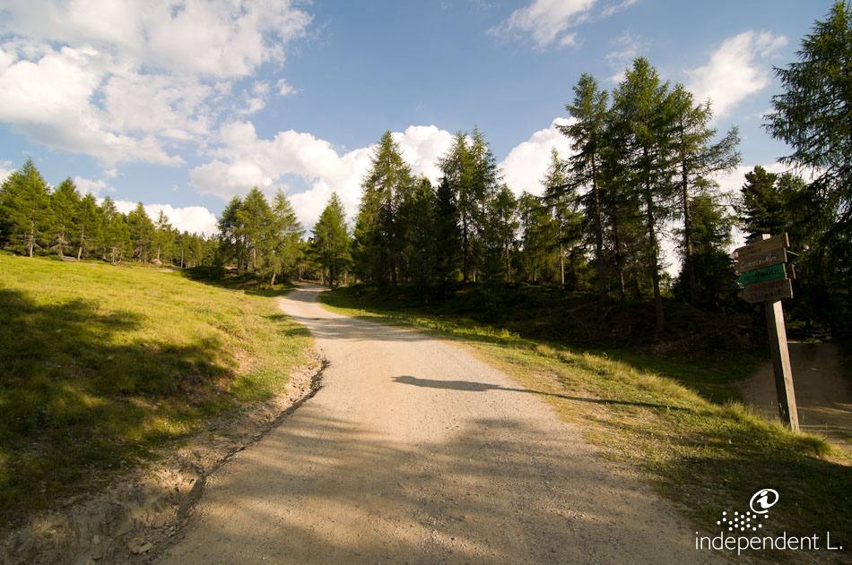
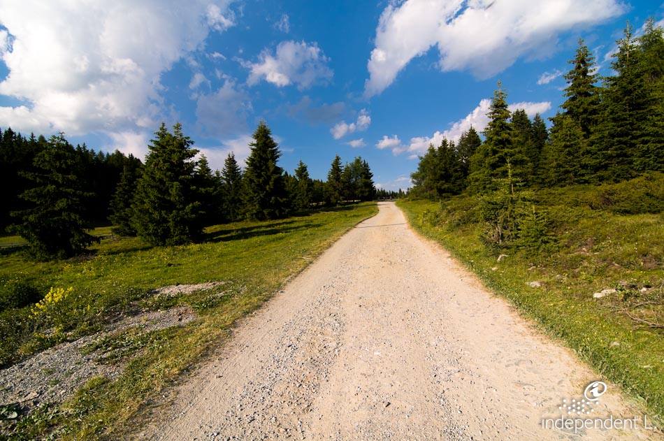
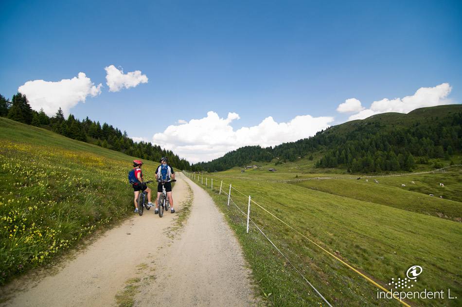
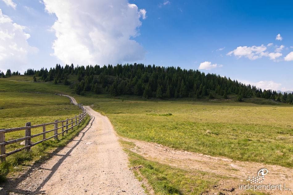
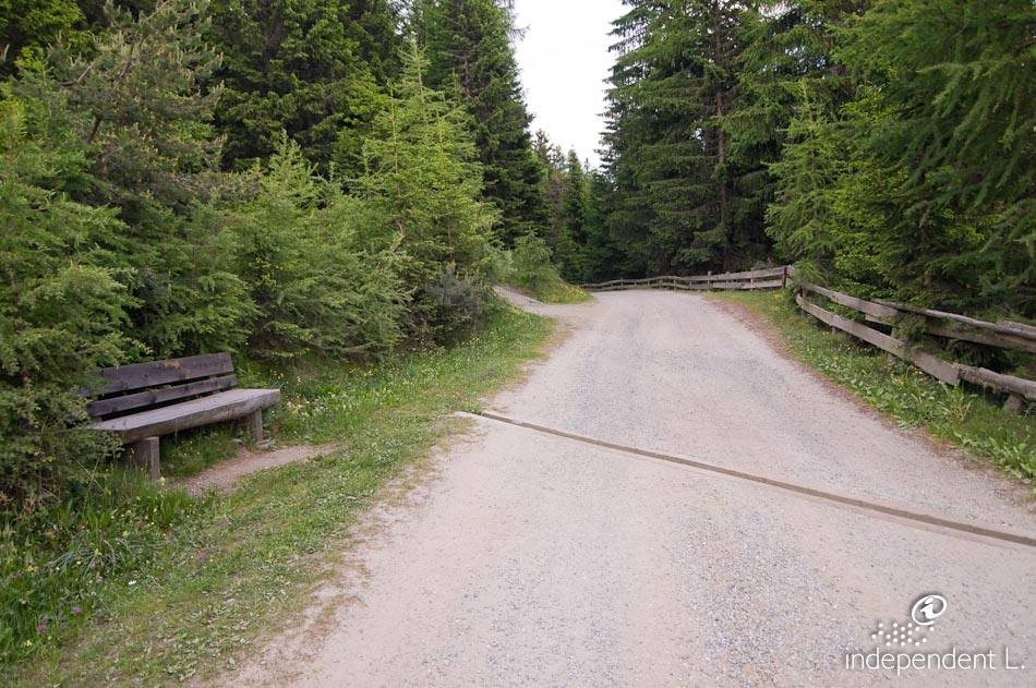
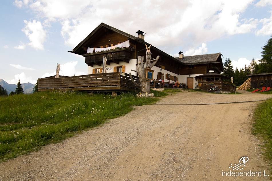
Starting from the car park at Zumis, we follow forest track no. 4, which is unpaved and leads eastwards with a steady, moderate gradient of 8%. For about 2 km, the path winds through sparse larch and red spruce forests and finally opens out into open pastures near the Ronerhütte (1832 m), a popular mountain hut reached via a short but fairly steep climb.
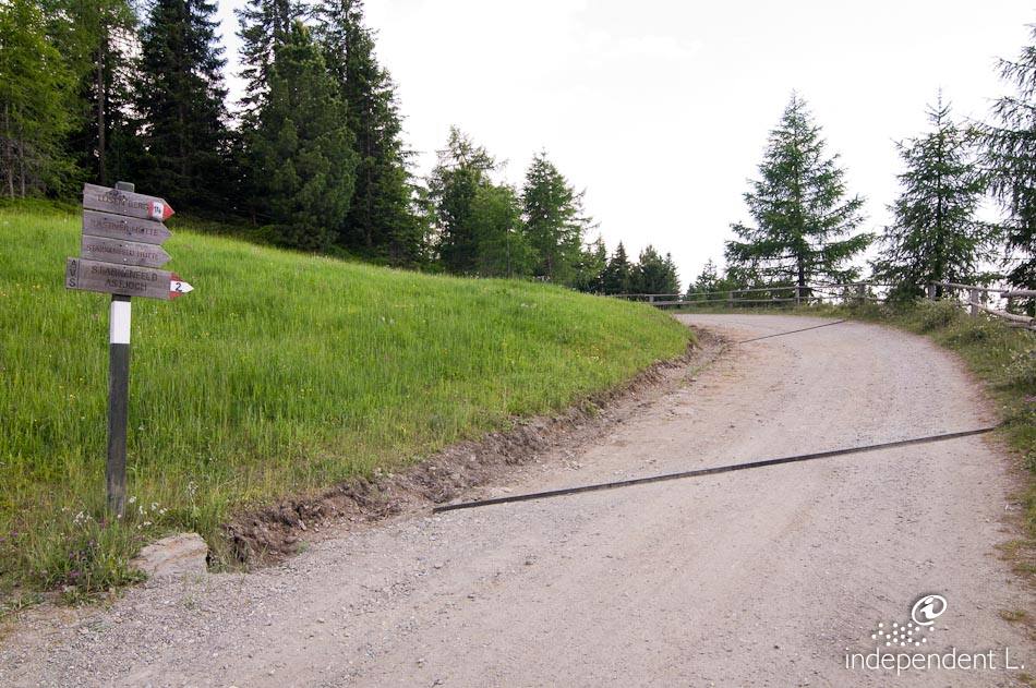
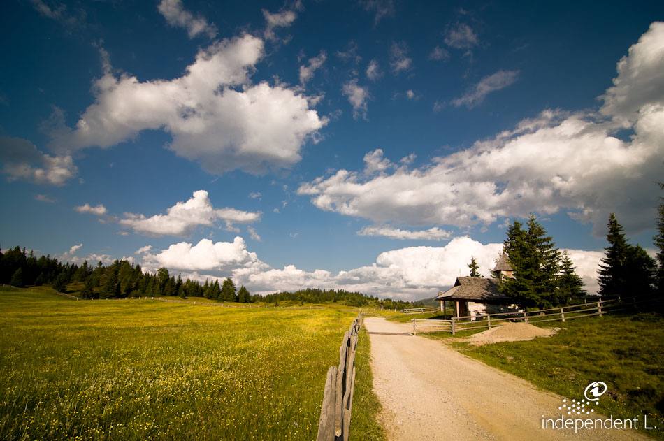
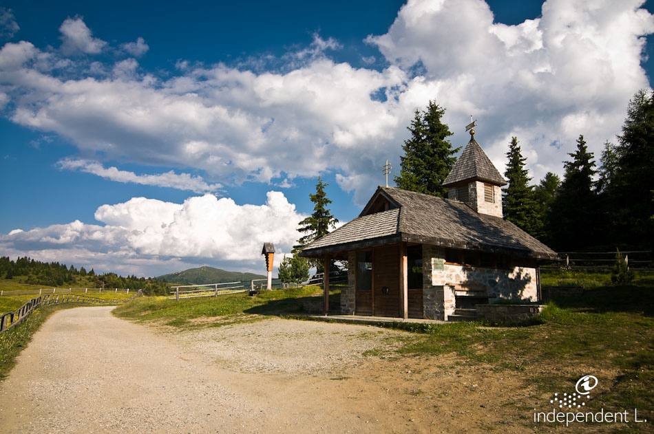
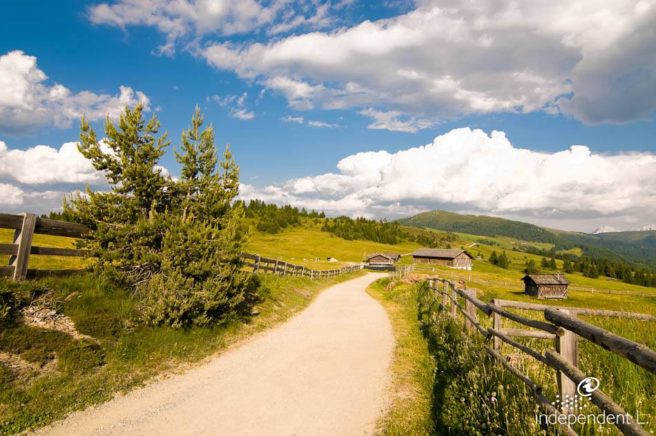
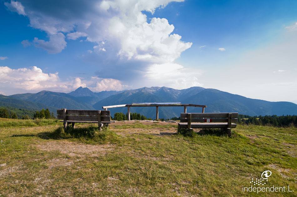
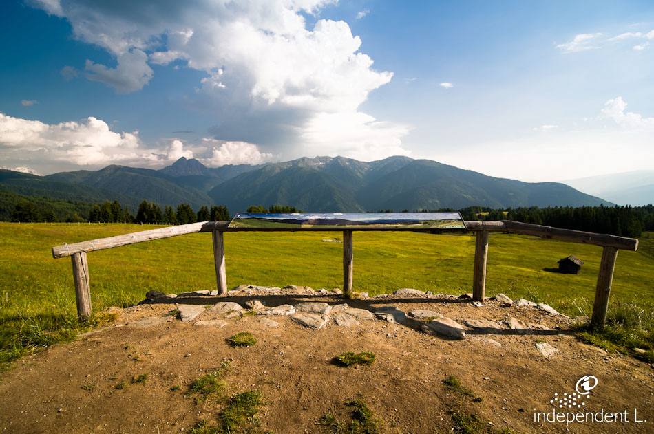
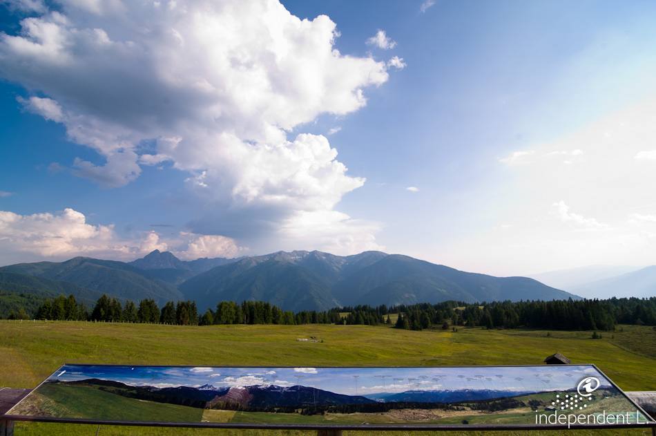
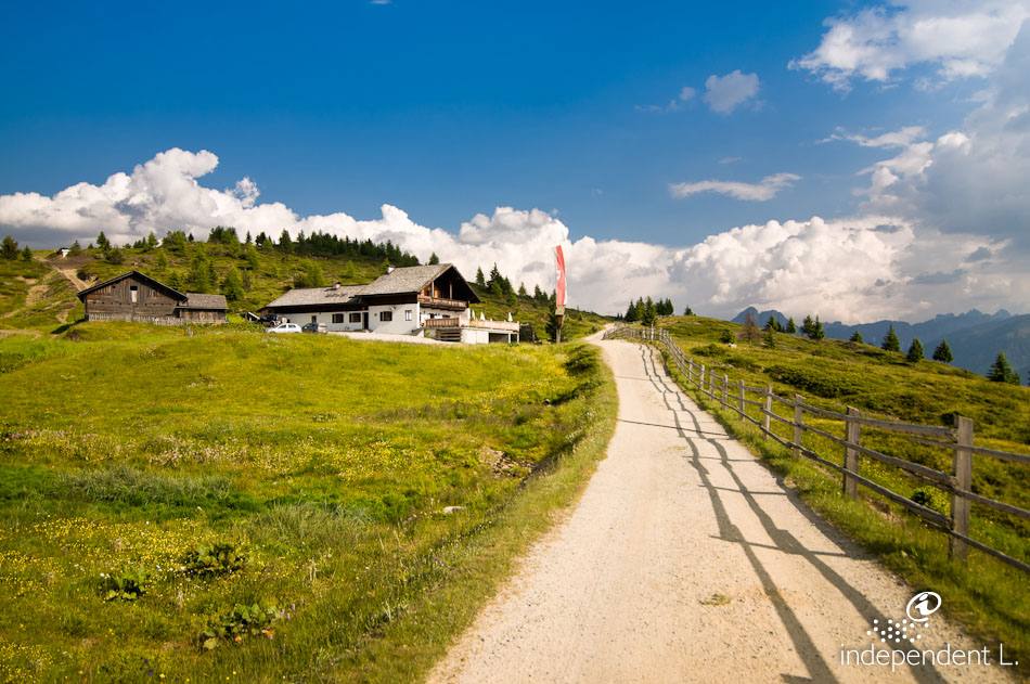
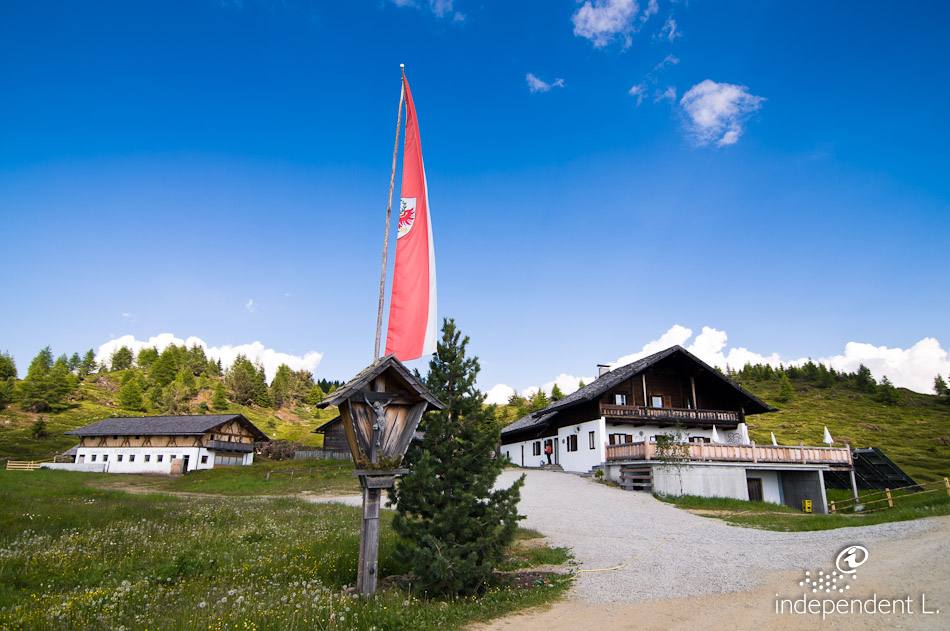
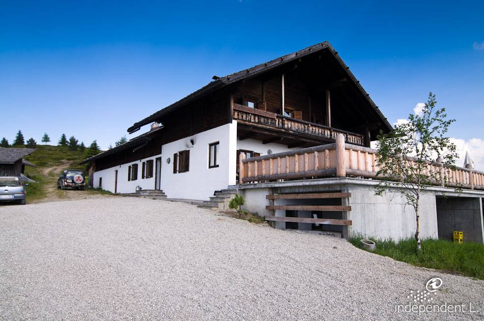
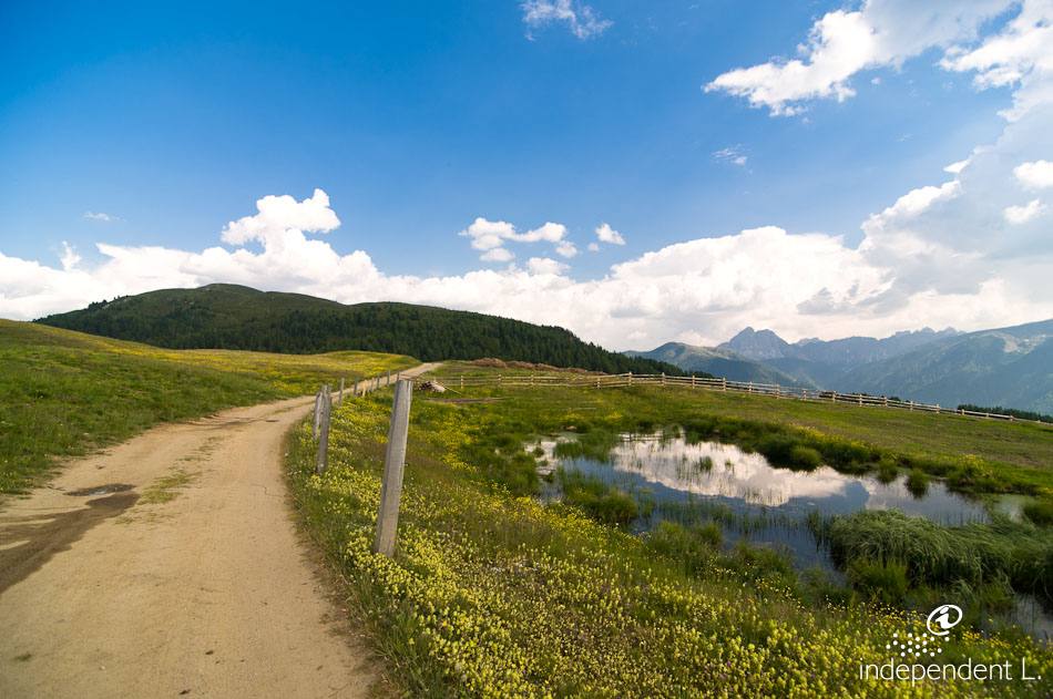
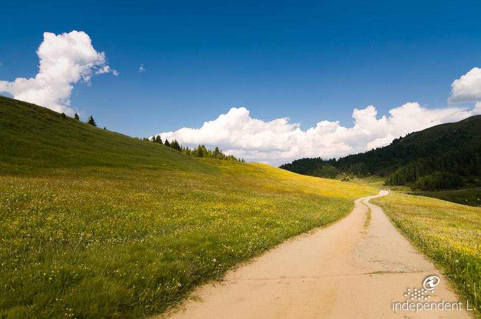
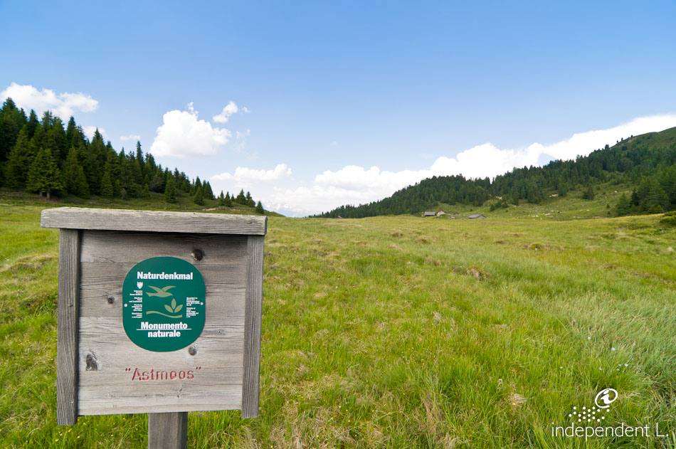
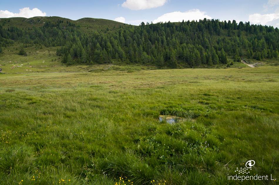
From here, we follow the hiking trail towards the Starkenfeldhütte (signpost no. 2). This section of the trail includes some steep gradients (some exceeding 16%) and leads us to a small church dedicated to St Clare and St Bartholomew (1,901 m). Afterwards, the trail becomes less strenuous. We leave the forest and reach the sunny high plateau of the Rodenecker and Lüsner Alm, surrounded by vast meadows and pastures dotted with small, traditional wooden huts. Winding gently up and down, the path leads us to a beautiful viewpoint with an information board detailing the surrounding mountain peaks. The view of the Dolomites and the Eisack Valley is enchanting. Passing a few small mountain lakes, we reach the Starkenfeldhütte with its adjoining cheese dairy (1,936 m) after around 5.5 km. Those wishing to continue on will reach the Astmoos natural monument after a pleasant panoramic walk of about 1 km and a few successive gradients of 12%: a wide, very damp and marshy area covered in thick cushions of moss. The trail continues, but becomes significantly bumpier and steeper, which is why we return to our starting point via the same route.
families
senior citizens
mountain bikers
Gasthaus Starkenfeld Hütte (loose gravel flooring, one step leading to the bar area)
people with disabilities can also reach the hut by car, provided they have applied for the relevant driving permit from the relevant forestry office.