A walk between Appiano and Caldaro
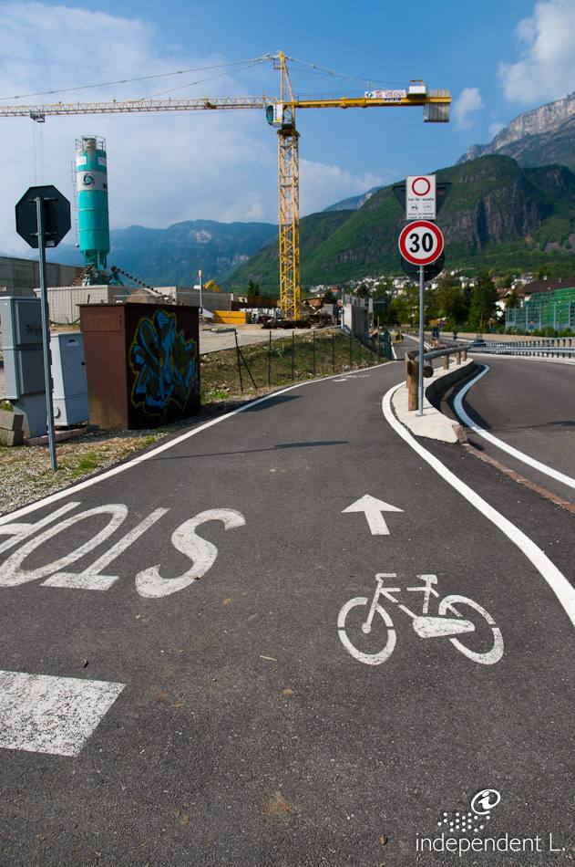
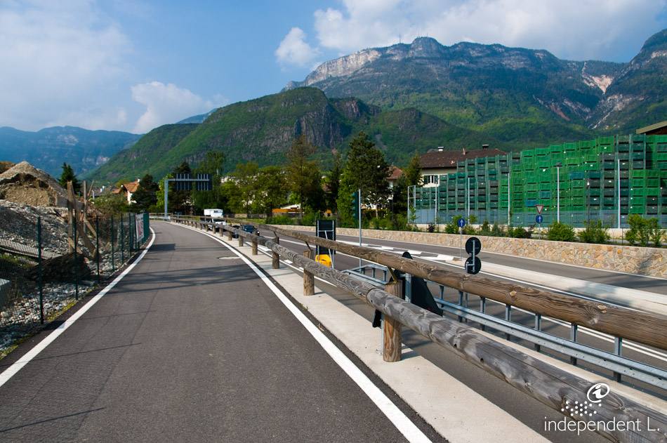
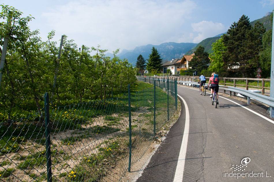
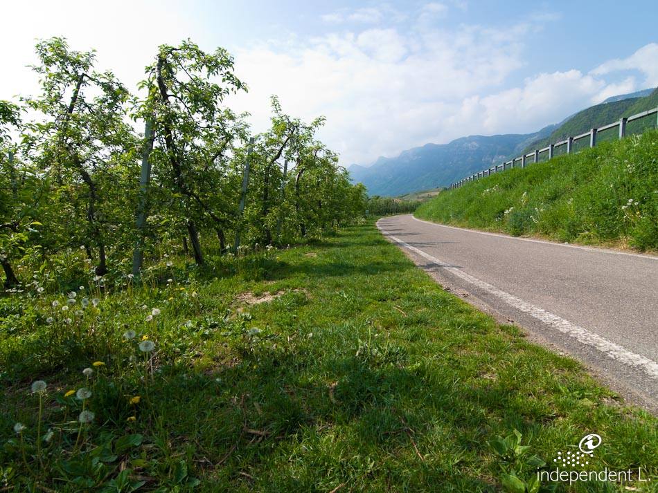
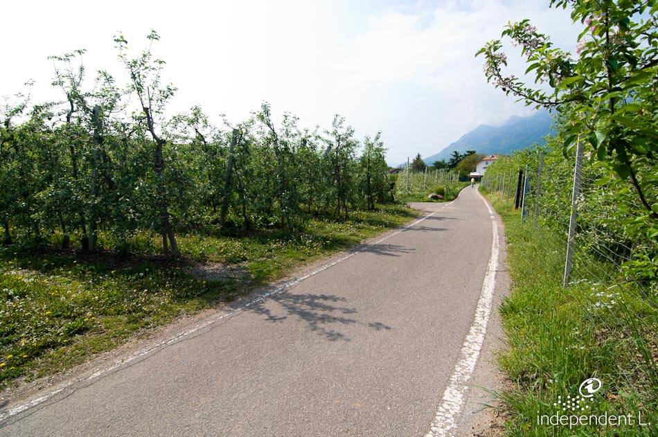
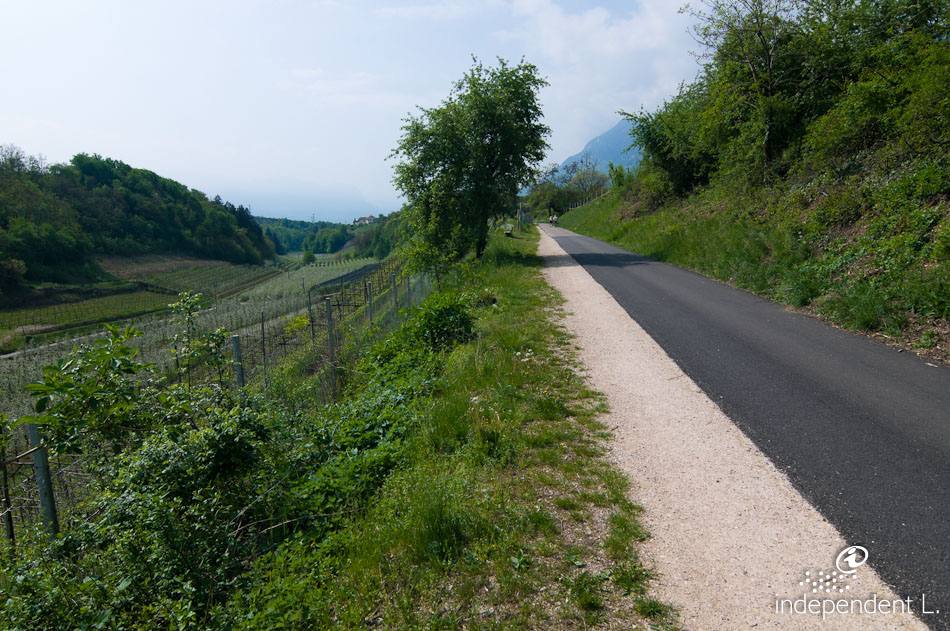
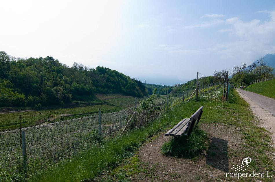
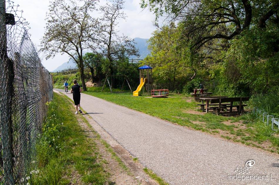
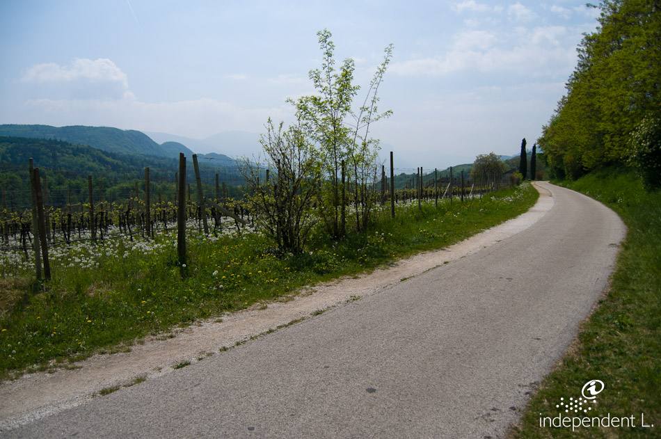
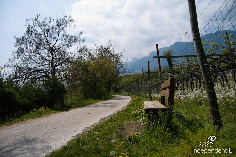
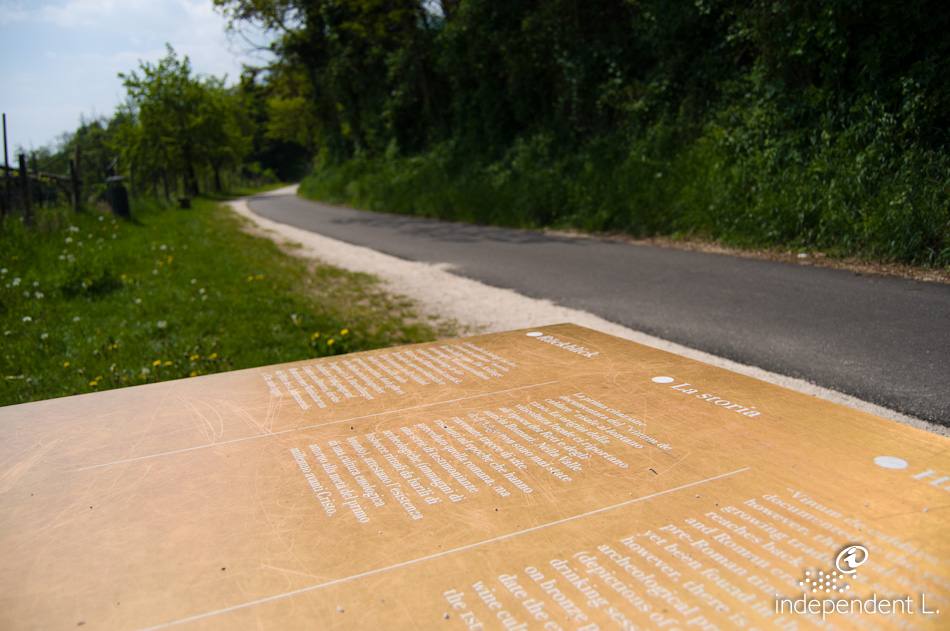
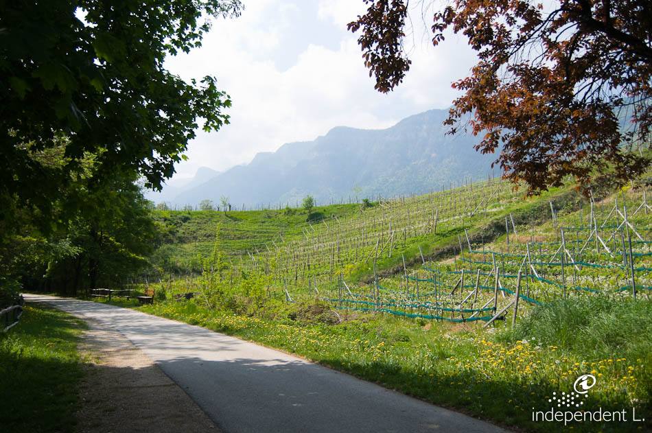
An easy walking route through vineyards and orchards along the old railway line that once ran from Bolzano to Caldaro. The section between Appiano and Caldaro has been converted into a cycle path. There are several rest areas and play facilities for children along the route.
Accessibility
From Bolzano along Mendelstraße to Appiano. On the St. Michael bypass, turn right just before the tunnel towards the village centre/Montiggl Lakes. At the roundabout, we park in the public car park behind the Weißes Kreuz Überetsch ambulance service, where the cycle path also begins (reserved parking space for people with disabilities).
Description
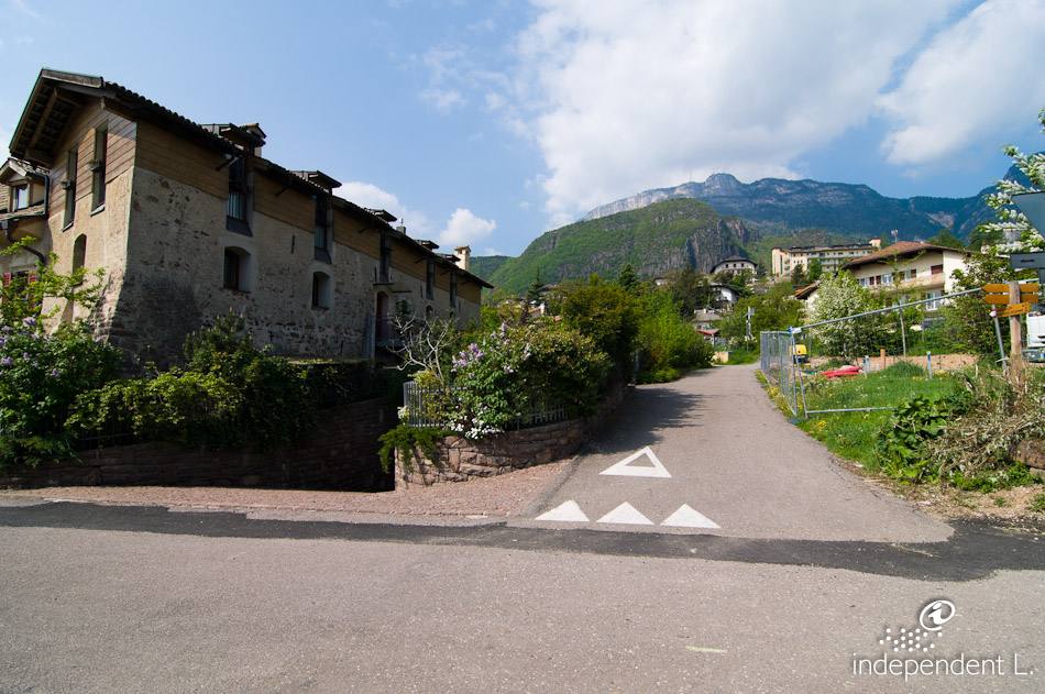
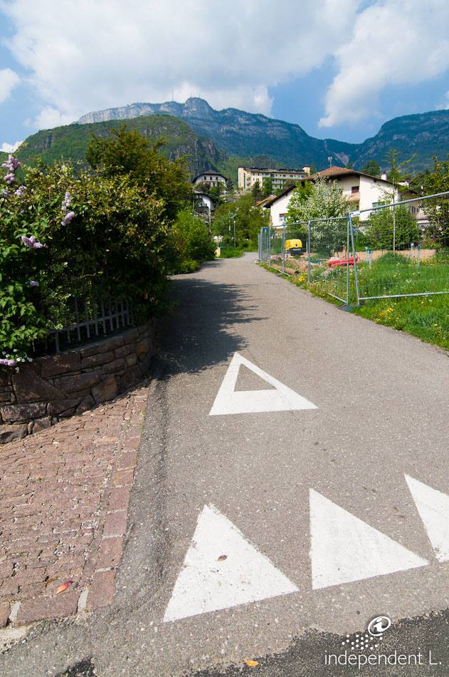
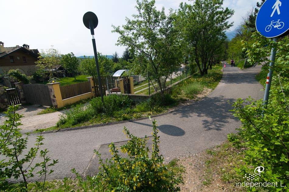
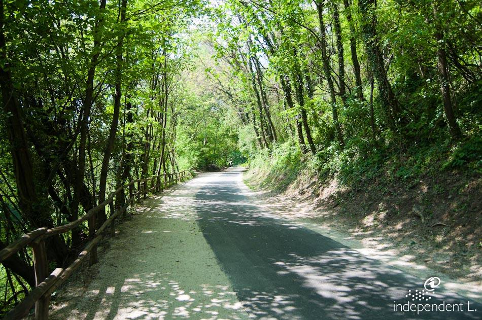
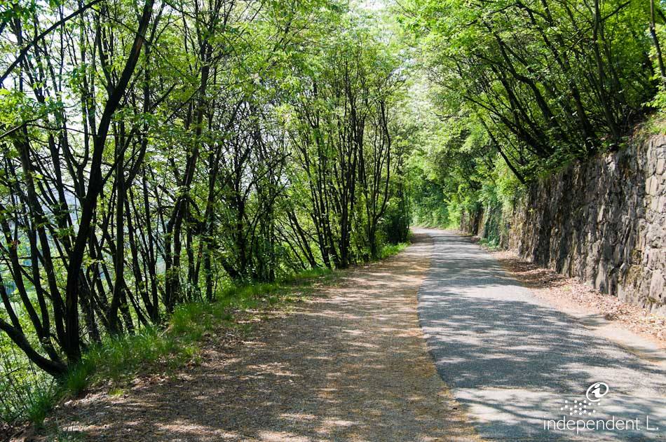
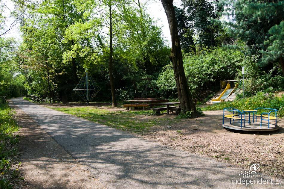
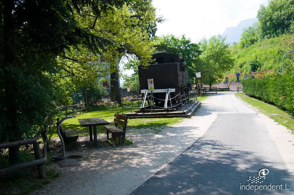
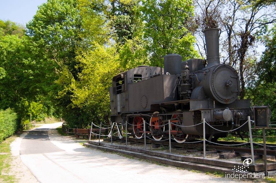
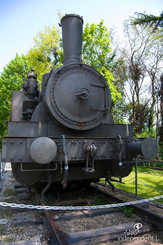
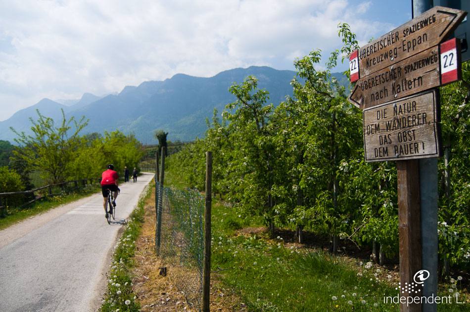
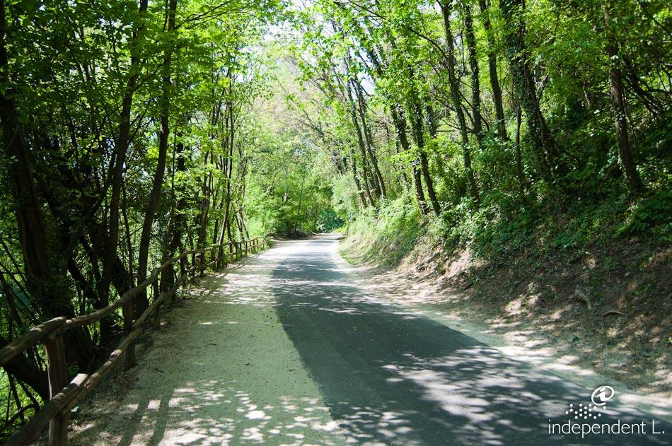
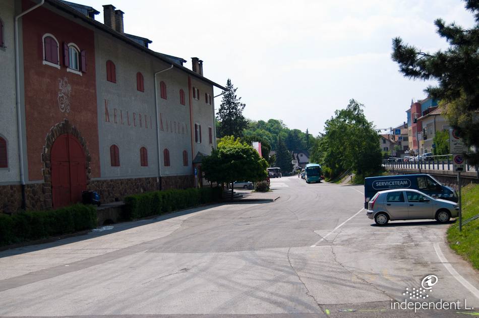
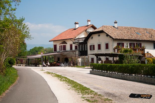
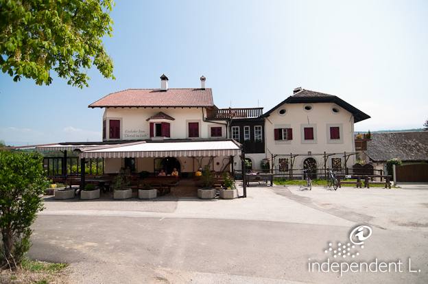
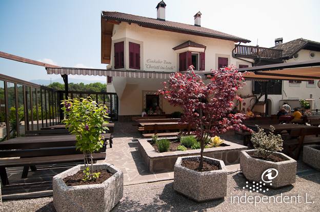
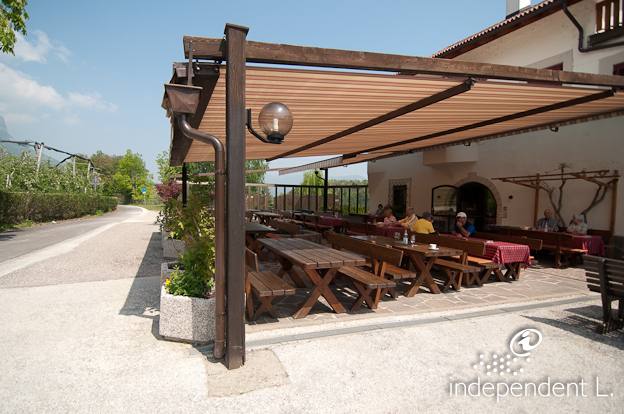
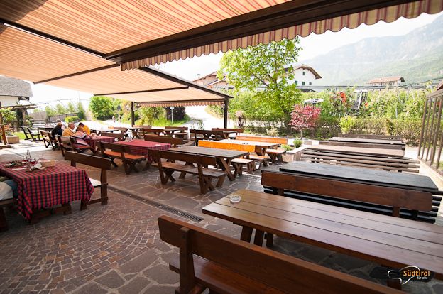
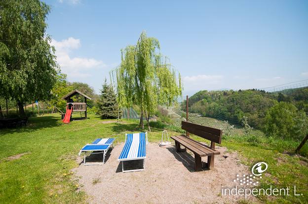
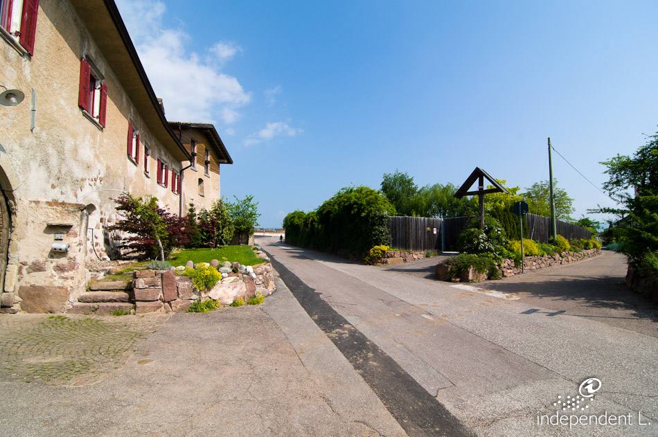
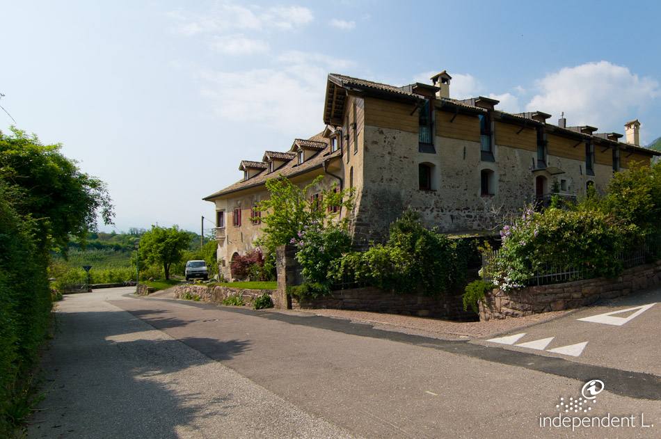
From the car park at the ambulance station in St. Michael (410 m), we follow the lovely cycle path that runs alongside the main road to Kaltern. Passing the former tram station (now the bus station), the route continues from here almost flat, winding gently along the slope of the Lavason Valley. At a residential area, we first cross the cycle path leading into the Lavason Valley and towards Lake Montiggl, but continue straight on until we come across a small road access point again near two historic buildings. Here we turn right and take the short climb with a gradient of 14% up to the cycle path (signpost no. 22 – towards Kaltern and Christl im Loch). The footpath then continues on level ground to the industrial estate (410 m). We follow the path beneath shady beech and downy oak trees and enjoy the view of the surrounding countryside and the small Kreith monastery. Finally, we pass a few rest areas with play facilities and leave the woodland near the accessible Christl im Loch snack bar (415 m). From here, the path continues through vineyards and orchards to Kaltern with its wineries (415 m), where an old steam locomotive is on display at the end of the promenade.
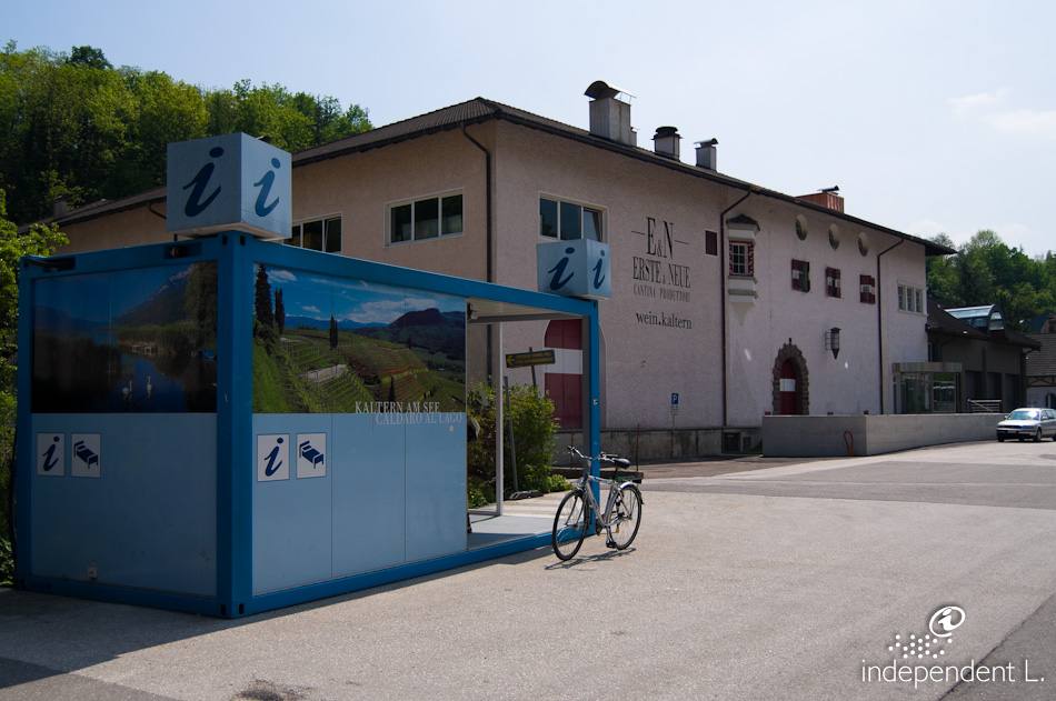
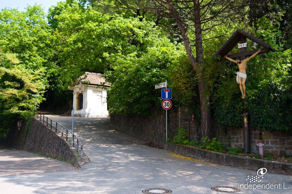
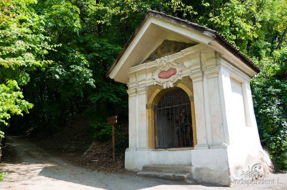
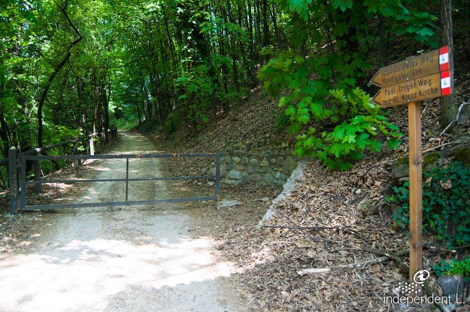
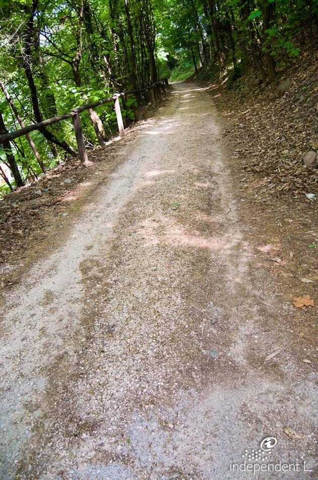
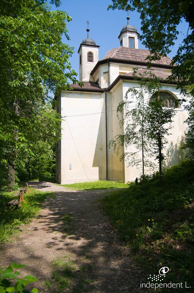
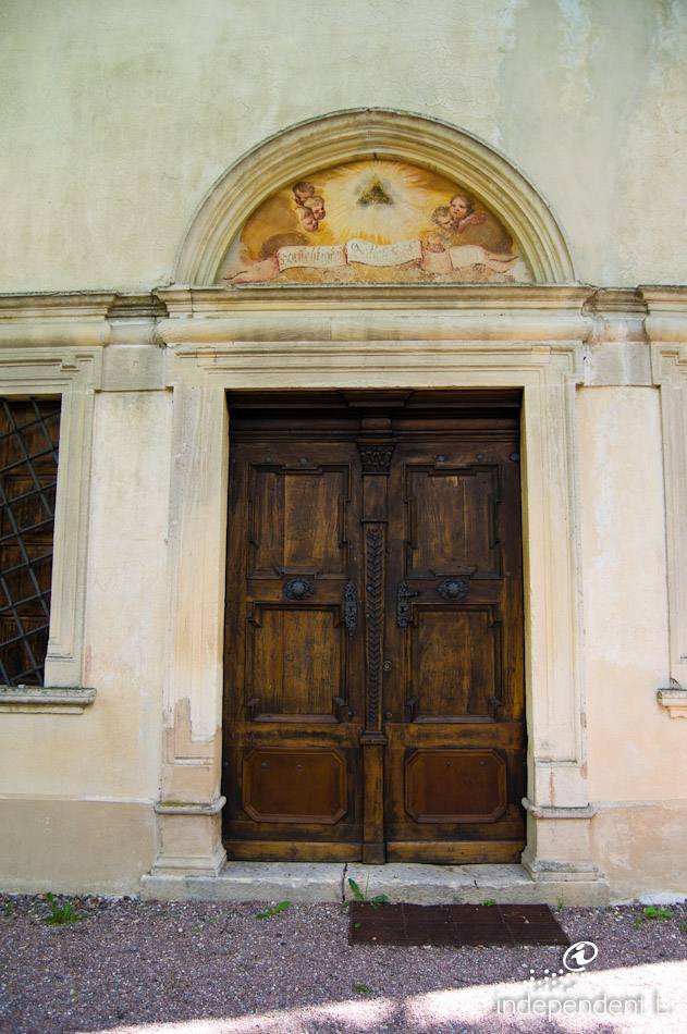
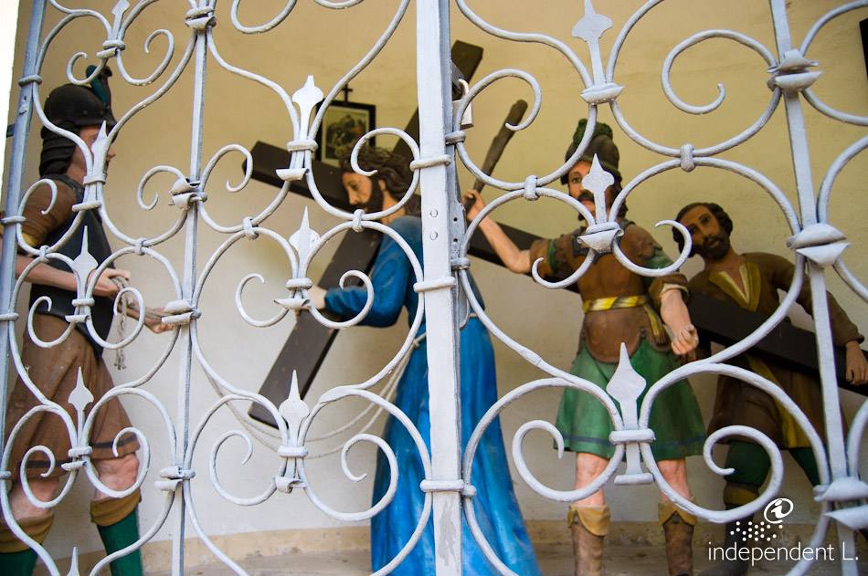
Those wishing to continue the walk pass the Erste and Neue Kellerei to reach a small road leading up to the main road. At a wayside shrine, we turn right and head towards the shooting range, where the Way of the Cross begins (trail marker no. 4). Passing numerous Stations of the Cross, featuring sculptures depicting Christ’s Passion, we eventually reach the church on Calvary (435 m) via this unpaved road. The Way of the Cross is steep and has gradients of up to 20% in places. We take the same route back to our starting point. The route can also be started from the steam locomotive. It is easier to find a parking space near the wineries of Kaltern.
mountain bikers
crossroads with a solid surface made of natural materials and gravel
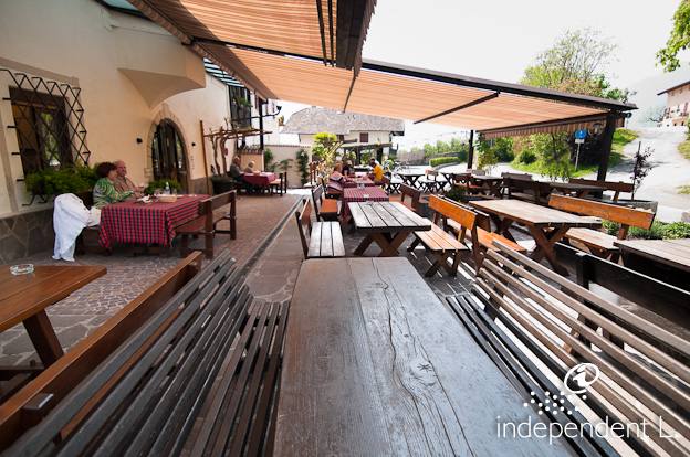
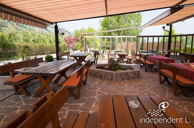
Christl im Loch Snack Bar
bus stop near the wineries in Kaltern
not recommended on hot midsummer days