A walk along the shores of Lake Zoccolo
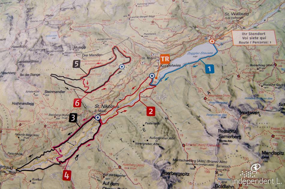
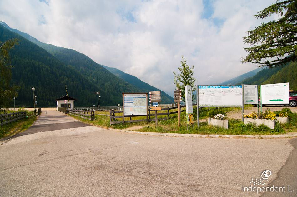
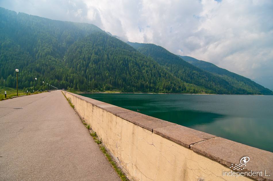
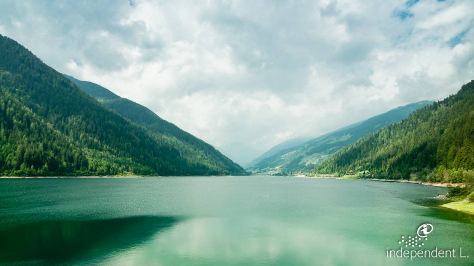
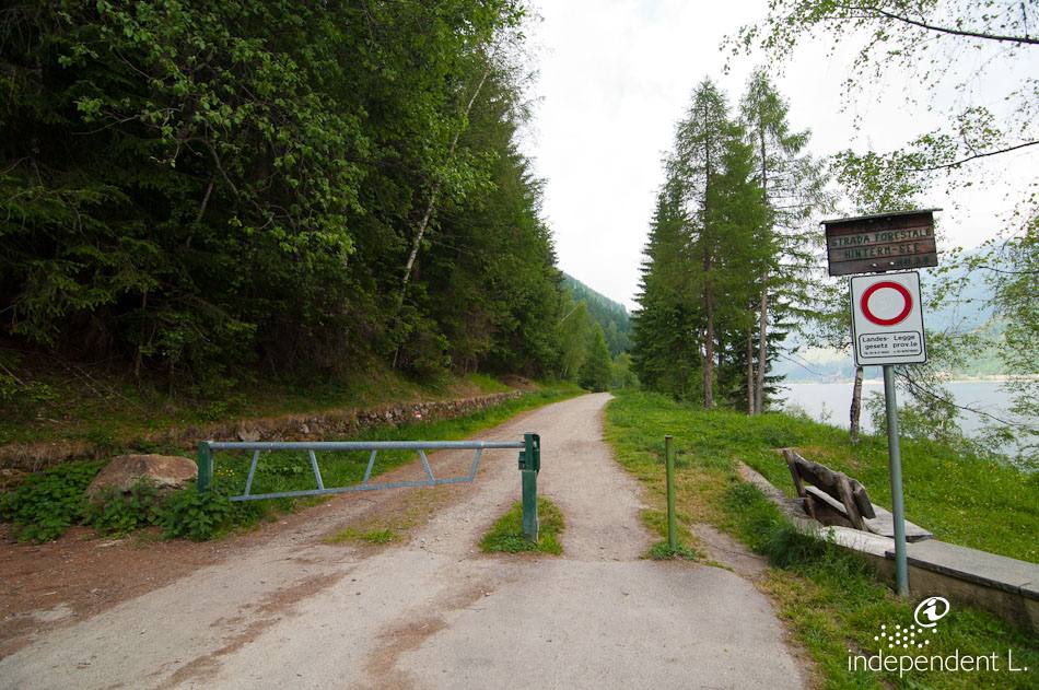
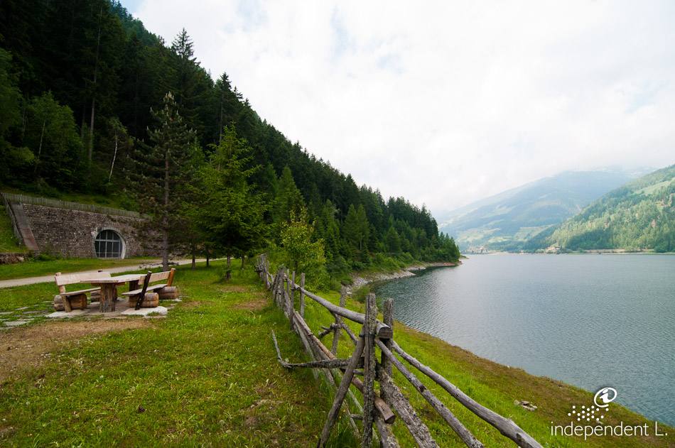
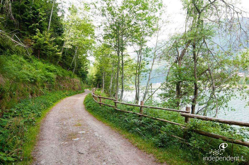
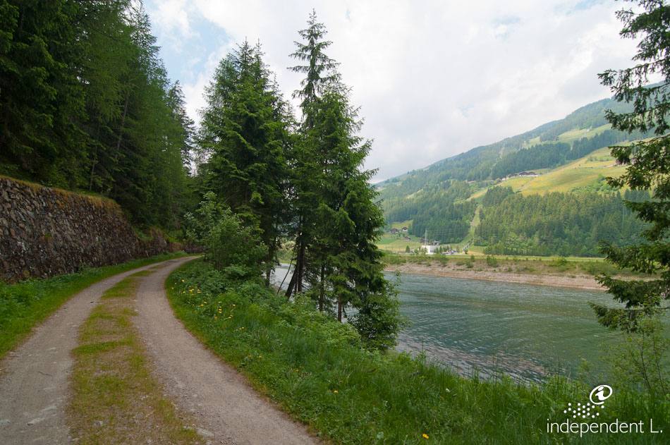
In the 1960s, major interventions were carried out in the Ultental valley to build hydroelectric power stations: dams were constructed and reservoirs created. The largest of these, near St. Walburg, is Lake Zogglersee. A lovely, wide forest track runs along its eastern shore.
Accessibility
From Bolzano, take the MeBo motorway towards Merano until the Lana exit. Drive through Lana and turn off into the Ulten Valley. Follow the winding main road to St. Walburg. Shortly after the village, park in the car park by the dam.
Description
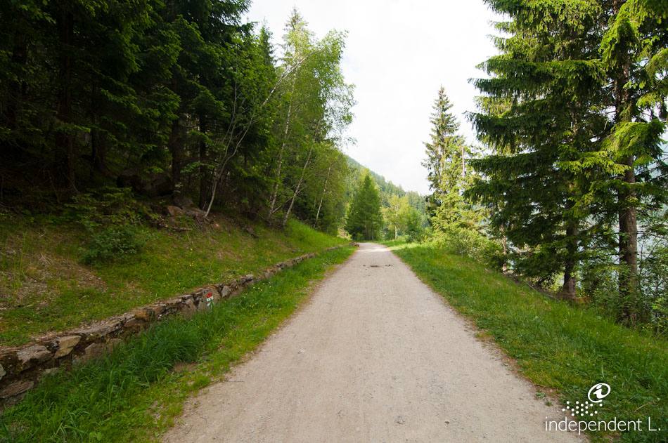
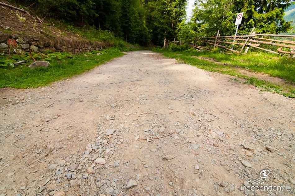
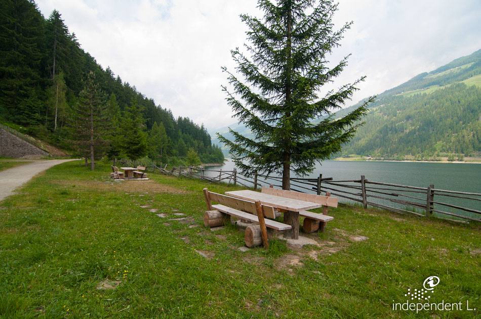
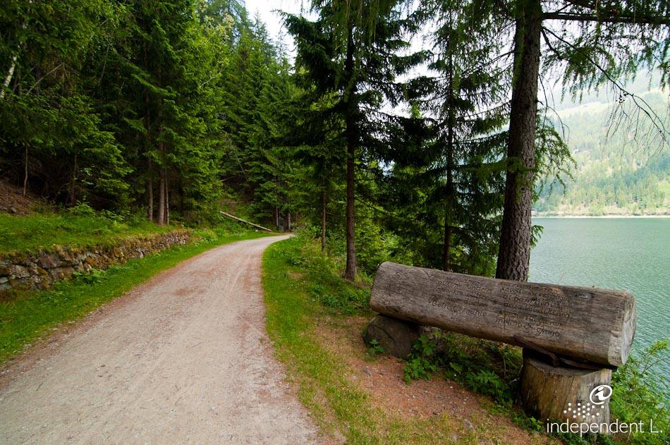
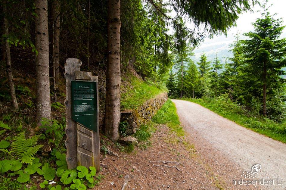
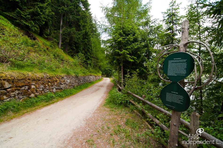
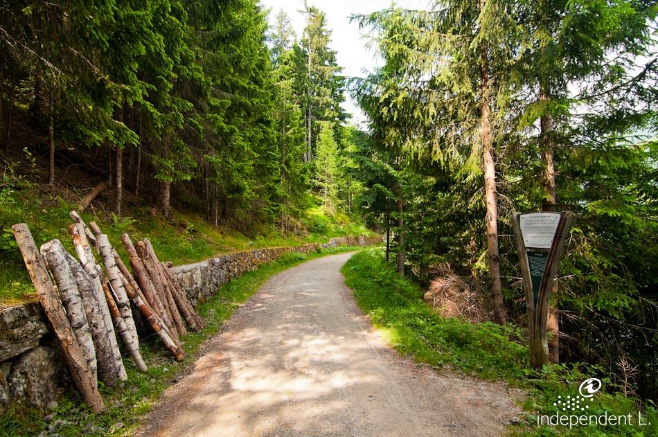
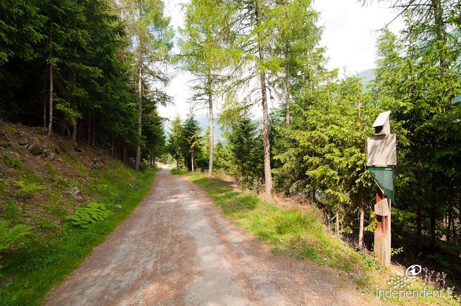
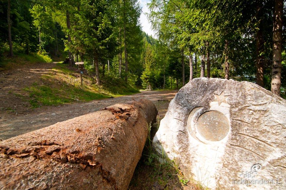
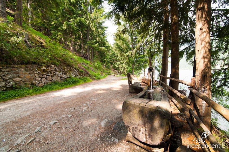
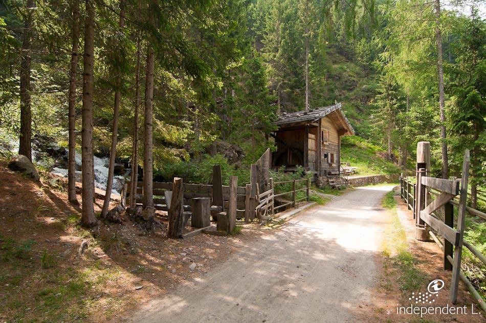
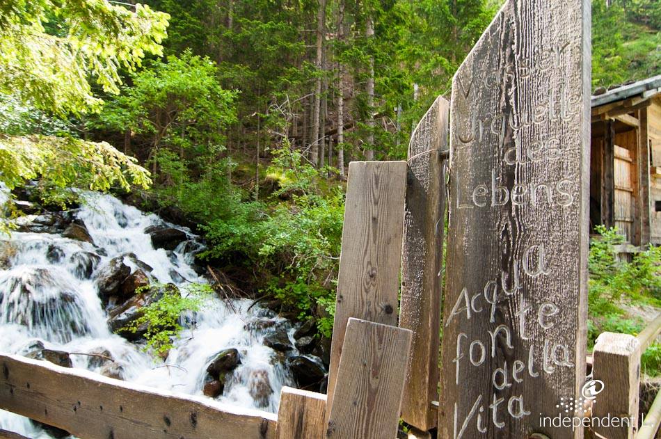
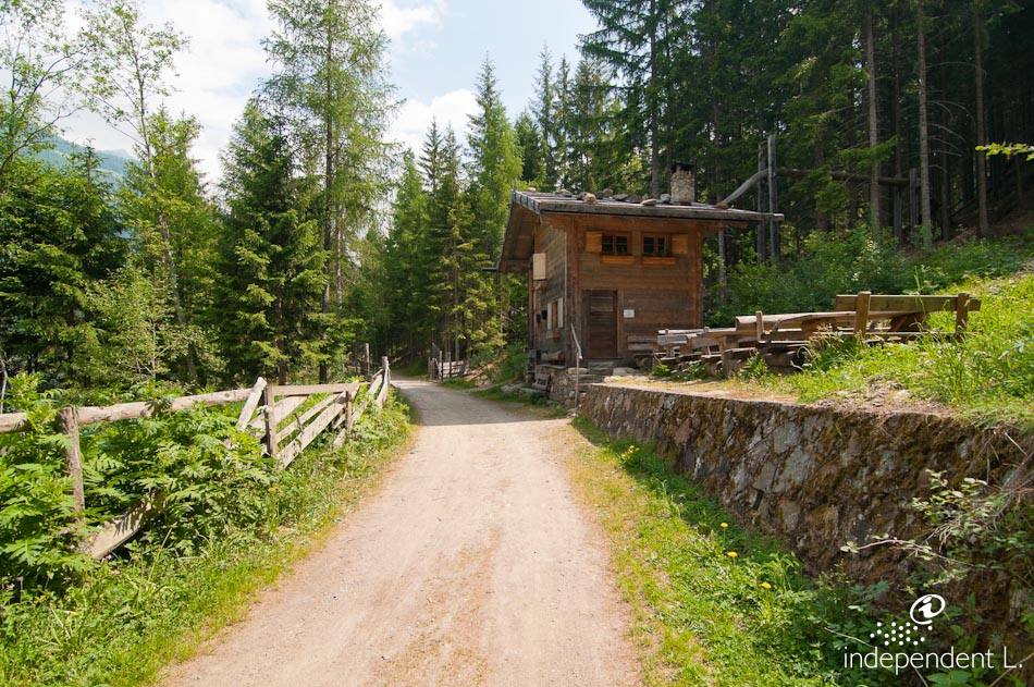
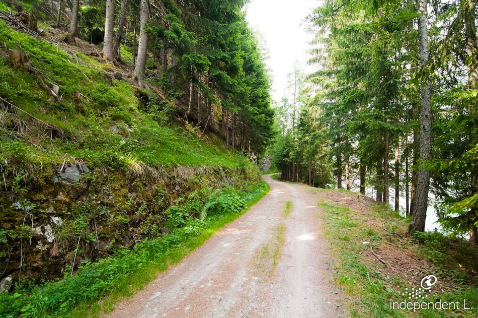
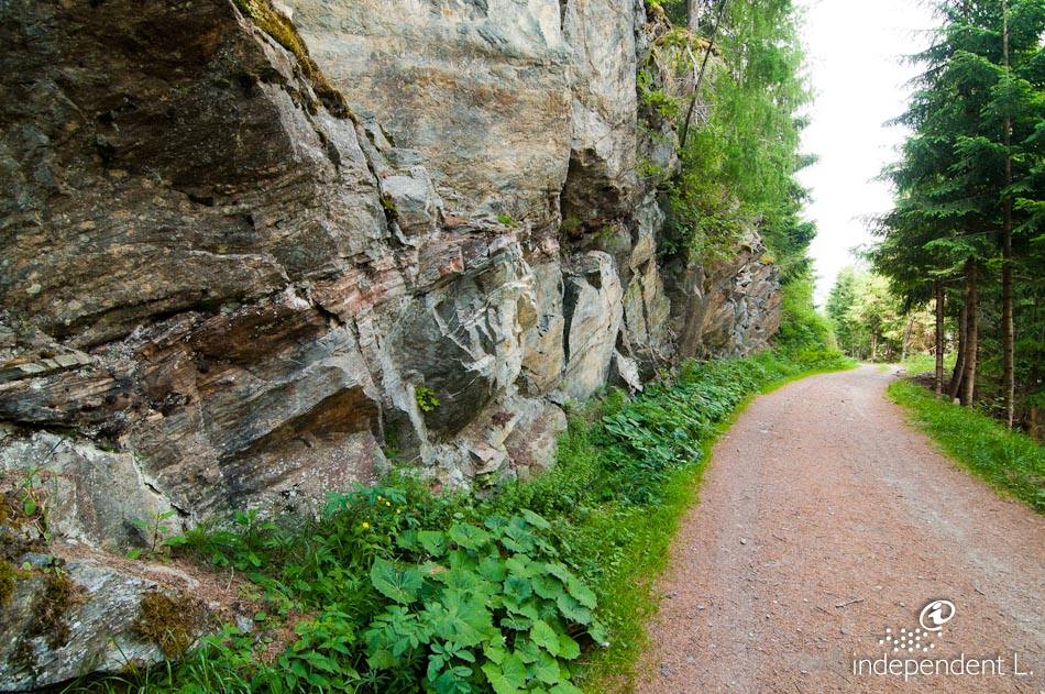
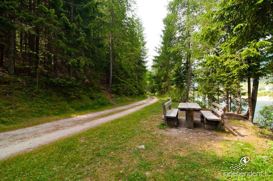
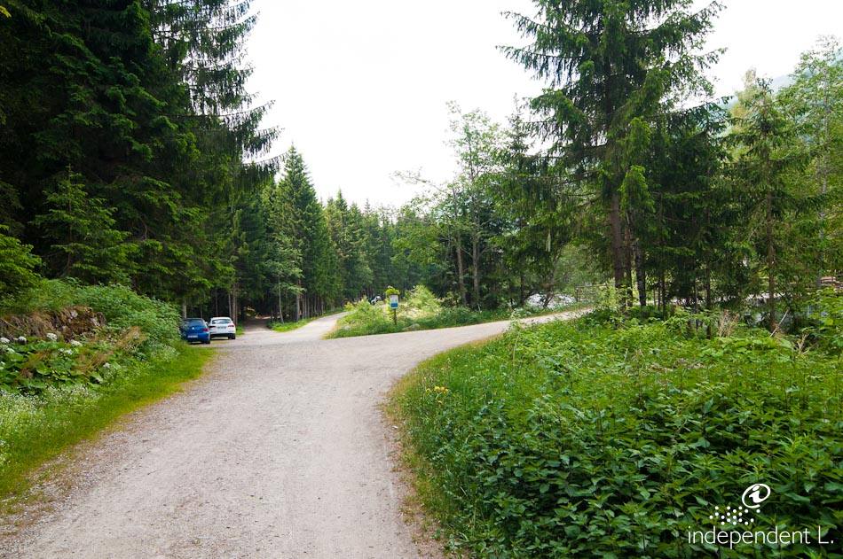
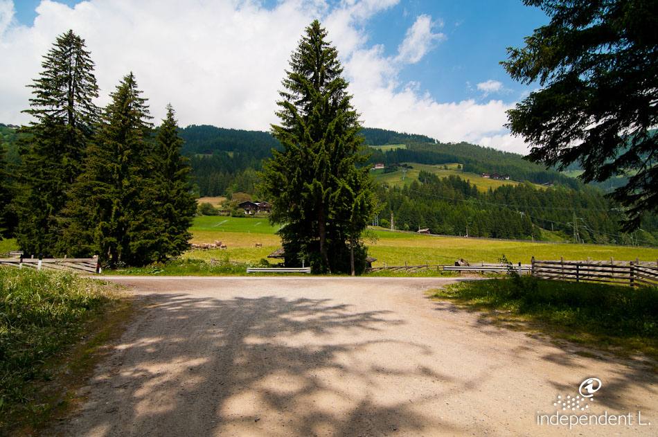
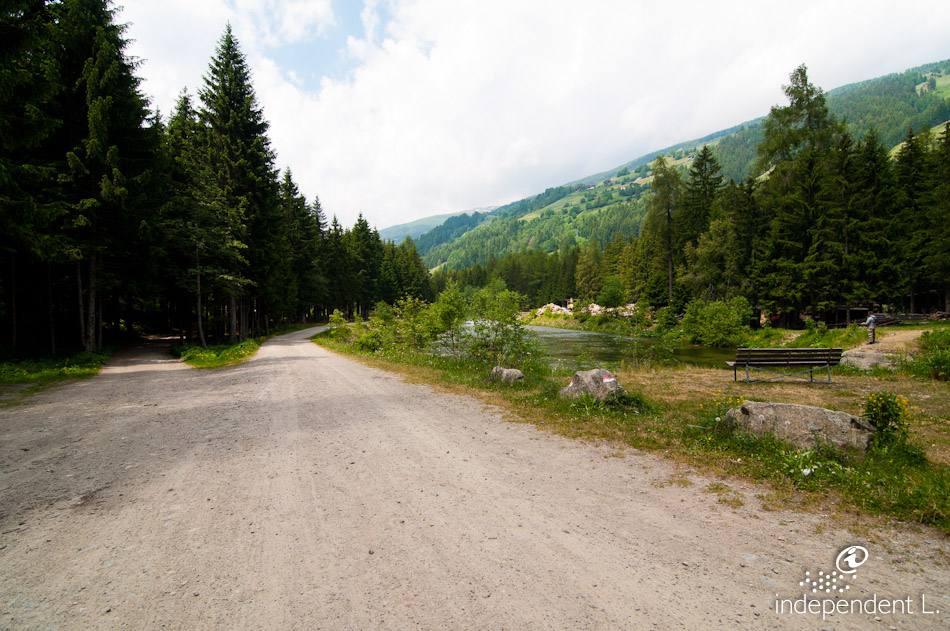
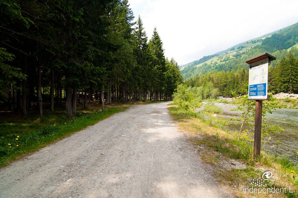
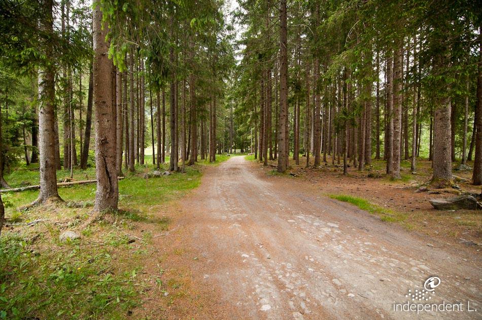
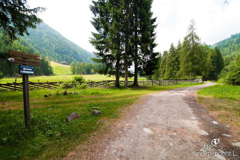
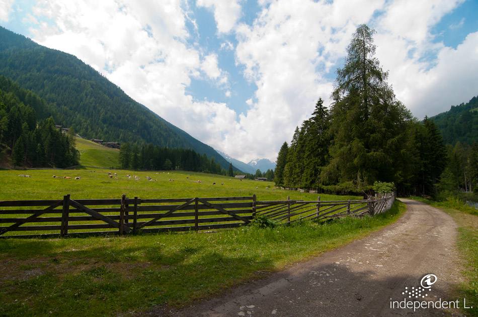
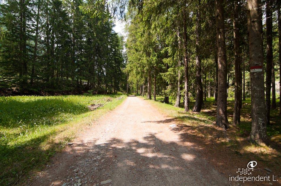
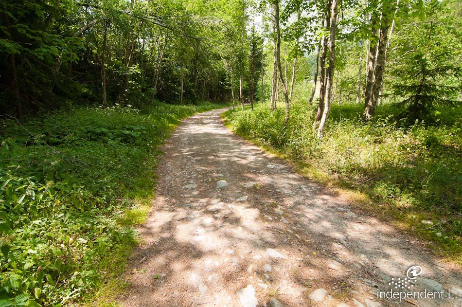
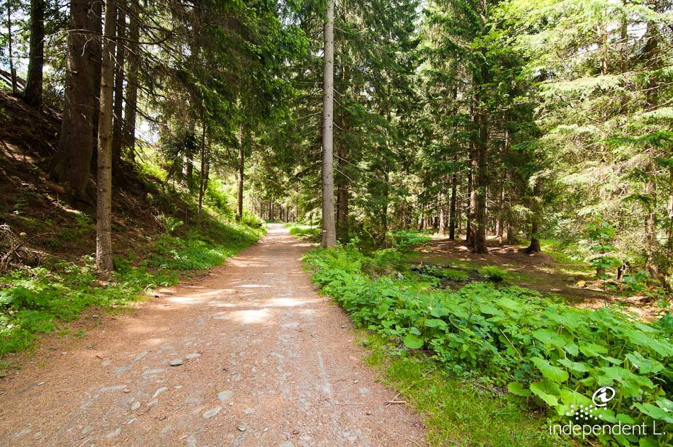
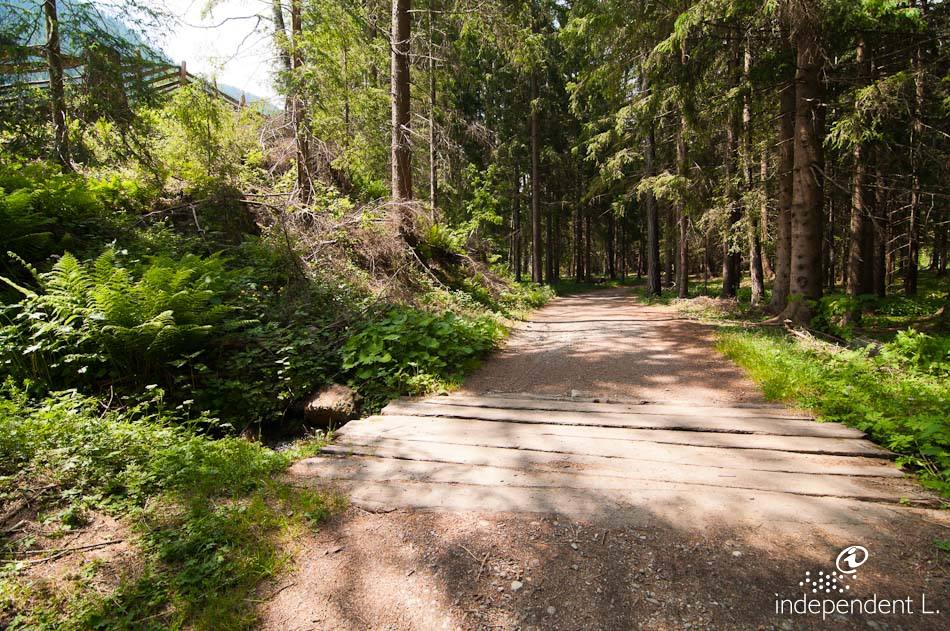
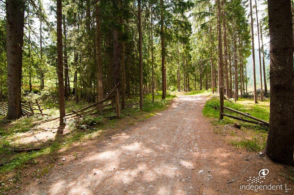
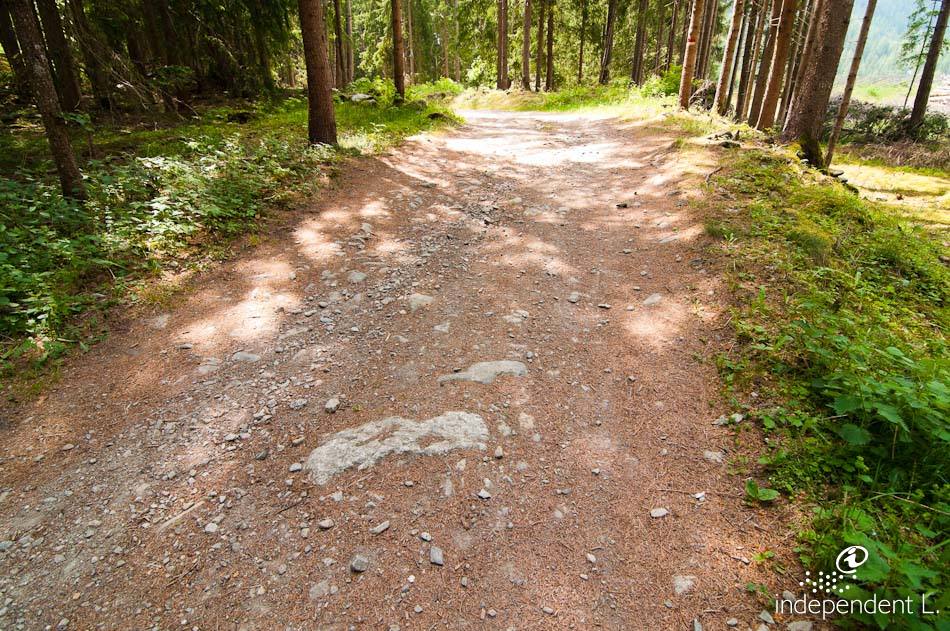
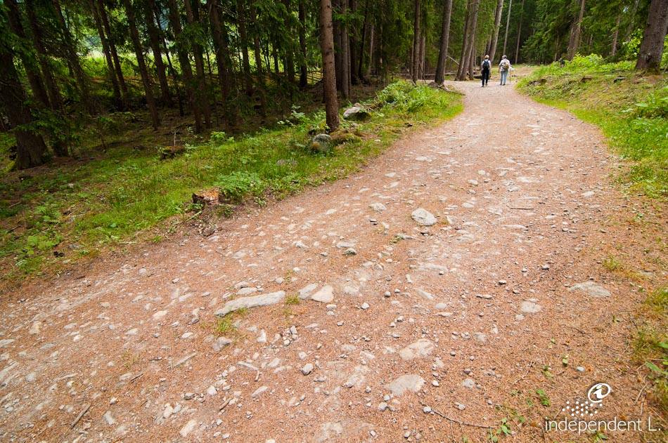
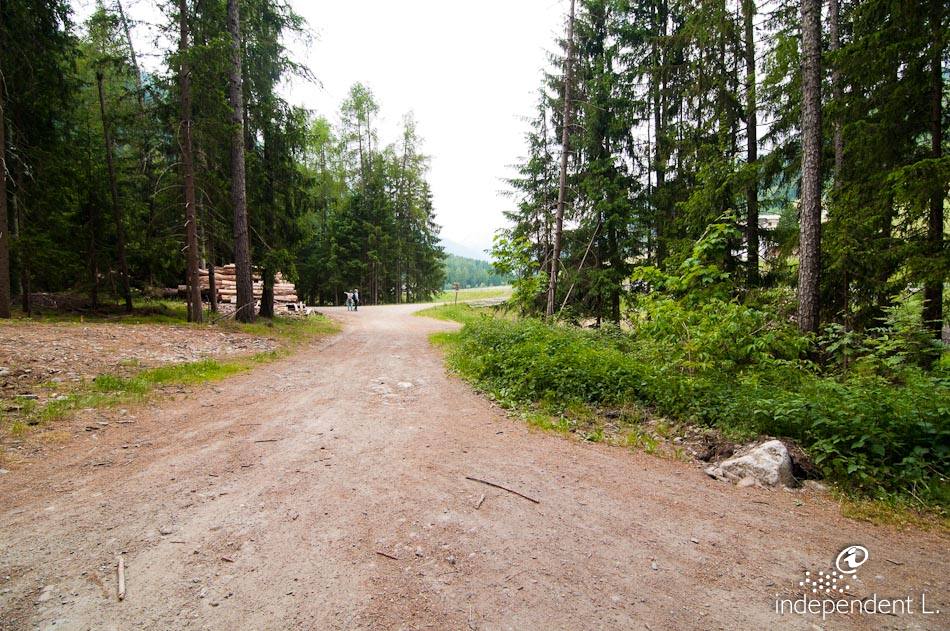
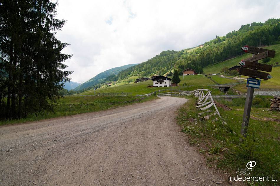
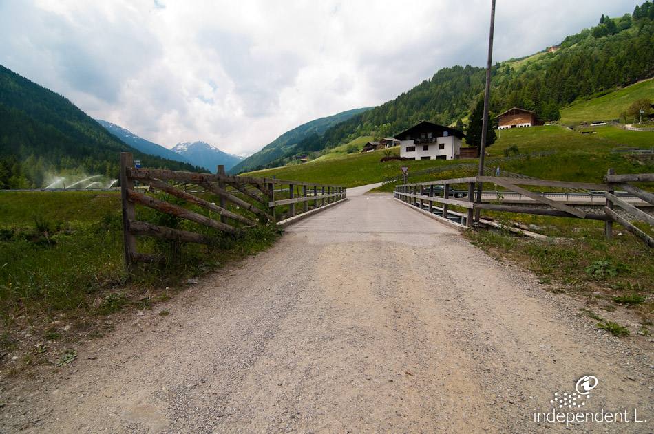
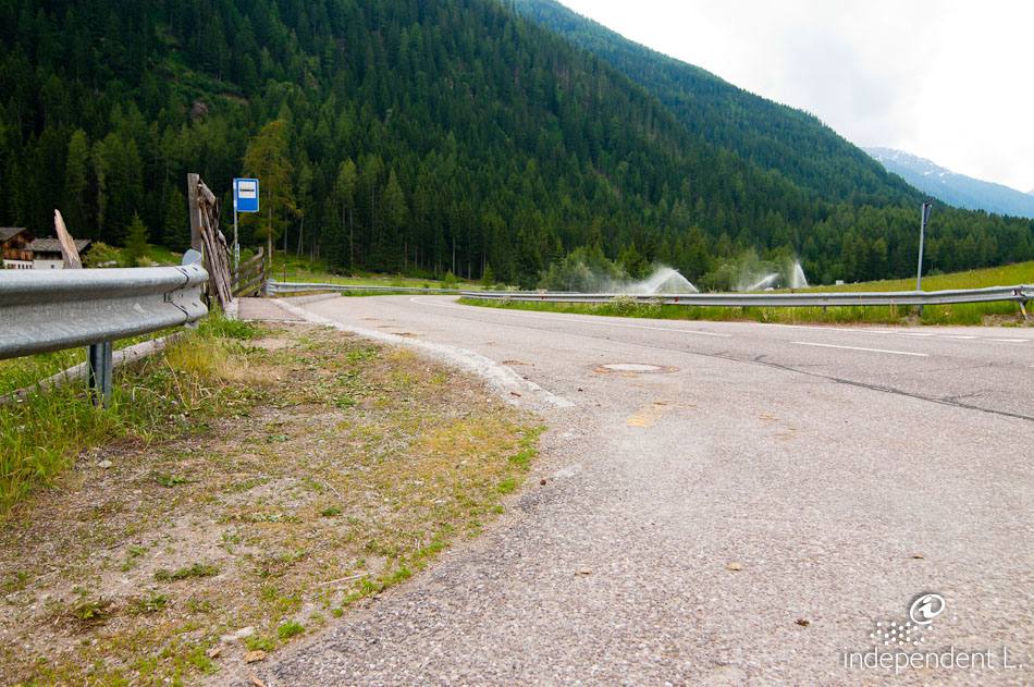
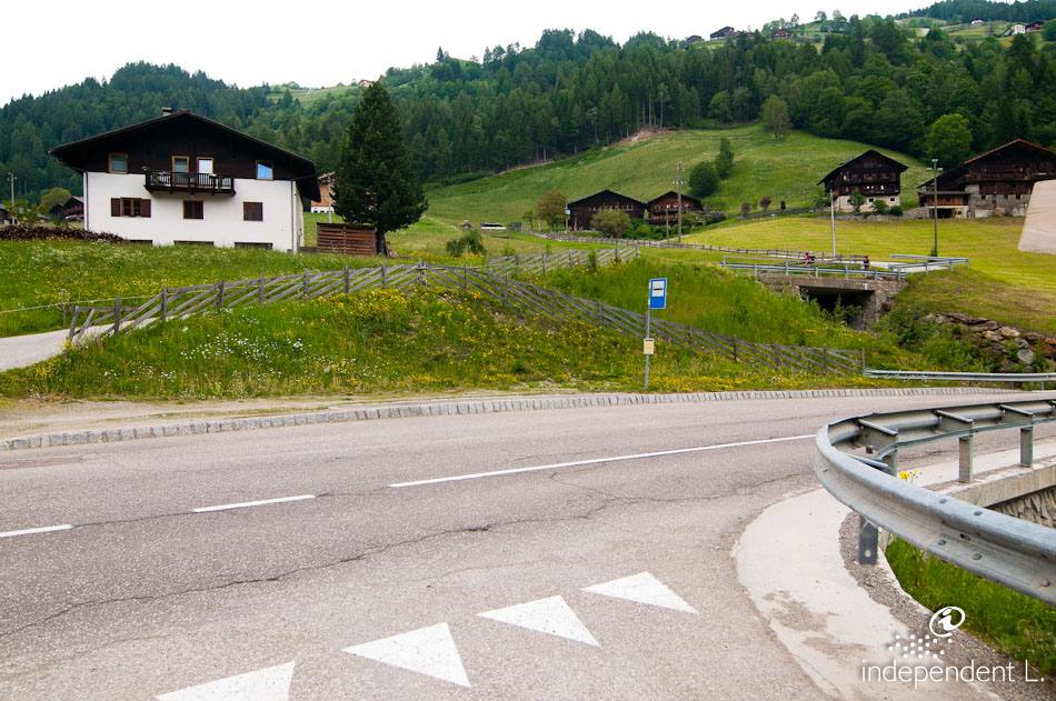
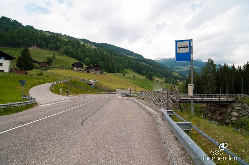
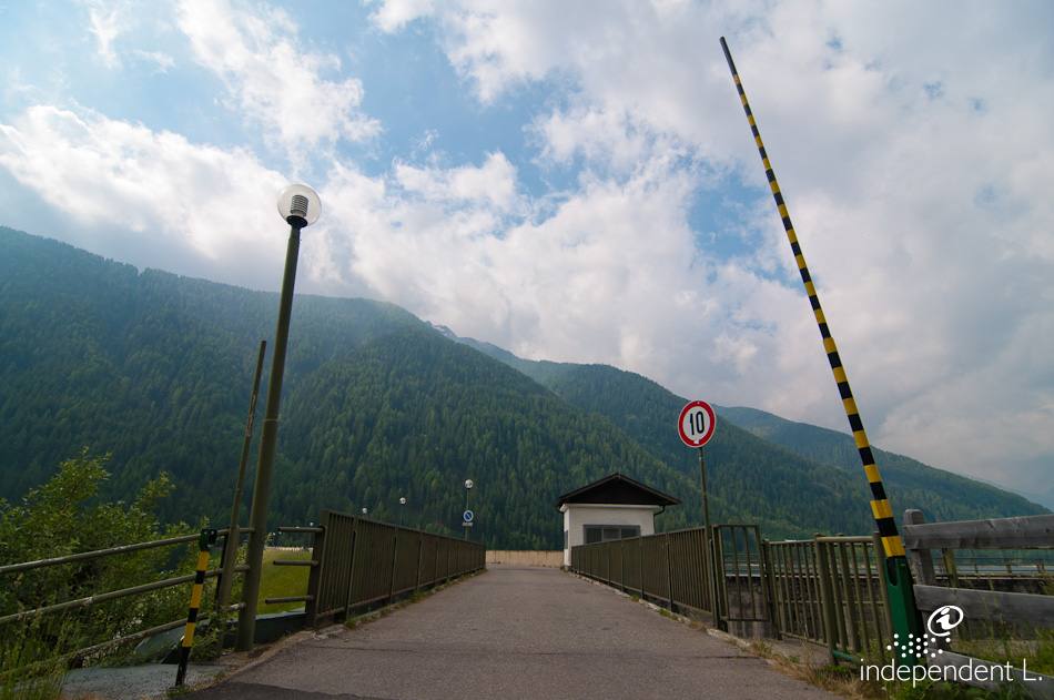
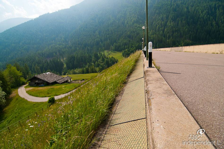
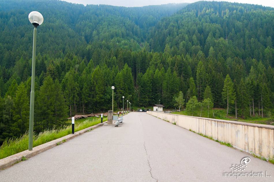
From the car park on the main road, we cross the reservoir along a small tarmac road (1,126 m). On the opposite side of the valley, an almost flat forest track with a firm natural surface begins, following the course of the inlets and leading down to the point where the Falschauer flows into the reservoir. The entire route runs through a shady spruce forest. The light-blue lake adds an extra charm to the landscape. Alongside a beautifully restored watermill, there are cosy rest areas, artistic sculptures and several information boards providing details about the flora and fauna of the Ulten Valley. At the end of the forest road, you reach a junction. Here, we turn right and cross the Falschauer via a bridge. Passing a riding stable, our hiking trail joins the main road. Here we turn back and take the same route back to our starting point. If this leisurely walk has been too short for you so far, you can continue straight on at the junction near the bridge along the so-called “Ultener Höfeweg”: this footpath runs along the banks of the Falschauer through the woods. The surface is a little bumpier and features a few short sections with gradients of up to 12%. After about a kilometre, we reach a small tarmac road. Here, we cross a narrow bridge on the right and come out on the main road again, where there is also a SAD bus stop (1180 m).
mountain bikers
at the Kuppelwies restaurant and at the end of the walk